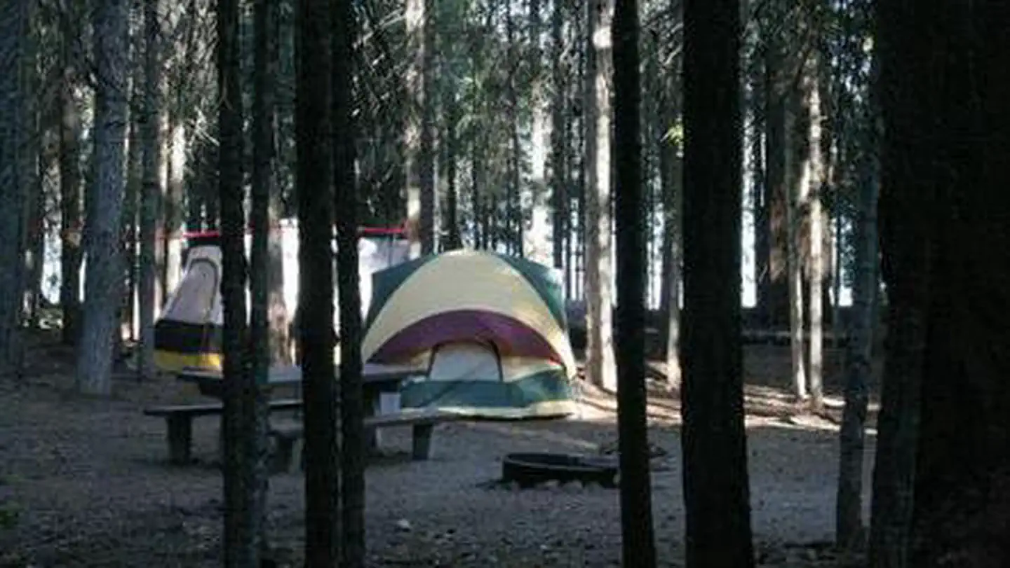
Photo 1 / 2
State Park
Photo: BLMPublic domainRecreation.gov
Surveyor Recreation Site
Cascade-Siskiyou National Monument · Klamath Falls, OR
Verify with the state park system
State parks set their own rules and reservation systems. Fire bans, road closures, and operating dates change seasonally — check the state park website before traveling.
Pricing
Check official pricing0.0
0 Reviews
Official sources & verification
Managed by State Park
Managing agency
- Cascade-Siskiyou National Monument — official page
Park unit page with alerts and visitor information.
Verify by phone or mail
- Address:Klamath Falls, OR
About
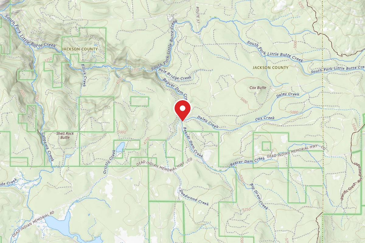
The campground has five campsites, a restroom, and a seasonal spring. You can find a lot of wildlife and birds at this campground. Proceed west for 15 miles through the town of Keno to the junction of Highway 66 and Keno Access Road. You can get to the campground entrance by going right on the closed Keno Access Road. Take Highway 66 east to the road. The site is only accessible during the late spring and early fall. The roads may be closed due to snow in the late fall and early spring.
Reviews
No reviews yet
Be the first to share your experience and help others plan their visit.
Campground Rules
- No campfires allowed
Within ~30 miles
Trails near Surveyor Recreation Site
Buck Peak
Oregon
1.1 mi312 ftgain
TrailDifficulty: Easy
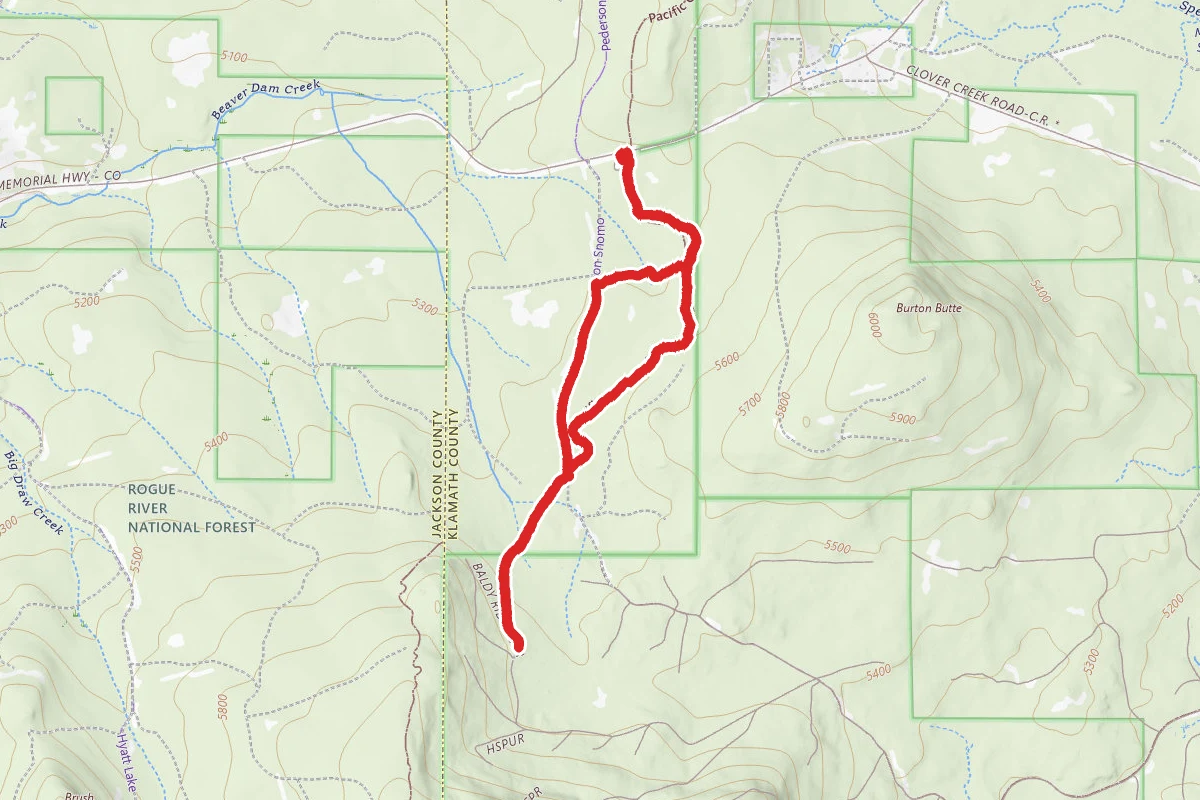
Pacific Crest Trail Loop from Dead Indian Memorial Road
Oregon
6.1 mi856 ftgain
TrailDifficulty: Moderate
Pederson Nordic
Oregon
1.8 mi43 ftgain
TrailDifficulty: Easy
Hyatt-Lake of Woods Snomo
Oregon
13.5 mi1,204 ftgain
TrailDifficulty: Expert
Glasgow Loop Nordic
Oregon
4.3 mi200 ftgain
TrailDifficulty: Easy
Pct: Rrs Central
Oregon
7.7 mi1,171 ftgain
TrailDifficulty: Difficult
Hunt context
Hunting units around this campground
During hunting seasons, wear blaze orange and check regulations — see the Oregon hunting page
Nearby Campgrounds
Spot an error in our data on Surveyor Recreation Site?