State Park
Spillway Recreation Area
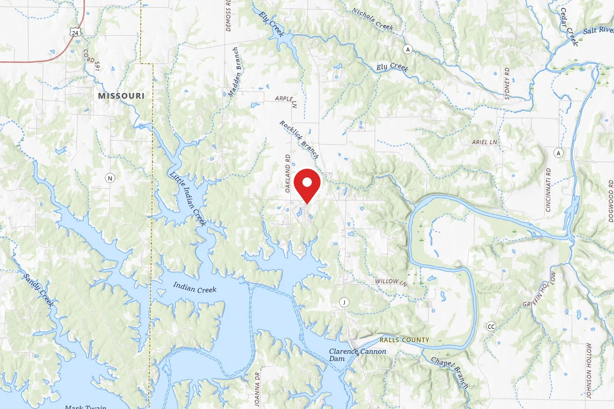
Center, MO
Pricing varies — check with the operator
Verify with the state park system
State parks set their own rules and reservation systems. Fire bans, road closures, and operating dates change seasonally — check the state park website before traveling.
Pricing
Pricing varies — check with the operator0.0
0 Reviews
Official sources & verification
Managed by State Park
Verify by phone or mail
- Address:Center, MO
About
Overview
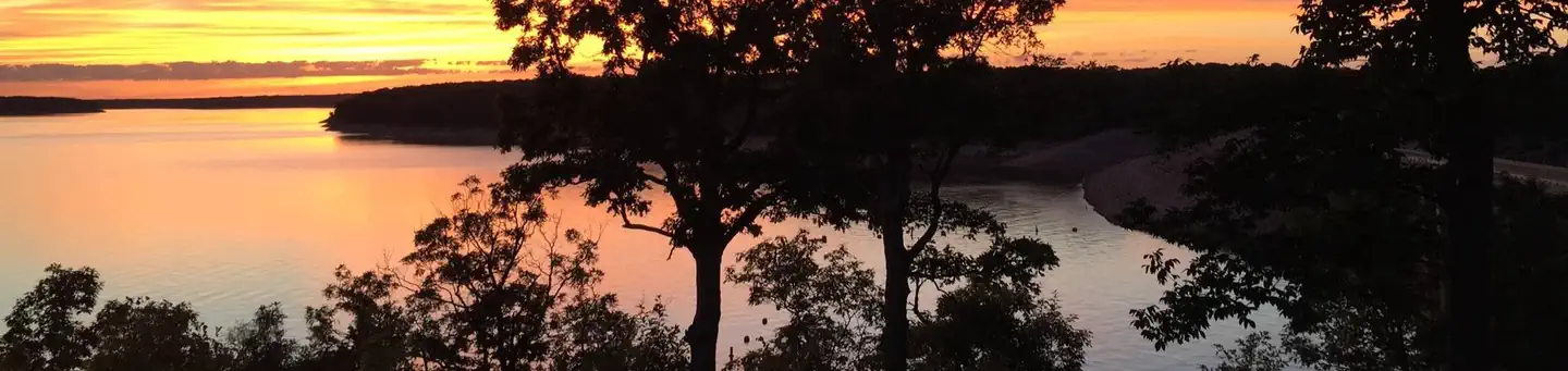
Missouris Spillway Recreation Area is tucked in a cove near the Wappapello Dam on Wappapello Lake. The area provides plenty of recreation for day-use visitors, including boating, fishing or playing volleyball by the lakeshore.
[Click here to take a virtual tour of the facilities at Wappapello Lake.](http://www.photographyoptions.net/images/wappapello/tour.html)
Natural Features:
Wappapello Lake has a seemingly endless string of secluded coves hugged by a winding, wooded shoreline. The public recreation area spans 45,000 acres in the southeastern Ozark foothills.
Recreation:
Boating and fishing are the most popular activities with largemouth bass, crappie, bluegill, white bass and channel catfish, among other species.
Pine Ridge Natural Trail, a 3/4-mile double loop, starts at the Spillway Recreation Area and provides an excellent way to explore the beautiful woodlands.
Facilities:
This day use area includes two large picnic shelters, 8 picnic sites, a volleyball court, playground, horseshoe pits and bank fishing.
Nearby Attractions:
The extensive 33-mile Ozark Trail, starts just south of Sam A. Baker State Park and winds along the west side of the St. Francis River and Wappapello Lake.
Reviews
No reviews yet
Be the first to share your experience and help others plan their visit.
Amenities
Electric Hookups
Accessible
Campground Rules
- No campfires allowed
Within ~30 miles
Trails near Spillway Recreation Area
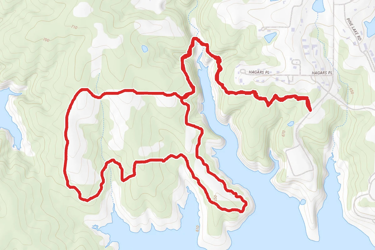
Joanna Trail and Prairie Loop
Missouri
4.3 mi525 ftgain
TrailDifficulty: Moderate
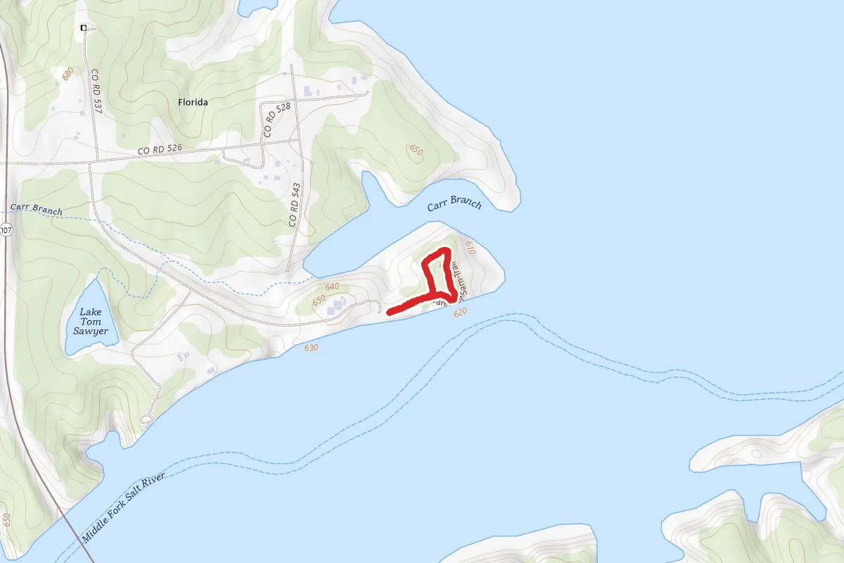
Barefoot Sam Trail
Missouri
0.4 mi79 ftgain
TrailDifficulty: Easy
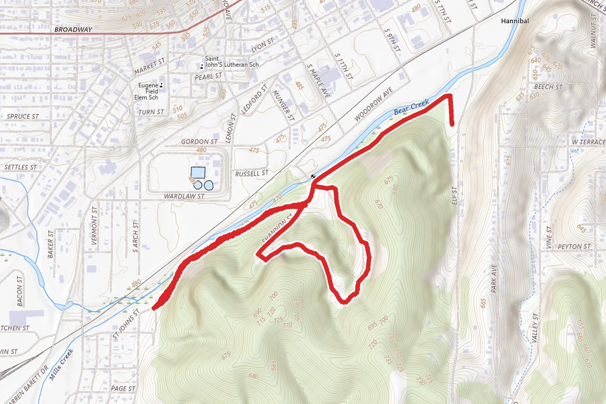
Sodalis Paved Trail
Missouri
2.6 mi545 ftgain
TrailDifficulty: Moderate
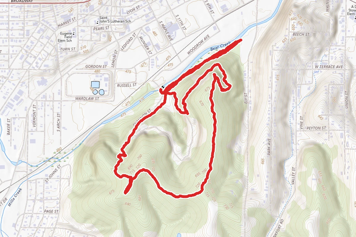
Sodalis and Pirate Ridge Loop
Missouri
2.9 mi735 ftgain
TrailDifficulty: Moderate
Union Covered Bridge
Missouri
0.2 mi13 ftgain
TrailDifficulty: Easy
Nearby Campgrounds
Spot an error in our data on Spillway Recreation Area?