State Park
Shirley Creek
Oden, AR
Verify with the state park system
State parks set their own rules and reservation systems. Fire bans, road closures, and operating dates change seasonally — check the state park website before traveling.
Pricing
Check official pricing0.0
0 Reviews
Official sources & verification
Managed by State Park
Reserve or permit
- Reserve a site
Book a site directly with the operator.
Verify by phone or mail
- Address:Oden, AR
About
The picturesque and scenic Ouachita River is one of the most beautiful and clear rivers in the Ouachitas. Beginning in the Ouachita Mountains near Mena, AR, the Ouachita River is a popular floating and fishing river as it flows easterly through the Ouachita National Forest, eventually becoming part of Lake Ouachita and Lake Hamilton near Hot Springs, before continuing its journey south towards Louisiana.
Beginning near Pine Ridge, AR, the Ouachita offers about 45 miles of floatable river until it become Lake Ouachita near AR Hwy 27. Along this stretch, there are seven landing sites, five of which are float camps. These float camps include Shirley Creek, Rocky shoals, Fulton Branch. Dragover and River Bluff. All five float camps are free to the public. These Float camps typically have openings, even on some holiday weekends when other campgrounds are full. Only rarely are these float camps filled up.
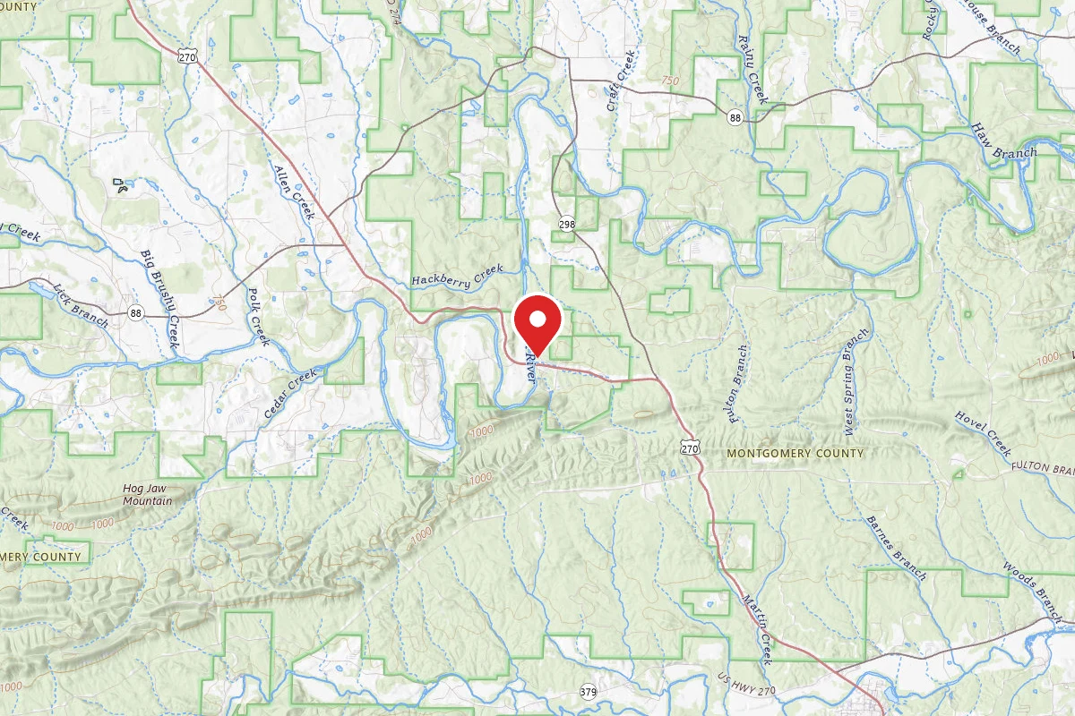
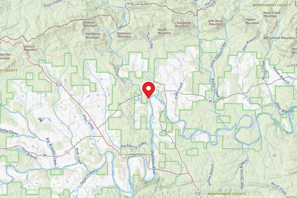
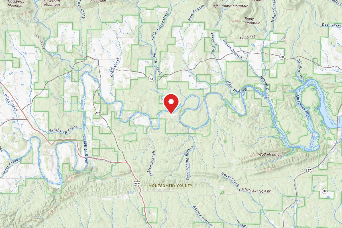
Shirley Creek Float Camp is located off of AR Hwy 88, west Pencil Bluff, and is situated right on the banks of the Ouachita River approx. 6 miles downstream from the Pine Ridge Access. This float camp offers six camping sites, as well as picnicking sites, a vault toilet and canoe access to the river.
Shirley Creek Float Camp is typically open Spring through Fall for overnight use, and is available for day use only the rest of the year.
Reviews
No reviews yet
Be the first to share your experience and help others plan their visit.
Amenities
Flush Toilets
Picnic Tables
Trash Service
Campground Rules
- No campfires allowed
Within ~30 miles
Trails near Shirley Creek
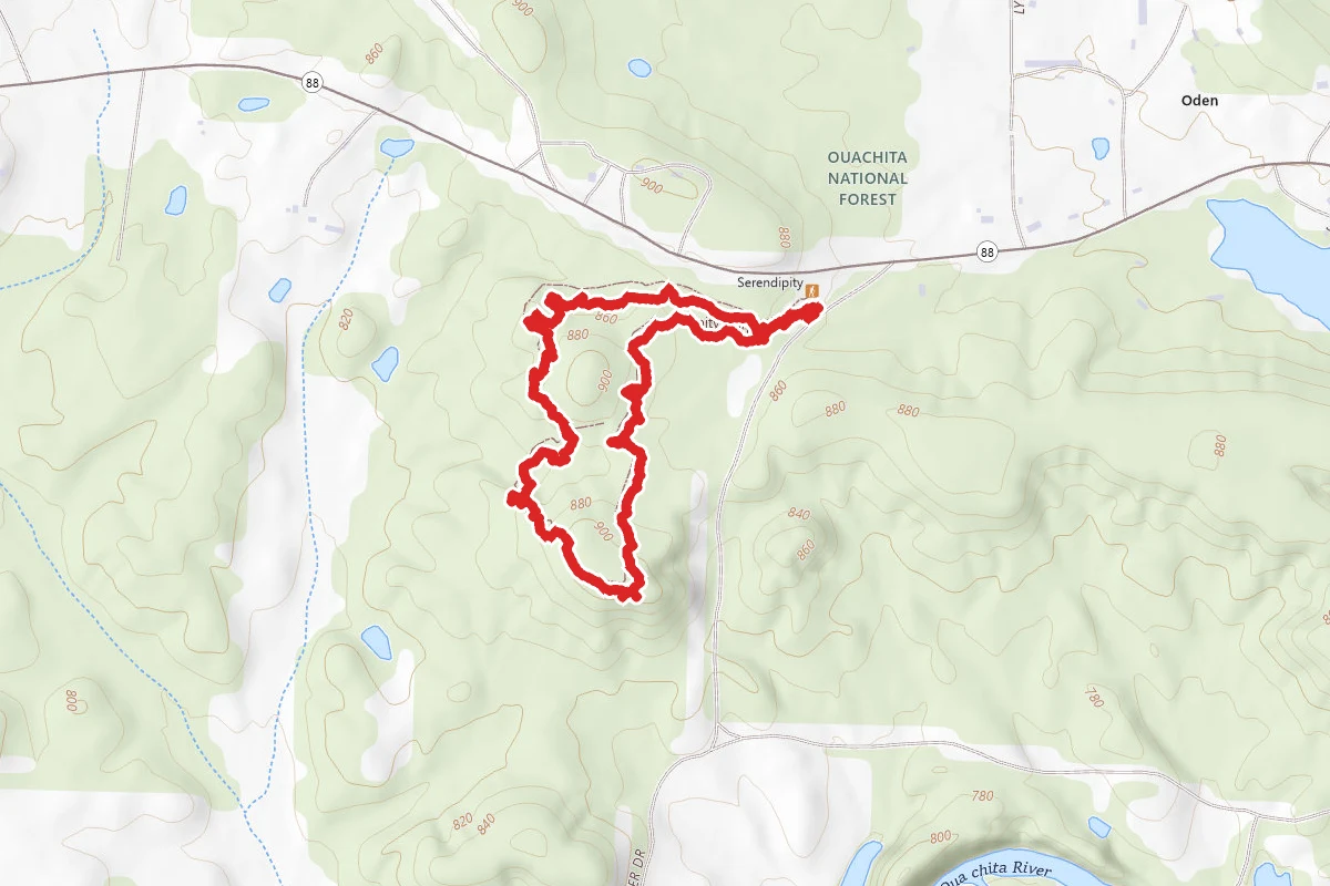
Serendipity Trail
Arkansas
1.7 mi285 ftgain
TrailDifficulty: Easy
Rockhouse
Arkansas
1.5 mi456 ftgain
TrailDifficulty: Easy
Mountain Top
Arkansas
1.3 mi184 ftgain
TrailDifficulty: Easy
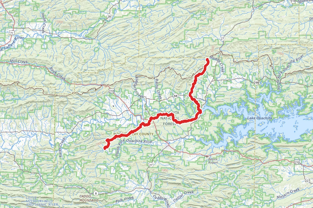
Womble Trail (West to East)
Arkansas
33.6 mi5,574 ftgain
TrailDifficulty: Expert
Brushy Mountain
Arkansas
1.0 mi302 ftgain
TrailDifficulty: Easy
Brushy Creek
Arkansas
3.2 mi482 ftgain
TrailDifficulty: Moderate
Nearby Campgrounds
Spot an error in our data on Shirley Creek?