BLM
Rockwell
UT
Verify with the local BLM field office
BLM site amenities, road access, and fire restrictions are managed by the local field office. Conditions change with weather and season — confirm before traveling.
Pricing
Check official pricing0.0
0 Reviews
Official sources & verification
Managed by Bureau of Land Management
Source of truth
- Agency source page
The page our published rules and notes are derived from.
Verify by phone or mail
- Operator:(435) 743-3100
- Email:utfmmail@blm.gov
About
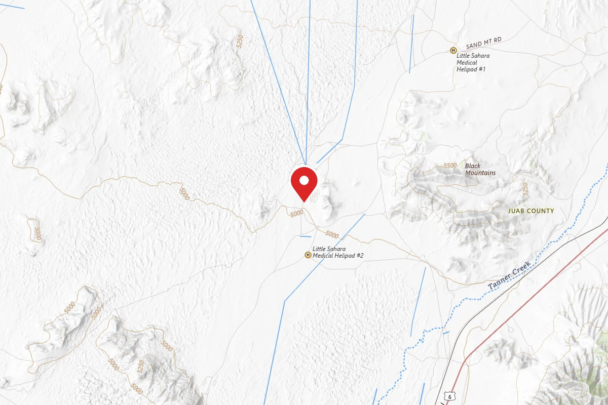
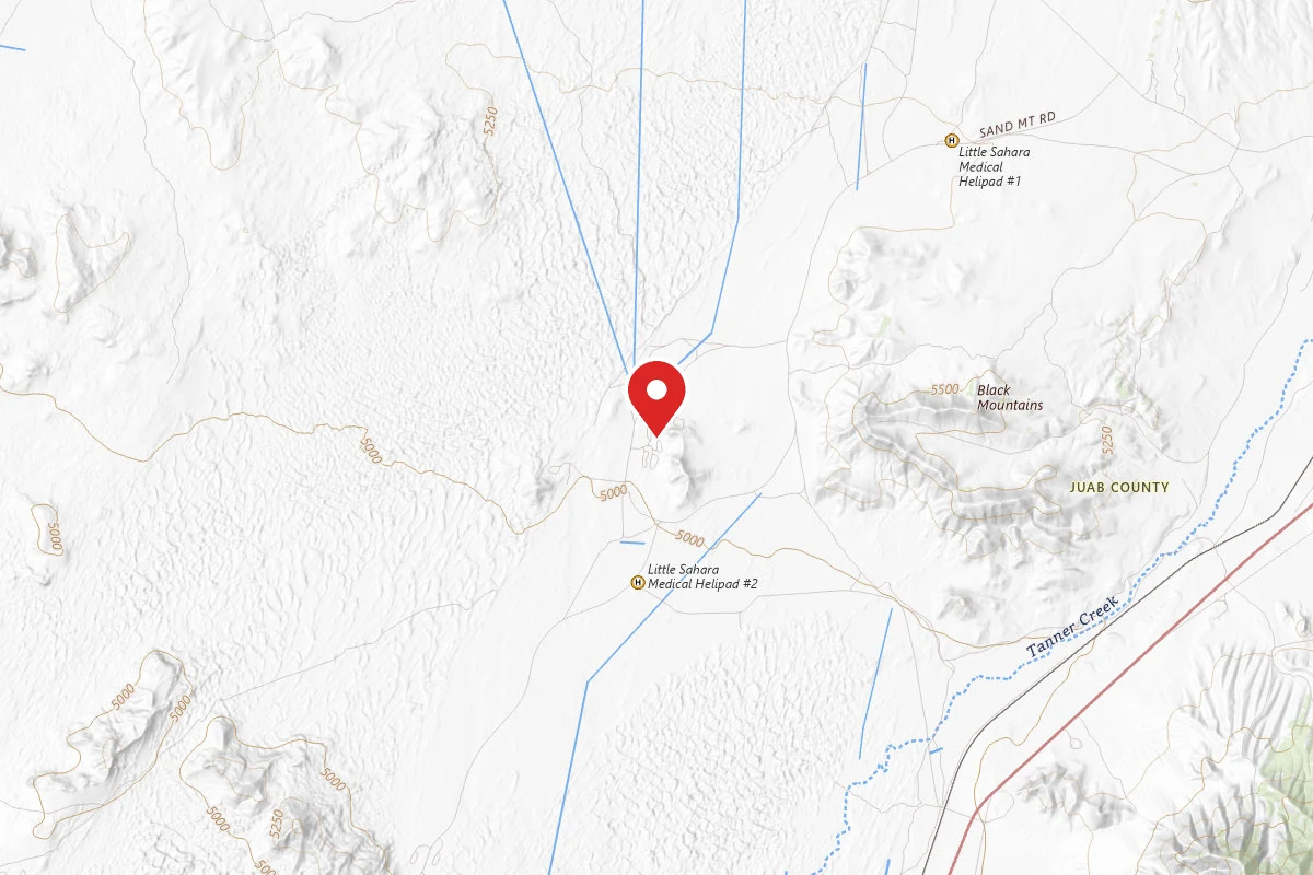
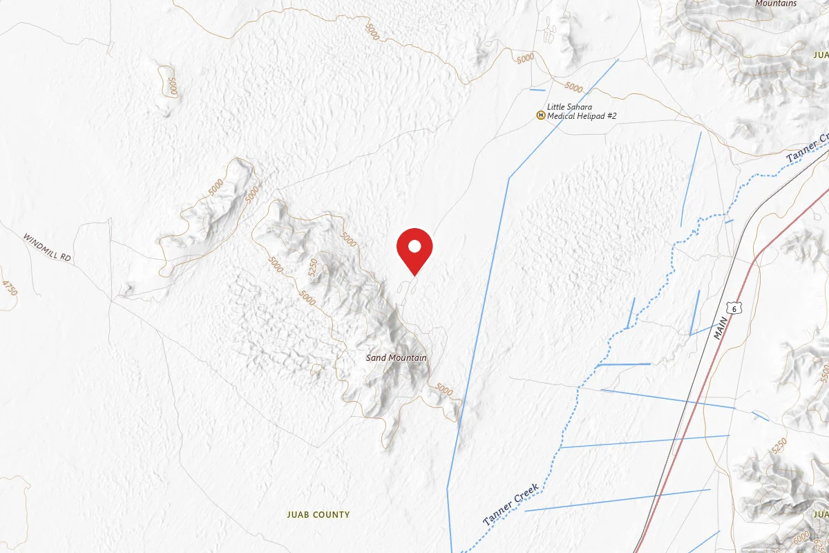
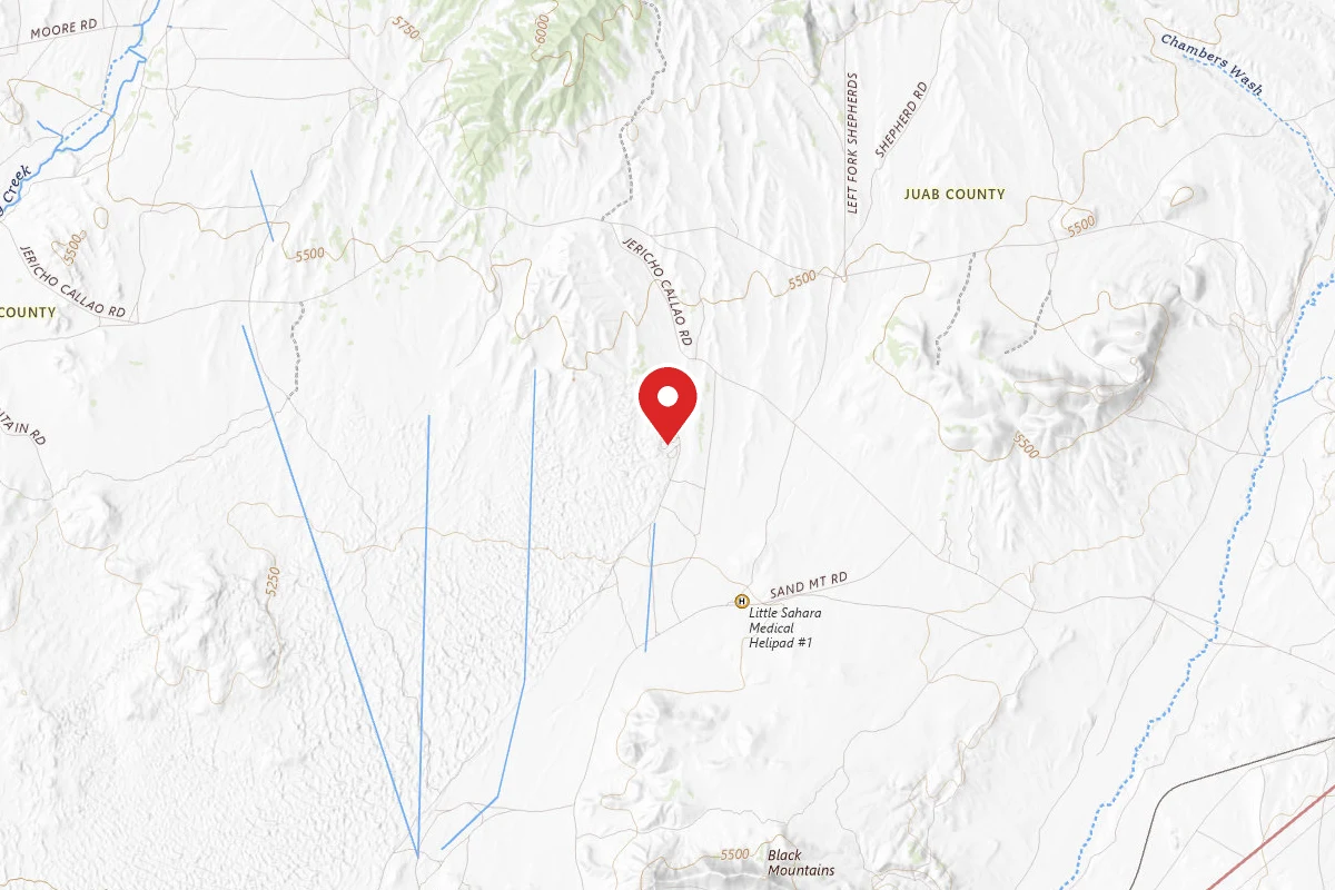
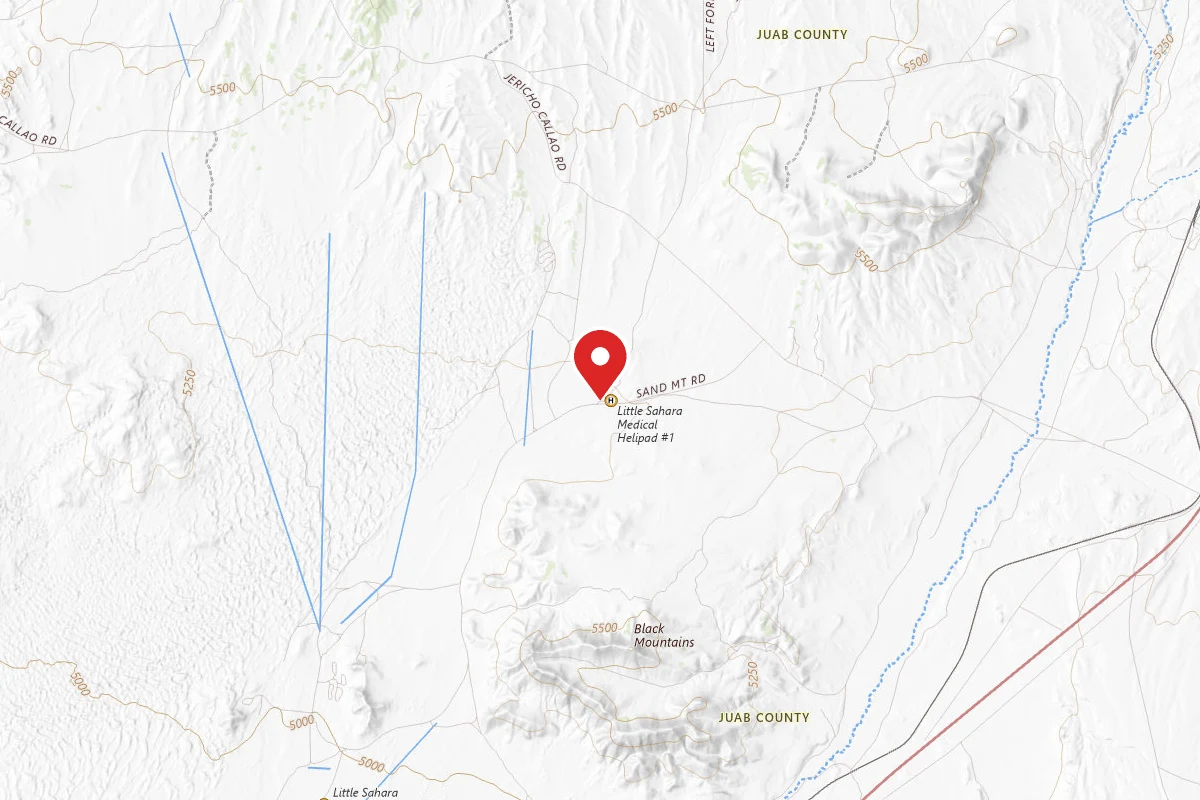
The WSA is an alluvium (loose soil shaped by water) and sand dune covered valley. The terrain consists of free-moving sand dunes, dunes stabilized by trees or brush, and sagebrush flats. Old juniper trees and changing shadow patterns on the dunes provide a variety of visual settings.A unique plant known as Atriplex canescens var gigantean grows in the WSA. It is a four-wing saltbrush that grows to 10 feet tall and appears to be the last relic community of a plant species that was once widespread.
Reviews
No reviews yet
Be the first to share your experience and help others plan their visit.
Within ~30 miles
Trails near Rockwell
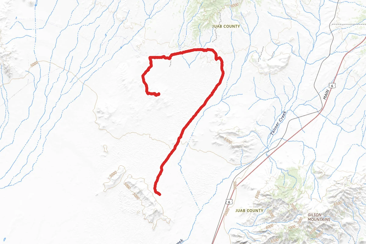
Lovers Point OHV Trail
Utah
18.0 mi1,804 ftgain
TrailDifficulty: Expert
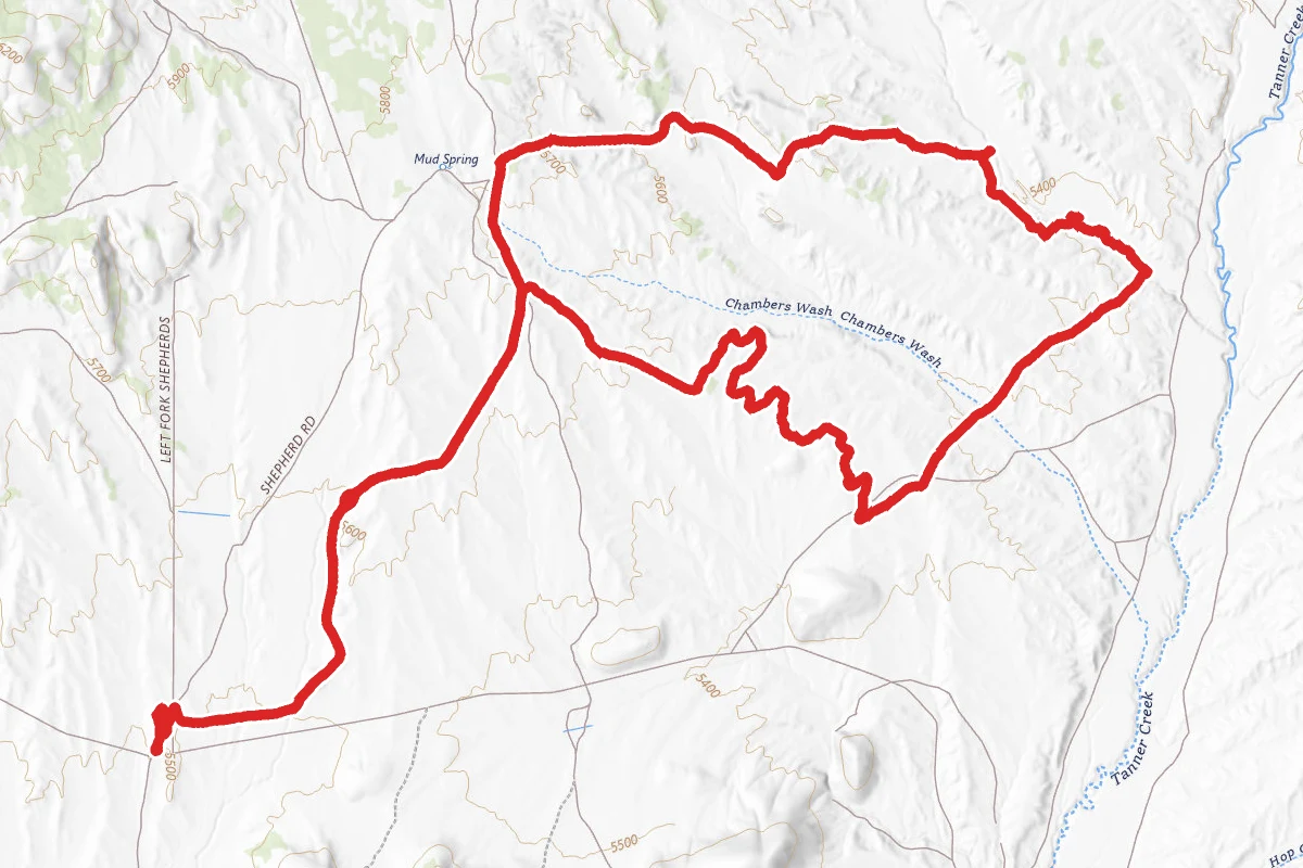
Cherry Creek OHV Trail
Utah
15.8 mi1,562 ftgain
TrailDifficulty: Expert
Sheeprock Canyon
Utah
1.0 mi705 ftgain
TrailDifficulty: Easy
Left Fork Sheeprock Canyon
Utah
1.1 mi735 ftgain
TrailDifficulty: Easy
Sheeprock Canyon Mine
Utah
0.3 mi59 ftgain
TrailDifficulty: Easy
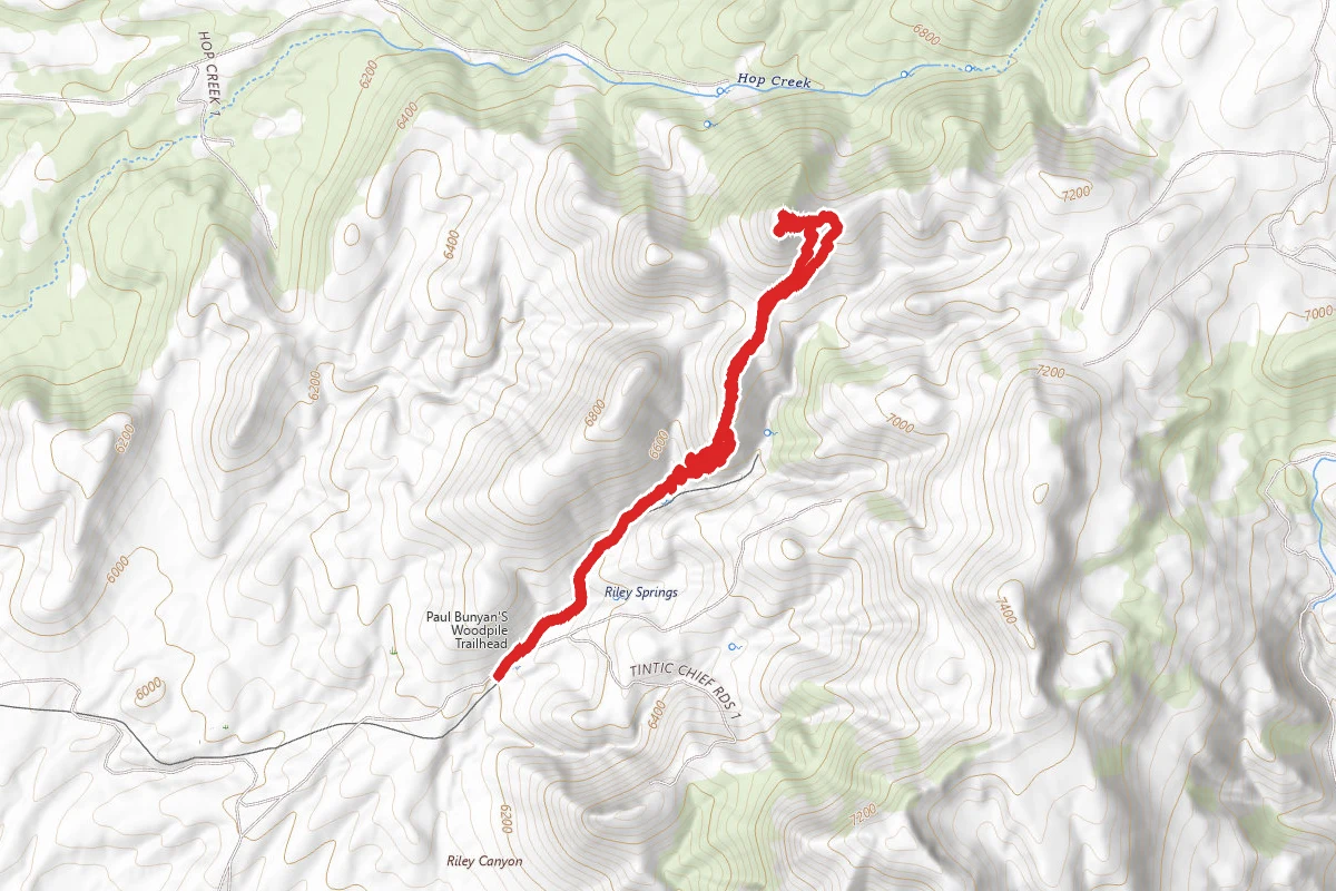
Teeter-Totter Hill
Utah
3.3 mi1,224 ftgain
TrailDifficulty: Moderate
Hunt context
Hunting units around this campground
During hunting seasons, wear blaze orange and check regulations — see the Utah hunting page
Nearby Campgrounds
Spot an error in our data on Rockwell?