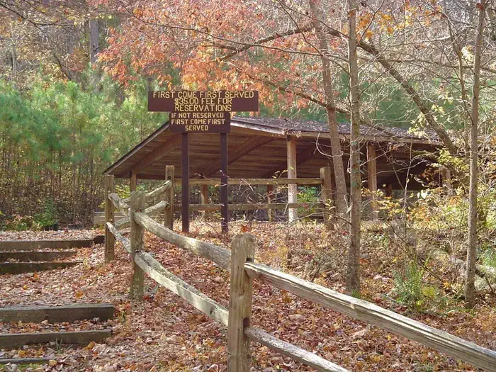
Photo: Gary FleetPublic domainRecreation.gov
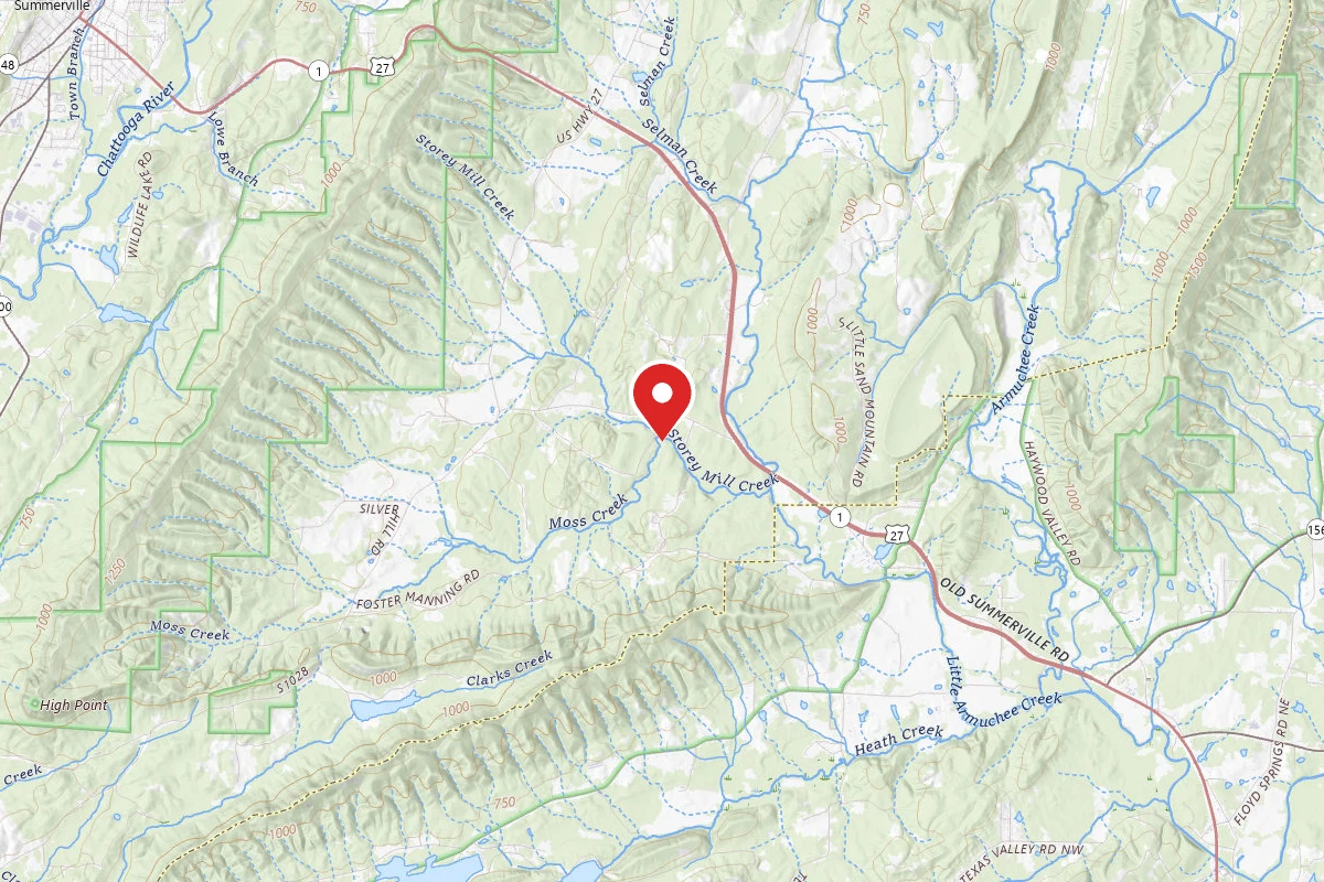
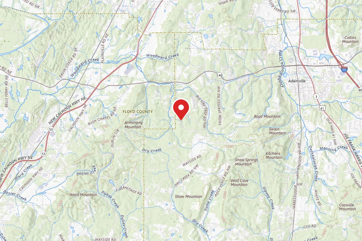
Chattahoochee National Forest · Armuchee, GA
Verify with the state park system
State parks set their own rules and reservation systems. Fire bans, road closures, and operating dates change seasonally — check the state park website before traveling.
Official sources & verification
Managed by State Park
Source of truth
- Operator website
Listed website for the campground operator.
Reserve or permit
- Reserve on Recreation.gov
Book a site directly with the operator.
Verify by phone or mail
- Operator:706-695-6736
- Address:3941 Highway 76 · Armuchee, GA · 30705
Live availability
via Recreation.govAvailability is a recent snapshot, not a live hold — you always complete the booking on recreation.gov.
About
Reviews
No reviews yet
Be the first to share your experience and help others plan their visit.
How busy it gets
Recreation.gov5 camper reviews on Recreation.gov
Amenities
Cell reception
Camper reports · checked Sep 29, 2026No Service
Average 0.3 of 4 bars · 3 reports across 1 carrier
Unable to get a signal. Can not make phone calls; No data.
AT&T
No Service
0.3/4
3 reports
Reported by campers on Recreation.gov, not measured by us. Reception varies by handset, weather, and where you stand in the campground. Recreation.gov
Campground Rules
- Campfires generally permitted — verify current fire restrictions before lighting
Individual Sites (1)
In this park
Trails at Chattahoochee National Forest
Within ~30 miles
Trails near Pocket
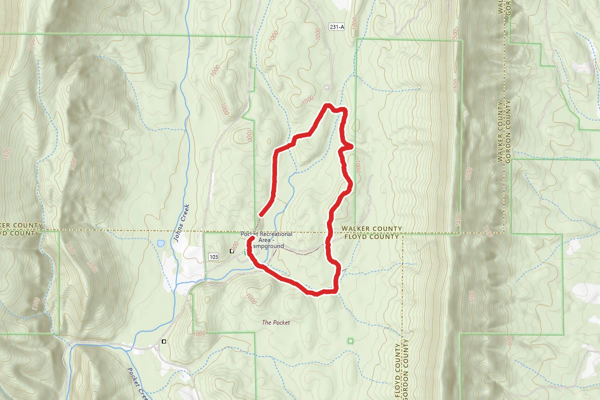
The Pocket Campground
Georgia
Pocket Trail Connector
Georgia
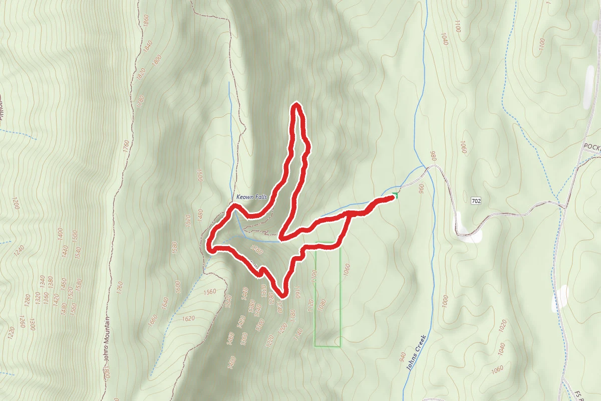
Keown Falls Trail
Georgia
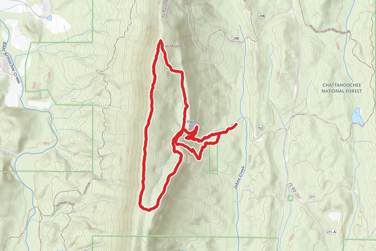
Johns Mountain and Pinhoti Loop
Georgia
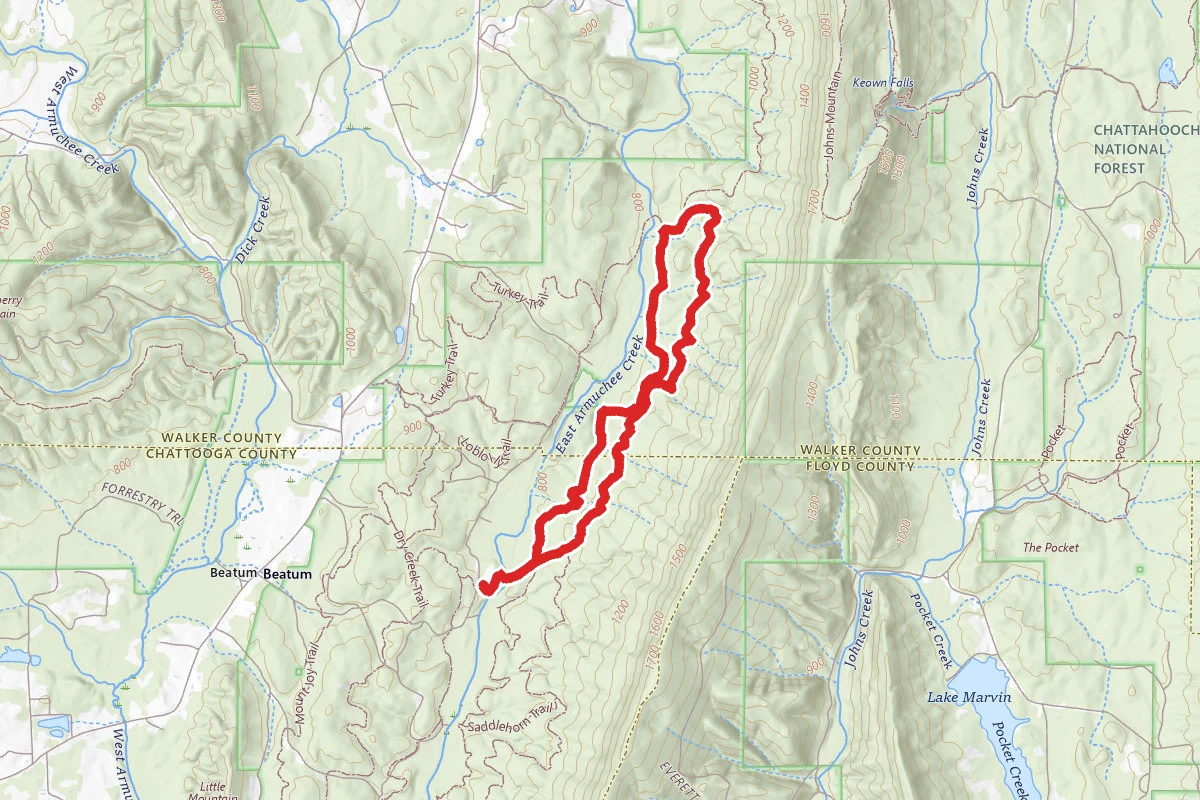
Wheat Trail along Dry Creek
Georgia
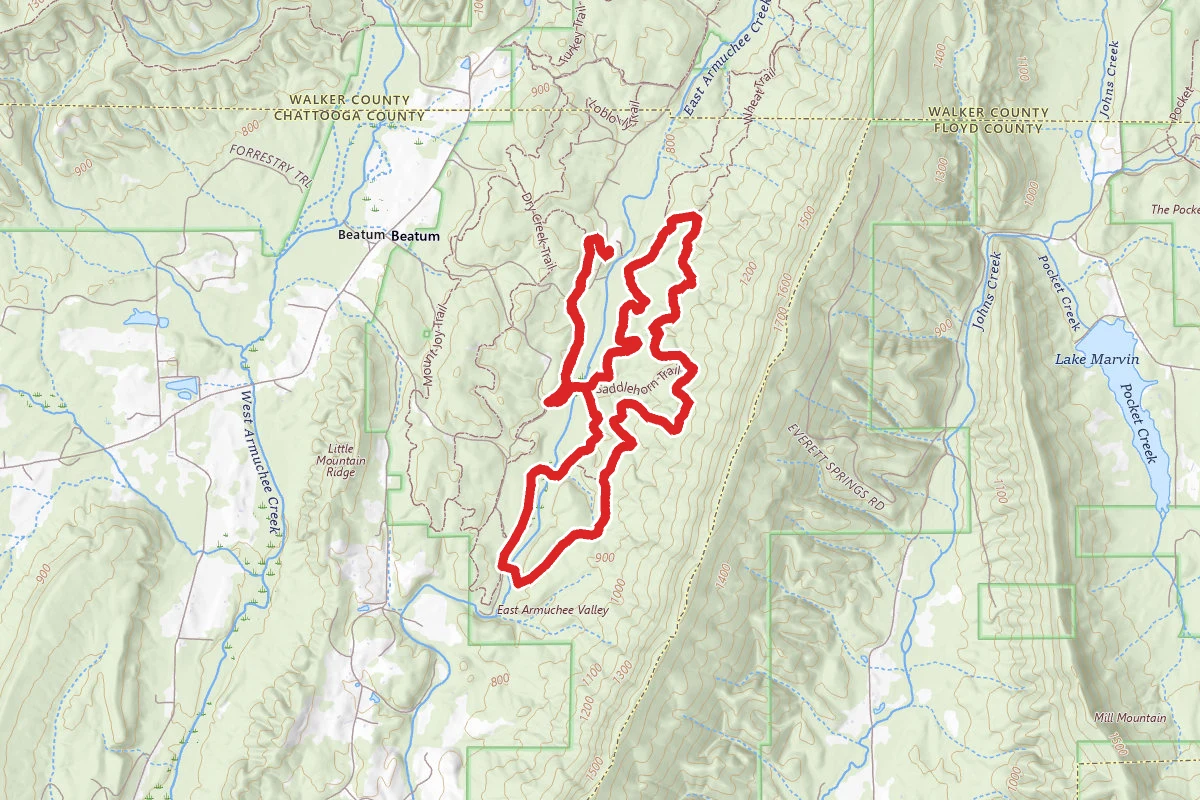
East Armuchee Trail
Georgia
Hunt context
Hunting unit around this campground
During hunting seasons, wear blaze orange and check regulations — see the Georgia hunting page