Dispersed
Peloncillo Mountains Dispersed Camping
Animas, NM
Dispersed camping — confirm current rules
This is a dispersed-camping point on public land. Fire restrictions, road conditions, and access change seasonally. Verify with the managing agency before traveling.
Pricing
Check official pricing0.0
0 Reviews
Official sources & verification
Managed by Dispersed/Primitive
Source of truth
- Agency source page
The page our published rules and notes are derived from.
- Operator website
Listed website for the campground operator.
Verify by phone or mail
- Address:Animas, NM
About
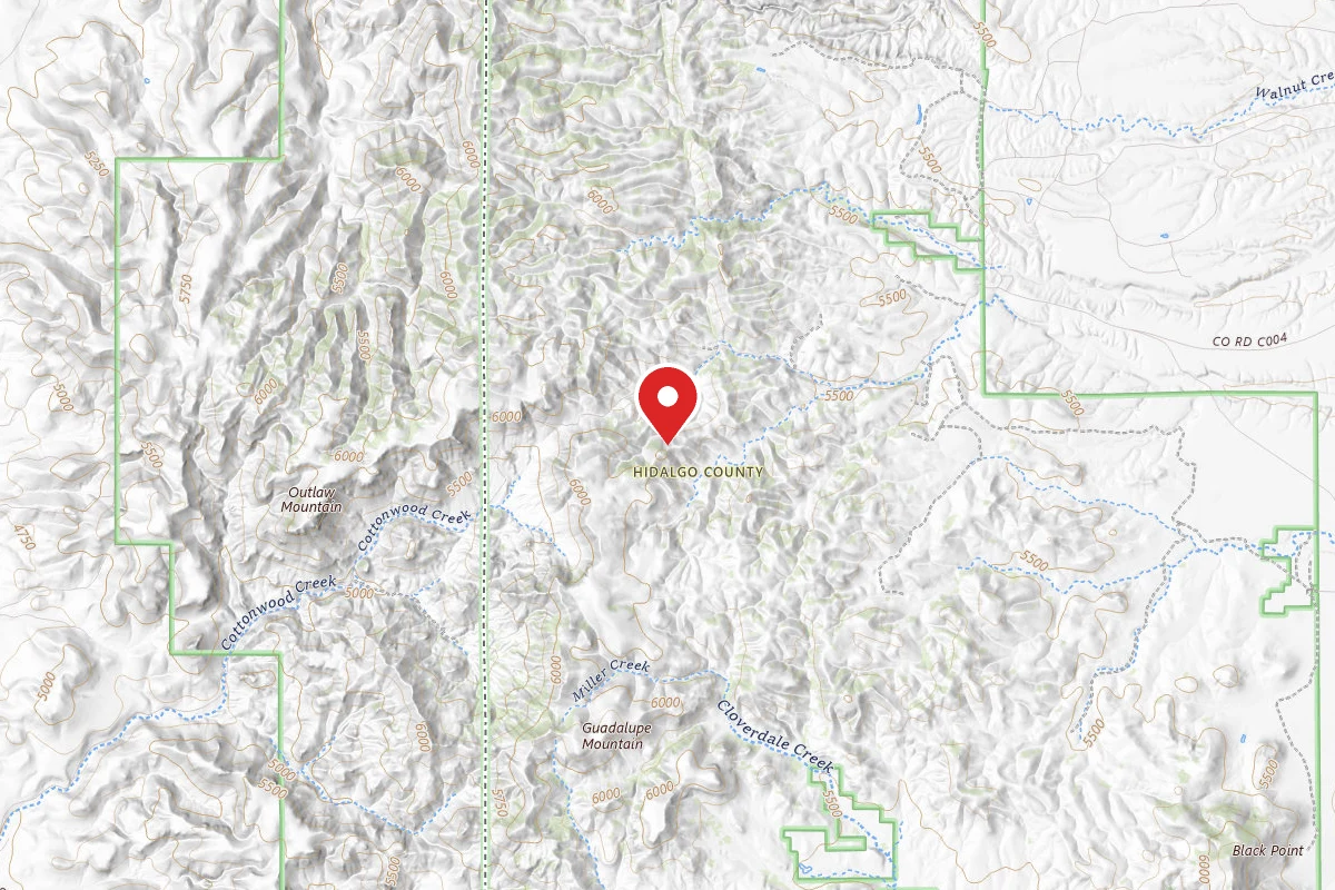
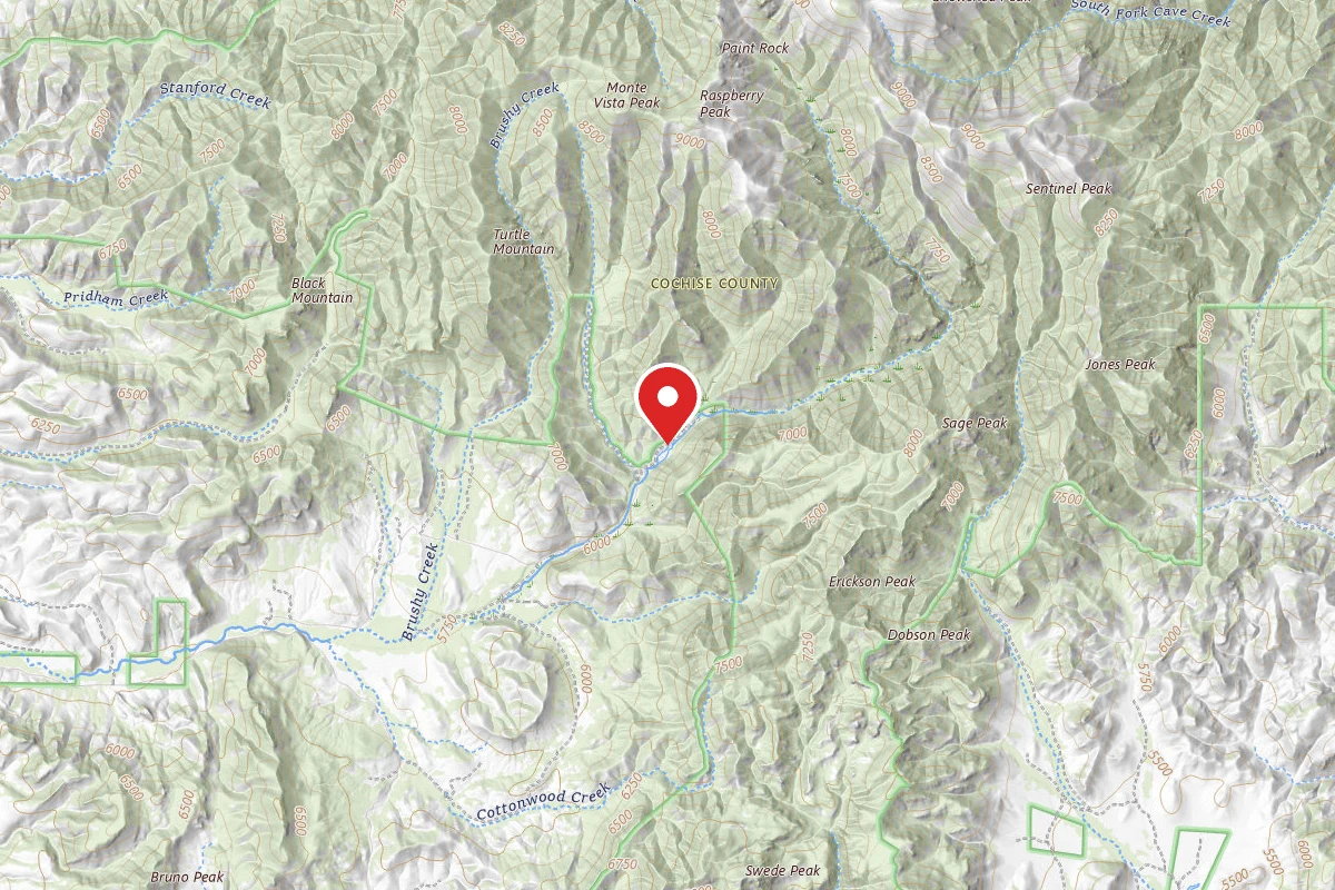
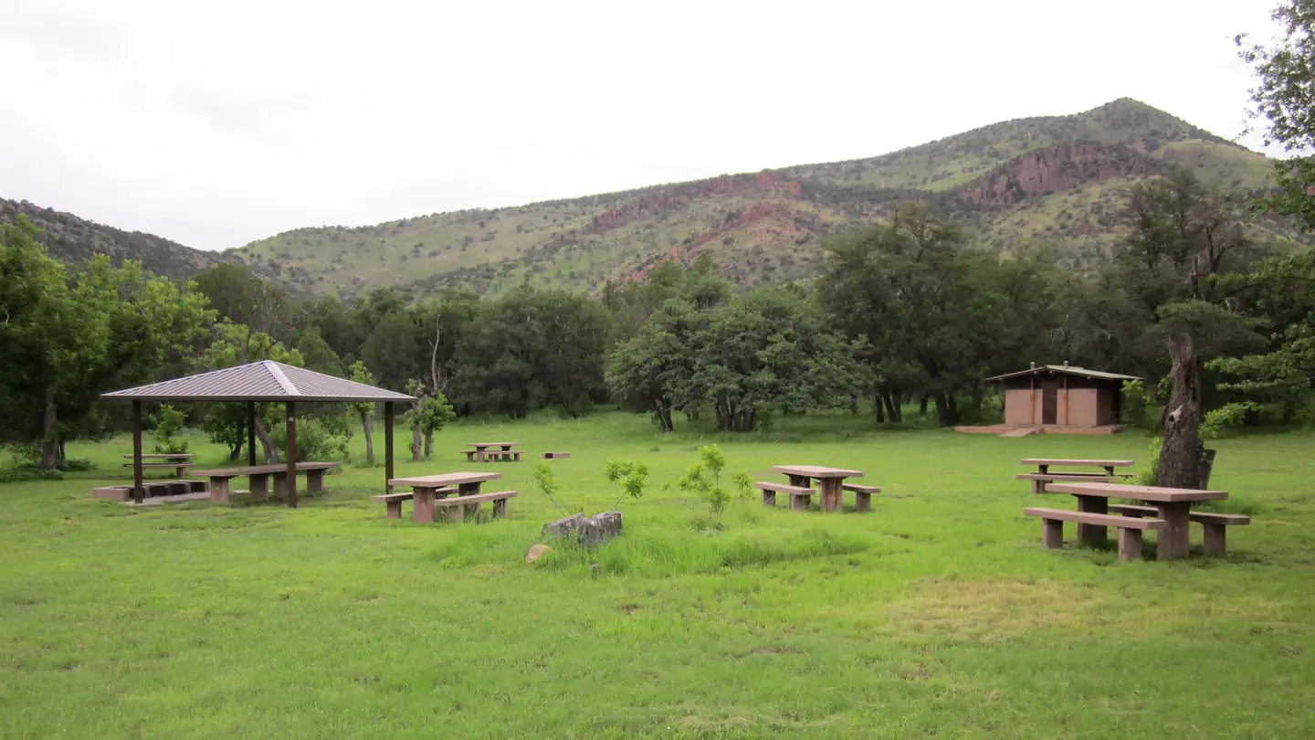
The Peloncillo Mountains stretch approximately 70 miles from the U.S.-Mexico border north to the Gila River. The range is situated southeast of the Chiricahua Mountains and just north of the U.S.-Mexico border. It is located approximately one hour east of Douglas, AZ and one hour south of Lordsburg,NM.The mountains rise abruptly from a sea of desert grassland, contributing to the Coronado’s “sky island” character. Elevations range from 4,570 feet to 6,647 feet. The range straddles the Arizona-NewMexico border, with 81 percent resting in New Mexico. The 19,056-acre Bunk Robinson Wilderness Study Area and the 12,163-acre Whitmire Canyon Wilderness Study Area flank the Geronimo Trail Road to the south and north, respectively. The 3,436-acre Guadalupe Canyon Zoological Area forms part of the Peloncillo Ecosystem Management Area’s southern boundary and is almost entirely contained within the Bunk Robinson Wilderness Study Area.There are no developed recreational areas in the Peloncillo Mountains of the Coronado National Forest, but ample dispersed camping and primitive recreation opportunities make this mountain range a must for those looking for secluded, rugged adventure.When camping in the Peloncillo Mountain, please follow Dispersed Camping Best Practices. No amenities are available.
Reviews
No reviews yet
Be the first to share your experience and help others plan their visit.
Campground Rules
- Campfire rules vary by season + location — verify current fire restrictions with the managing agency before lighting
Within ~30 miles
Trails near Peloncillo Mountains Dispersed Camping
Sage Peak via Red Rock Canyon Trail
Arizona
11.0 mi3,012 ftgain
TrailDifficult
Monte Vista Trail
Arizona
7.4 mi3,074 ftgain
TrailDifficult
Herb Martyr Trail
Arizona
5.5 mi2,270 ftgain
TrailDifficult
Greenhouse Trail to Winn Falls Overlook
Arizona
6.1 mi2,201 ftgain
TrailDifficult
Johnson Peak Loop
Arizona
9.3 mi3,678 ftgain
TrailExpert
Hunt context
Hunting unit around this campground
During hunting seasons, wear blaze orange and check regulations — see the New Mexico hunting page
Nearby Campgrounds
Spot an error in our data on Peloncillo Mountains Dispersed Camping?