BLM
Paiute Trail
UT
Verify with the local BLM field office
BLM site amenities, road access, and fire restrictions are managed by the local field office. Conditions change with weather and season — confirm before traveling.
Pricing
Check official pricing0.0
0 Reviews
Official sources & verification
Managed by Bureau of Land Management
Source of truth
- Agency source page
The page our published rules and notes are derived from.
Verify by phone or mail
- Operator:(435) 896-1500
- Email:utrfmail@blm.gov
About
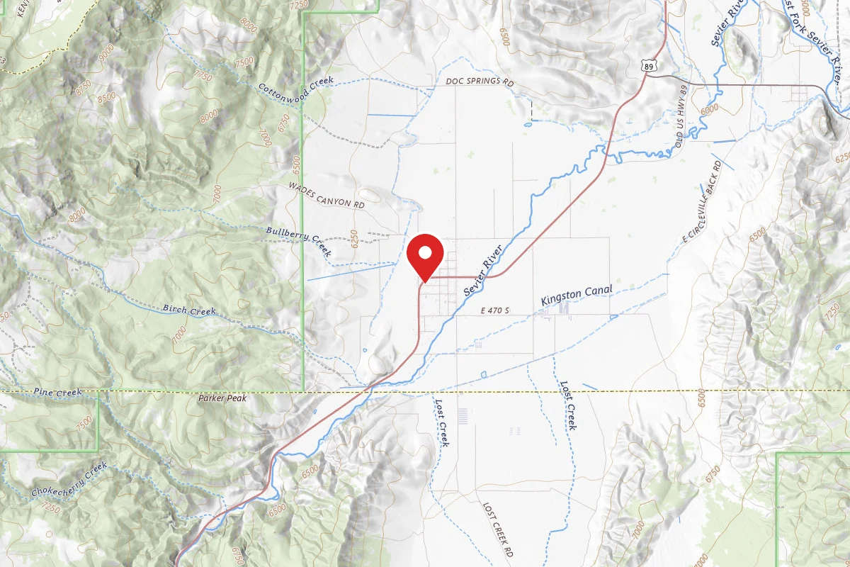
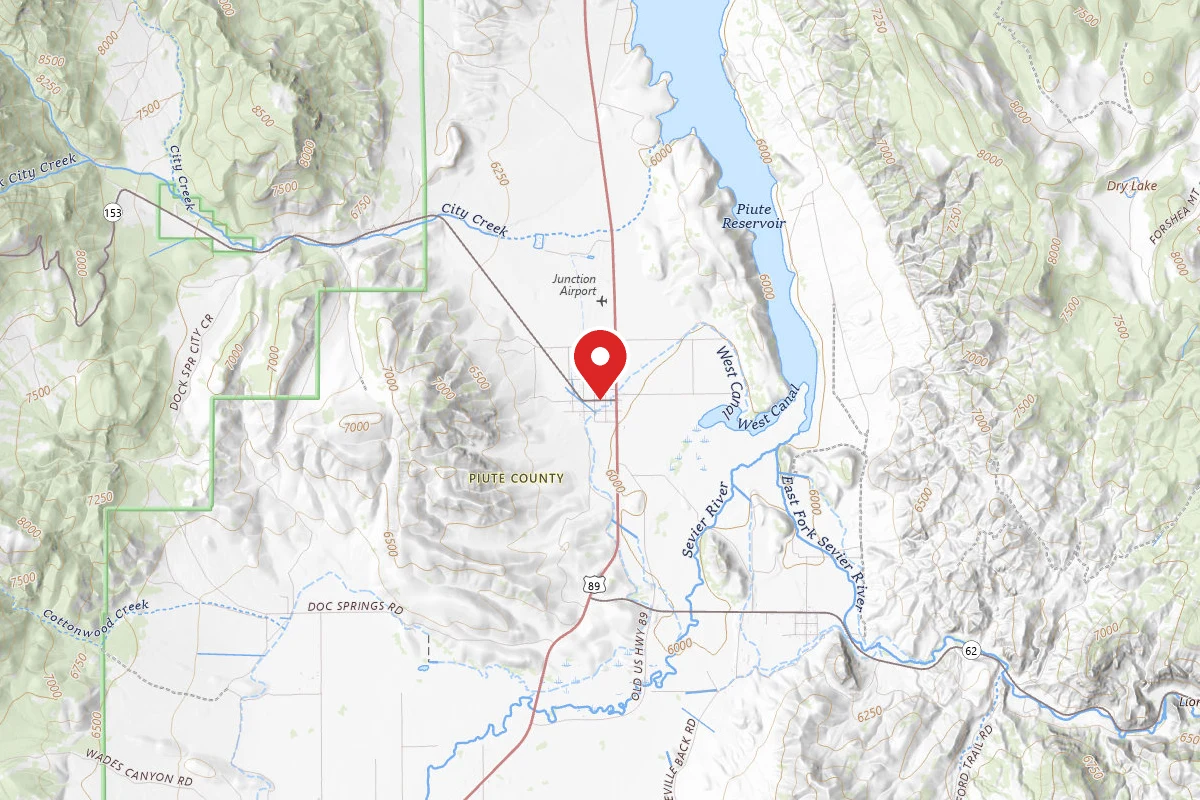
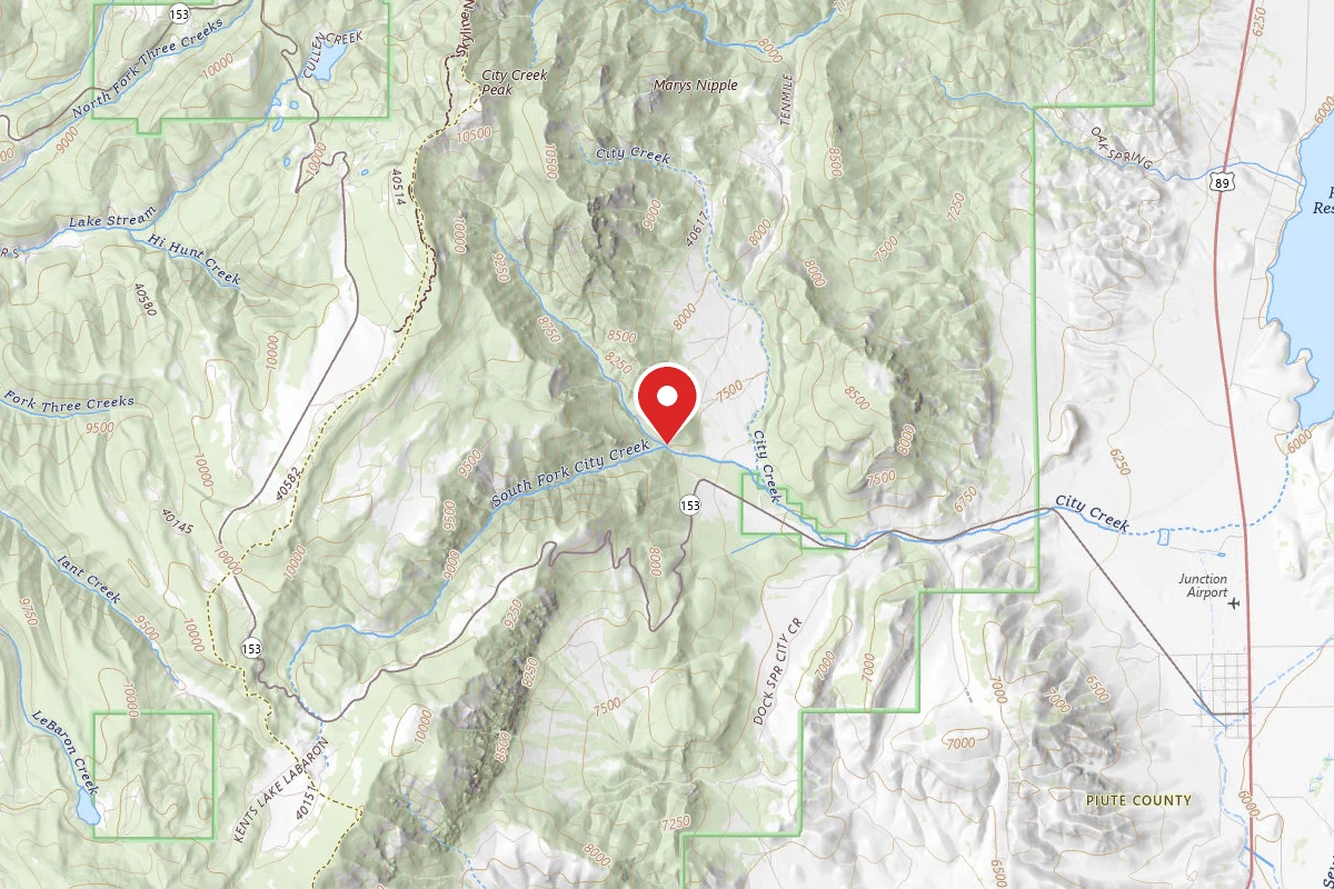
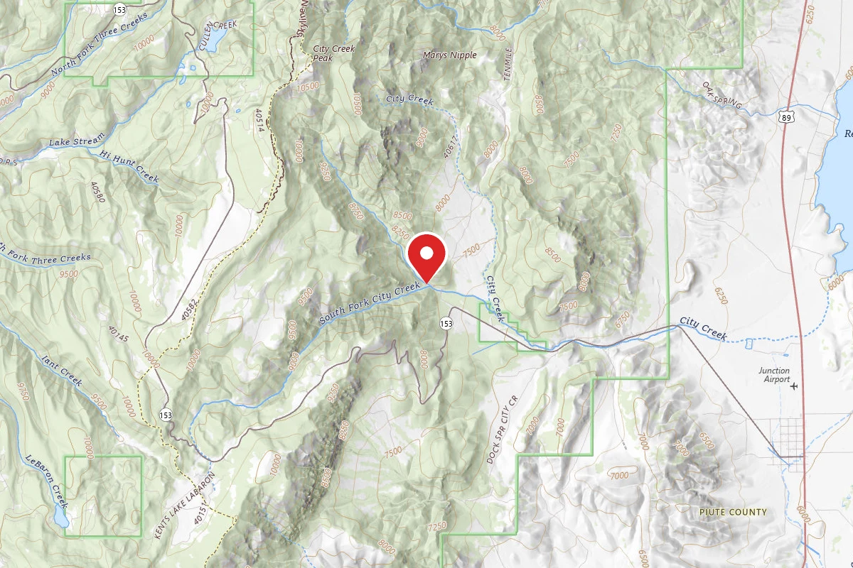
In addition to the Richfield Field Office routes, 974 miles of this extensive ATV trail system is managed in conjunction with the Forest Service, State Parks and private landowners. This trail system is a significant regional destination for individual and groups and attracts several large-scale organized events. The trail system crosses three State parks, several mountain ranges and scenic vistas covering a large amount of central Utah. Loops and side trails also criss-cross the valleys, offering access to many of the local communities. Whether you want to ride for a few hours or a few days, this system is for you.
Reviews
No reviews yet
Be the first to share your experience and help others plan their visit.
Within ~30 miles
Trails near Paiute Trail
Hunt context
Hunting units around this campground
During hunting seasons, wear blaze orange and check regulations — see the Utah hunting page
Nearby Campgrounds
Spot an error in our data on Paiute Trail?