Dispersed
North Fork of Chewelah Creek
WA
Dispersed camping — confirm current rules
This is a dispersed-camping point on public land. Fire restrictions, road conditions, and access change seasonally. Verify with the managing agency before traveling.
Pricing
Check official pricing0.0
0 Reviews
Official sources & verification
Managed by Dispersed/Primitive
Source of truth
- Agency source page
The page our published rules and notes are derived from.
About
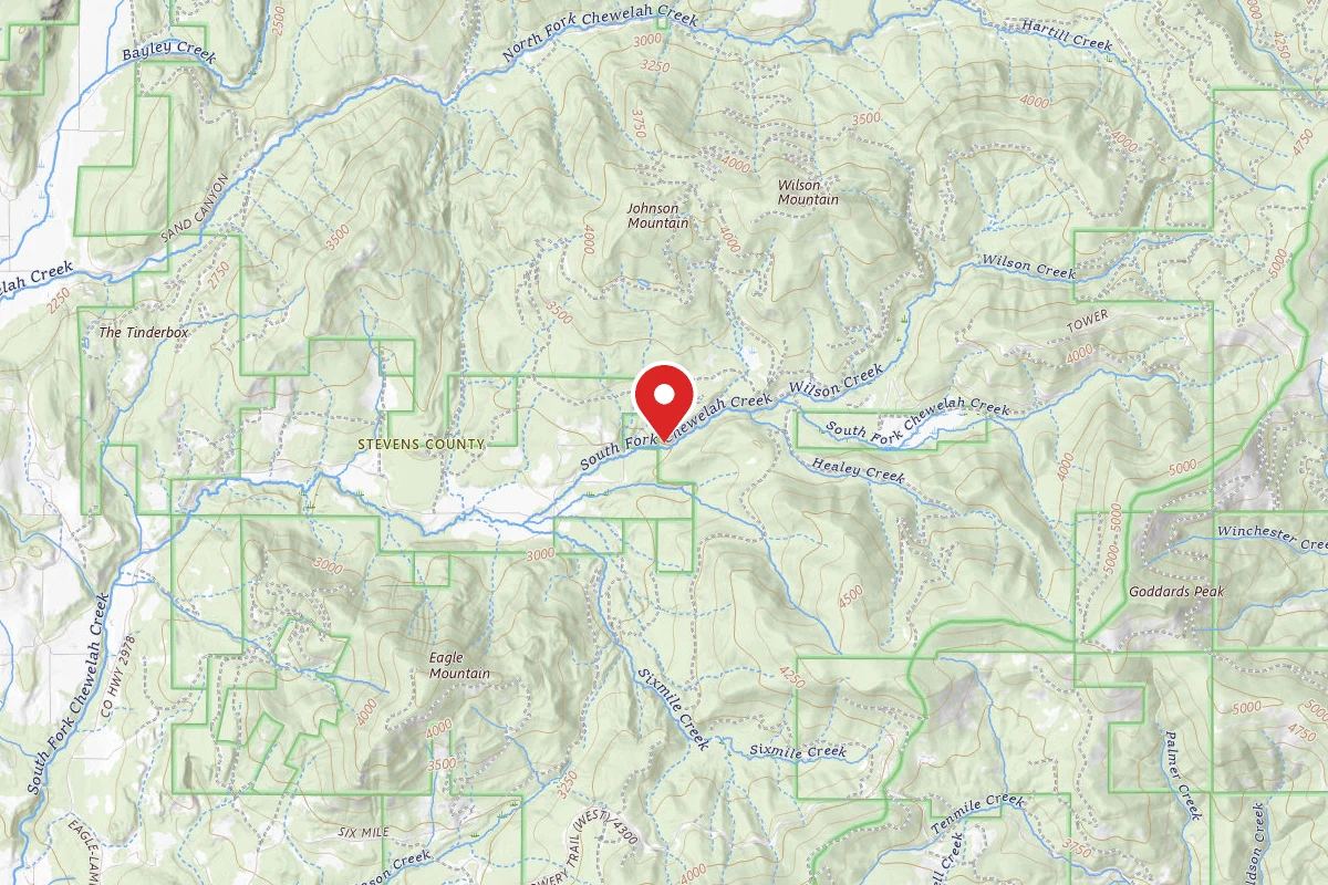
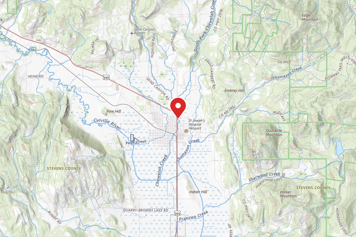
The stream flows through low wooded mountains joining the South Fork to form Chewelah Creek. This stream flows into the Colville River. In addition to fishing, visitors also hunt, horseback ride and camp along the creek. There are approximately 8 miles of the North Fork located on NFS lands. There are also many tributaries to the North Fork that are fishable. There are dispersed camping sites that exist along the stream at various locations.
Reviews
No reviews yet
Be the first to share your experience and help others plan their visit.
Campground Rules
- Campfire rules vary by season + location — verify current fire restrictions with the managing agency before lighting
Within ~30 miles
Trails near North Fork of Chewelah Creek
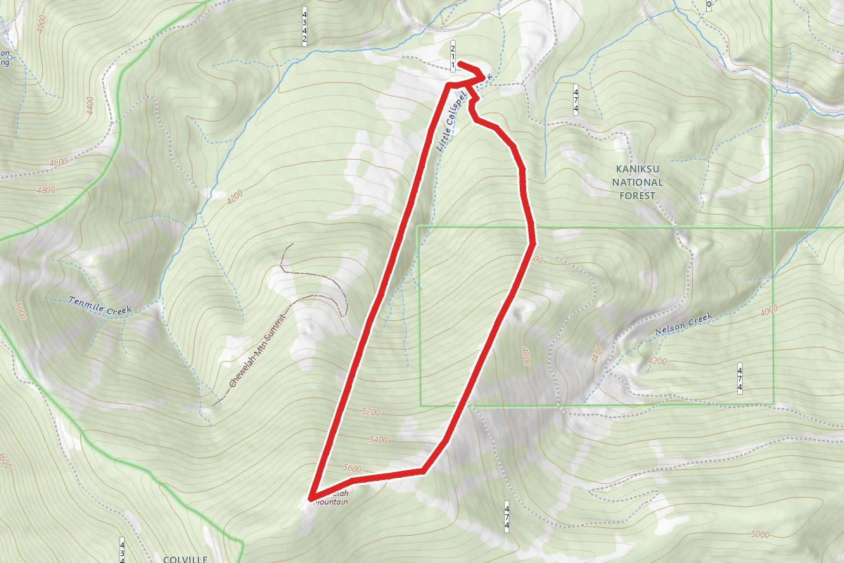
49 Degrees North Mountain Ski Resort
Washington
3.1 mi1,864 ftgain
TrailDifficulty: Difficult
Chewelah Mtn Summit
Washington
0.9 mi
Trail
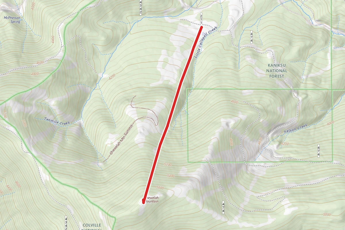
Quartzite Mountain
Washington
1.3 mi1,201 ftgain
TrailDifficulty: Moderate
Lupine Loop
Washington
0.3 mi
Trail
Calispell Ridge Trail
Washington
1.3 mi1,047 ftgain
TrailDifficulty: Moderate
Balsamroot Bomber
Washington
0.8 mi
Trail
Hunt context
Hunting unit around this campground
During hunting seasons, wear blaze orange and check regulations — see the Washington hunting page
Nearby Campgrounds
Spot an error in our data on North Fork of Chewelah Creek?