BLM
Merced River Recreation Management Area
CA
Verify with the local BLM field office
BLM site amenities, road access, and fire restrictions are managed by the local field office. Conditions change with weather and season — confirm before traveling.
Pricing
Check official pricing0.0
0 Reviews
Official sources & verification
Managed by Bureau of Land Management
Source of truth
- Agency source page
The page our published rules and notes are derived from.
Verify by phone or mail
- Operator:(209) 379-9414
- Email:BLM_CA_Web_ML@blm.gov
About
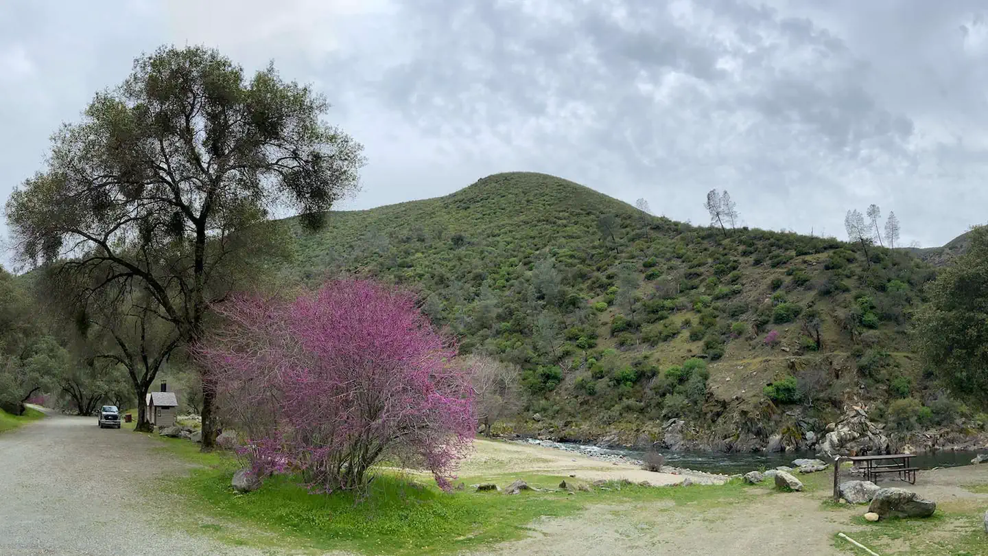
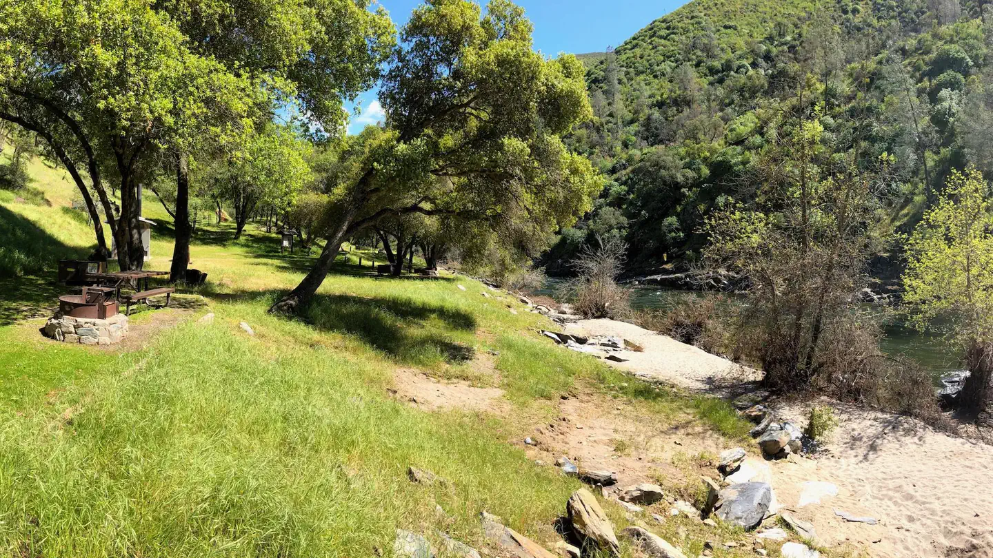
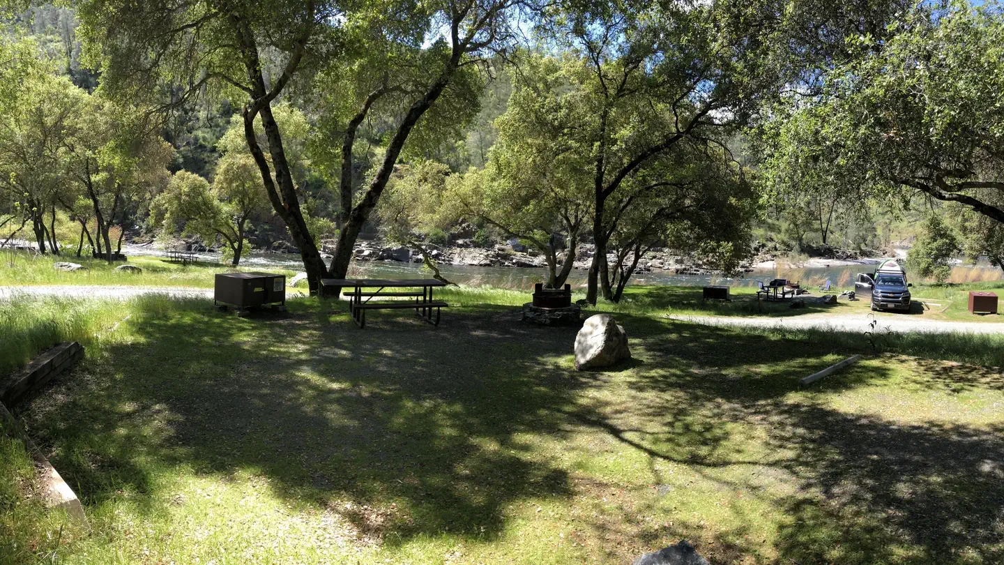
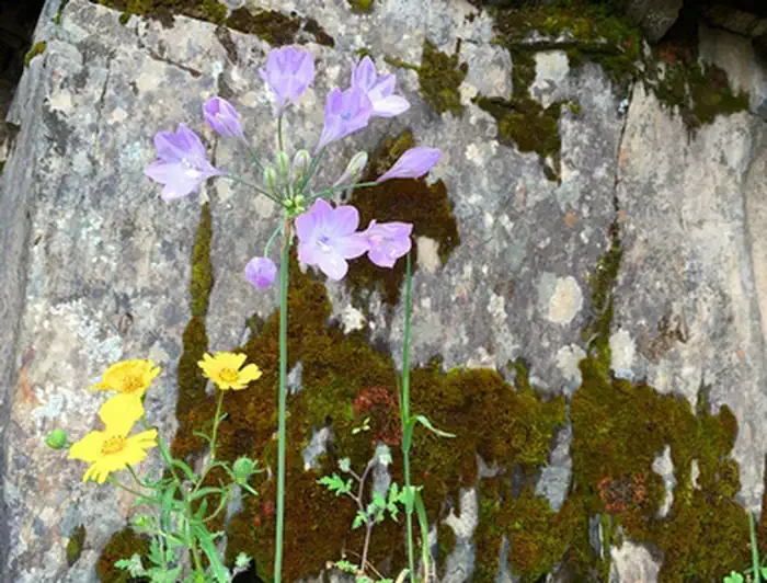
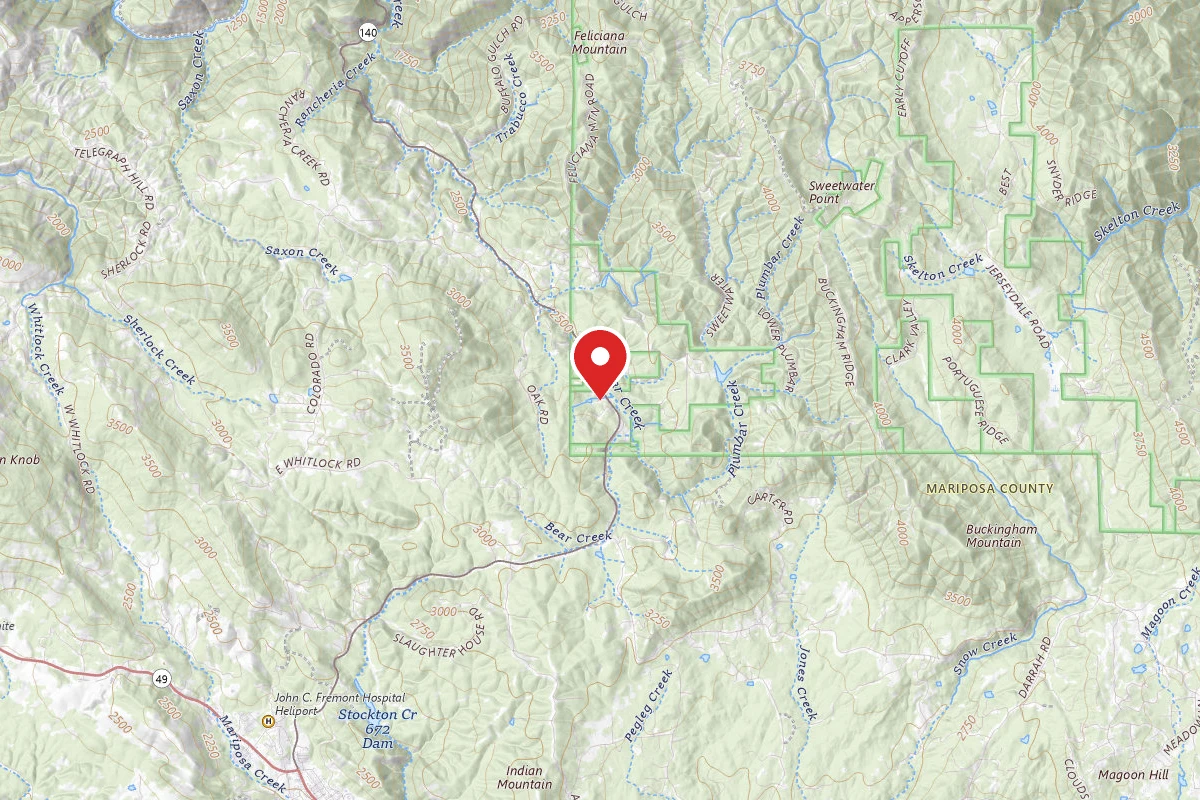
OverviewThe Merced River Recreation Management Area is a very special place just downstream from Yosemite. It is well known for excellent whitewater boating, wildflower viewing, camping, swimming, and recreational gold panning/prospecting. Bird watching is good throughout the area most of the year. Fishing is popular for trout and bass along the entire river. Biking along the gravel roads and trails is popular with families and experienced mountain bikers alike. Hiking is great anytime of the year. Easy access, un-damned flows, and excellent whitewater boating attract rafters and kayakers during the spring runoff (April through July). Commercial rafting trips are available from BLM permitted outfitters.The Merced River Trail continues downstream from the end of the Briceburg River Road and brings hikers or bikers to the North Fork of the Merced River and beyond. The Burma Grade road is another popular route to explore on foot, bike, or high-clearance automobile. This scenic backroad climbs steeply out of the Merced River Canyon and eventually leads to the towns of Greely Hill or Buck Meadows (CA-120).Campgrounds, Trailheads and Day Use Areas:There are three (3) developed BLM campgrounds along the Merced River between Briceburg and Bagby. The campgrounds are accessed by crossing the suspension bridge just past the Briceburg Visitor Center and heading down river along the unpaved Briceburg River Road (old Yosemite Valley Railroad Grade). It is NOT recommended for trailers over 18 feet or large RV's to cross over the suspension bridge.Campsites are /site excluding booking Reservations are required for most sites and same-day reservations are available. Bear-proof food storage lockers are at all campsites. Camping stay limit is 14 days within a 90-day period.McCabe Flat Campground - 2.3 miles downstream from Briceburg Visitor CenterWillow Placer Campground - 3.6 miles downstream from Briceburg Visitor CenterRailroad Flat Campground - 4.5 miles downstream from Briceburg Visitor CenterNorth Fork Primitive Camp - 2.5 miles downstream from Railroad Flat CampgroundCable Rock Day Use Site - 1.4 miles downstream from Briceburg Visitor CenterBriceburg Day Use/Put-in - CA-140 at Merced River, 12 miles east of MariposaNeed a Map?Merced River Recreation Area MapMerced Campground Site MapMerced River Existing Mining Claims MapHelpful Links:Recreation Passes: America the Beautiful — National Parks and Federal Recreational Lands PassReturn To: BLM, Mother Lode Field OfficeVisit: Briceburg Visitor Center
Reviews
No reviews yet
Be the first to share your experience and help others plan their visit.
Within ~30 miles
Trails near Merced River Recreation Management Area
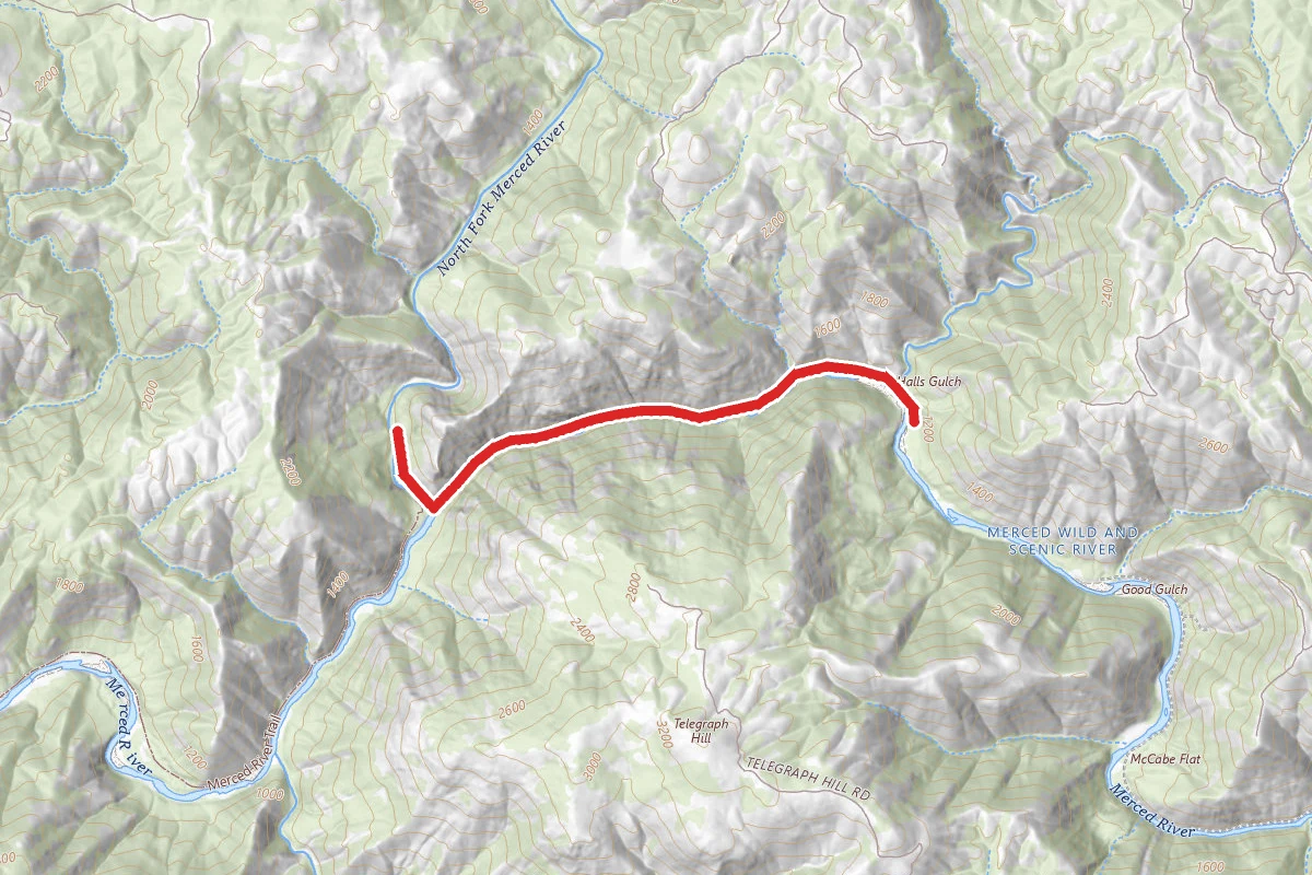
Merced River Trail
California
5.5 mi981 ftgain
TrailDifficulty: Moderate
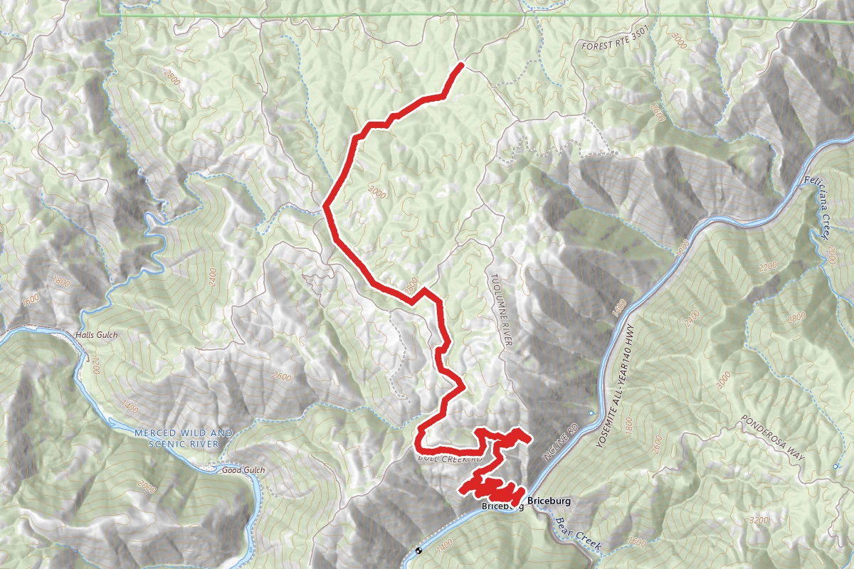
Bull Creek OHV Trail
California
13.4 mi3,419 ftgain
TrailDifficulty: Expert
Incline Road
California
5.4 mi112 ftgain
TrailDifficulty: Easy
Merced River Trail
California
1.1 mi
Trail
Merced River Trail
California
6.1 mi102 ftgain
TrailDifficulty: Easy
Jenkins Hill
California
1.8 mi
Trail
Hunt context
Hunting units around this campground
During hunting seasons, wear blaze orange and check regulations — see the California hunting page
Nearby Campgrounds

Spot an error in our data on Merced River Recreation Management Area?