State Park
Mathews Canyon Dam
Caliente, NV
Pricing varies — check with the operator
Verify with the state park system
State parks set their own rules and reservation systems. Fire bans, road closures, and operating dates change seasonally — check the state park website before traveling.
Pricing
Pricing varies — check with the operator0.0
0 Reviews
Official sources & verification
Managed by State Park
Verify by phone or mail
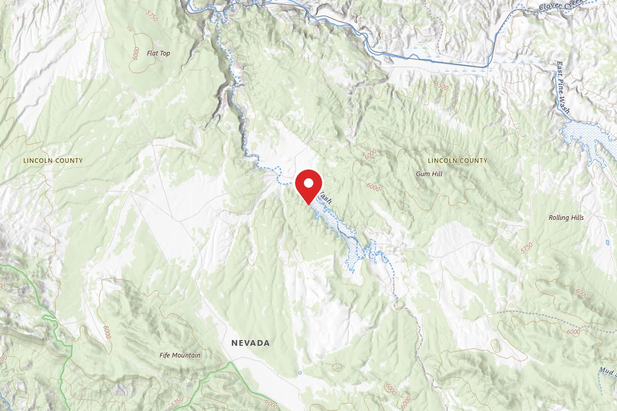
- Address:Caliente, NV
About
This site is an Army Corps of Engineers flood control dam for the railroad. The site contains two shade structures, picnic tables, grills, fire pits, garbage cans, and vault toilets.
Reviews
No reviews yet
Be the first to share your experience and help others plan their visit.
Campground Rules
- No campfires allowed
Within ~30 miles
Trails near Mathews Canyon Dam
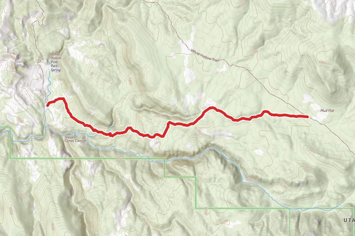
South Boundary
Utah
2.5 mi728 ftgain
TrailDifficulty: Moderate
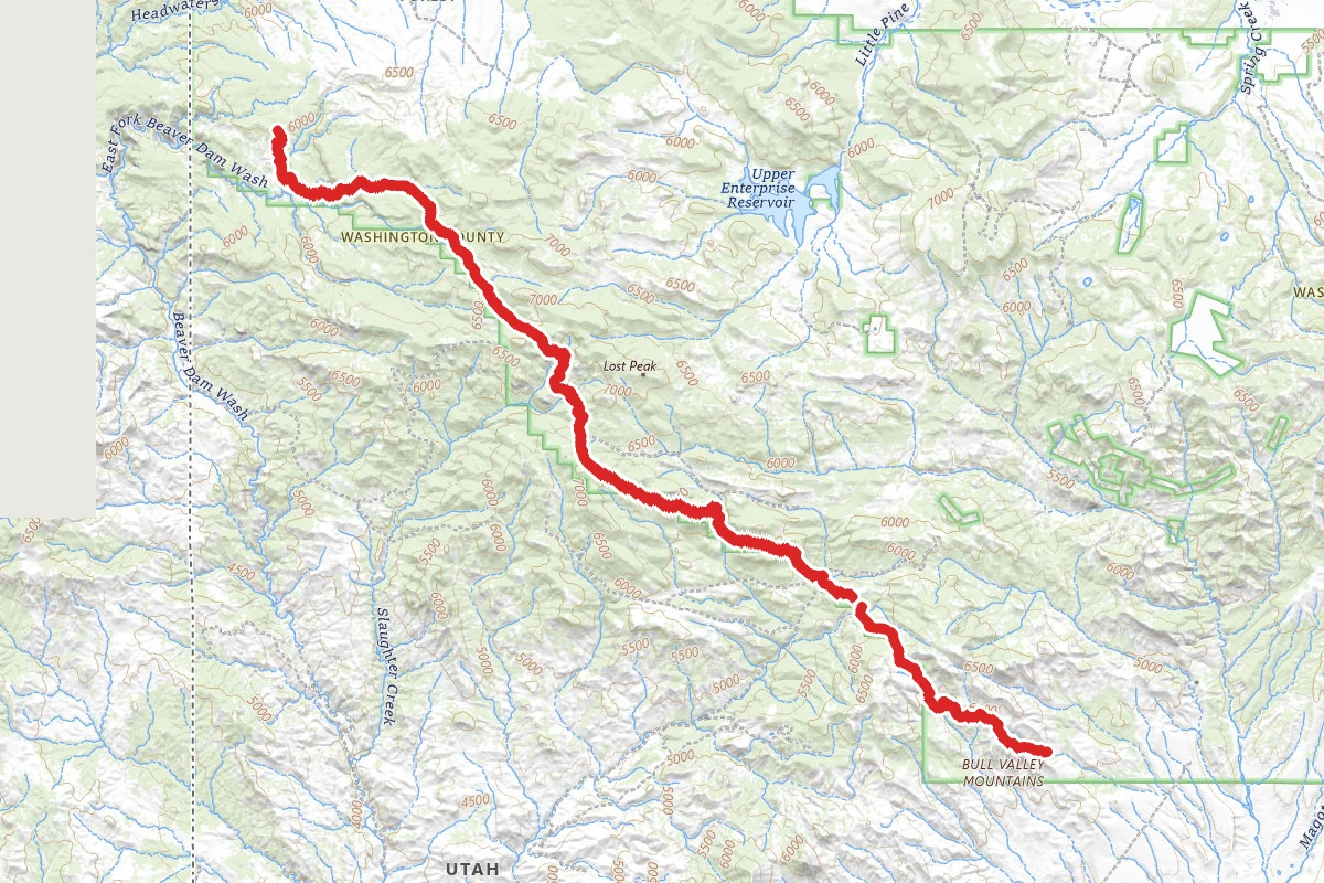
South Boundary
Utah
1.2 mi
TrailDifficulty: Moderate
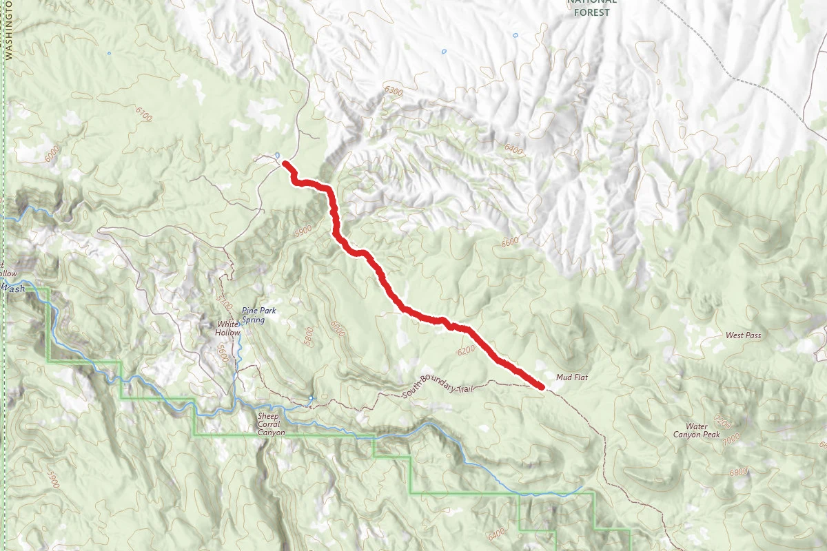
White Hollow
Utah
2.6 mi272 ftgain
TrailDifficulty: Moderate
Barnes Canyon Trailhead - Back 40
Nevada
0.2 mi
Trail
Barnes Canyon Trailhead - Parallel
Nevada
1.4 mi39 ftgain
TrailDifficulty: Easy
Barnes Canyon Trailhead - Rocky Top
Nevada
1.7 mi131 ftgain
TrailDifficulty: Easy
Hunt context
Hunting unit around this campground
During hunting seasons, wear blaze orange and check regulations — see the Nevada hunting page
Nearby Campgrounds
Spot an error in our data on Mathews Canyon Dam?