Dispersed
Lower Blackfoot River Dispersed - BLM
Bonner, MT
Pricing varies — check with the operator
Dispersed camping — confirm current rules
This is a dispersed-camping point on public land. Fire restrictions, road conditions, and access change seasonally. Verify with the managing agency before traveling.
Pricing
Pricing varies — check with the operator0.0
0 Reviews
Official sources & verification
Managed by Dispersed/Primitive
Source of truth
- Operator website
Listed website for the campground operator.
Verify by phone or mail
- Operator:1 (406) 329-3914
- Email:BLM_MT_Missoula_FO@blm.gov
- Address:Bonner, MT
About
UPDATE:
The majority of Johnsrud Road in the Lower Blackfoot River Corridor will be CLOSED for the Summer and Fall of 2022 while the route is resurfaced.
Starting May 23, 2022, Johnsrud Road will be closed from just past the turnout near Messina Drive to Whitaker Bridge. The recreation and fishing access sites along this stretch of Johnsrud Road (Darrell Sall Memorial, Daigles Eddy, Sheep Flats, and Thibodeau Rapids), and Thibodeau Campground will be unavailable during the road improvement project.
The work is expected to be complete by late October 2022.
Johnsrud Park day-use site and Whitaker Bridge boat launch/day-use site will remain OPEN. To access Whitaker Bridge, visitors will need to come from the east via Ninemile Prairie Road.
The heavily-used route runs parallel to the Blackfoot River 17 miles east of Missoula, starting at the Johnsrud Park turnoff on Highway 200. All visitors to this portion of the Blackfoot River recreation corridor should expect to see increased construction traffic during the summer months.
For up-to-date information, please visit the Federal Highways website at: https://highways.dot.gov/federal-lands/projects/mt/blm-wmdd-0427-1
You can view road closure on this map.
Overview
Twelve miles of the Lower Blackfoot River flow through public lands only 20 minutes east of Missoula. During the heat of the summer, the Lower Blackfoot River Corridor is an excellent place to cool off alongside a large portion of the Missoula population. Crowds disappear during the other nine months of the year, and the Lower Blackfoot river Corridor becomes a great place for fishing, whitewater boating, and wildlife viewing.
Facilities:
The Lower Blackfoot River Corridor has a campground, boat ramp, Restrooms, day use sites, and a non-motorized trail along an old railroad grade. Some Sites Accessible to Persons with Disabilities.
Reviews
No reviews yet
Be the first to share your experience and help others plan their visit.
Amenities
Picnic Tables
Trash Service
Cell Service
Campground Rules
- No campfires allowed
Within ~30 miles
Trails near Lower Blackfoot River Dispersed - BLM
Upper Twin Creek
Montana
0.9 mi331 ftgain
TrailDifficulty: Easy
Sheep Mountain Loop
Montana
3.6 mi1,818 ftgain
TrailDifficulty: Difficult
Mineral Peak
Montana
1.3 mi997 ftgain
TrailDifficulty: Moderate
Mineral Peak
Montana
0.3 mi187 ftgain
TrailDifficulty: Easy
East Fork Rattlesnake Creek
Montana
3.8 mi2,093 ftgain
TrailDifficulty: Difficult
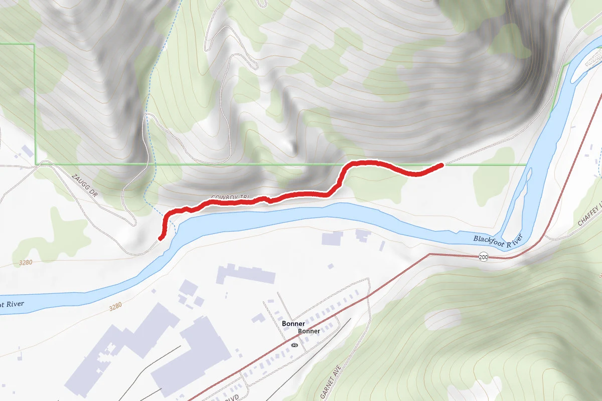
Blackfoot River Trail
Montana
0.7 mi
Trail
Hunt context
Hunting units around this campground
During hunting seasons, wear blaze orange and check regulations — see the Montana hunting page
Nearby Campgrounds
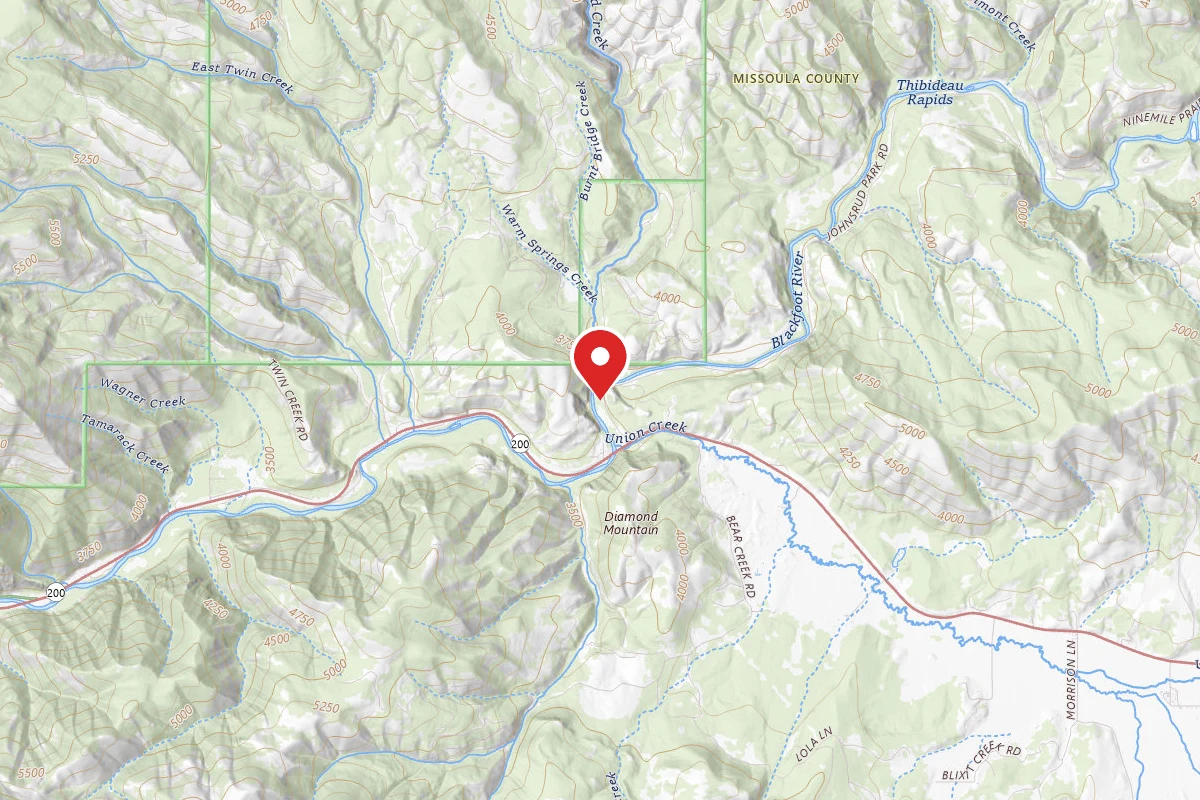
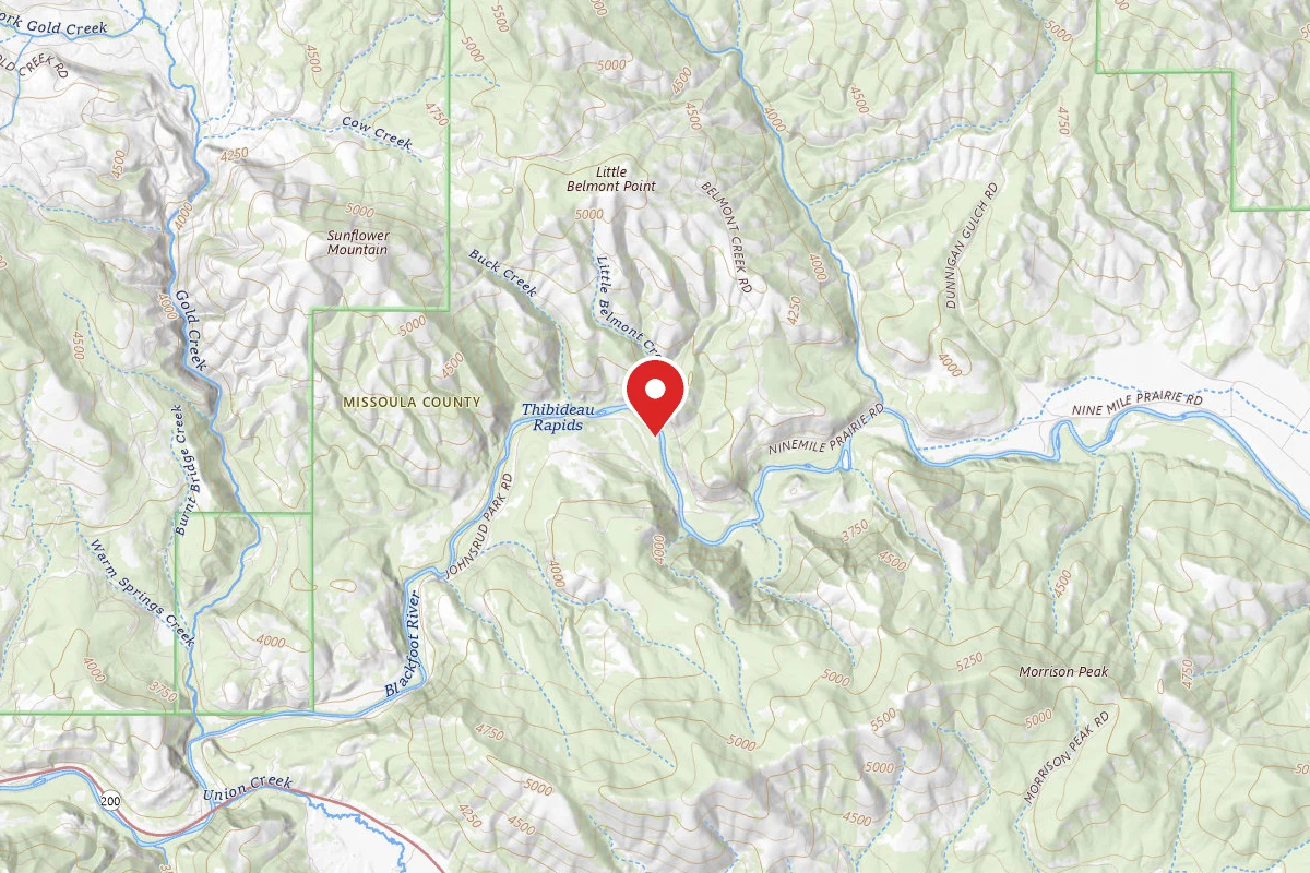
Thibodeau
Pricing varies — check with the operator
Campground State Park
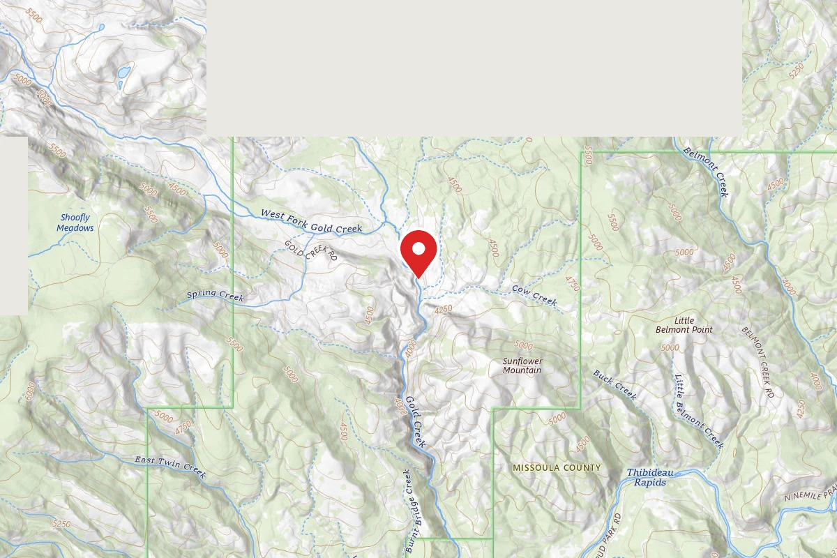
Dispersed Site near 46.9864, -113.6783
Pricing varies — check with the operator
Campground Dispersed
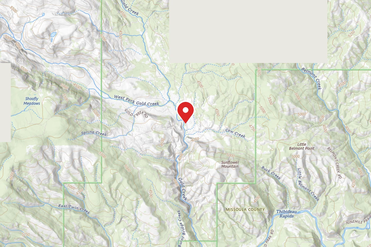
Dispersed Site near 46.9873, -113.6775
Pricing varies — check with the operator
Campground Dispersed
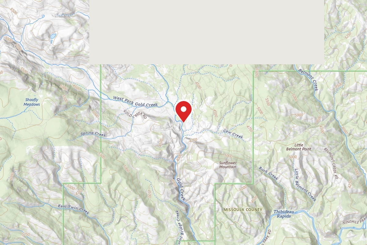
Dispersed Site near 46.9880, -113.6777
Pricing varies — check with the operator
Campground Dispersed
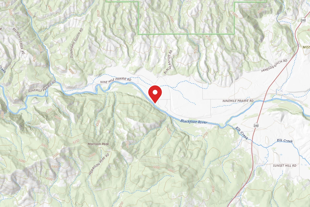
Ninemile Prairie
Pricing varies — check with the operator
Campground State Park
Spot an error in our data on Lower Blackfoot River Dispersed - BLM?