State Park
Little Greys River Trailhead
Bridger-Teton National Forest · Alpine, WY
Verify with the state park system
State parks set their own rules and reservation systems. Fire bans, road closures, and operating dates change seasonally — check the state park website before traveling.
Pricing
Check official pricing0.0
0 Reviews
Official sources & verification
Managed by State Park
Source of truth
- Agency source page
The page our published rules and notes are derived from.
Verify by phone or mail
- Address:Alpine, WY
About
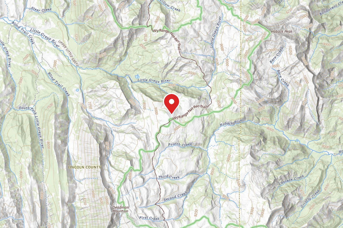
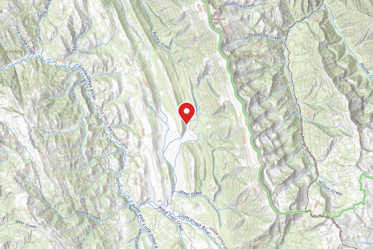
It begins at the end of Little Greys River Road and leads to the Wyoming Range National Recreation Trail. People can go to the Deadman Peak Fire Lookout.
Reviews
No reviews yet
Be the first to share your experience and help others plan their visit.
Campground Rules
- No campfires allowed
Within ~30 miles
Trails near Little Greys River Trailhead
Little Greys River
Wyoming
4.4 mi1,493 ftgain
TrailDifficulty: Difficult
Pickle Pass
Wyoming
1.8 mi1,319 ftgain
TrailDifficulty: Moderate
Wyoming Range National Recreat
Wyoming
17.2 mi843 ftgain
TrailDifficulty: Expert
Bull Hollow Snowmobile Trail
Wyoming
3.4 mi387 ftgain
TrailDifficulty: Moderate
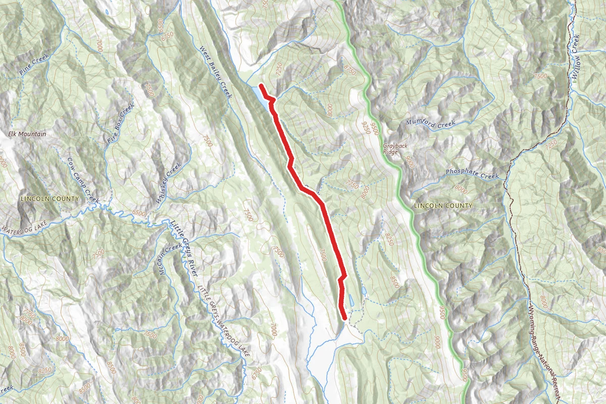
Bailey Lake Trail
Wyoming
9.0 mi1,532 ftgain
TrailDifficulty: Difficult
Bailey Creek
Wyoming
8.1 mi302 ftgain
TrailDifficulty: Moderate
Hunt context
Hunting unit around this campground
During hunting seasons, wear blaze orange and check regulations — see the Wyoming hunting page
Nearby Campgrounds
Spot an error in our data on Little Greys River Trailhead?