State Park
Laurel River Lake
Corbin, KY
Pricing varies — check with the operator
Verify with the state park system
State parks set their own rules and reservation systems. Fire bans, road closures, and operating dates change seasonally — check the state park website before traveling.
Pricing
Pricing varies — check with the operator0.0
0 Reviews
Official sources & verification
Managed by State Park
Verify by phone or mail
- Address:Corbin, KY
About
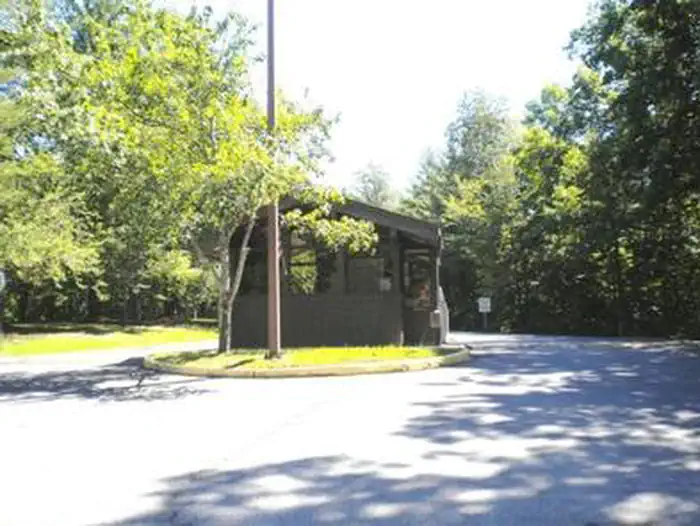
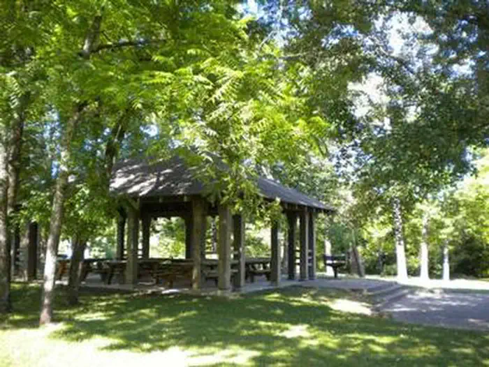
Laurel River Lake is located on London Ranger District and features 5,600 acres of clear, deep water and nearly 200 miles of tree-lined shore. The quiet coves and cliff-lined shores offer relaxation and quiet reflection, as well as boating, fishing, skiing and scuba diving in one of the deepest and cleanest lakes in Kentucky. Fishing for black bass, rainbow trout, walleye, crappie, blue gill and catfish is excellent. Night fishing for trout is also popular during the summer months. The U.S. Forest Service administers the lake and surrounding shoreline. The U.S. Army Corps of Engineers oversees the operation of the lake's dam and nearby recreation facilities, including a picnic area and a swimming beach at the spillway. Make this page look nicer by submitting photos of your visit to Laurel River Lake. Learn more... Campgrounds nearby: Drive-in Campgrounds - Holly Bay and Grove Boat-in Campgrounds - Grove and White Oak Group Campground: Craigs Creek Group Campground Boat Ramps nearby: Craigs Creek Boat Ramp Flatwoods Boat Ramp Grove Boat Ramp Hightop Boat Ramp Holly Bay Boat Ramp Laurel Bridge Boat Ramp Marsh Branch Boat Ramp Marinas: Grove Marina Holly Bay Marina
Reviews
No reviews yet
Be the first to share your experience and help others plan their visit.
Pet Policy
No pets allowed
Campground Rules
- No campfires allowed
Within ~30 miles
Trails near Laurel River Lake
Trail
Laurel River Lake Trail
Kentucky
2.9 mi755 ftgain
Moderate
Trail
Holly Bay Campground via Sheltowee Trace
Kentucky
6.5 mi1,339 ftgain
Moderate
Trail
Cane Creek Trail
Kentucky
5.1 mi896 ftgain
Moderate
Trail
Bark Camp Trail
Kentucky
4.7 mi597 ftgain
Moderate
Trail
Scuttlehole Overlook via 404A Trail
Kentucky
1.5 mi492 ftgain
Easy
Trail
Winding Stair Gap Trail
Kentucky
5.7 mi1,122 ftgain
Moderate
Nearby Campgrounds


Spot an error in our data on Laurel River Lake?