BLM
Knoxville Management Area
Verify with the local BLM field office
BLM site amenities, road access, and fire restrictions are managed by the local field office. Conditions change with weather and season — confirm before traveling.
Pricing
Check official pricing0.0
0 Reviews
Official sources & verification
Managed by Bureau of Land Management
Source of truth
- Agency source page
The page our published rules and notes are derived from.
Managing agency
- Berryessa Snow Mountain National Monument — official page
Park unit page with alerts and visitor information.
Verify by phone or mail
- Operator:(707) 468-4000
- Email:BLM_CA__Web_UK@blm.gov
About
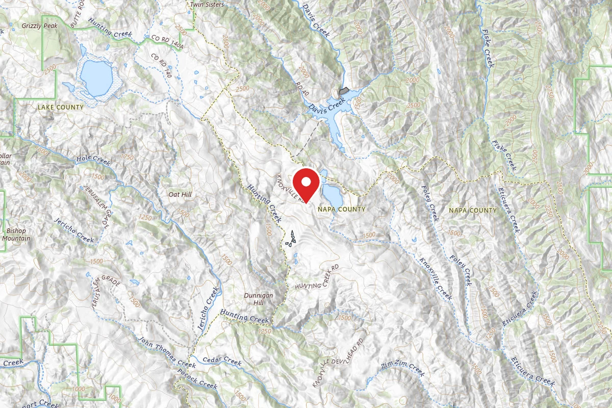
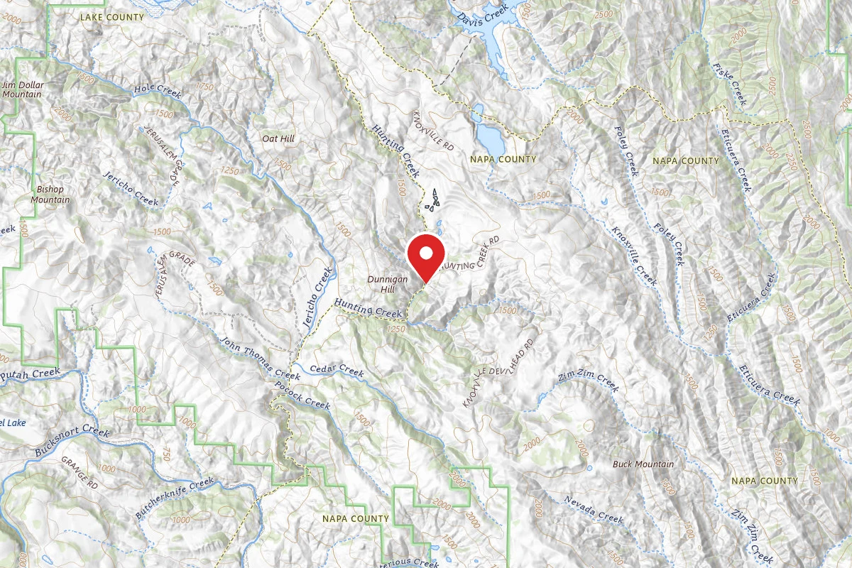
Note: Click here to view our California State Parks OHV grant preliminary applications. The public comment period will be open from March 4, 2025 to May 5, 2025. Instructions on how to provide public comments can be found here..Due to its close proximity to the Sacramento and San Francisco Bay Area regions, and because of its varied terrain, Knoxville's 17,700 acres attract many off-highway vehicle (OHV) enthusiasts each year. The landscape is characterized by steep and rolling hills with the vegetation varying from scattered hardwoods and grasses to dense chaparral brush. California gray pine and Macnab cypress are also dispersed throughout the area. Of particular note, are unusual plant communities unique to the area's serpentine barrens, which are closed to vehicles to protect the delicate vegetation.Other popular activities in the area include hunting, mountain bicycling, camping, and nature study. There is one developed campground, and an OHV staging area. Target shooting is not allowed at the Knoxville Recreation Area.Knoxville Recreation Area is part of the Berryessa Snow Mountain Monument administered by BLM's Ukiah Field Office. CampingLower Hunting Creek is located at the intersection of Dunnigan Hill Road and Hunting Creek Road at Hunting Creek, this developed campground has 5 sites with shade structures, vault toilet, trash cans, and 3 overflow campsites. There is no potable water at the site (bring your own drinking water). There are no fees and no reservations. Campsite availability is on a first-come, first-serve basis.Cedar Creek, Cement Creek, and Pocock Creek are primitive camps with no facilities.Firewood Gathering: Cutting or removing standing vegetation (live or dead), is strictly prohibited. Use only wood that is both dead AND down for firewood. Off-Highway VehiclesNorth OHV Staging Area: From north entrance take Dunnigan Hill Road approximately 3/4 mile to Round Mountain Road. Proceed west on Round Mountain Road approximately 1/4 mile to the staging area. Site has parking and vault toilet. All vehicles must be street licensed or have a current off-highway vehicle registration (green or red sticker)All vehicles must be equipped with a properly installed muffler and a U.S. Forest Service approved spark arrester.All-Terrain Vehicle (ATV) operators must wear a D.O.T. approved safety helmet. No operator of an all-terrain vehicle may carry a passenger when operating on public lands. However, the operator of an all-terrain vehicle, that is designed for operation off of the highway by an operator with no more than one passenger, may carry a passenger when operating on public lands. (CVC 38506).Please respect our neighbors and stay out of private land.All roads and trails in the area have two-way traffic. Be alert and always stay to the right-hand side.Please stay on designated trails. Avoid cutting switchbacks or driving through stream bottoms and wet meadows. Devilheads Road is a county road, therefore only street licensed vehicles are permitted.This area is open to hunting year round. Be extremely cautious when riding during peak hunting seasons.
Reviews
No reviews yet
Be the first to share your experience and help others plan their visit.
Within ~30 miles
Trails near Knoxville Management Area
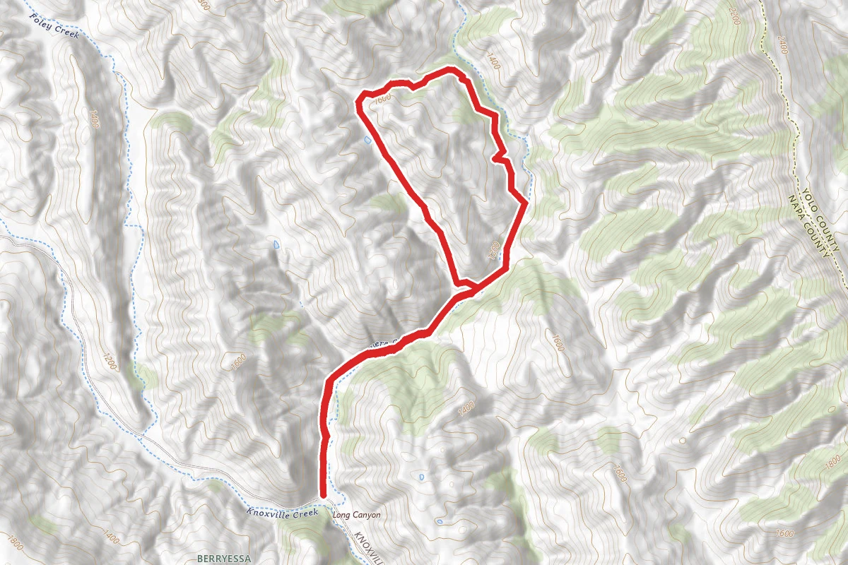
Long Canyon Loop Trail
California
4.0 mi758 ftgain
TrailDifficulty: Moderate
Zim Zim Ridge Cutoff
California
2.0 mi925 ftgain
TrailDifficulty: Moderate
Blue Ridge Trail North (low use)
California
4.0 mi705 ftgain
TrailDifficulty: Moderate
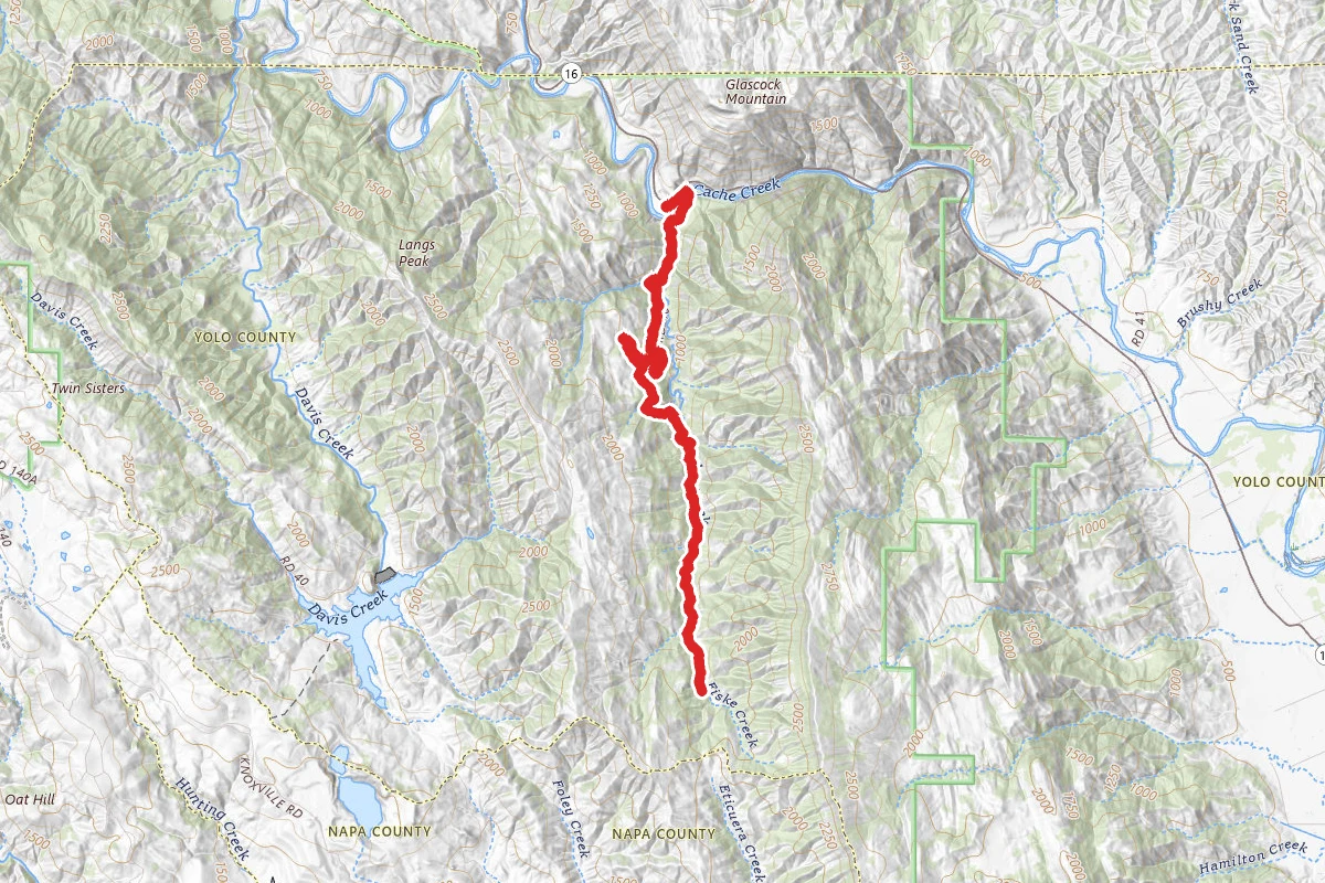
Fiske Creek Trail
California
13.2 mi3,294 ftgain
TrailDifficulty: Expert
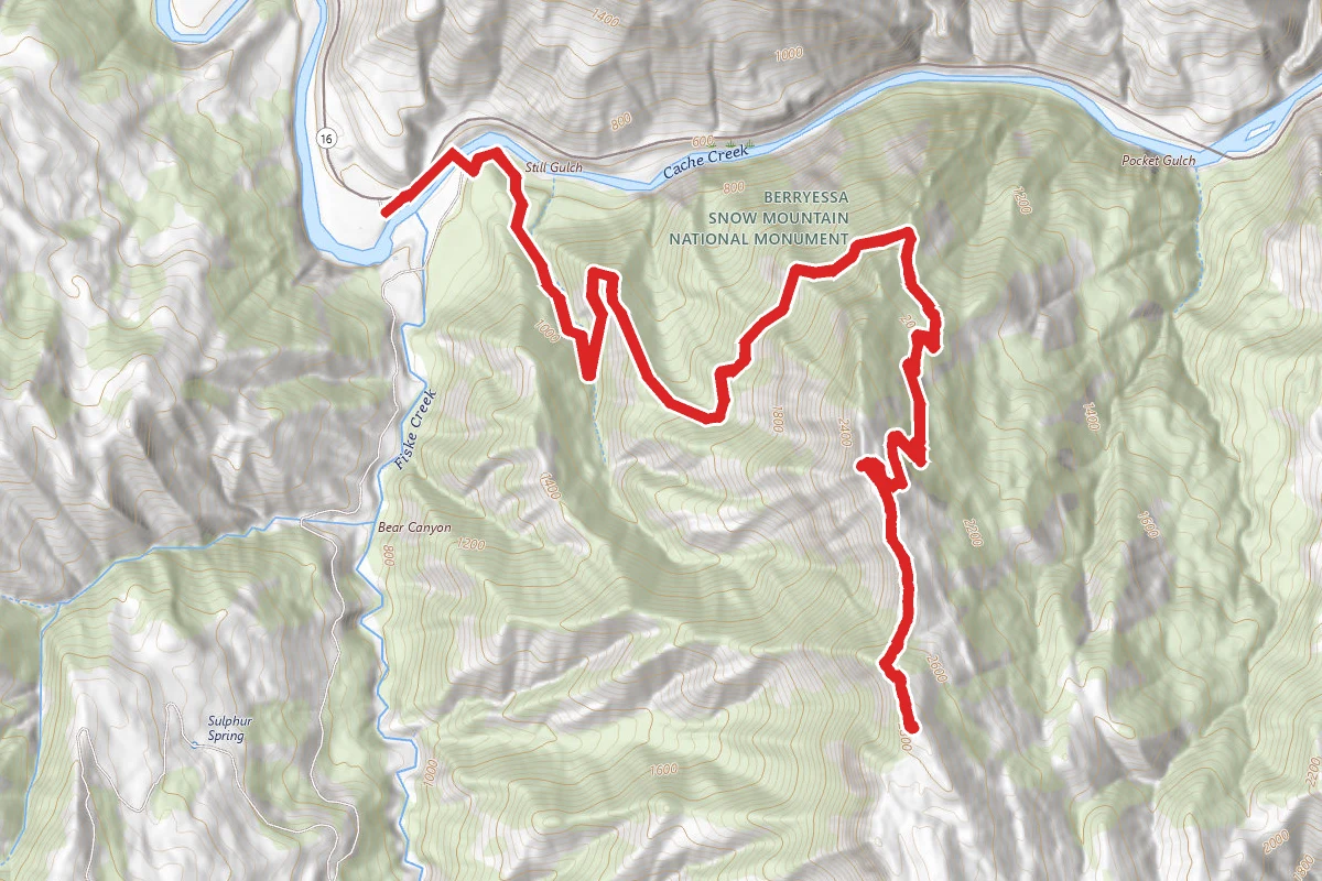
Fiske Peak via Blue Ridge Trail
California
7.5 mi2,966 ftgain
TrailDifficulty: Difficult
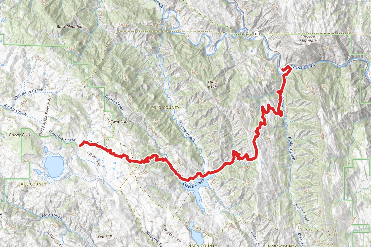
Rayhouse Road Trail (Low Water Bridge Trail)
California
13.0 mi4,255 ftgain
TrailDifficulty: Expert
Hunt context
Hunting unit around this campground
During hunting seasons, wear blaze orange and check regulations — see the California hunting page
Nearby Campgrounds
Spot an error in our data on Knoxville Management Area?