BLM
Jarbidge River Launch Site
ID
Verify with the local BLM field office
BLM site amenities, road access, and fire restrictions are managed by the local field office. Conditions change with weather and season — confirm before traveling.
Pricing
Check official pricing0.0
0 Reviews
Official sources & verification
Managed by Bureau of Land Management
Source of truth
- Agency source page
The page our published rules and notes are derived from.
Verify by phone or mail
- Operator:(208) 735-2060
- Email:BLM_ID_JarbidgeOffice@blm.gov
About
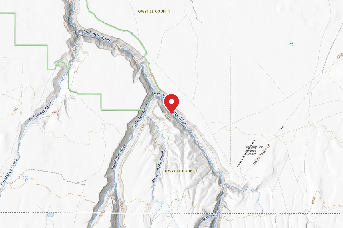
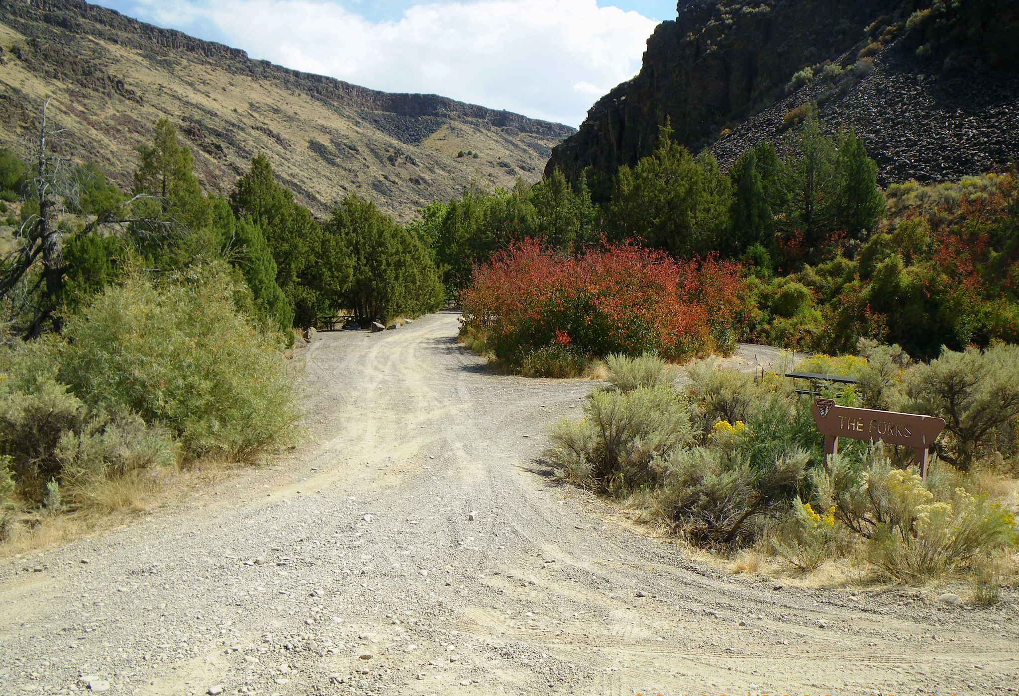
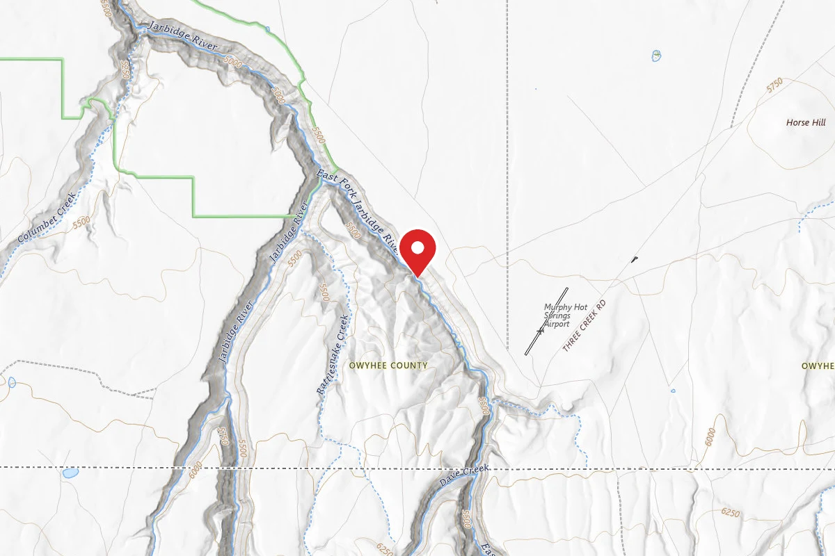
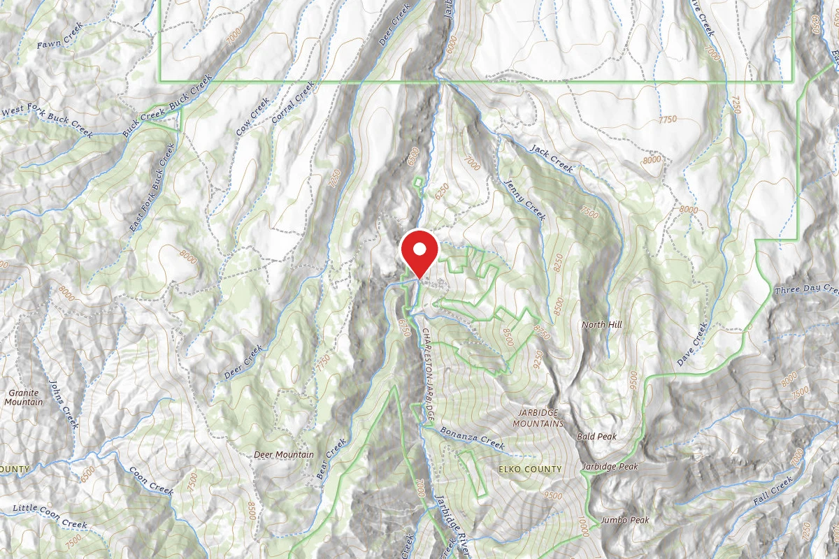
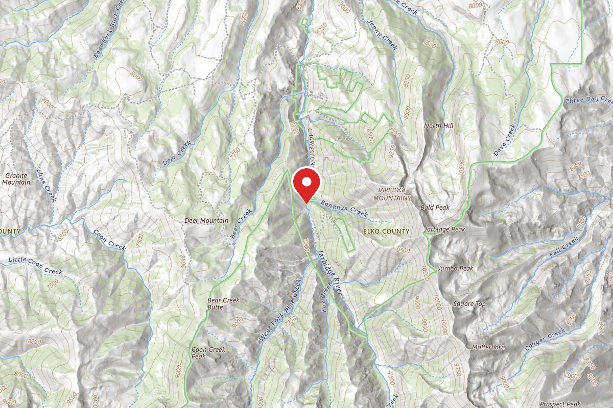
The Jarbidge Wild and Scenic River has a short boating season, typically it only has enough water to float in the spring. The river has challenging whitewater and sections that most boaters portage. Two-wheel drive vehicles are sufficient to reach the put-in, located at the confluence of the West Fork and East Fork of the Jarbidge River about two miles north of Murphy Hot Springs.
Reviews
No reviews yet
Be the first to share your experience and help others plan their visit.
Within ~30 miles
Trails near Jarbidge River Launch Site
National Forest Development Road 288 Trail
Nevada
3.1 mi7 ftgain
TrailDifficulty: Easy
Robinson Hole - Three Day Creek Trail
Nevada
3.0 mi1,437 ftgain
TrailDifficulty: Moderate
East Fork Jarbidge River
Nevada
1.1 mi75 ftgain
TrailDifficulty: Easy
Robinson Hole Cutoff
Nevada
0.9 mi696 ftgain
TrailDifficulty: Easy
Robinson Hole to 3 Day Creek
Nevada
5.8 mi1,841 ftgain
TrailDifficulty: Difficult
National Forest Development Road 289 Trail
Nevada
1.6 mi82 ftgain
TrailDifficulty: Easy
Hunt context
Hunting units around this campground
During hunting seasons, wear blaze orange and check regulations — see the Idaho hunting page
Nearby Campgrounds
Spot an error in our data on Jarbidge River Launch Site?