No photos yet
Ferris Mountains
WY
Verify with the local BLM field office
BLM site amenities, road access, and fire restrictions are managed by the local field office. Conditions change with weather and season — confirm before traveling.
Pricing
Check official pricing0.0
0 Reviews
Official sources & verification
Managed by Bureau of Land Management
Source of truth
- Agency source page
The page our published rules and notes are derived from.
Verify by phone or mail
- Operator:(307) 328-4200
- Email:rawlins_wymail@blm.gov
- Address:WY
About
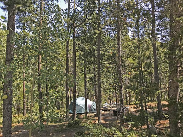
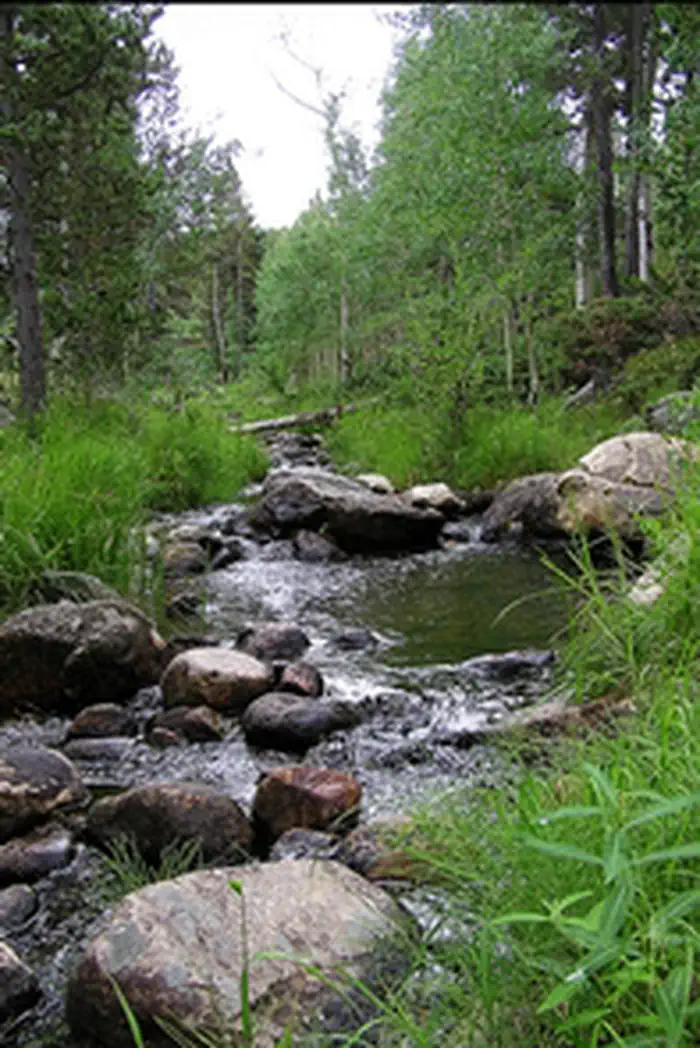
The Ferris Mountains WSA encompasses 22,245 acres of BLM-administered land and one private inholding of 160 acres. The study area is steep and rugged, providing unusual and spectacular scenery. Ferris Peak is the highest point in the Great Divide Basin at 10,037 feet and rises some 3,000 feet from the valley floor. Large stands of Douglas fir, interspersed with grassy parks create an alpine setting.
The Ferris Mountains WSA, in combination with its relatively large size, diversity and ruggedness, contains outstanding opportunities for a primitive and unconfined type of recreation. The WSA?s ridges, canyons, valleys and meadows offer outstanding opportunities for hiking, hunting, camping and backpacking, A climb to Ferris Peak offers an exceptional hiking experience, where visitors must pick their own routes because there are no trails to the top. Hunting within the WSA is considered exceptional and the scenic values are unique to the region.
Reviews
No reviews yet
Be the first to share your experience and help others plan their visit.
Campground Rules
- Campfires generally permitted — verify current fire restrictions before lighting
Within ~30 miles
Trails near Ferris Mountains
Hunt context
Hunting units around this campground
During hunting seasons, wear blaze orange and check regulations — see the Wyoming hunting page
Nearby Campgrounds
Spot an error in our data on Ferris Mountains?