Dispersed
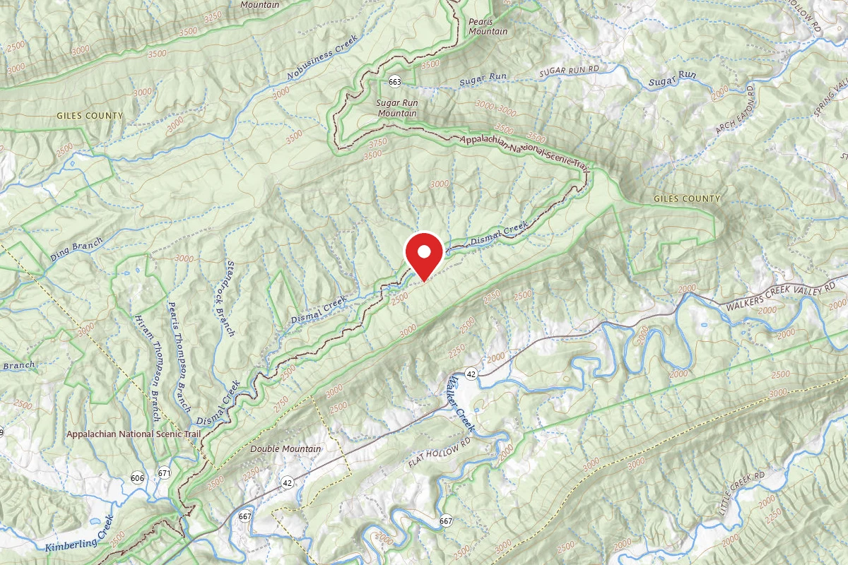
Dispersed Site near 37.2100, -80.8729
VA
Dispersed camping — confirm current rules
This is a dispersed-camping point on public land. Fire restrictions, road conditions, and access change seasonally. Verify with the managing agency before traveling.
Pricing
Check official pricing0.0
0 Reviews
Official sources & verification
Managed by Dispersed/Primitive
Source of truth
- Agency source page
The page our published rules and notes are derived from.
Reviews
No reviews yet
Be the first to share your experience and help others plan their visit.
Campground Rules
- Campfire rules vary by season + location — verify current fire restrictions with the managing agency before lighting
Within ~30 miles
Trails near Dispersed Site near 37.2100, -80.8729
Hoof & Hill
Virginia
2.0 mi430 ftgain
TrailDifficulty: Easy
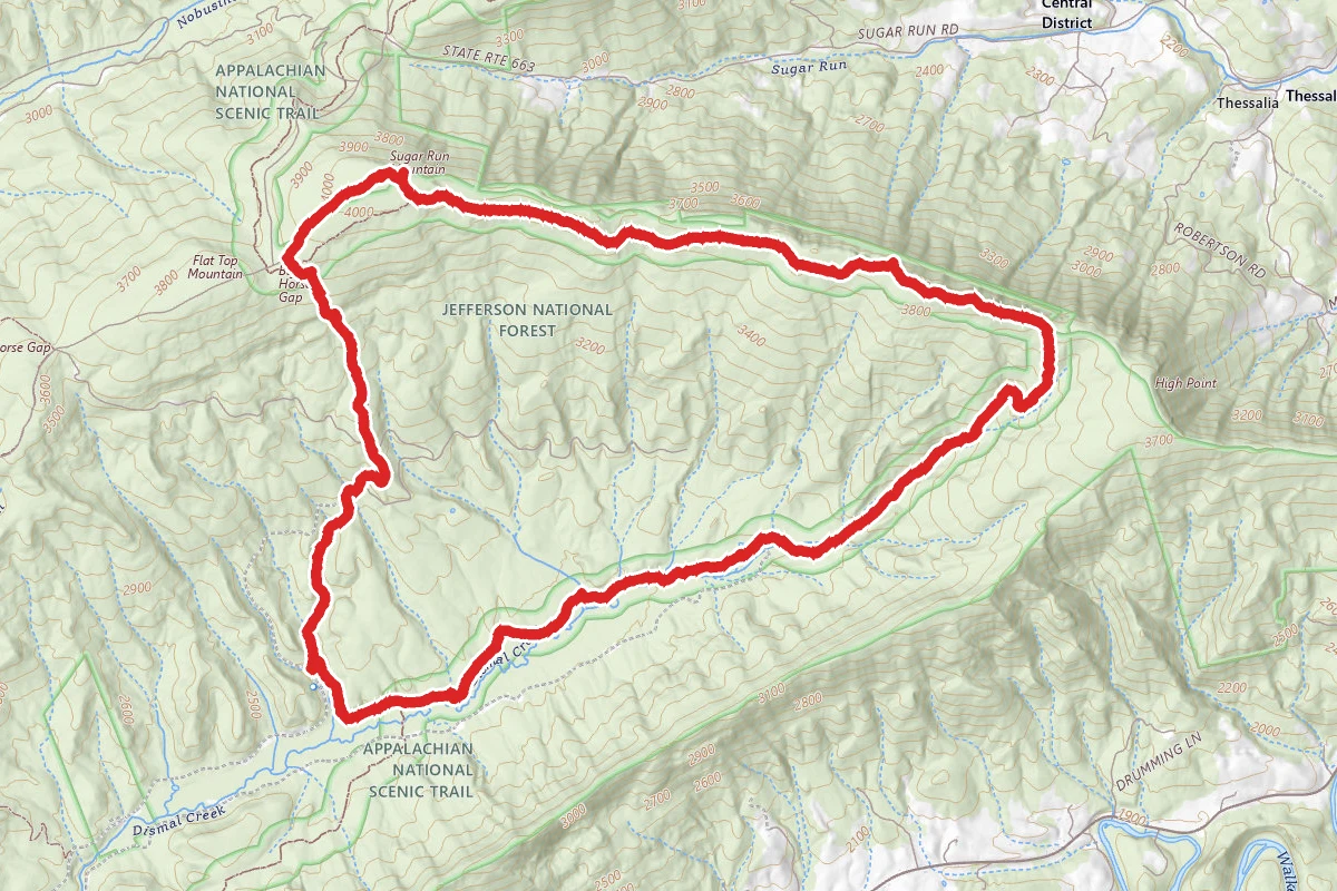
Dismal Creek and Sugar Run Mountain via Appalachian Trail and Ribble Trail
Virginia
10.8 mi2,461 ftgain
TrailDifficulty: Difficult
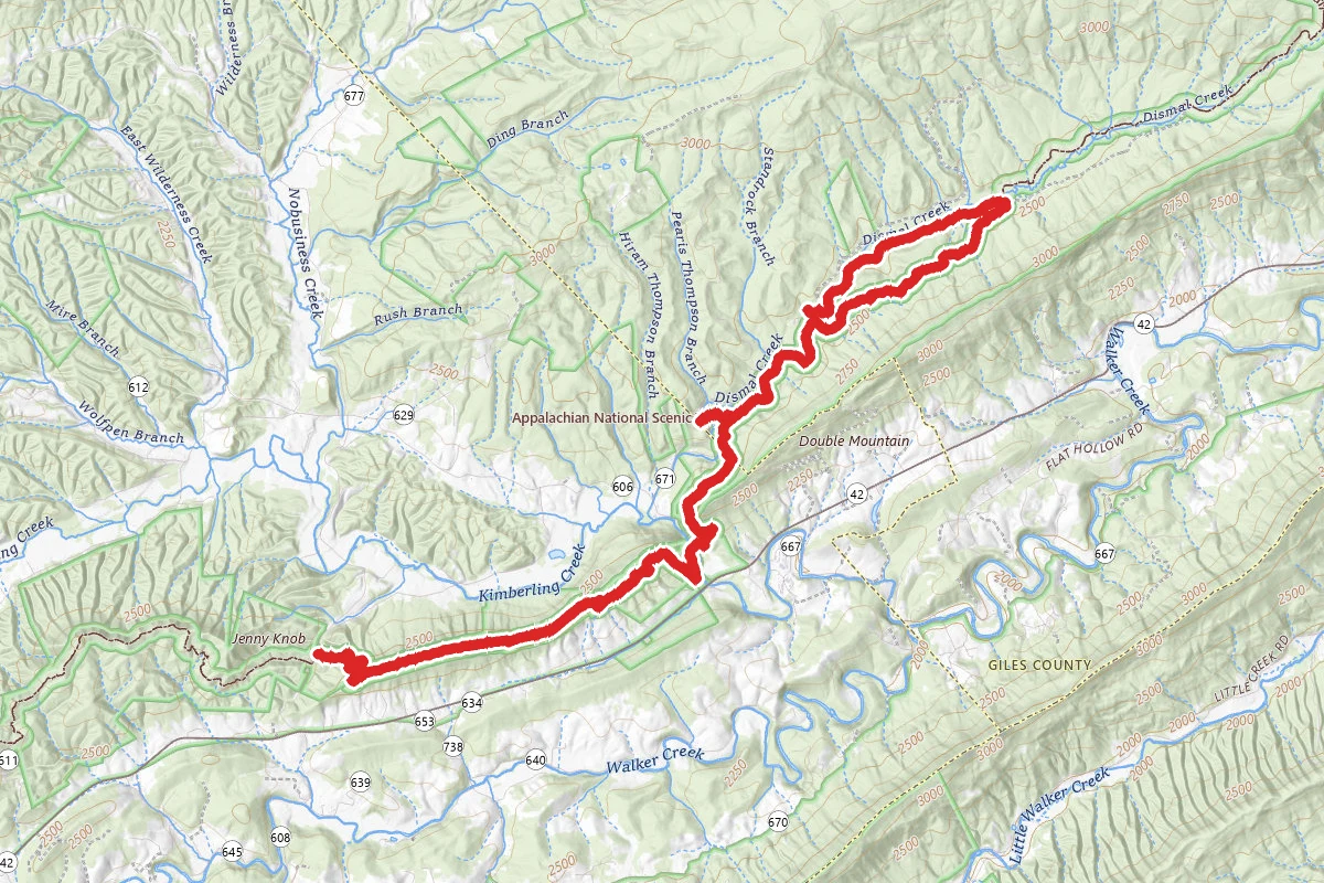
Lions Den Road to Dismal Falls and Price Ridge Road via Appalachian Trail
Virginia
13.1 mi2,723 ftgain
TrailDifficulty: Expert
Appalachian Trail
Virginia
18.2 mi2,969 ftgain
TrailDifficulty: Expert
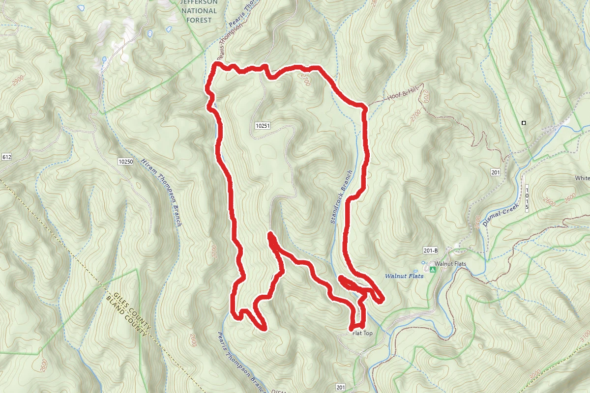
Pearis Thompson and Stand Rock Branch Trail Loop
Virginia
5.4 mi948 ftgain
TrailDifficulty: Moderate
Pearis Thompson
Virginia
3.8 mi210 ftgain
TrailDifficulty: Easy
Nearby Campgrounds
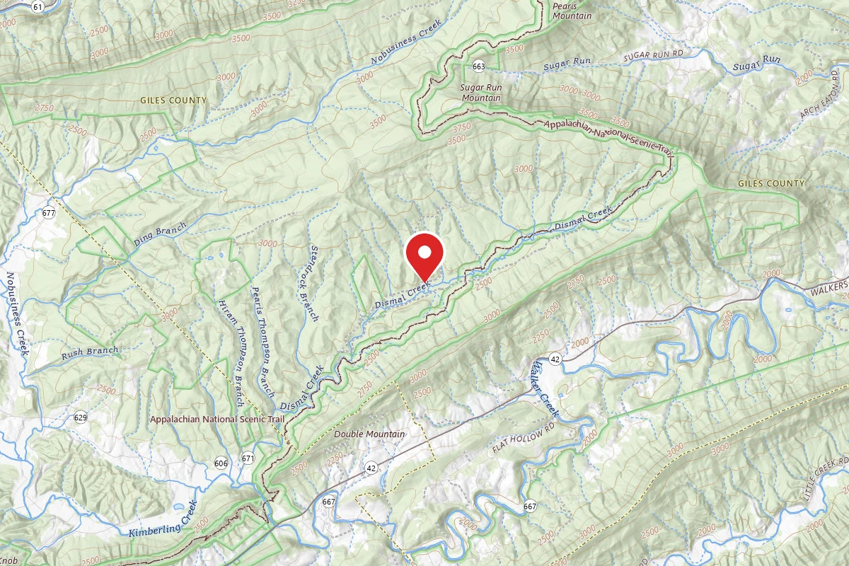
Dispersed Site near 37.2127, -80.8642
Pricing varies — check with the operator
Campground Dispersed
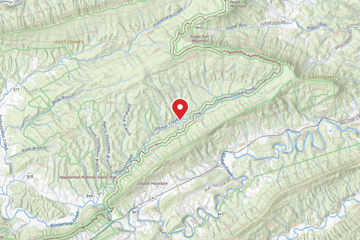
Dispersed Site near 37.2124, -80.8618
Pricing varies — check with the operator
Campground Dispersed
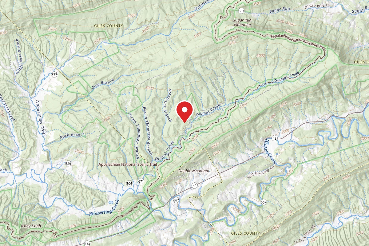
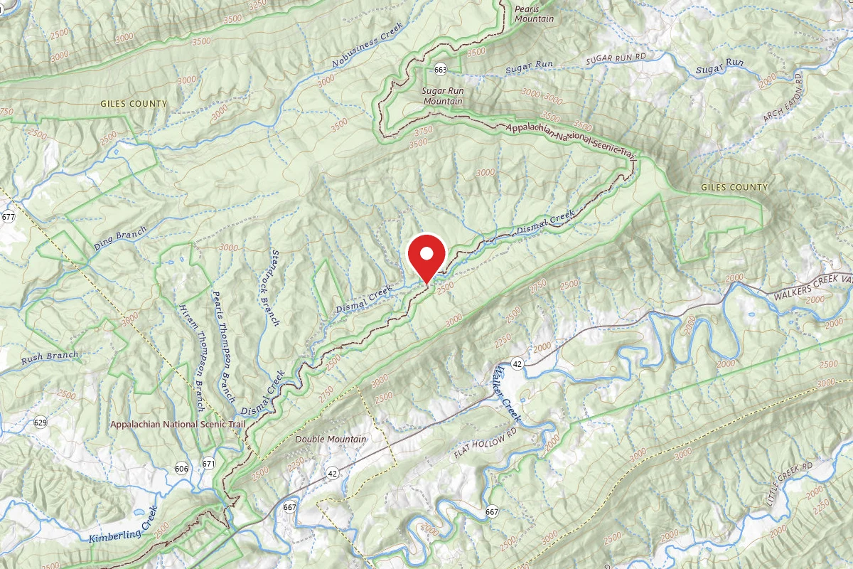
Dispersed Site near 37.2132, -80.8545
Pricing varies — check with the operator
Campground Dispersed
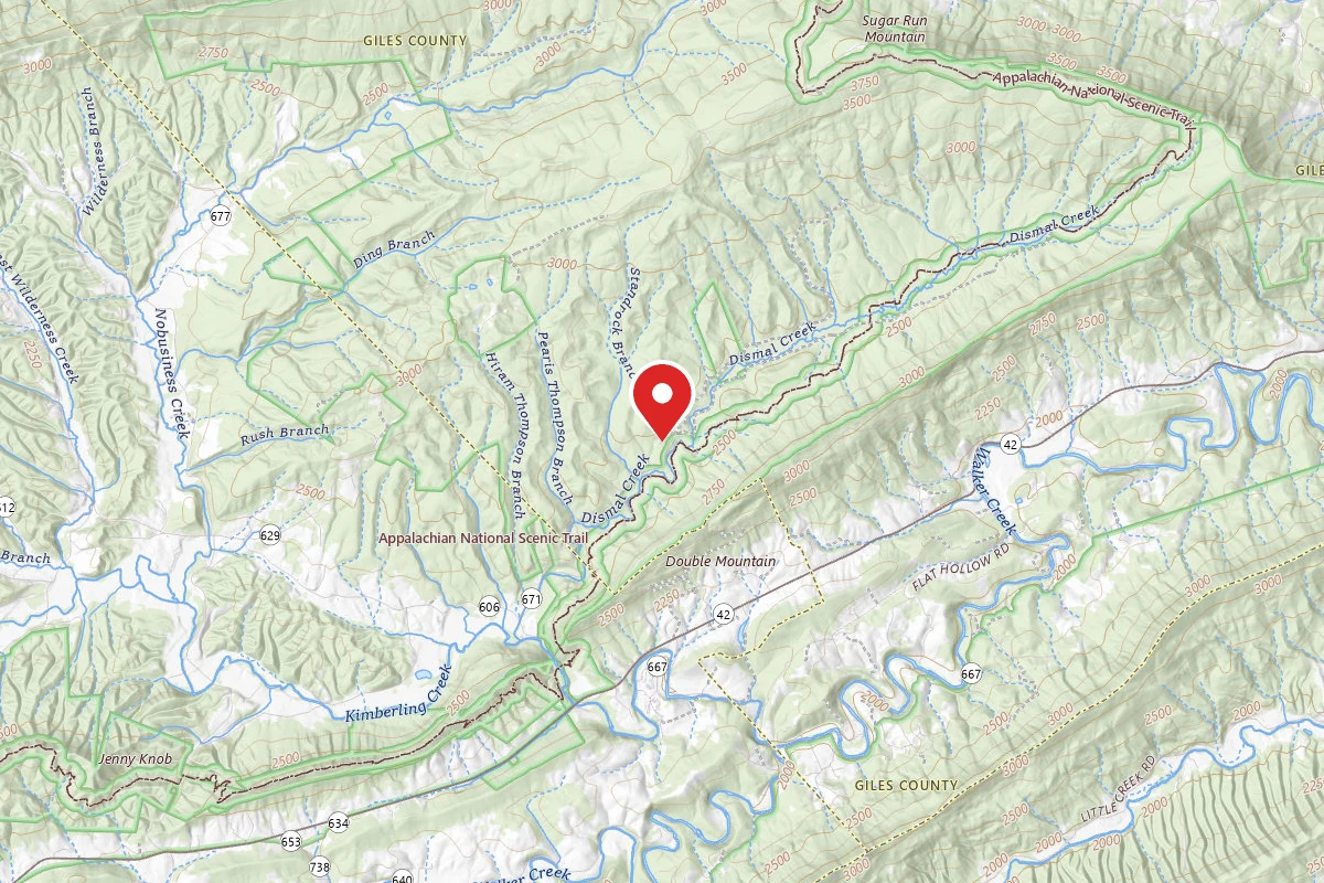
Dispersed Site near 37.2158, -80.8439
Pricing varies — check with the operator
Campground Dispersed
Spot an error in our data on Dispersed Site near 37.2100, -80.8729?