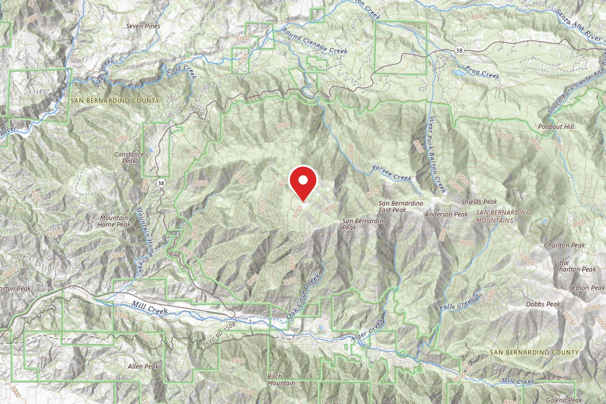
Dispersed Site near 34.1282, -116.8887
Dispersed camping — confirm current rules
This is a dispersed-camping point on public land. Fire restrictions, road conditions, and access change seasonally. Verify with the managing agency before traveling.
Pricing
Check official pricing0.0
0 Reviews
Official sources & verification
Managed by Dispersed/Primitive
Source of truth
- Agency source page
The page our published rules and notes are derived from.
Managing agency
- Sand to Snow National Monument — official page
Park unit page with alerts and visitor information.
Reviews
No reviews yet
Be the first to share your experience and help others plan their visit.
Campground Rules
- Campfire rules vary by season + location — verify current fire restrictions with the managing agency before lighting
Within ~30 miles
Trails near Dispersed Site near 34.1282, -116.8887
Anderson Spur
California
Forsee Creek Trail
California
San Bernardino Peak Trail
California
Jack Straw Spur
California
San Bernardino Peak Trail
California
Falls Creek
California
Hunt context
Hunting units around this campground
During hunting seasons, wear blaze orange and check regulations — see the California hunting page
Nearby Campgrounds
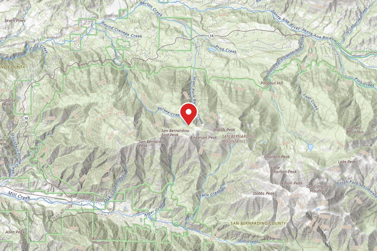
Dispersed Site near 34.1300, -116.8945
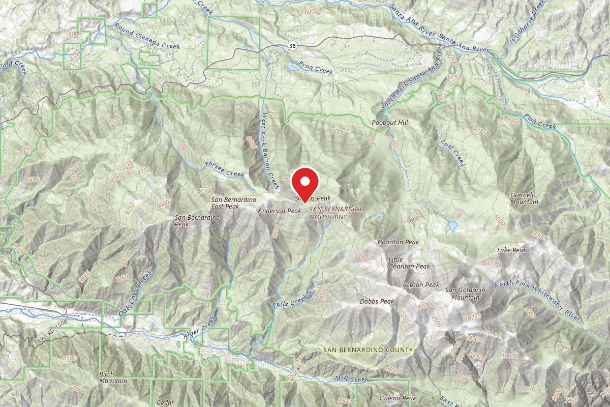
Dispersed Site near 34.1265, -116.8777
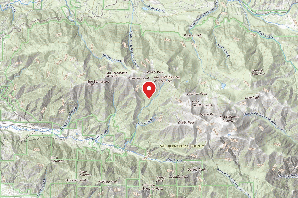
Dispersed Site near 34.1127, -116.8792
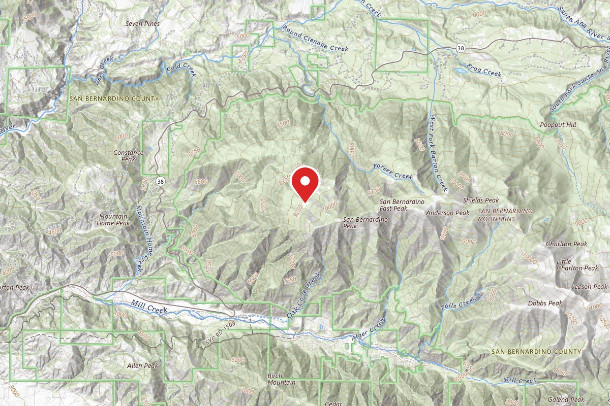
Dispersed Site near 34.1273, -116.9346
Limber Pine Campground
Limber Pine Campground - TEMPORARILY CLOSED