State Park
Cowlitz Valley area
Randle, WA
Pricing varies — check with the operator
Verify with the state park system
State parks set their own rules and reservation systems. Fire bans, road closures, and operating dates change seasonally — check the state park website before traveling.
Pricing
Pricing varies — check with the operator0.0
0 Reviews
Official sources & verification
Managed by State Park
Verify by phone or mail
- Address:Randle, WA
About
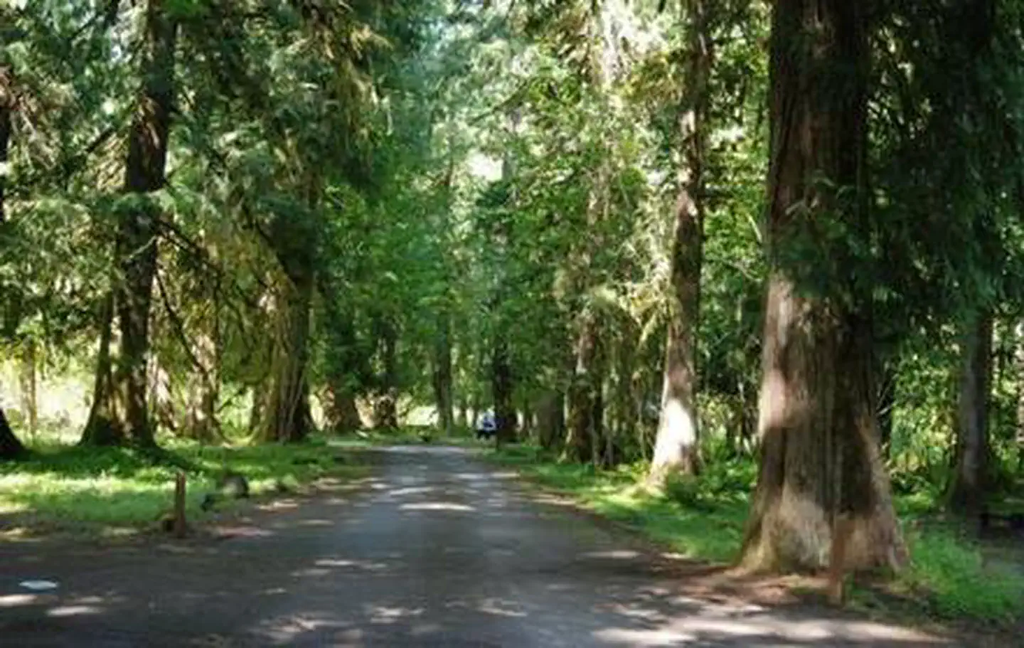
The Cowlitz Valley area is administered by the Cowlitz Valley Ranger District. This area is located in the Northern most portion of the Gifford Pinchot National Forest in southwest Washington, and comprises about 575,000 acres of the Gifford Pinchot National Forest. The Cowlitz Valley area is roughly located among three volcanic peaks: Mt. Rainier to the north, Mt. Adams to the east, and Mt. St. Helens to the west. A line connecting Mt. Adams and Mt. St. Helens following the Boundary Trail 1 makes up the southern boundary. On clear days this trail affords spectacular views. Nearby towns include Packwood, Glenoma, Morton and Ashford. The area has numerous campgrounds and over 500 miles of trails for a wide variety of users. Cowlitz Valley Ranger District manages four Wilderness areas including the Goat Rocks Wilderness, Glacier View Wilderness, Tatoosh Wilderness and William O Douglass Wilderness. Major River Drainages include the Cowlitz River, Clear Fork of the Cowlitz, and the Cispus River. Nearby attractions include Mt. Rainier National Park and Mount St. Helens National Monument.
Reviews
No reviews yet
Be the first to share your experience and help others plan their visit.
Pet Policy
No pets allowed
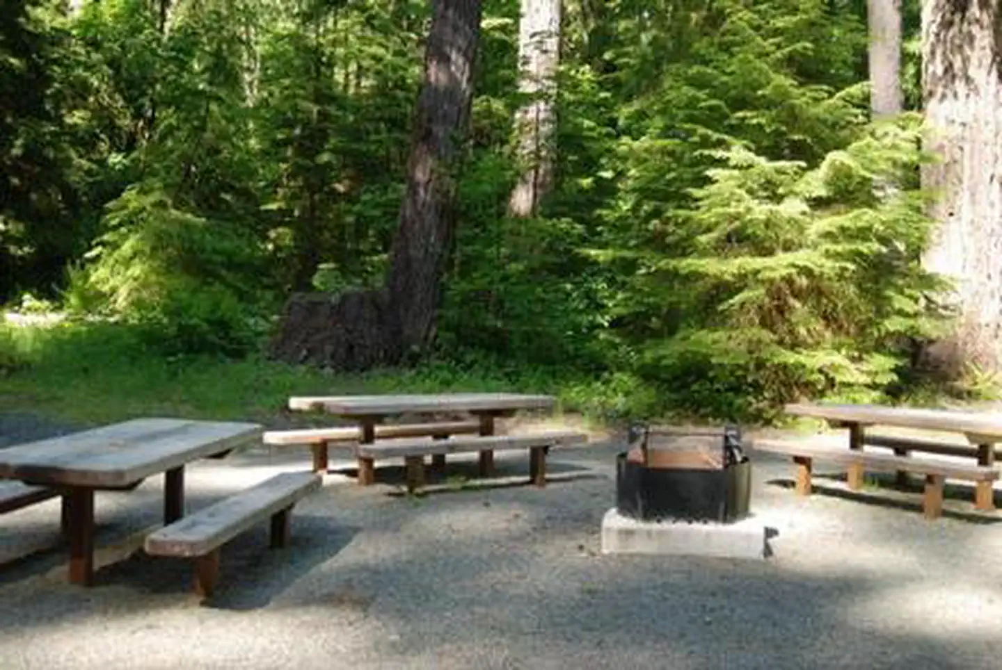
Campground Rules
- No campfires allowed
Within ~30 miles
Trails near Cowlitz Valley area
Trail
Woods Creek Watchable Wildlife Trail
Washington
0.9 mi112 ftgain
Easy
Trail
Oldgrowth Loop Trail
Washington
1.8 mi335 ftgain
Easy
Trail
Purcell Mountain Trail
Washington
4.0 mi1,955 ftgain
Difficult
Trail
Layser Cave Trail
Washington
0.4 mi269 ftgain
Easy
Trail
Covel Creek Falls and Angel Falls Trail
Washington
3.6 mi1,755 ftgain
Difficult
Trail
Iron Creek Campground Trail
Washington
1.7 mi558 ftgain
Moderate
Hunt context
Hunting units around this campground
During hunting seasons, wear blaze orange and check regulations — see the Washington hunting page
Nearby Campgrounds

Spot an error in our data on Cowlitz Valley area?