Photo: USFSPublic domainRecreation.gov
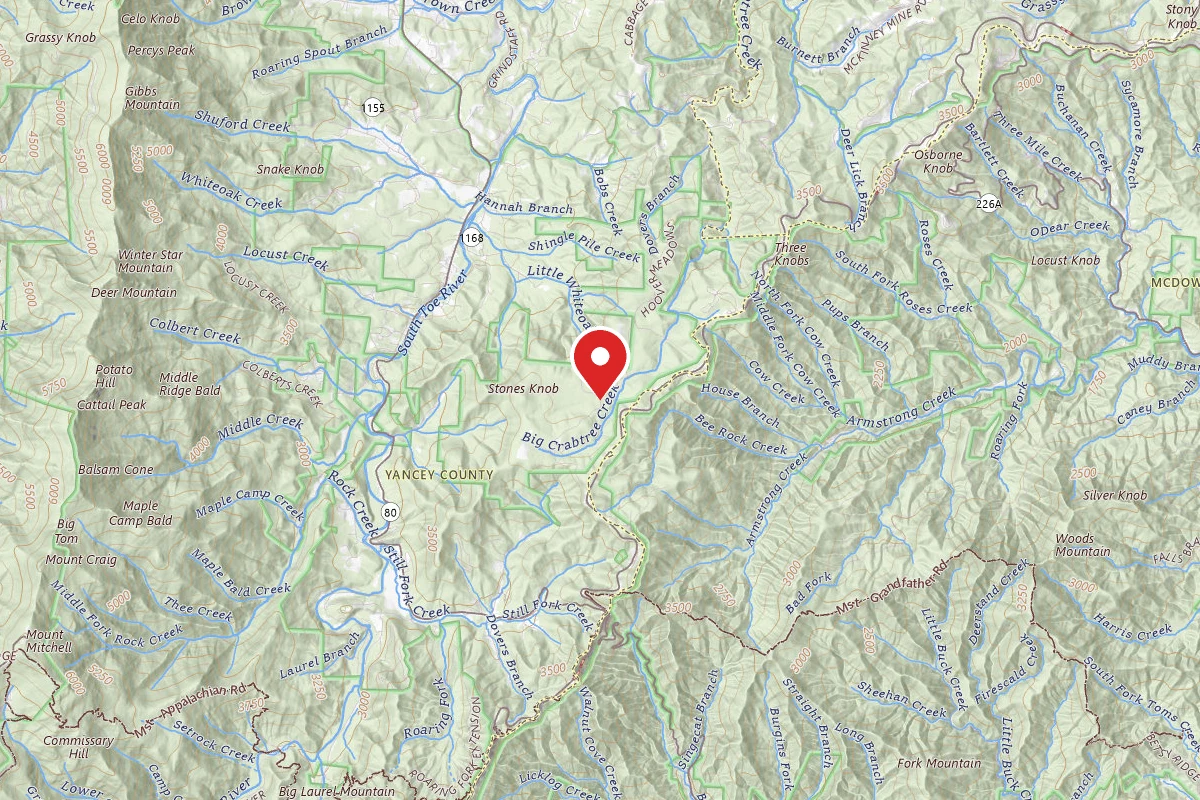
CAROLINA HEMLOCKS REC AREA
Burnsville, NC
Verify with the local Forest Service ranger district
Forest Service campgrounds vary by district. Fire restrictions, road conditions, and operating dates are set locally and change seasonally. Call the ranger district to confirm.
Official sources & verification
Managed by US Forest Service
Source of truth
- Recreation.gov details
Federal source for hours, fees, closures, and current availability.
Managing agency
- US Forest Service
Find offices, alerts, and current orders for this agency.
Verify by phone or mail
- Operator:828-675-5509
- Email:carolinahemlocks@cfaia.org
- Address:8516 HIGHWAY 80 SOUTH · Burnsville, NC · 28714
Live availability
via Recreation.govAvailability is a recent snapshot, not a live hold — you always complete the booking on recreation.gov.
About
Reviews
No reviews yet
Be the first to share your experience and help others plan their visit.
Check-in & Check-out
Check-in 2:00 PM
Check-out 12:00 PM
Individual Sites (39)
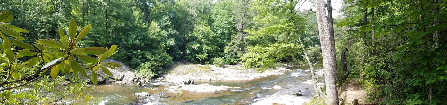
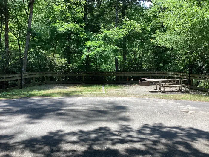
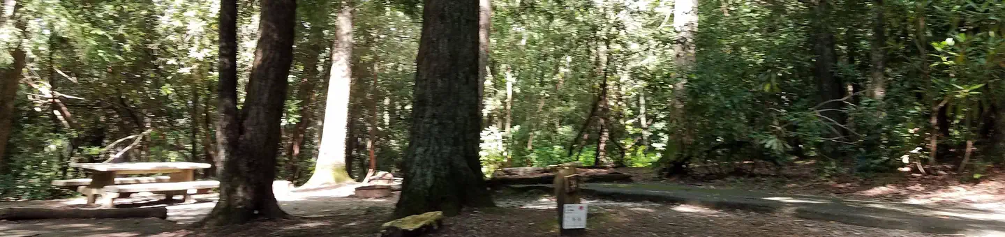
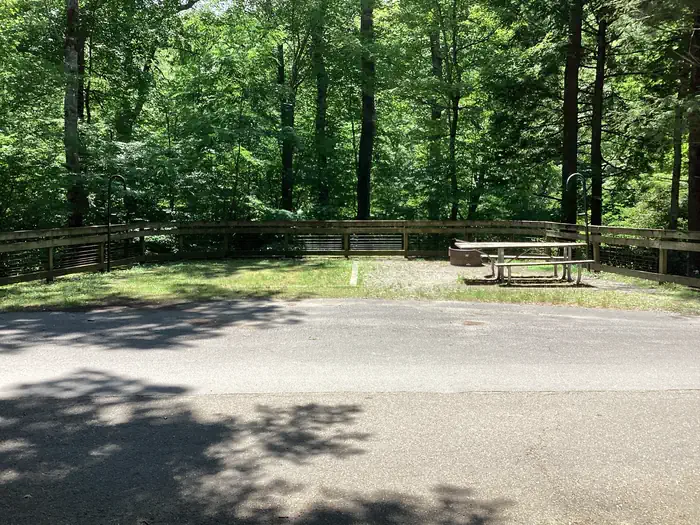
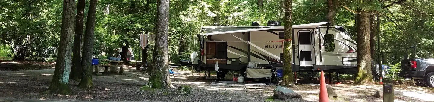
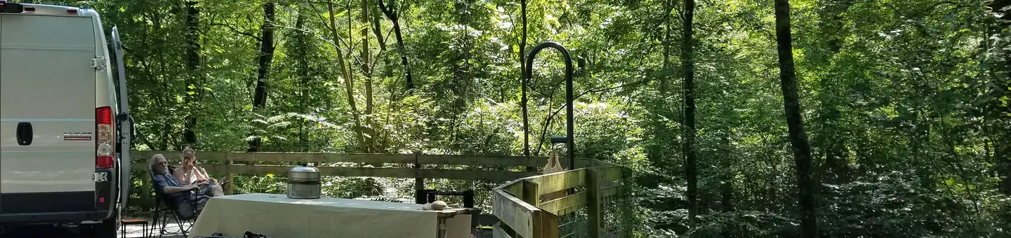
Within ~30 miles
Trails near CAROLINA HEMLOCKS REC AREA
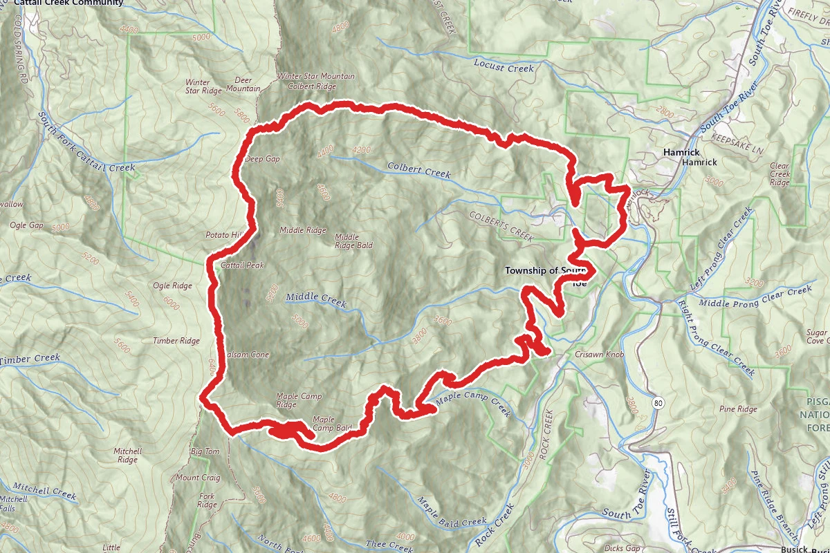
Colbert Ridge to Big Tom Spur to Buncombe Horse Trail Loop
North Carolina
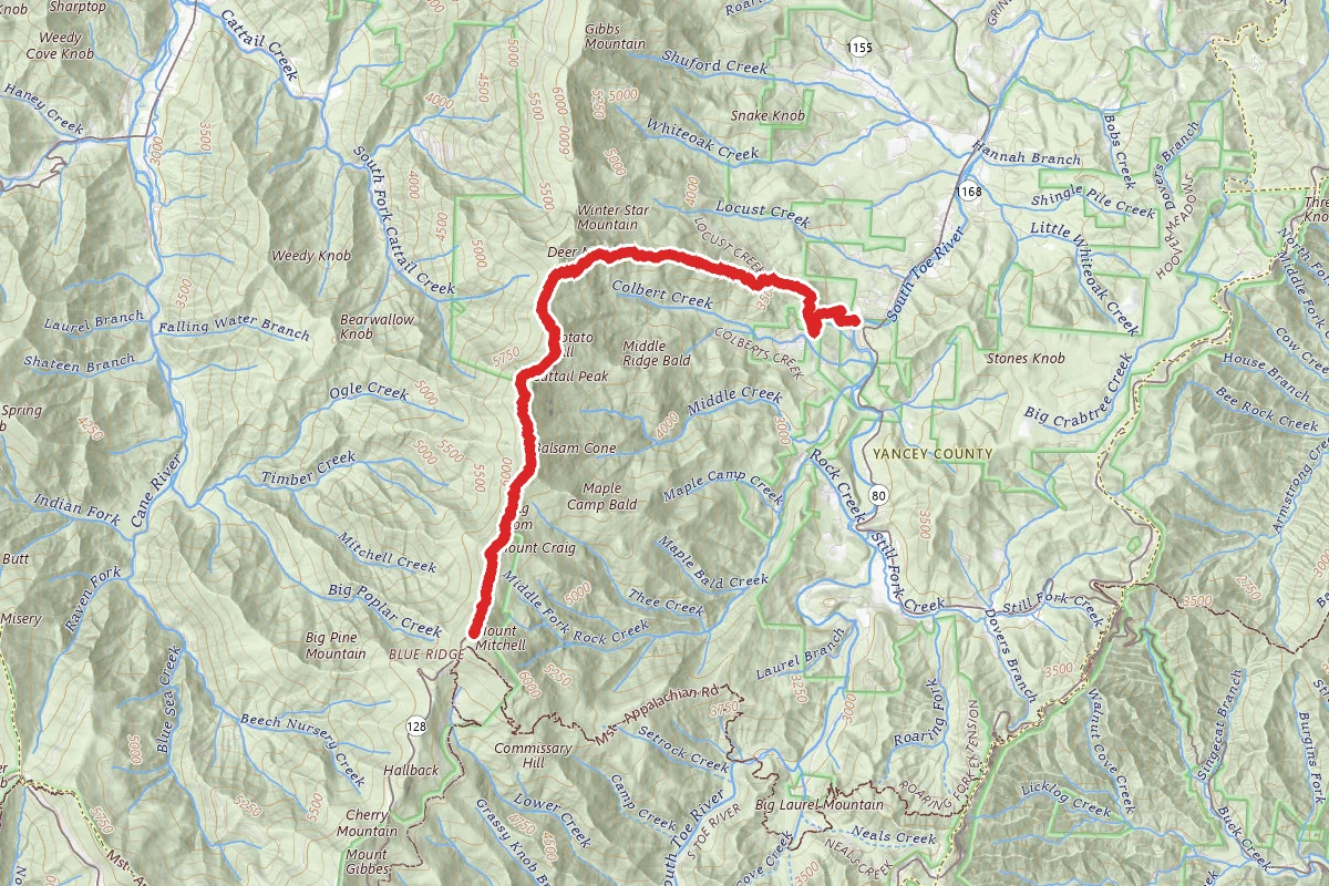
Colbert Ridge to Mount Mitchell
North Carolina
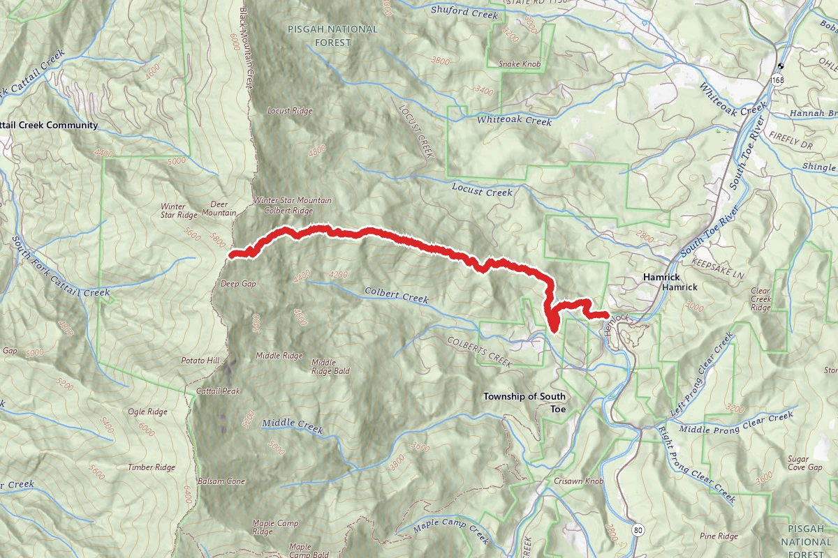
Colbert Ridge Trail
North Carolina
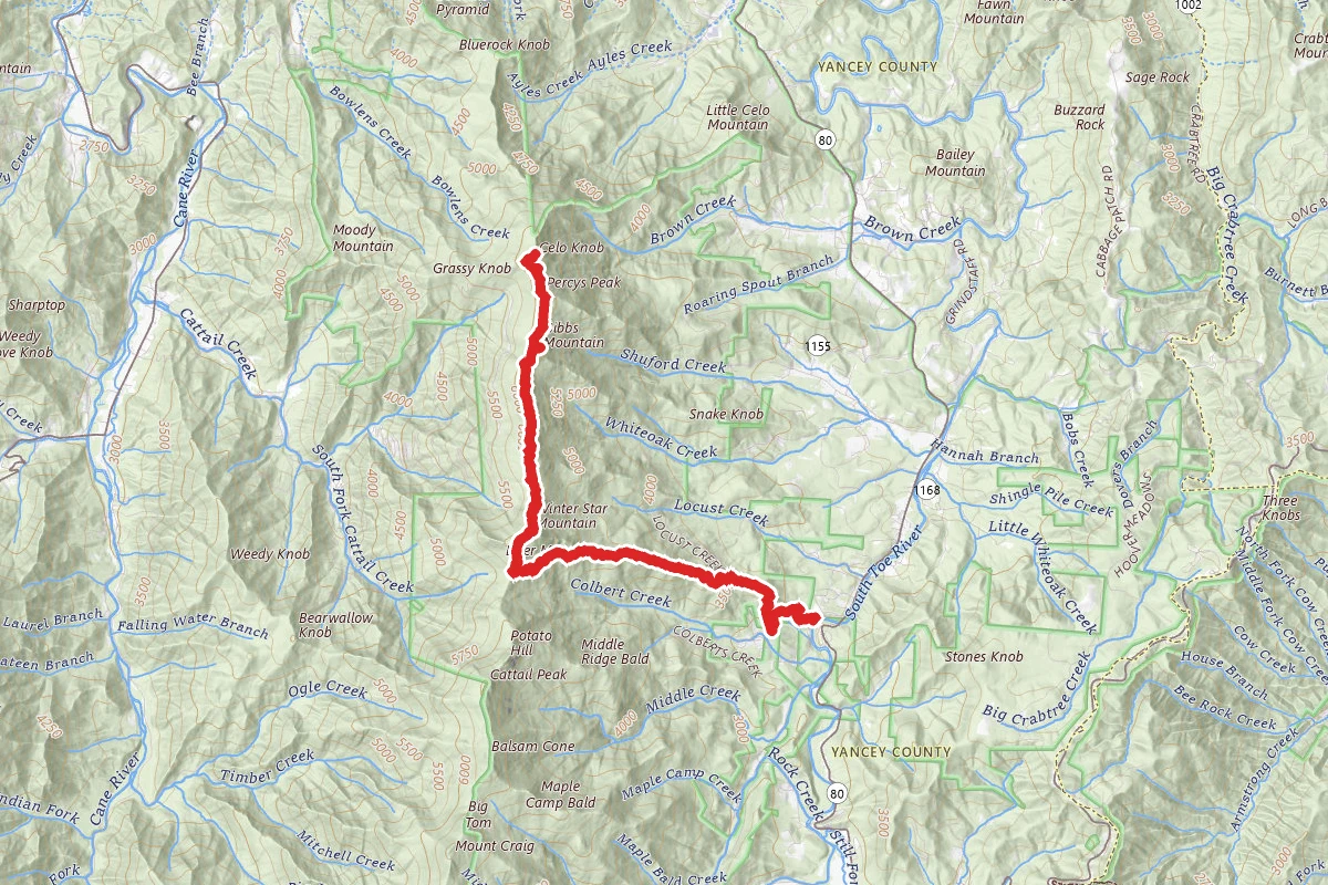
Celo Knob Via Black Mountain Crest and Colbert Ridge Trails
North Carolina
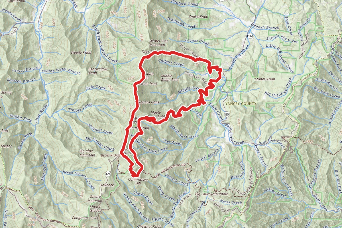
Colbert Ridge to Mount Mitchell to Maple Camp Ridge Loop
North Carolina
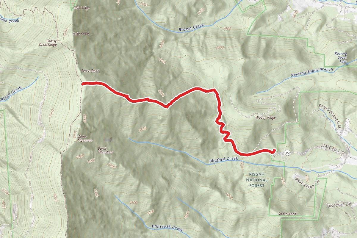
Woody Ridge Trail
North Carolina
Hunt context
Hunting units around this campground
During hunting seasons, wear blaze orange and check regulations — see the North Carolina hunting page
Nearby Campgrounds
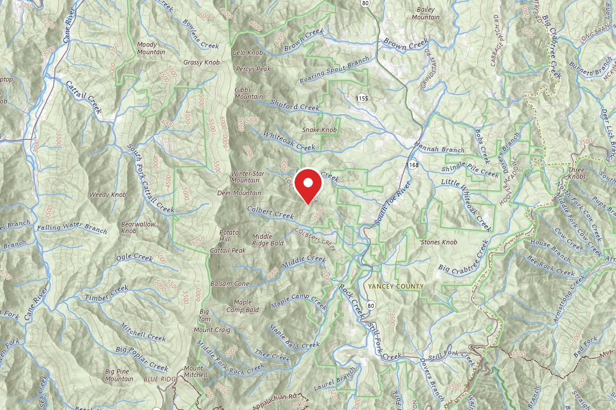
Dispersed Site near 35.8119, -82.2229
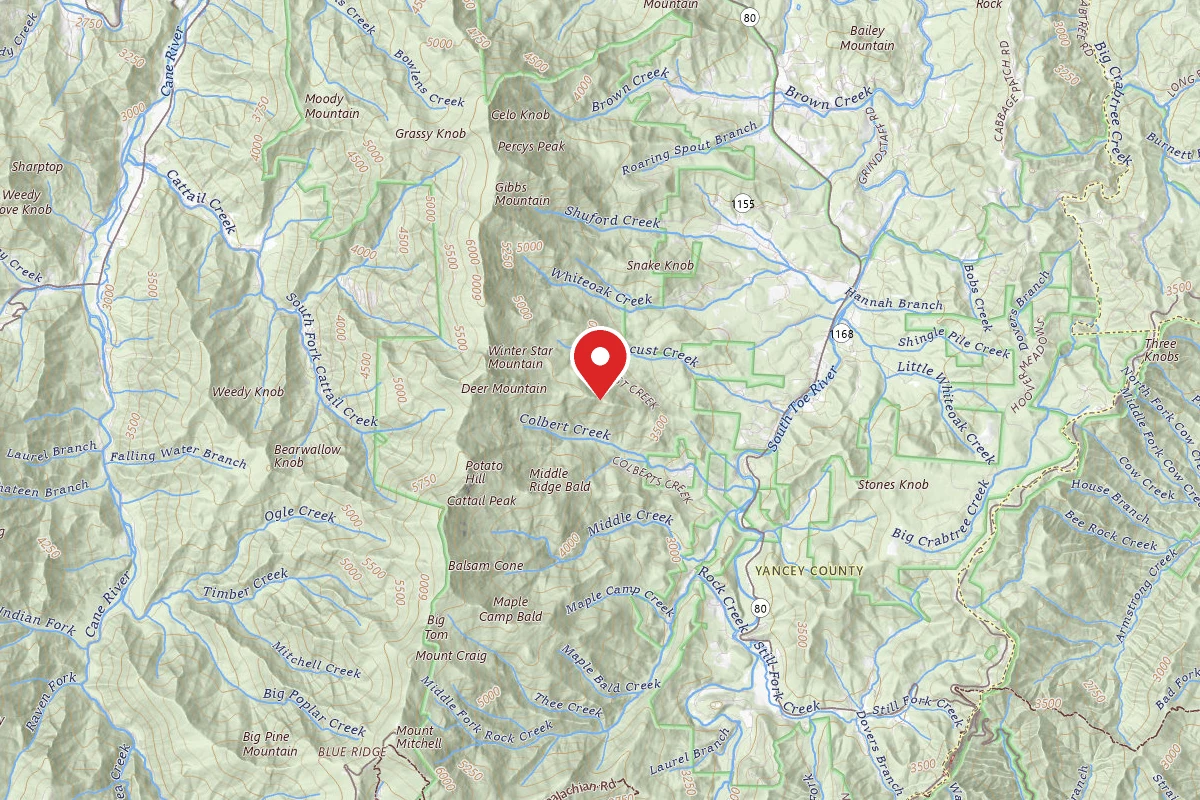
Dispersed Site near 35.8137, -82.2293
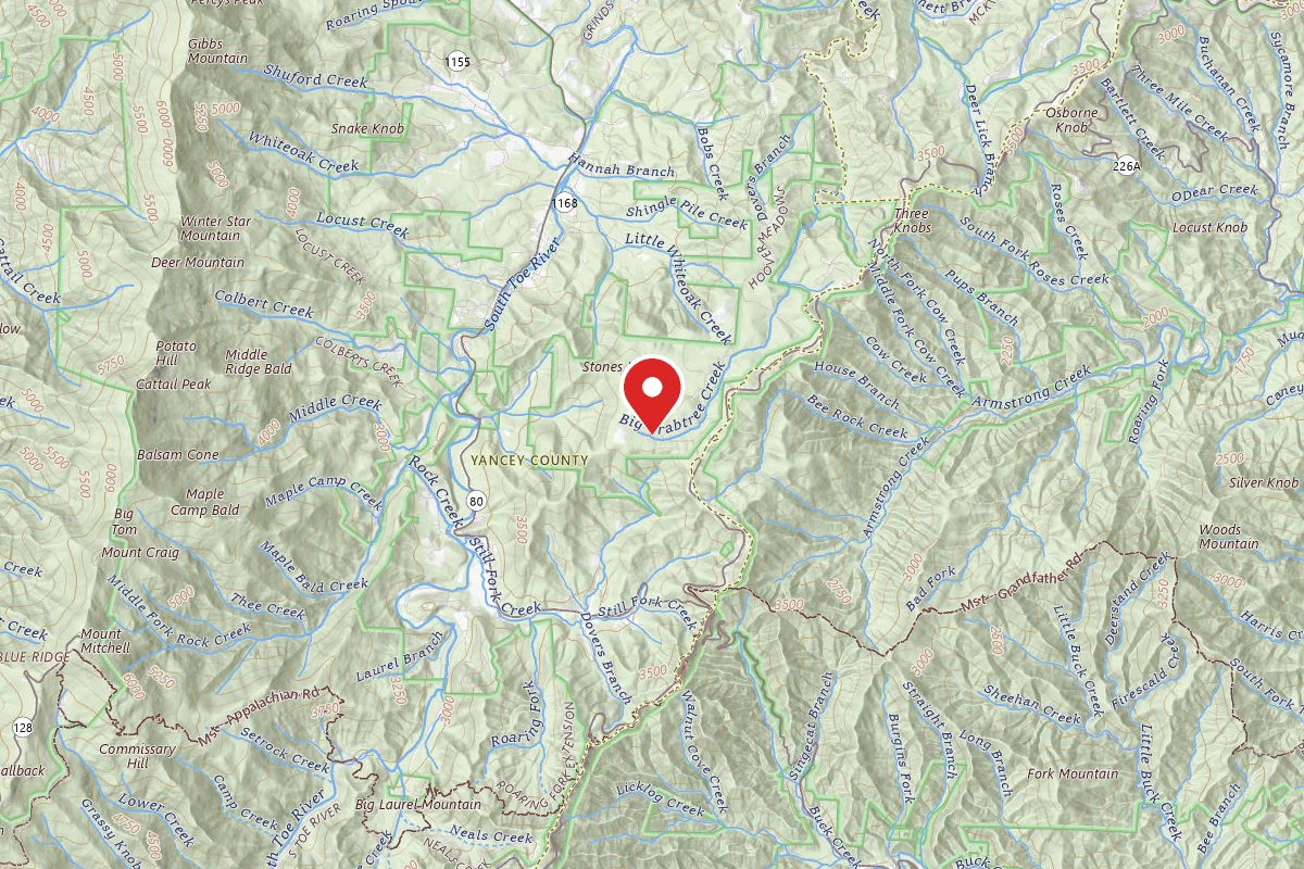
Victor Road Dispersed Camping Site 1
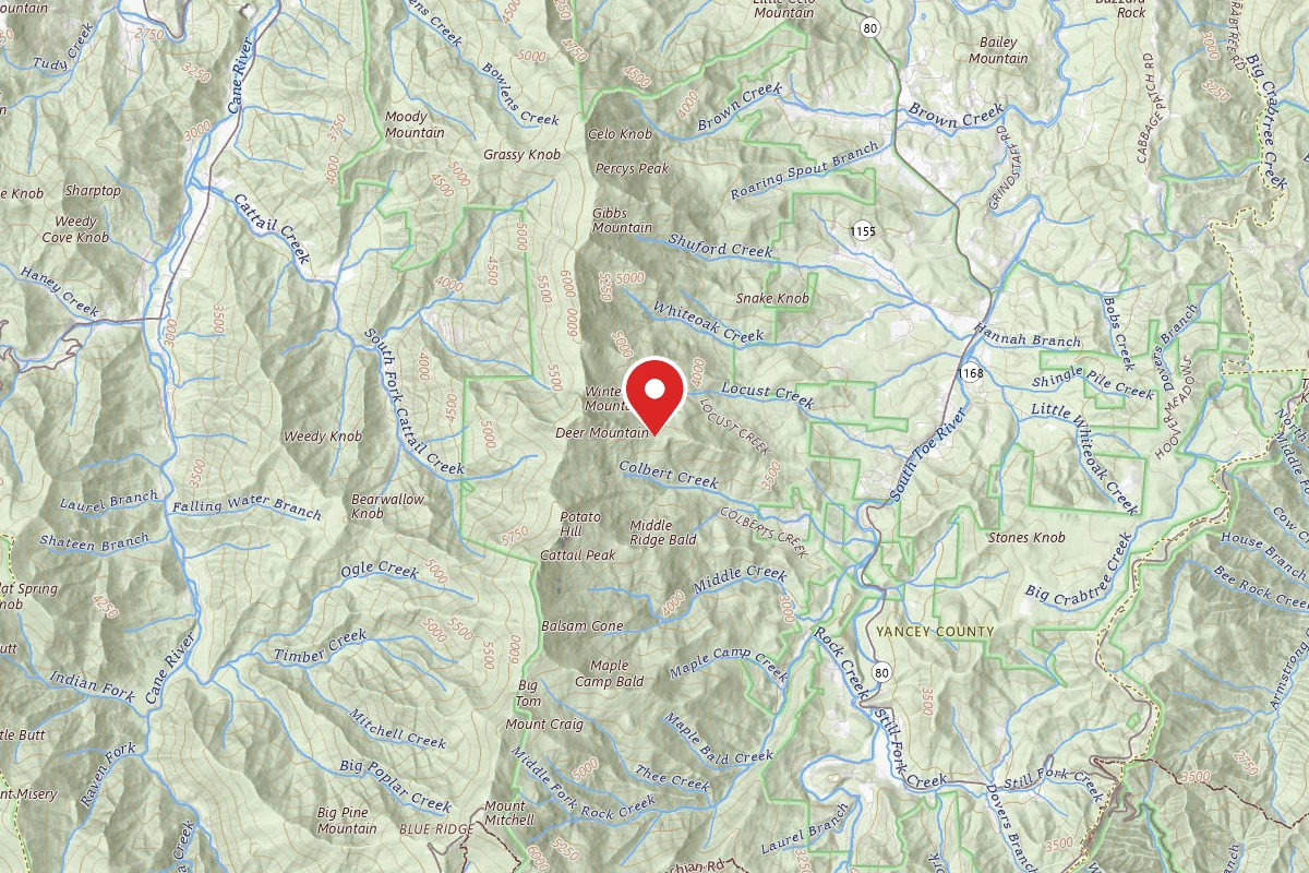
Dispersed Site near 35.8147, -82.2376
Victor Road Dispersed
Dispersed Site near 35.8124, -82.2520