BLM
Arizona National Scenic Trail
AZ
Verify with the local BLM field office
BLM site amenities, road access, and fire restrictions are managed by the local field office. Conditions change with weather and season — confirm before traveling.
Pricing
Check official pricing0.0
0 Reviews
Official sources & verification
Managed by Bureau of Land Management
Source of truth
- Agency source page
The page our published rules and notes are derived from.
Verify by phone or mail
- Operator:(520) 258-7200
- Email:blm_az_tfoweb@blm.gov
About
The Arizona National Scenic Trail spans over 800 miles from Mexico to Utah. This multi-use non-motorized, long-distance trail highlights Arizona’s topographic, biologic, historic, and cultural diversity. Congress designated it in 2009 as part of the Omnibus Public Lands Bill.The trail features historic sites, natural landmarks, geologic wonders, and remote wilderness. Opportunities include dispersed camping, hiking, wildlife viewing, photography, mountain biking (outside wilderness, national parks, or other specially managed areas), horseback riding and backpacking.The BLM manages Passages 15, 16, and 43. These passages are some of the driest on the trail. Whether fall or spring presents better water options depends on the strength of and the balance between winter snowfall and summer monsoons. The Arizona Trail Association has a database of water sources.The trail does not pass through any designated wilderness on these passages, but it does graze the boundary of the White Canyon Wilderness on the north portion of passage 16. Mountain bikers should be careful not to enter the designated wilderness at this location. Other sections of the trail do pass through parks and designated wilderness where bicycling is prohibited.Southern Arizona: The Tucson Field Office (TFO) administers 34 miles of trail through two passages, Passage 15 (Tortilla Mountains) and Passage 16 (Gila River Canyons). Passage 15 parallels and then crosses the Tortilla Mountains and Ripsey Wash to reach the Gila River. Passage 16 parallels the Gila River, crosses Walnut Canyon’s outlet, turns north at the trail’s lowest point, and winds through canyons to end at the Tonto National Forest boundary.Northern Arizona: Passage 43 (Buckskin Mountain) runs through land administered by the Arizona Strip Field Office (ASFO). The northern terminus begins at the Utah/Arizona Stateline Campground in Coyote Valley. The passage here ascends the northern end of the Kaibab Plateau through North Larkum Canyon and offers views of the Vermilion Cliffs National Monument and portions of the east unit of the Baaj Nwaavjo I’tah Kukveni Ancestral Footprints of the Grand Canyon National Monument. The trail then passes through the northern plateau’s pinyon-juniper woodland to reach the Kaibab National Forest’s boundary at the junction with Passage 42 just south of the BLM 1025 road, also known as the Winter Road. The Northbound route starts at the Kaibab National Forest boundary and works north through the pinyon-juniper woodland of the northern Kaibab Plateau and winds around Larkum Canyon offering views of the Baaj Nwaavjo I’tah Kukveni and Vermilion Cliffs national monuments before descending North Larkum Canyon into Coyote Valley. The trail reaches the northern terminus at Stateline Campground.In wet years, the spring bloom on Passage 43 can be significant among both wildflowers and cacti. Fall temperatures can present good hiking opportunities as well, and adjacent U.S. Forest Service-managed passages to the south have excellent fall foliage. Water sources are extremely limited.There is no direct road access to the southern end of Passage 43, but 1-2 miles north the trail crosses BLM 1025 road, the Winter Road, which serves as the primary access for the southern end of the passage. The BLM 1025 road is not regularly maintained but is generally accessible by four and all-wheel drive vehicles with good clearance. Summer thunderstorms and winter snow/rain can make access impassable.Hours and SeasonsFall and spring provide the best opportunities to hike the trail. Winter is also a good option on the southern passages managed by TFO, but the potential for colder temperatures and heavy snow on the Kaibab Plateau presents challenges at this time of year for Passage 43. Of the passages north of Grand Canyon, Passage 43 is typically the least affected by these conditions, however, so a section or day hike alone may be possible with good timing, planning and preparation.
Reviews
No reviews yet
Be the first to share your experience and help others plan their visit.
Within ~30 miles
Trails near Arizona National Scenic Trail
Hunt context
Hunting units around this campground
During hunting seasons, wear blaze orange and check regulations — see the Arizona hunting page
Nearby Campgrounds
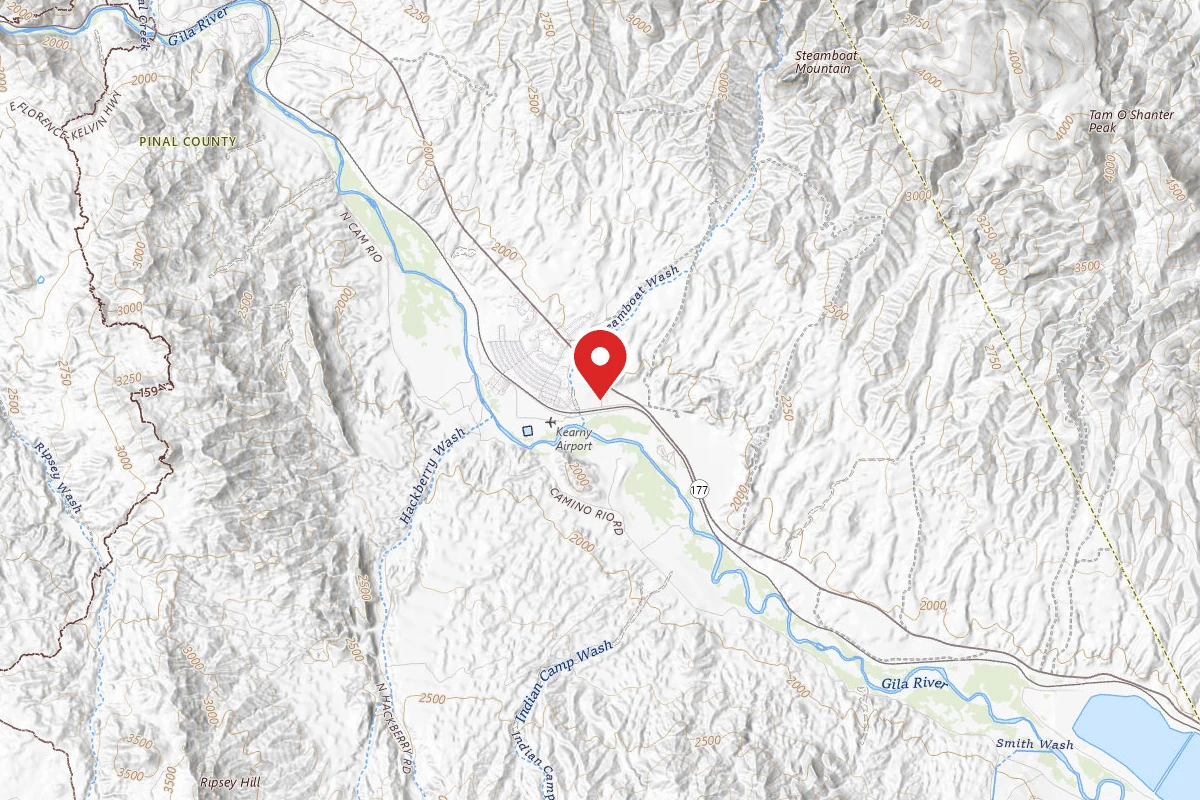
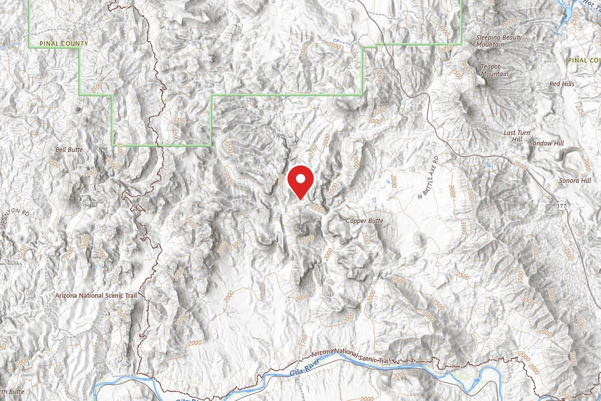
Dispersed Site near 33.1623, -111.0884
Pricing varies — check with the operator
Campground Dispersed

Dispersed Site near 33.1795, -111.1362
Pricing varies — check with the operator
Campground Dispersed

Dispersed Site near 33.1865, -111.1382
Pricing varies — check with the operator
Campground Dispersed

Dispersed Site near 33.1957, -111.1353
Pricing varies — check with the operator
Campground Dispersed

Dispersed Site near 33.2130, -111.1406
Pricing varies — check with the operator
Campground Dispersed
Spot an error in our data on Arizona National Scenic Trail?