National Forest
Abineau-Bear Jaw Loop
AZ
Verify with the local Forest Service ranger district
Forest Service campgrounds vary by district. Fire restrictions, road conditions, and operating dates are set locally and change seasonally. Call the ranger district to confirm.
Pricing
Check official pricing0.0
0 Reviews
Official sources & verification
Managed by US Forest Service
Source of truth
- Agency source page
The page our published rules and notes are derived from.
About
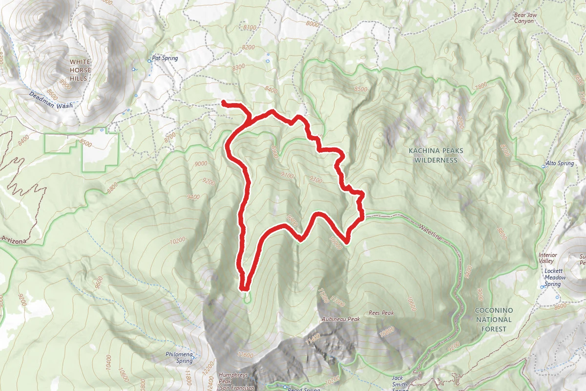
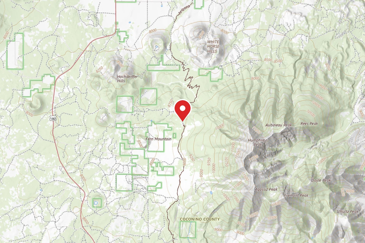
Abineau-Bear Jaw Loop is part of the Kachina Trail System.From the Abineau (#127) and Bear Jaw (#26) trails, on the north slope of the San Francisco Peaks, you can see the Grand Canyon seventy miles away. These two trails make a scenic loop through forested canyons. Both end at the Waterline Road (FR 146) along the base of a long talus slope topped by Humphreys Peak, Arizona's highest point. The climb along either two-mile trail is steep and steady through stands of mixed conifer and aspen. The road completes the loop by connecting the top of one trail to the other, ascending 600' over two miles from the top of Bear Jaw Trail to the top of Abineau Trail. From this high perspective the Grand Canyon cuts a wide gap in a the plateau stretching from the mountain to the horizon. With the almost half-mile connector trail from the trailhead to the loop (where Bear Jaw and Abineau split to follow different routes up the mountain), the entire hike is approximately 7 miles long.This route passes through an area colorful at all seasons of the year. In late spring, alpine wildflowers such as lupine, rocky mountain iris, penstemon and paintbrush splash the trailside meadows. Sunflowers add yellow in summer, and groves of aspen paint the slopes with crimson and gold during the fall.You may spot a black bear here—perhaps the best chance you'll have around the Peaks. These big shy animals occasionally show themselves along these trails. Mule deer and elk are also plentiful. Common birds include juncos, Steller's jays and Clark's nutcrackers. In spring and early summer the melodious hermit thrush will serenade you.Early in 2005, a huge avalanche did extensive damage to the trail in Abineau Canyon. Although the trail reopened by that summer, evidence of the avalanche still remains in toppled trees and gouged rock. Download a slideshow about the Abineau-Bear Jaw Loop (PDF)Bear Jaw Trail Statistics:Difficulty: StrenuousLength: 2.33 milesTrailhead Elevation: 8530 feetElevation Gain/Loss: 1312 feetUse: Hiking, horse backAbineau Trail Statistics:Difficulty: StrenuousLength: 1.93 milesTrailhead Elevation: 8530 feetElevation Gain/Loss: 2729 feetUse: Hiking, horse backAbineau/Bear Jaw Loop Trail Statistics:Difficulty: StrenuousLength: 7 milesTrailhead Elevation: 8530 feetElevation Gain/Loss: 2729 feetUse: Hiking, horse back
Reviews
No reviews yet
Be the first to share your experience and help others plan their visit.
Within ~30 miles
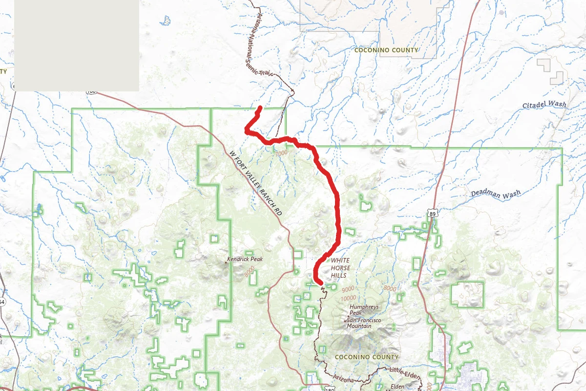
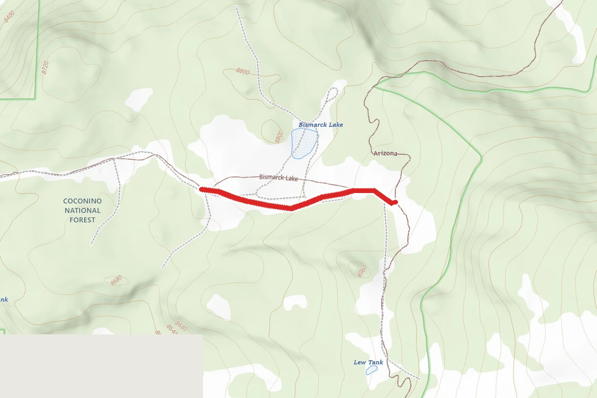
Trails near Abineau-Bear Jaw Loop
Hunt context
Hunting unit around this campground
During hunting seasons, wear blaze orange and check regulations — see the Arizona hunting page
Nearby Campgrounds
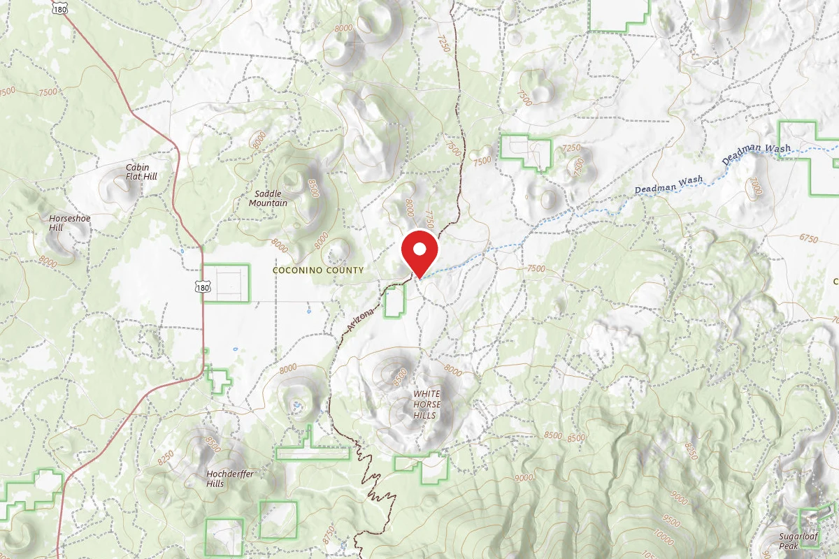
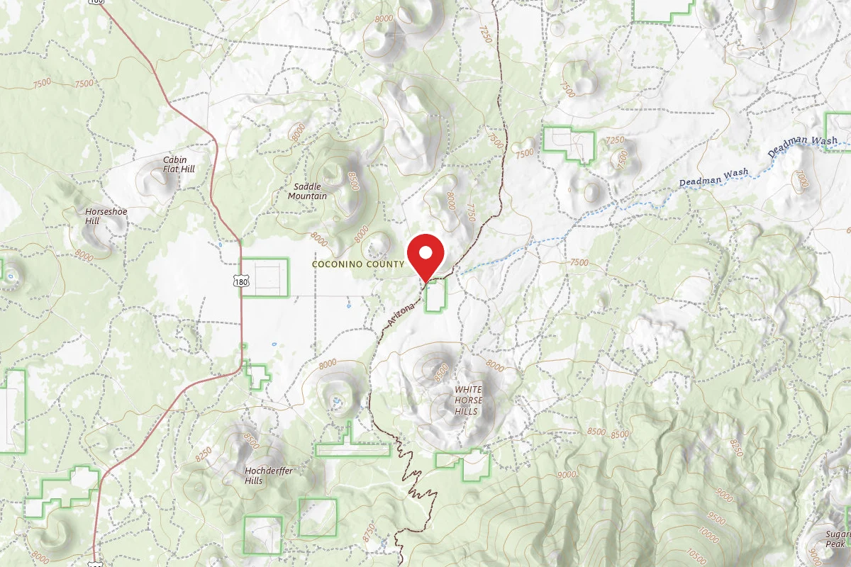
Dispersed Site near 35.4157, -111.7110
Pricing varies — check with the operator
Campground Dispersed
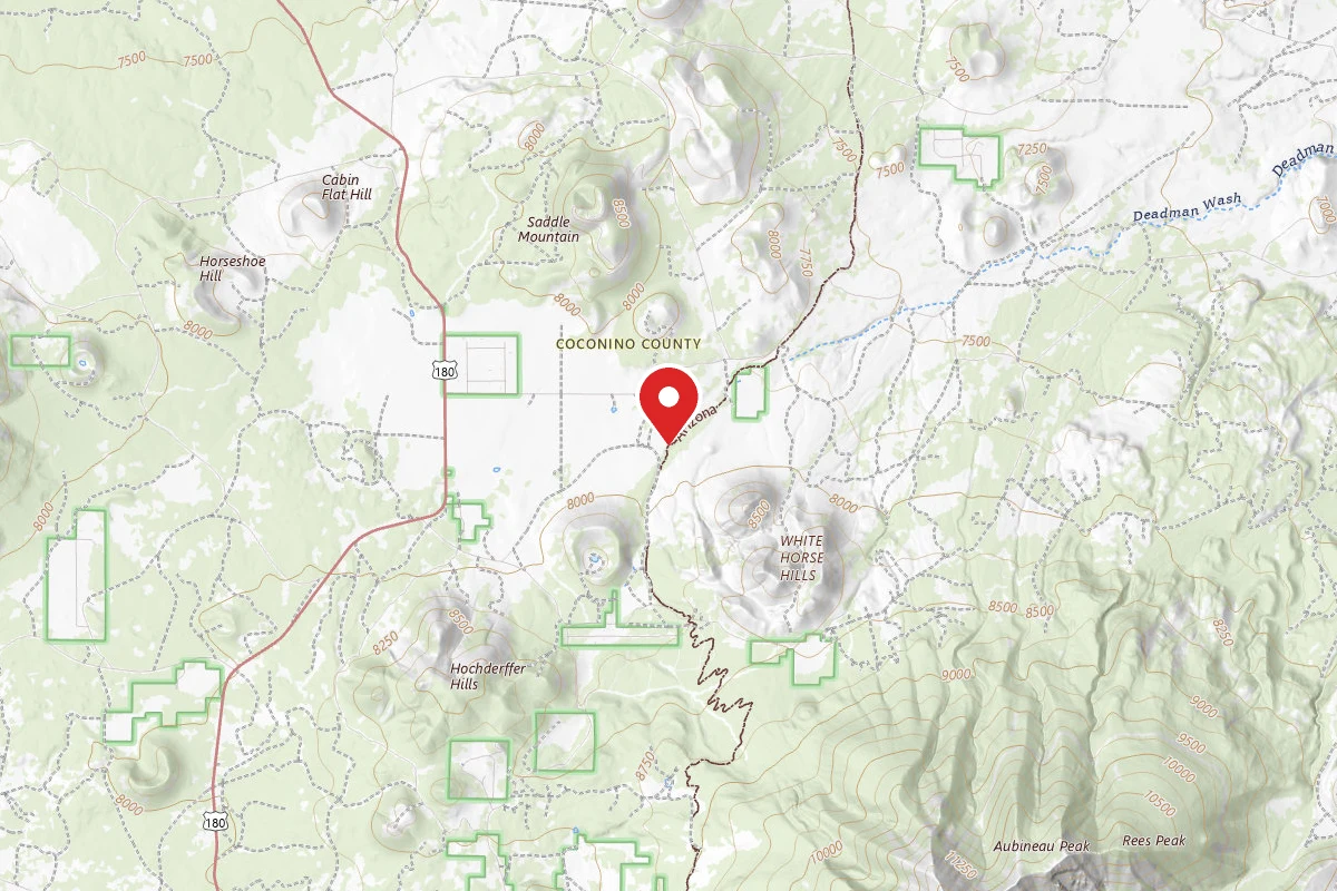
Dispersed Site near 35.4068, -111.7212
Pricing varies — check with the operator
Campground Dispersed
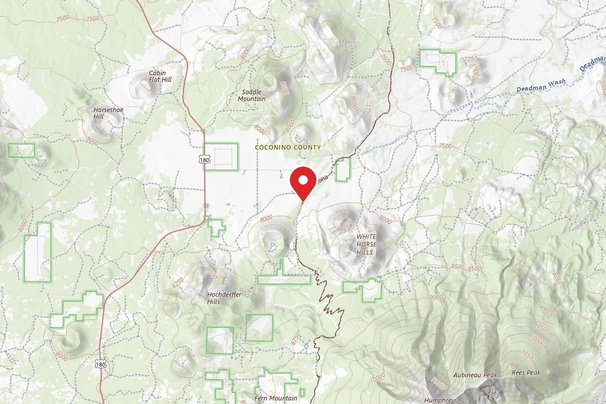
Dispersed Site near 35.4045, -111.7222
Pricing varies — check with the operator
Campground Dispersed
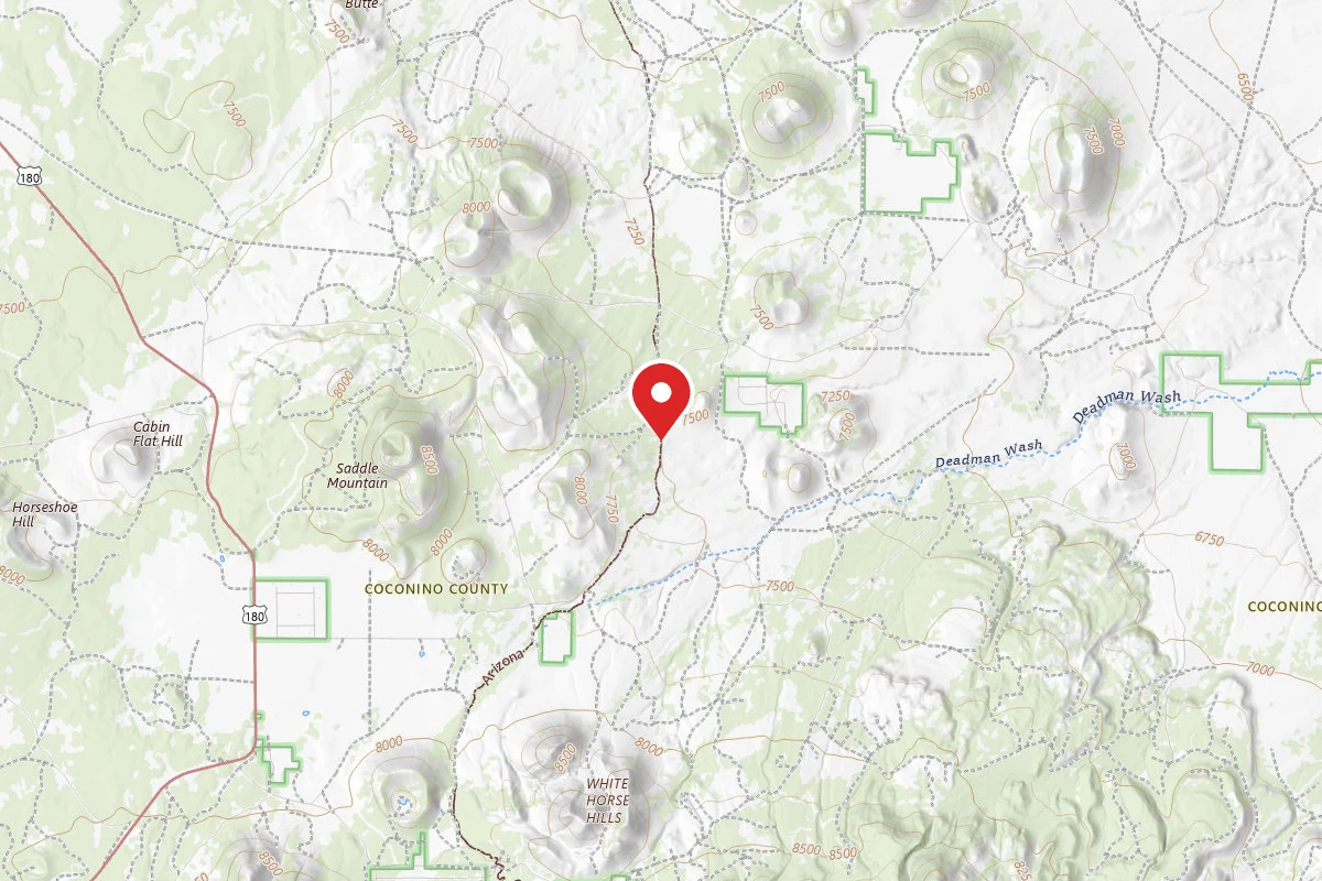
Dispersed Site near 35.4384, -111.6924
Pricing varies — check with the operator
Campground Dispersed
Dispersed Site near 35.3581, -111.7179
Pricing varies — check with the operator
Campground Dispersed
Spot an error in our data on Abineau-Bear Jaw Loop?