State Park
Abajo - Harts Draw Recreation Area
Monticello, UT
Pricing varies — check with the operator
Verify with the state park system
State parks set their own rules and reservation systems. Fire bans, road closures, and operating dates change seasonally — check the state park website before traveling.
Pricing
Pricing varies — check with the operator0.0
0 Reviews
Official sources & verification
Managed by State Park
Verify by phone or mail
- Address:Monticello, UT
About
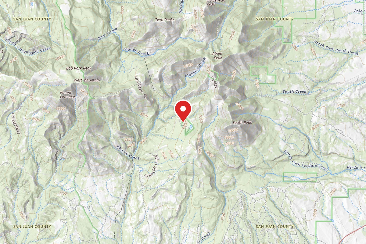
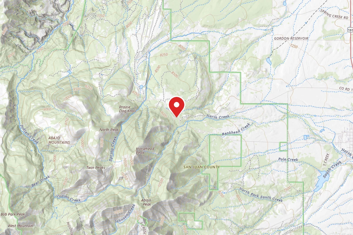
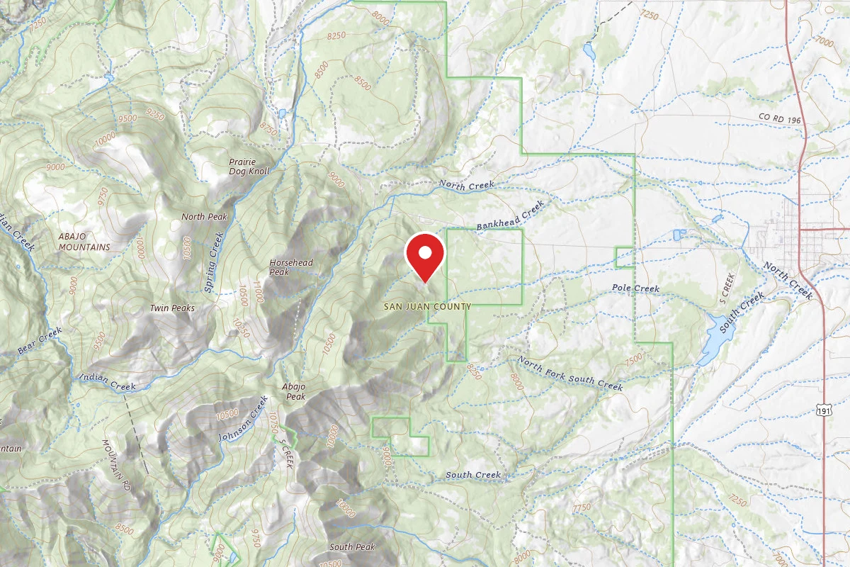
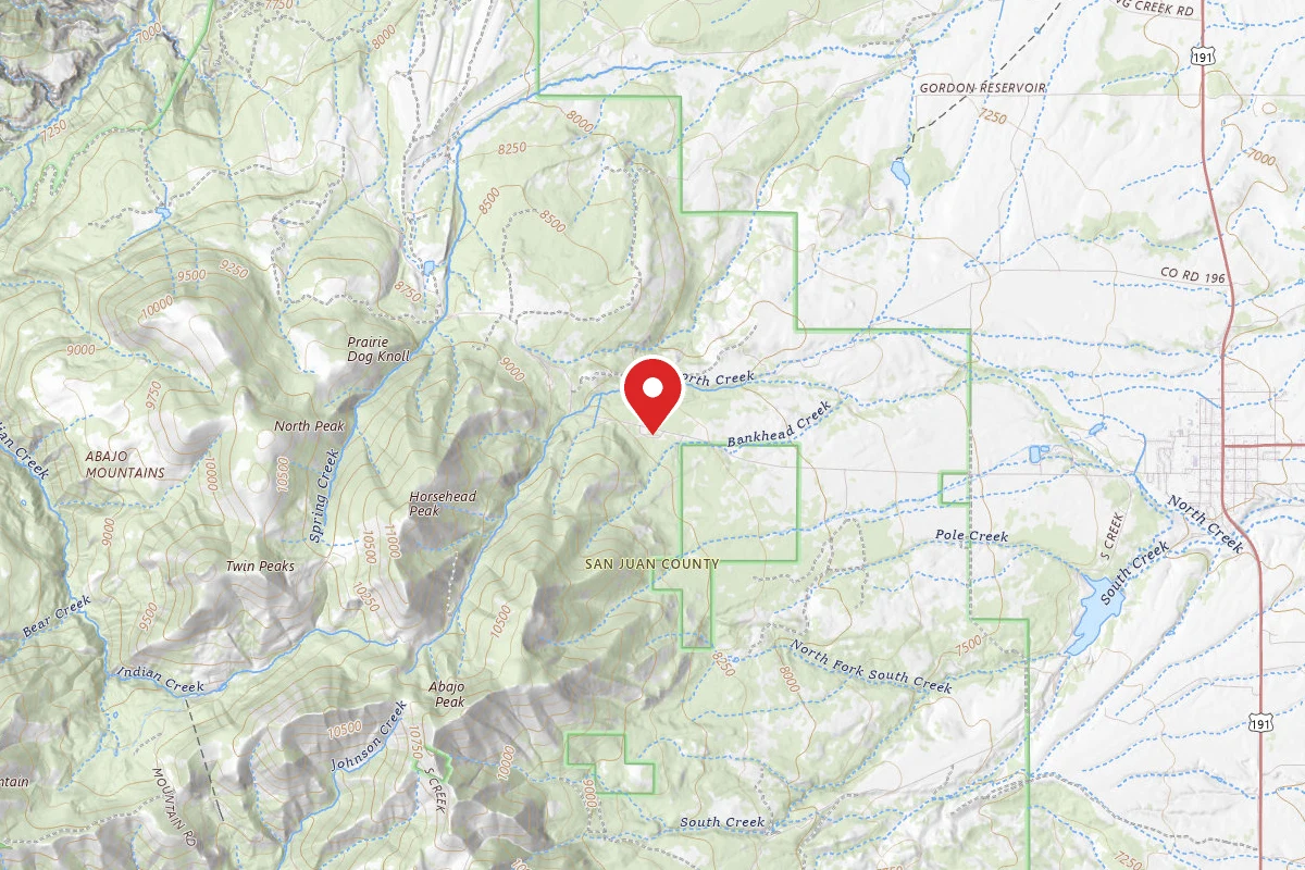
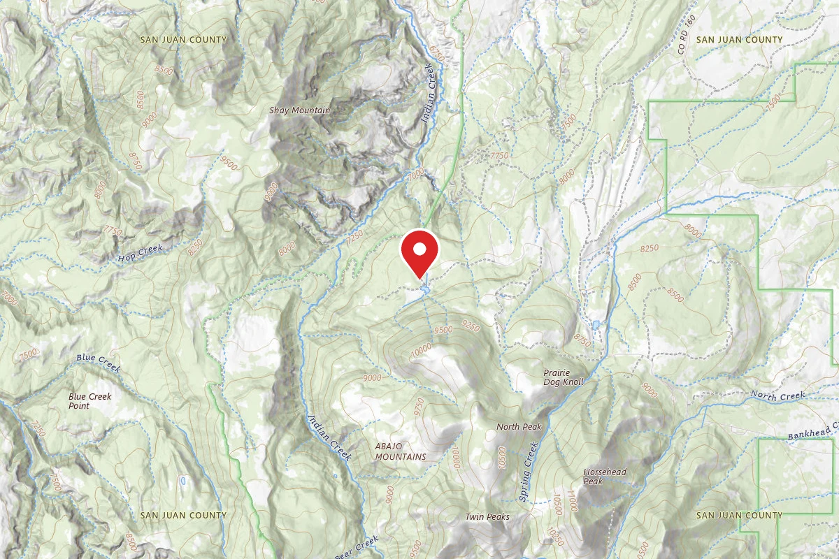
The Abajo - Harts Draw Recreation Area is located in Utah. The closest access is from US 191 and State Route 211. Horsehead Mountain is the highest peak in the range and has wonderful views. It has a network of trails, scenic drives, camping and opportunities for skiing and snowmobiling.
Reviews
No reviews yet
Be the first to share your experience and help others plan their visit.
Campground Rules
- No campfires allowed
Within ~30 miles
Trails near Abajo - Harts Draw Recreation Area
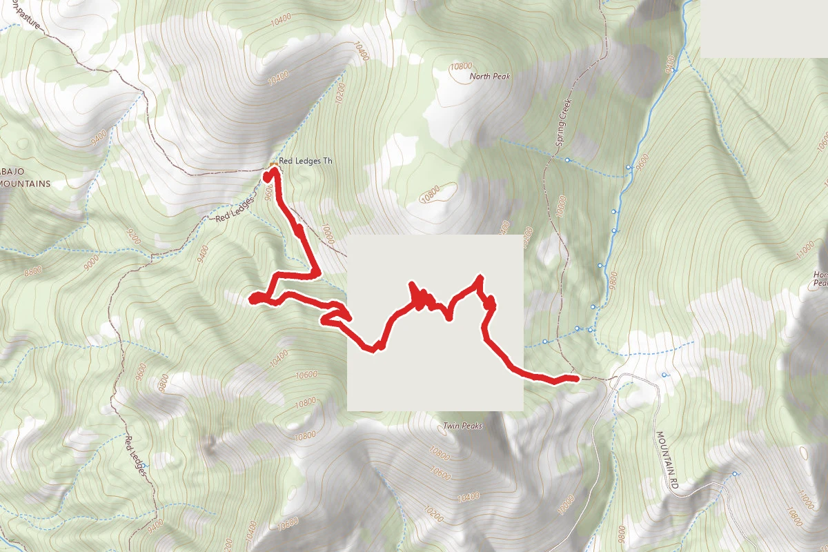
Robertson Pasture
Utah
3.0 mi427 ftgain
TrailDifficulty: Easy
Spring Creek Trail
Utah
2.6 mi49 ftgain
TrailDifficulty: Easy
Red Ledges Access Trail
Utah
0.8 mi20 ftgain
TrailDifficulty: Easy
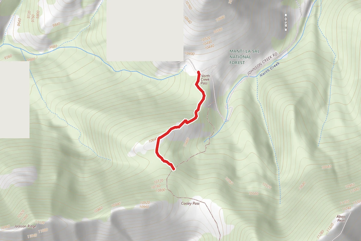
Cooley Pass
Utah
0.5 mi341 ftgain
TrailDifficulty: Moderate
Cooley Pass Trail
Utah
1.4 mi732 ftgain
TrailDifficulty: Easy
Red Ledges
Utah
5.0 mi682 ftgain
TrailDifficulty: Moderate
Hunt context
Hunting units around this campground
During hunting seasons, wear blaze orange and check regulations — see the Utah hunting page
Nearby Campgrounds
Spot an error in our data on Abajo - Harts Draw Recreation Area?