Moderate
2 mi
Distance
653 ft
Elev. Gain
57m
Est. Time
0.0
0 Reviews
About This Trail
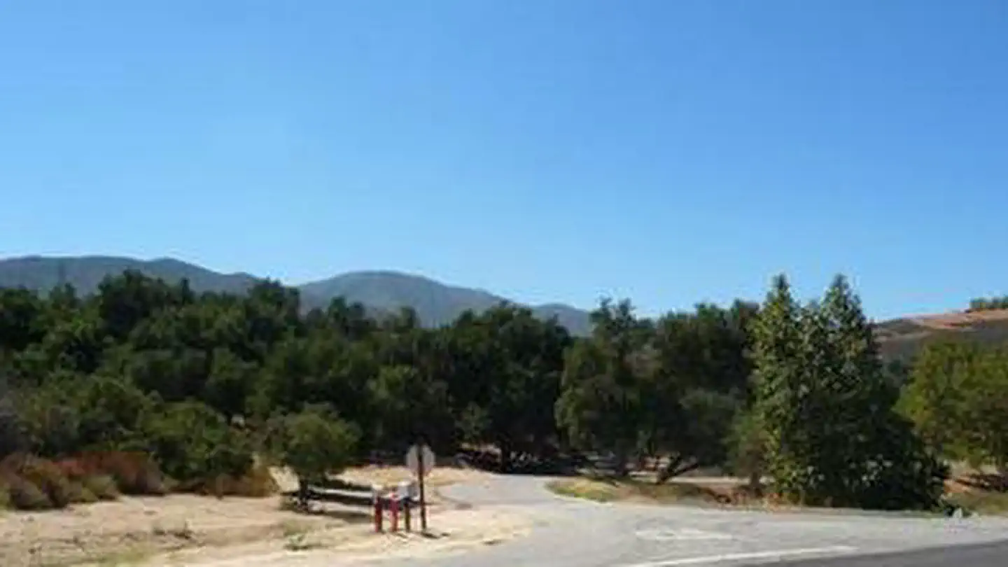
This trail is closed. The access bridge was washed out in a flash flood. The trail and the lake are closed until repairs can be made. This is unlikely to happen until late next year. The trail is a loop along the lake. The trail is just a small part of the area. The trail leads to a peninsula where you can see the lake. The trail has steep climbs to start, and then about a mile of easy walking just over halfway in, which leads to a ridgeline that will take you to the top of the hike. There is a 37% incline at some points. The trail is always in view of the lake. $5 fee.
Trail Details
Loop
Route Type
Dirt
Surface
Dogs Allowed (Leash Required)
Dog Policy
Yes
Kid Friendly
No
Permit Required
Elevation Profile
Min:445 ft
Max:547 ft
199 ft
199 ft
Reviews
No reviews yet
Be the first to share your experience and help others plan their visit.
Trail Conditions
Trail Conditions
Unknown
Updated Unknown
No recent condition reports. Be the first to share what you see on the trail.
Stay nearby
Campgrounds near this trail
Similar length
Similar trails in California

Half Dome
California
3.2 km1,463 mgain
Expert

Ryan Mountain Trail
California
2.3 km320 mgain
Moderate
.jpg/1280px-Sunset_from_the_Skull_Rock_Trail;_Jumbo_Rocks_(21113045388).jpg)
Skull Rock Nature Trail
California
2.1 km30 mgain
Easy
Cowles Mountain Trail
California
4.8 km327 mgain
Moderate
Temescal Canyon Trail [CLOSED]
California
4.7 km299 mgain
Moderate
Sturtevant Falls Trail
California
4.8 km292 mgain
Moderate