Difficult
8 mi
Distance
3,993 ft
Elev. Gain
4h 22m
Est. Time
0.0
0 Reviews
About This Trail
Due to new private property, the only path leading to Aldrich Butte has now been turned into the Bonneville site. This hike is well-made with views of both the Gorge and surrounding mountains. It's a good option to get away from it all and head straight to the traditional way, 15.8 miles. This route is strenuous because the distance and elevation gains are greater, and there is an area of rock talus to scramble on. The trail isn't straightforward due to many side trails that intersect.
Trail Details
Loop
Route Type
Dirt
Surface
Dogs Allowed (Leash Required)
Dog Policy
Yes
Kid Friendly
No
Permit Required
Elevation Profile
Min:21 ft
Max:1,047 ft
1,217 ft
1,217 ft
Reviews
No reviews yet
Be the first to share your experience and help others plan their visit.
Trail Conditions
Trail Conditions
Unknown
Updated Unknown
No recent condition reports. Be the first to share what you see on the trail.
Stay nearby
Campgrounds near this trail
 Reservable
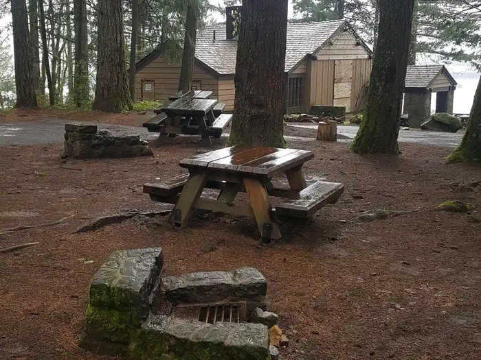
Eagle Creek Overlook Group Campground
1.8 mi away · OR
Reservable
Bridge of The Gods Motel Cabins & RV Park
3.2 mi away · OR
Reservable
Port of Cascade Locks Campground
3.2 mi away · OR
Beacon Rock -- Moorage Camp and Boat Launch
3.7 mi away · WA
Reservable
Skamania County Fairgrounds
4.2 mi away · WA
Reservable
Beacon Rock State Park
4.2 mi away · WA
Similar length
Similar trails in Washington
Hoh River Trail to Blue Glacier
Washington
15.9 km1,067 mgain
Difficult

Cascade Pass Trail
Washington
10.2 km549 mgain
Moderate

Maple Pass Loop
Washington
10.2 km610 mgain
Difficult
Snow Lake Trail
Washington
10.3 km694 mgain
Moderate
Poo Poo Point Trail
Washington
11.6 km815 mgain
Moderate
Lake Serene Trail and Bridal Veil Falls
Washington
16.4 km2,484 mgain
Difficult