Status unknown — verify before visiting
We don't have current condition data for this trail. Check with the land manager before you go.
30.7 mi
Distance
7,703 ft
Elev. Gain
12h 1m
Est. Time
Out & Back
Route Type
Expert
Difficulty
About This Trail
Imported descriptionTrail Conditions
Trail Conditions
We have no current condition data for this trail. Check with the operator before you go, and submit a report below if you've been recently.
No recent condition reports. Be the first to share what you see on the trail.
Elevation Profile
Trail Details
- Route Type
- Out & Back
- Surface
- Dirt
Official sources & verification
We don't have curated agency sources for this trail in our cache yet. Outdoors is not the permitting authority — confirm conditions, permits, and access with the managing agency before you go. If you know who manages this trail, please tell us.
Reviews
No reviews yet
Be the first to share your experience and help others plan their visit.
Legacy import — verify before navigating
Path geometry came from our pre-launch legacy database. Routes have not yet been re-verified against the operator and may differ from the actual trail.
Hunt context
This trail crosses hunting units
During hunting seasons, wear blaze orange and check regulations — see the Oregon hunting page
Nearby Trails
More trails near Sterling Mine Trail
Stay nearby
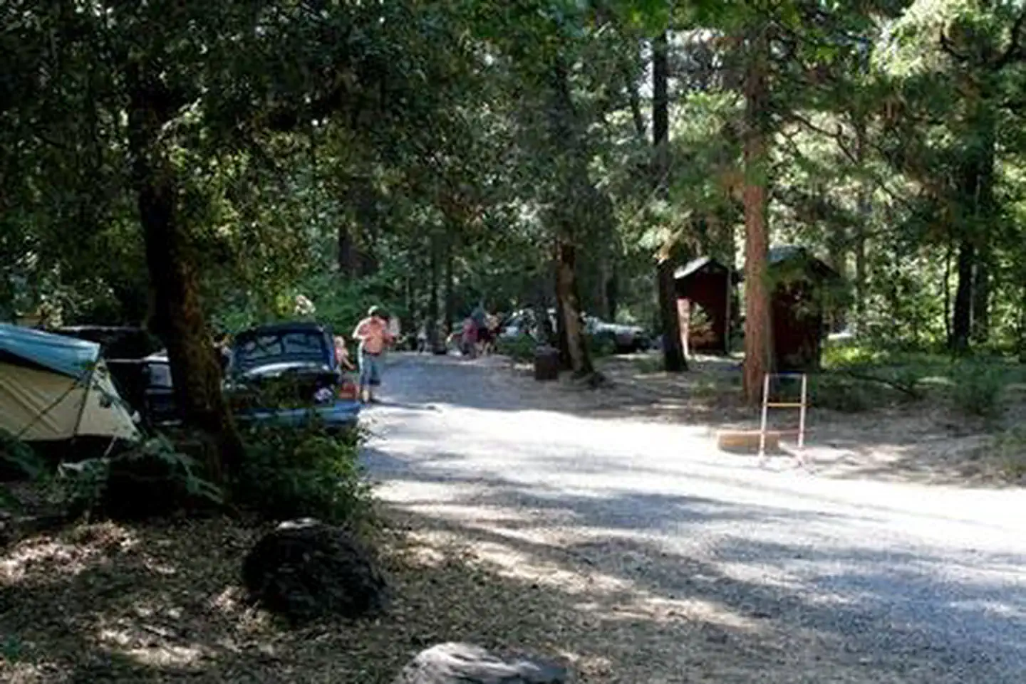
Campgrounds near this trail
Reservable
Serene Camping for Design Lovers
5.8 mi away · OR
Reservable
Cantrell Buckley Park
6.4 mi away · OR
 Reservable
Beaver Sulphur
6.7 mi away · OR
 Reservable
McKee Bridge Community Kitchen
7.4 mi away · OR
 Reservable
Flumet Flat Group Campground
8.5 mi away · OR
 Reservable
Jackson Campground On The Applegate River
8.6 mi away · OR
Similar length
Similar trails in Oregon

Wildwood Trail
Oregon
Timberline Trail Around Mount Hood From Cloud Cap Inn
Oregon
Wilson River Trail
Oregon
Ice Lake Trail
Oregon
Yocum Ridge Trail
Oregon
Peter Skene Ogden Trail
Oregon