Status unknown — verify before visiting
We don't have current condition data for this trail. Check with the land manager before you go.
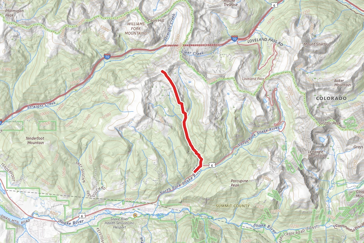
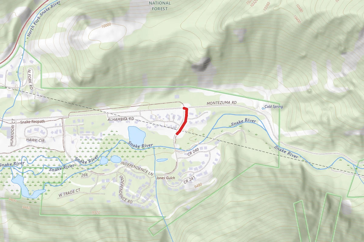
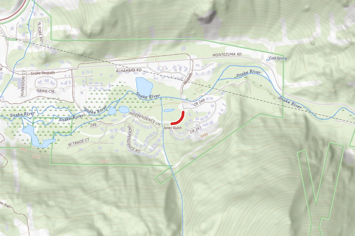
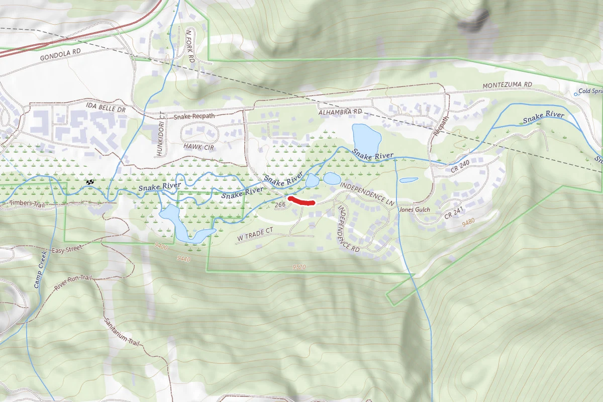
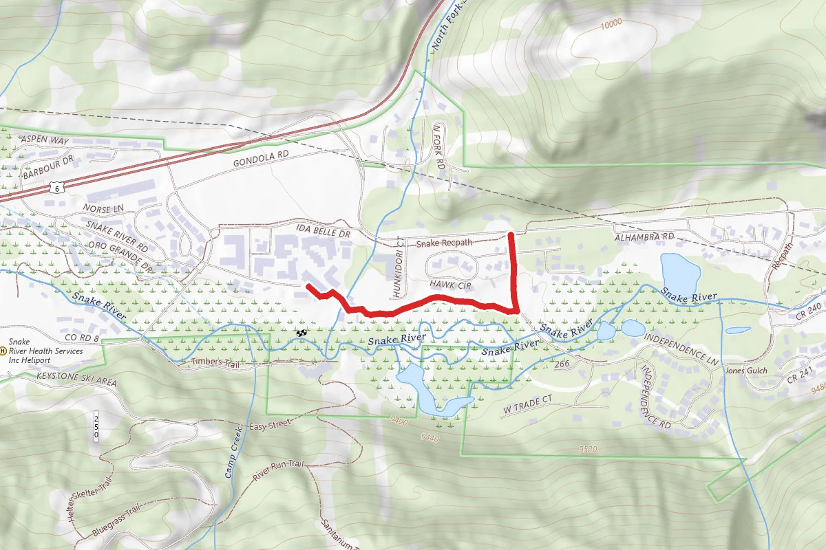
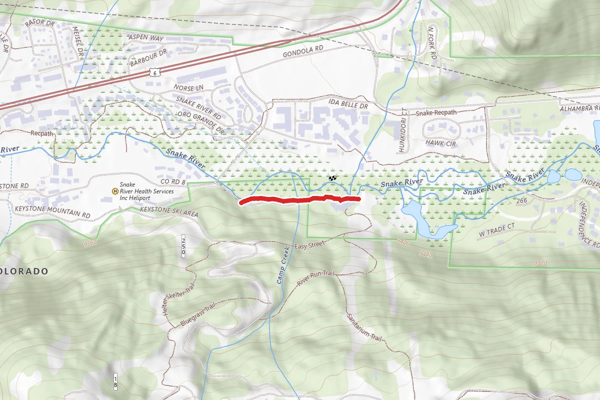
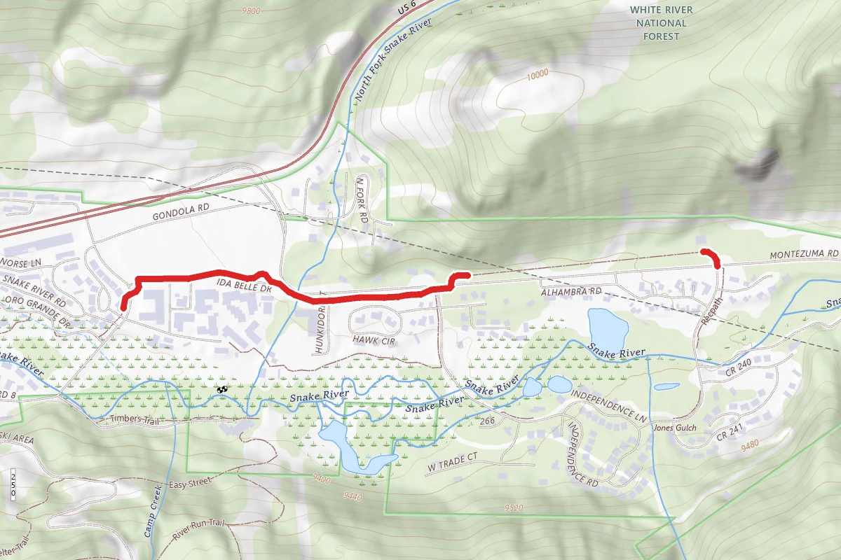
7.0 mi
Distance
2,625 ft
Elev. Gain
3h 36m
Est. Time
Out & Back
Route Type
Difficult
Difficulty
About This Trail
Imported descriptionTrail Conditions
Trail Conditions
We have no current condition data for this trail. Check with the operator before you go, and submit a report below if you've been recently.
No recent condition reports. Be the first to share what you see on the trail.
Elevation Profile
Trail Details
- Route Type
- Out & Back
- Surface
- Dirt
Official sources & verification
We don't have curated agency sources for this trail in our cache yet. Outdoors is not the permitting authority — confirm conditions, permits, and access with the managing agency before you go. If you know who manages this trail, please tell us.
Reviews
No reviews yet
Be the first to share your experience and help others plan their visit.
Legacy import — verify before navigating
Path geometry came from our pre-launch legacy database. Routes have not yet been re-verified against the operator and may differ from the actual trail.
Hunt context
This trail crosses hunting units
During hunting seasons, wear blaze orange and check regulations — see the Colorado hunting page
Stay nearby
Campgrounds near this trail
Peru Creek Designated Dispersed Camping
4.7 mi away · CO
Deer Creek Road TH #5
5.2 mi away · CO
 Reservable
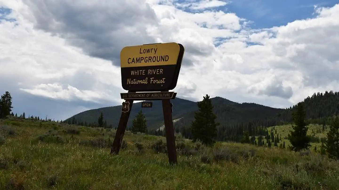
Lowry Campground
6.1 mi away · CO
 Reservable
Prospector Campground
6.7 mi away · CO
White River National Forest Windy Point Group Campground
6.8 mi away · CO
 Reservable
Windy Point Group Campground
6.8 mi away · CO
Similar length
Similar trails in Colorado
.jpg/1280px-Just_keep_climbing..._(26525368969).jpg)
Sky Pond Trail
Colorado

Emerald Lake Trail
Colorado

Flattop Mountain Trail
Colorado

Chasm Lake Trail
Colorado
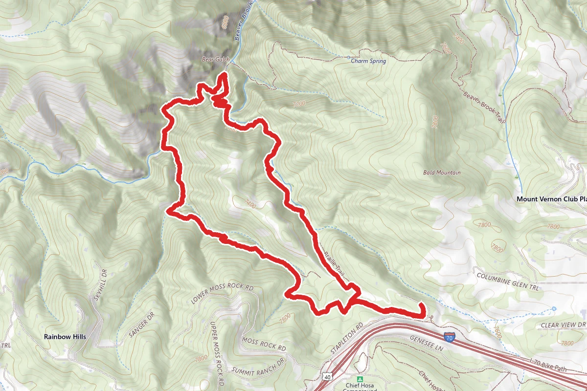
Chavez and Beaver Brook Trail Loop
Colorado
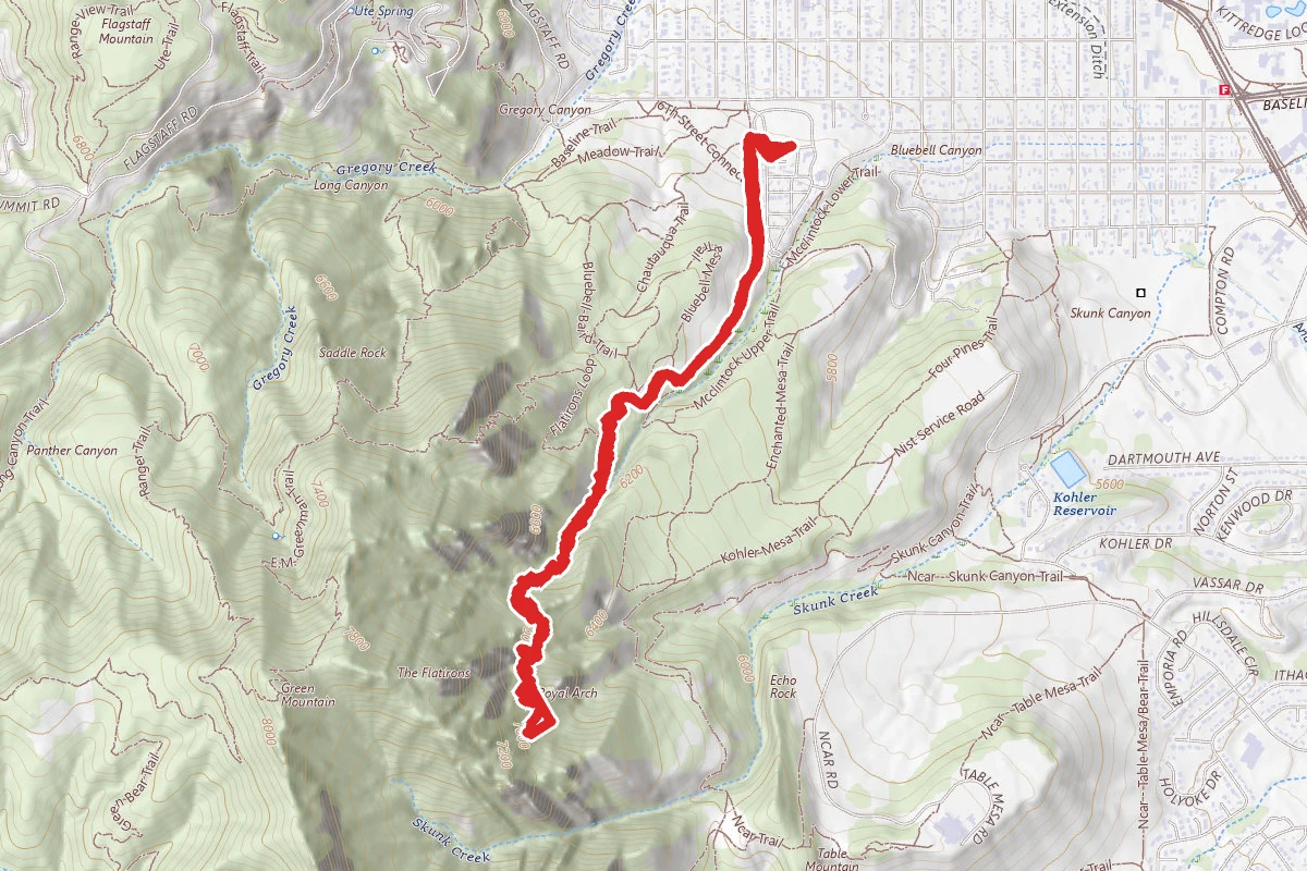
Royal Arch Trail
Colorado