Difficult
29.1 mi
Distance
8,123 ft
Elev. Gain
12h 51m
Est. Time
0.0
0 Reviews
About This Trail
In lieu of the TuolumneMeadows route in the park, there is a different route. This route is an option for hikers. The winter closure of the park does not allow overnight parking or restrict access. This hike requires over 5,000 ft. of vertical gain before reaching the base. Affirmative: It is not a good idea to attempt this in one day.
Trail Details
Out & Back
Route Type
Dirt
Surface
Dogs Allowed (Leash Required)
Dog Policy
Yes
Kid Friendly
No
Permit Required
Elevation Profile
Min:2,209 ft
Max:3,376 ft
2,476 ft
2,476 ft
Reviews
No reviews yet
Be the first to share your experience and help others plan their visit.
Trail Conditions
Trail Conditions
Unknown
Updated Unknown
No recent condition reports. Be the first to share what you see on the trail.
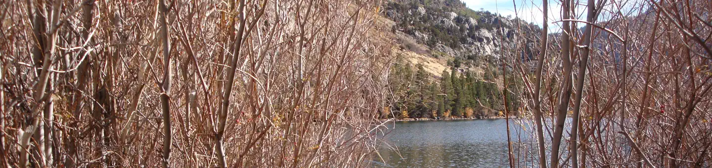
Silver Lake to Lake Catherine via North Glacier Pass
32.5 km
Difficult
Donohue Pass via Rush Creek and John Muir Trail
40.2 km
Difficult
Silver Lake to Tioga Pass Rd
33.3 km
Difficult
Silver Lake to Thousand Island Lake Loop
27.5 km
Difficult
Silver Lake and Clark Lakes to Agnew Pass in the Eastern Sierras
19.8 km
Difficult

Silver Lake and Clark Lakes to Agnew Pass in the Eastern Sierras
19.8 km5.0
Difficult
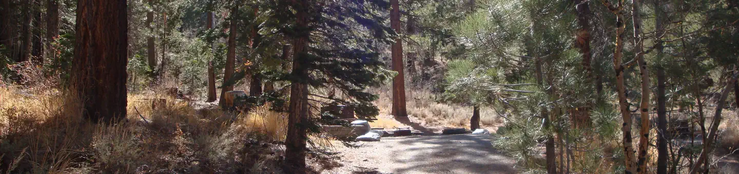
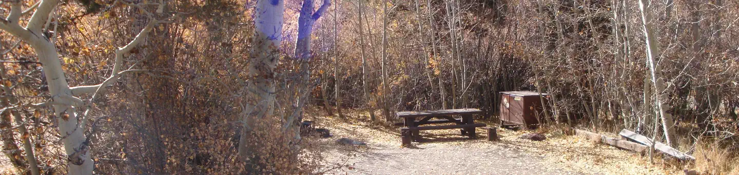
Stay nearby
Campgrounds near this trail
Similar length
Similar trails in California
Mount Whitney Trail
California
36.2 km4,357 mgain
Difficult
Happy Isles, Vernall Falls, Half Dome, Tenaya Lake, and Mirror Lakes Loop [CLOSED]
California
48.6 km3,379 mgain
Difficult
Rae Lakes Trail
California
66.6 km2,949 mgain
Difficult
Heaton Flat Trail to Iron Mountain
California
29.0 km2,267 mgain
Difficult
Sespe River Trail to Willett Hot Springs
California
31.9 km1,093 mgain
Moderate
Valley Floor Loop Trail [CLOSED]
California
32.3 km1,143 mgain
Easy