Easy
2.8 mi
Distance
807 ft
Elev. Gain
1h 15m
Est. Time
0.0
0 Reviews
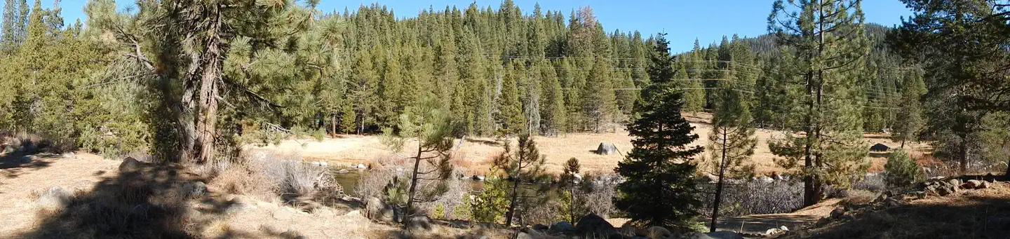
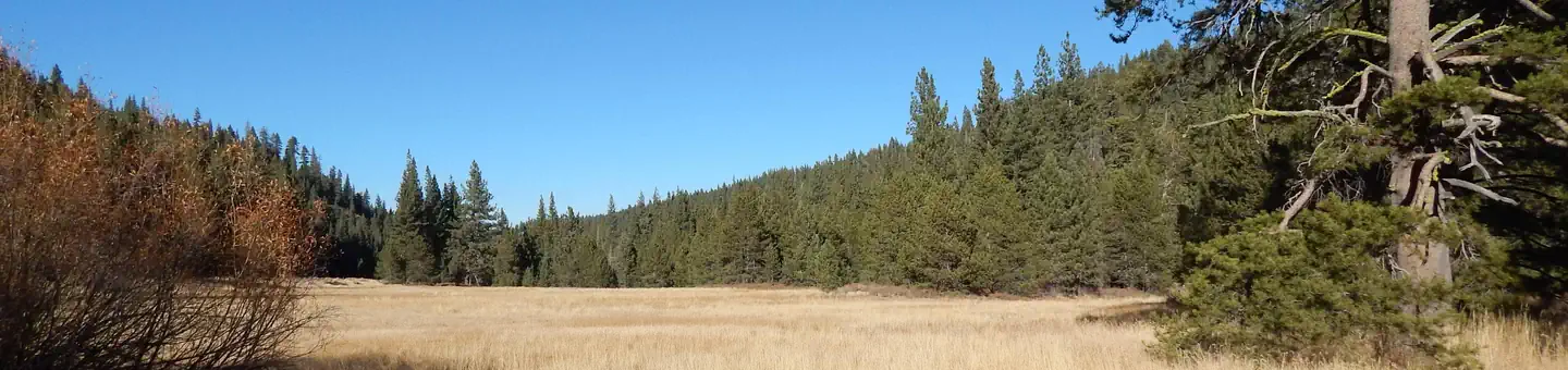
About This Trail
There is no vehicle access to this trail or other areas in the park. More info can be found here at www.parks.ca.gov.
Trail Details
Out & Back
Route Type
Dirt
Surface
Dogs Allowed (Leash Required)
Dog Policy
Yes
Kid Friendly
No
Permit Required
Elevation Profile
Min:2,359 ft
Max:2,553 ft
246 ft
246 ft
Reviews
No reviews yet
Be the first to share your experience and help others plan their visit.
Trail Conditions
Trail Conditions
Unknown
Updated Unknown
No recent condition reports. Be the first to share what you see on the trail.
Nearby Trails
More trails near Mount Watson [CLOSED]Western States Tahoe Rim Connector to Deer Creek Loop [CLOSED]
8.0 km
Moderate
![Western States Tahoe Rim Connector to Deer Creek Loop [CLOSED]](https://www.nps.gov/common/uploads/structured_data/3C873CC3-1DD8-B71B-0B076FC2806DF140.jpg?width=800&quality=80)
Western States Tahoe Rim Connector to Deer Creek Loop [CLOSED]
8.0 km5.0
Moderate
Truckee Super D
20.8 km
Difficult
Pole Creek and Bradley Hut
15.8 km
Moderate
Pole Creek and Bradley Hut
15.8 km4.0
Moderate
Burton Creek State Park Road, Purple Trail and Burton Creek Loop [CLOSED]
6.3 km
Moderate
Stay nearby
Campgrounds near this trail
Similar length


