Status unknown — verify before visiting
We don't have current condition data for this trail. Check with the land manager before you go.
14.3 mi
Distance
2,566 ft
Elev. Gain
5h 53m
Est. Time
Loop
Route Type
Expert
Difficulty
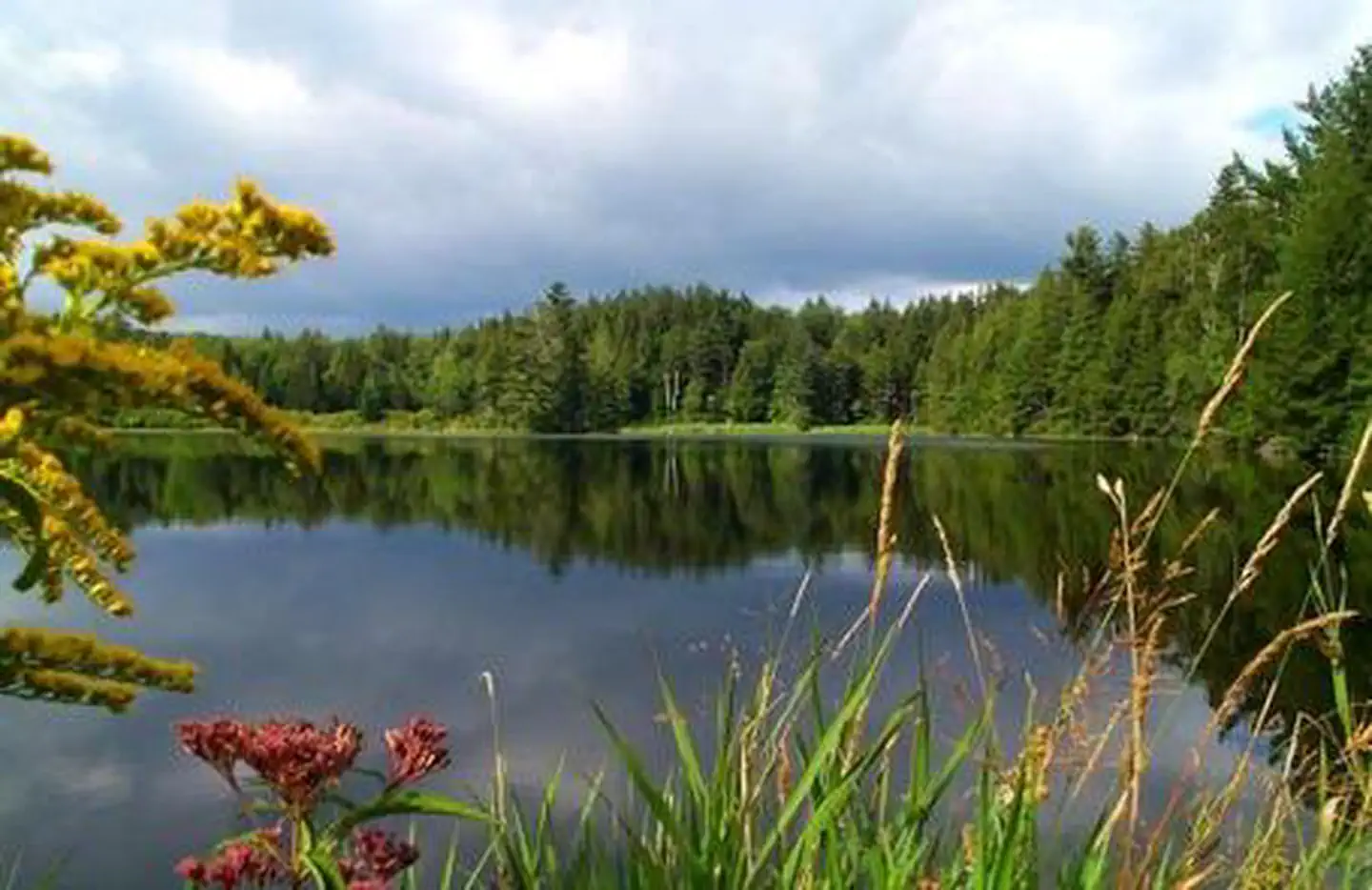
About This Trail
We don't have an editorial description for Lye Brook to Branch Pond Loop in our cache yet. The planning stats above (distance, elevation gain, estimated time, route type) come from the source listed on this trail.
For current conditions, closures, and route notes, check the official sources below — they're the authority for this trail, not us. Spot something we should add?
Trail Conditions
Trail Conditions
We have no current condition data for this trail. Check with the operator before you go, and submit a report below if you've been recently.
No recent condition reports. Be the first to share what you see on the trail.
Elevation Profile
Trail Details
- Route Type
- Loop
- Surface
- Dirt
Official sources & verification
We don't have curated agency sources for this trail in our cache yet. Outdoors is not the permitting authority — confirm conditions, permits, and access with the managing agency before you go. If you know who manages this trail, please tell us.
Reviews
No reviews yet
Be the first to share your experience and help others plan their visit.
Legacy import — verify before navigating
Path geometry came from our pre-launch legacy database. Routes have not yet been re-verified against the operator and may differ from the actual trail.
Nearby Trails
More trails near Lye Brook to Branch Pond Loop
Lye Brook Trail to Stratton Pond
Lye Brook Falls Trail
Equinox Mountain and Lookout Rock
PEW Trail
Spruce Peak via Long Trail (Appalachian Trail)
Bromley Mountain Via Long Trail (Appalachian Trail)
Stay nearby
Campgrounds near this trail
Similar length
Similar trails in Vermont
Killington Peak via Bucklin Trail
Vermont
Island Line Rail Trail
Vermont
The Long Trail
Vermont
Stowe Recreation Path
Vermont
Mount Abraham and Mount Ellen Loop
Vermont
Stratton Mountain and Stratton Pond Loop
Vermont