Moderate
2.7 mi
Distance
630 ft
Elev. Gain
1h 10m
Est. Time
0.0
0 Reviews
About This Trail
The trail has been temporarily closed due to COVID-19. The park's website has up to date information.
Trail Details
Out & Back
Route Type
Dirt
Surface
No Dogs
Dog Policy
Yes
Kid Friendly
No
Permit Required
Elevation Profile
Min:1,473 ft
Max:1,610 ft
192 ft
192 ft
Reviews
No reviews yet
Be the first to share your experience and help others plan their visit.
Trail Conditions
Trail Conditions
Unknown
Updated Unknown
No recent condition reports. Be the first to share what you see on the trail.
Nearby Trails
More trails near Lookout Point Trail [CLOSED]Aspen Valley Trail [CLOSED]
20.9 km
Difficult
Poopenaut Valley Trail [CLOSED]
3.4 km
Difficult
![Poopenaut Valley Trail [CLOSED]](https://www.nps.gov/common/uploads/structured_data/3C873CC3-1DD8-B71B-0B076FC2806DF140.jpg?width=800&quality=80)
Poopenaut Valley Trail [CLOSED]
3.4 km2.0
Difficult
Smith Peak Trail [CLOSED]
19.5 km
Difficult
Hetch Hetchy Trail to Rancheria Falls [CLOSED]
20.9 km
Moderate
Miguel Meadow to Lake Eleanor to Laurel Lake Loop [CLOSED]
40.2 km
Moderate
In this park
Other trails in Yosemite National Park

Half Dome
California
3.2 km1,463 mgain
Expert

Mirror Lake Loop
California
6.2 km30 mgain
Easy
Yosemite Falls Trail
California
4.8 km823 mgain
Difficult

Four Mile Trail
California
7.7 km975 mgain
Difficult
Upper Yosemite Falls Trail
California
11.6 km1,575 mgain
Difficult
Four Mile Trail
California
14.8 km2,058 mgain
Difficult
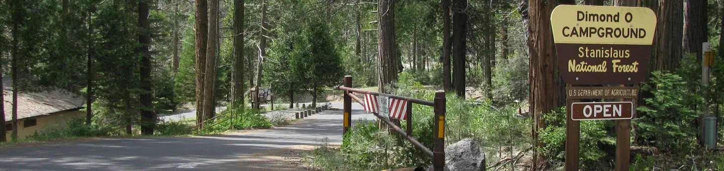
Stay nearby
Campgrounds near this trail

Similar length
