Status unknown — verify before visiting
We don't have current condition data for this trail. Check with the land manager before you go.
2.6 mi
Distance
843 ft
Elev. Gain
1h 15m
Est. Time
Loop
Route Type
Moderate
Difficulty
About This Trail
Imported descriptionTrail Conditions
Trail Conditions
We have no current condition data for this trail. Check with the operator before you go, and submit a report below if you've been recently.
No recent condition reports. Be the first to share what you see on the trail.
Elevation Profile
Trail Details
- Route Type
- Loop
- Surface
- Dirt
Official sources & verification
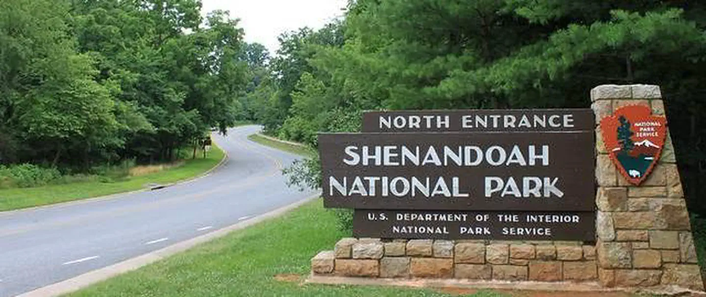
Managed by National Park Service
Source of truth
- National Park Service unit page
Alerts, conditions, and the unit's plan-your-visit page.
Verify by phone or mail
- Operator:540-999-3500
- Address:Shenandoah National Park, 3655 U.S. Highway 211 East · Luray, VA · 22835
Reviews
No reviews yet
Be the first to share your experience and help others plan their visit.
Legacy import — verify before navigating
Path geometry came from our pre-launch legacy database. Routes have not yet been re-verified against the operator and may differ from the actual trail.

Hawksbill Summit Trail
Cedar Run Falls Trail
Hawksbill Mountain, Franklin Cliffs, Big Meadows Horse Trail
Hawksbill Summit via Rock Spring Cabin Trail and Salamander Trail
Crescent Rock Overlook via Crescent Rock Trail and Limberlost Trail
Old Rag Fire Road, Weakley Hollow and Robertson Mountain Loop
In this park
Other trails in Shenandoah National Park
Stony Man via Appalachian Trail
Virginia
Rose River Trail
Virginia
South River Falls Trail
Virginia
Marys Rock via Appalachian Trail (North Approach)
Virginia
Little Stony Man Loop via Appalachian Trail
Virginia
Hawksbill Summit Trail
Virginia
Stay nearby
Campgrounds near this trail
 Reservable
Big Meadows Campground - Shenandoah (va)
3.3 mi away · VA
Reservable
Graves Mountain Farm Campground
5.5 mi away · VA
Reservable
Watercress Inn at Landon Farm
7.8 mi away · VA
Sawmill Cottage near Shenandoah National Park
7.8 mi away · VA
Reservable
Yogi Bear's Jellystone Park Luray
8.1 mi away · VA
Pass Mountain Hut
9.1 mi away · VA
Similar length
Similar trails in Virginia
Stony Man via Appalachian Trail
Virginia
Crabtree Falls Trail
Virginia
Rose River Trail
Virginia
Humpback Rocks Recreation Area
Virginia
Sharp Top Trail
Virginia
Lake Accotink Trail
Virginia