Status unknown — verify before visiting
We don't have current condition data for this trail. Check with the land manager before you go.
1.8 mi
Distance
302 ft
Elev. Gain
38m
Est. Time
Loop
Route Type
Easy
Difficulty
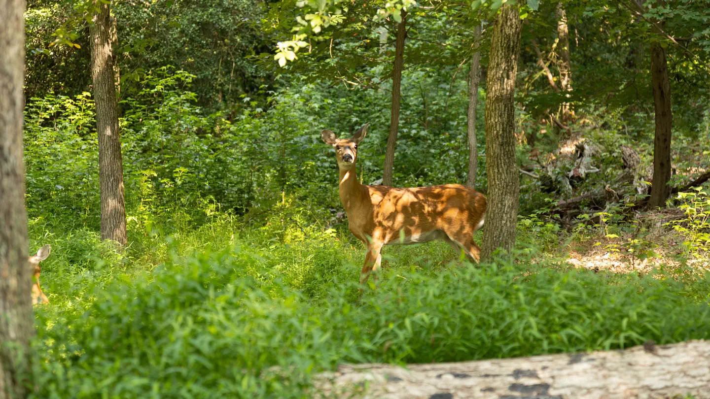
About This Trail
Imported descriptionTrail Conditions
Trail Conditions
We have no current condition data for this trail. Check with the operator before you go, and submit a report below if you've been recently.
No recent condition reports. Be the first to share what you see on the trail.
Elevation Profile
Trail Details
- Route Type
- Loop
- Surface
- Dirt
Official sources & verification
Managed by US Fish and Wildlife Service
Source of truth
- Patuxent Research Refuge — official page
Park unit page with alerts and visitor information.
Verify by phone or mail
- Address:MD
Reviews
No reviews yet
Be the first to share your experience and help others plan their visit.
Legacy import — verify before navigating
Path geometry came from our pre-launch legacy database. Routes have not yet been re-verified against the operator and may differ from the actual trail.
Nearby Trails
More trails near Cash Lake Loop Trail
Patuxent Wildlife Refuge Loop Trail
Washington, Baltimore and Annapolis Trail
Patuxent Research Refuge Forest Trail
Piney Orchard Loop
Piney Orchard Nature Preserve Duck Cove Pond Loop Trail
Schrom Hills Loop
In this park
Other trails in Patuxent Research Refuge
Stay nearby
Campgrounds near this trail
Similar length
Similar trails in Maryland
Cascade Falls Loop Trail
Maryland
Chimney Rock Trail from Headquarters
Maryland
Soapstone Trail Loop
Maryland
Weverton Cliffs
Maryland
Morgan Mill Trail
Maryland
Swallow Falls Canyon Trail
Maryland