Status unknown — verify before visiting
We don't have current condition data for this trail. Check with the land manager before you go.
27.8 mi
Distance
5,630 ft
Elev. Gain
10h 53m
Est. Time
Point to Point
Route Type
Expert
Difficulty
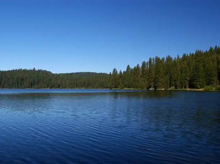
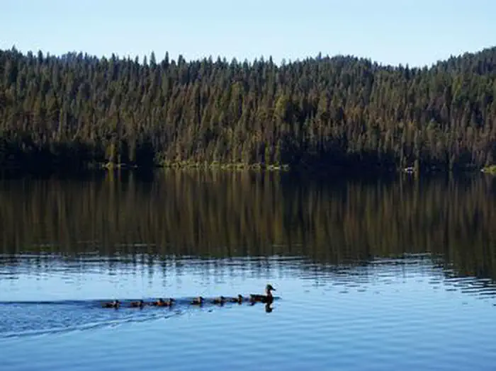
About This Trail
Imported descriptionTrail Conditions
Trail Conditions
We have no current condition data for this trail. Check with the operator before you go, and submit a report below if you've been recently.
No recent condition reports. Be the first to share what you see on the trail.
Elevation Profile
Trail Details
- Route Type
- Point to Point
- Surface
- Dirt
Official sources & verification
We don't have curated agency sources for this trail in our cache yet. Outdoors is not the permitting authority — confirm conditions, permits, and access with the managing agency before you go. If you know who manages this trail, please tell us.
Reviews
No reviews yet
Be the first to share your experience and help others plan their visit.
Legacy import — verify before navigating
Path geometry came from our pre-launch legacy database. Routes have not yet been re-verified against the operator and may differ from the actual trail.
Hunt context
This trail crosses hunting units
During hunting seasons, wear blaze orange and check regulations — see the Idaho hunting page

Herrick Reservoir to Horsethief Reservoir OHV Trail
Moondipper Hot Spring and Pine Burl Hot Spring via Middle Fork Payette River Trail
Hidden Lake and Lost Lake Trail
Rocky Canyon Hot Springs
One Spoon Trail
Willow Creek Trail to Skein Lake
Stay nearby
Campgrounds near this trail
Similar length
Similar trails in Idaho
Pettit and Toxaway Lakes Loop
Idaho
North Idaho Centennial Trail
Idaho
Alice Lake, Twin Lake, Edith Lake Loop
Idaho
Redfish Lake Trail
Idaho
Imogene Lake
Idaho
Warm River Rail-Trail
Idaho