Status unknown — verify before visiting
We don't have current condition data for this trail. Check with the land manager before you go.
2.1 mi
Distance
715 ft
Elev. Gain
59m
Est. Time
Loop
Route Type
Moderate
Difficulty
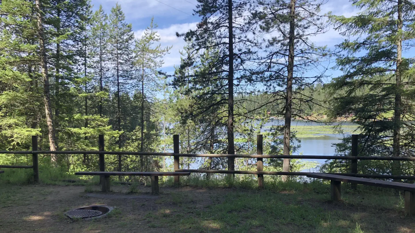
About This Trail
Imported descriptionTrail Conditions
Trail Conditions
We have no current condition data for this trail. Check with the operator before you go, and submit a report below if you've been recently.
No recent condition reports. Be the first to share what you see on the trail.
Elevation Profile
Trail Details
- Route Type
- Loop
- Surface
- Dirt
Official sources & verification
Managed by United States Forest Service
Managing agency
- United States Forest Service
Find offices, alerts, and current orders for this agency.
Verify by phone or mail
- Address:WA
Reviews
No reviews yet
Be the first to share your experience and help others plan their visit.
Legacy import — verify before navigating
Path geometry came from our pre-launch legacy database. Routes have not yet been re-verified against the operator and may differ from the actual trail.
Hunt context
This trail crosses hunting units
During hunting seasons, wear blaze orange and check regulations — see the Idaho hunting page

Trail 8, Penn, and Cave Trail Loop
Canfield Mountain Trail 3, Trail A, and Cave Loop
Canfield Mountain Trails 1562, D, and 3 Loop
West Canfield Butte via Trails 3, D, and 6 from North Nettleton Gulch Road
Canfield Mountain Trails 8, Penn, 7, D, A, and Cave Loop
Canfield Mountain Natural Area Loop
In this park
Other trails in Coeur d'Alene National Forest
Stevens Lakes Trail
Idaho
Marie Creek Trail
Idaho
Revett Lake
Idaho
English Point Yellow Loop Trail
Idaho
Trail 8, Penn, and Cave Trail Loop
Idaho
English Point Red Loop Trail
Idaho
Stay nearby
Campgrounds near this trail
Reservable
CdA Countryside
1.4 mi away · ID
Reservable
Kootenai County Fairgrounds RV Park
2.6 mi away · ID
Reservable
Tamarack RV Park And Vacation Cabins
2.7 mi away · ID
Reservable
Blackwell Island RV Park
4.3 mi away · ID
 Reservable
Mokins Bay Campground
5.5 mi away · ID
Reservable
Double J Ranch
5.5 mi away · ID
Similar length
Similar trails in Idaho

Tubbs Hill
Idaho

Mineral Ridge National Recreation Trail
Idaho
Cress Creek Trail
Idaho
Red Cliffs Nature Center Trail
Idaho
Old Wagon Loop to Spokane River
Idaho
Veterans Trail
Idaho