ModerateLoop
11.8 mi
Distance
2,051 ft
Elev. Gain
4h 27m
Est. Time
0.0
0 Reviews
About This Trail
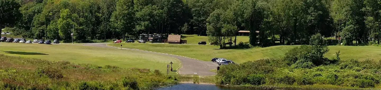
The state forest and park area is located in Union, Connecticut, off of Route 171. There are over 25 miles of hiking trails. Hikers are reminded that there are only 2 loops to the west of the park road. The trails to the east of the park road are not loops. There are trails and roads in certain areas. There are trail maps in the park.
Trail Details
Loop
Route Type
Dirt
Surface
Dogs Allowed (Leash Required)
Dog Policy
Yes
Kid Friendly
No
Permit Required
Elevation Profile
Min:206 ft
Max:291 ft
625 ft
625 ft
Reviews
No reviews yet
Be the first to share your experience and help others plan their visit.
Trail Conditions
Trail Conditions
Unknown
Updated Unknown
No recent condition reports. Be the first to share what you see on the trail.

Stay nearby
Campgrounds near this trail
Reservable
Thousand Trails Sturbridge
5.3 mi away · MA
Westville Recreation Area
6.1 mi away · MA
Reservable
NO CAMPING – Westville Recreation Area
6.1 mi away · MA
Reservable
Charlie Brown Campground
6.6 mi away · CT
Reservable
Pine Lake Rv Resort & Cottages sturbridge mass
6.6 mi away · MA
Reservable
Quinebaug Cove Campground
7.4 mi away · MA
Similar length
Similar trails in Connecticut
Mattabesett and Mount Higby Trail
Connecticut
14.3 km630 mgain
Moderate
Sleeping Giant Head Blue and Violet Loop Trail
Connecticut
12.9 km726 mgain
Difficult
Case Mountain Trail
Connecticut
9.8 km299 mgain
Moderate
Huntington State Park White, Blue and Green Loop Trail
Connecticut
12.4 km353 mgain
Moderate
Zoar Trail
Connecticut
9.8 km475 mgain
Moderate
Penwood State Park Trail
Connecticut
16.6 km542 mgain
Moderate