Status unknown — verify before visiting

We don't have current condition data for this trail. Check with the land manager before you go.
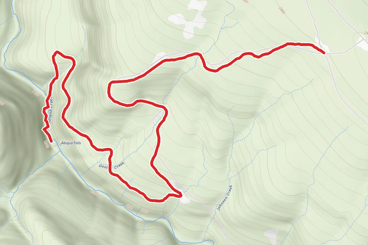
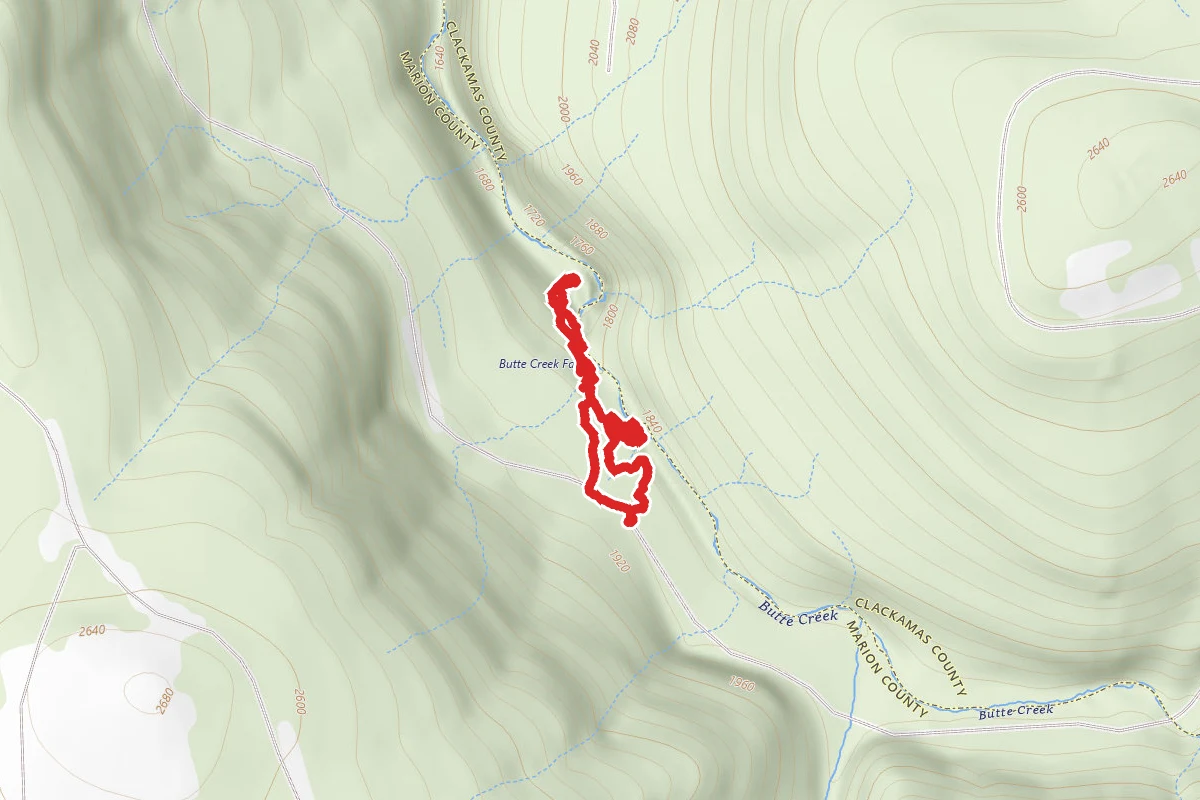
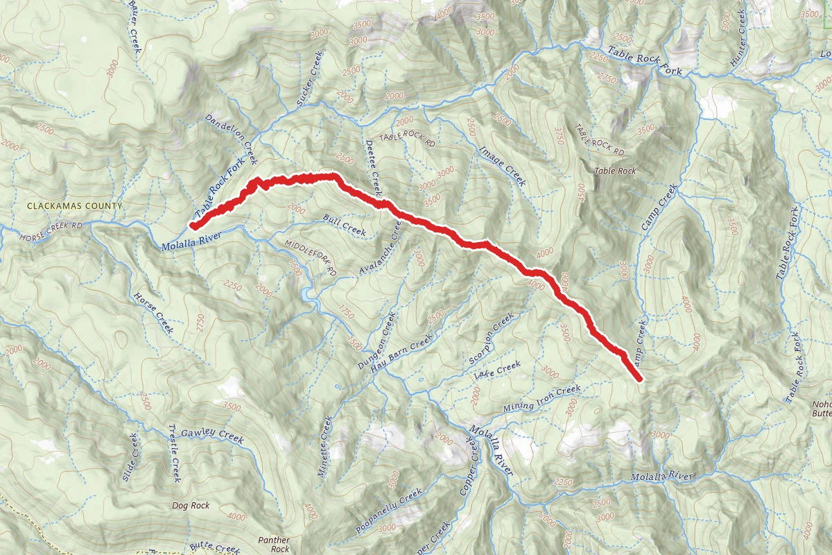
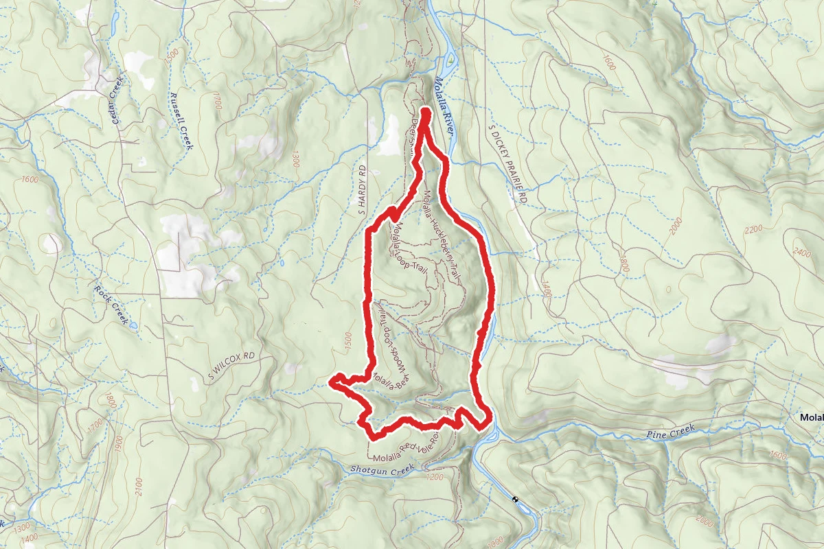
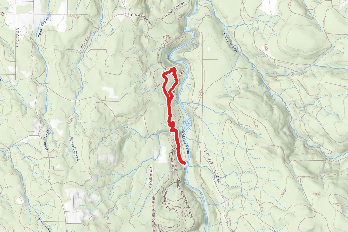
Abiqua Falls Trail route map
DifficultOut and Back

Abiqua Falls Trail

Scotts Mills, Oregon

5.3 mi

Distance

1,683 ft

Elev. Gain

2h 28m

Est. Time

Out & Back

Route Type

Difficult

Difficulty

About This Trail

Imported description
Parking: Parking is located in small nooks along the single lane dirt road. If parking where this page directs you, you’ll be walking along the road for the majority of the hike. If you have an SUV/4WD/something with high clearance, you can follow the mapped trail via car and get much closer to the trails actual start. The further down you go, the sketchier it gets. There is a big wash out and some huge craters about 3/4 of the way down the road. The road heads down hill. So, when you're leaving you'll be climbing out of the valley, and that washout with the craters is at a hairpin turn, so you can't get much of a run at it. Note: There is a new gate blocking the current starting point for this trail. However, you may leave your car and continue past the gate on foot. Here are some tips for this trail: 1. At the very end of the road, you'll notice a trail to your east located about 2 car lengths back from the gate (dead end). There will be a big black and white sign explaining that this is private land and to play it safe. 2. Shortly after that big sign, the trail will seem to split. One path has a fallen tree crossing the trail. The other path, to your right, looks well-traveled. 3. STAY TO YOUR LEFT. WALK OVER THE FALLEN TREE. Shortly after you cross over the log you will see an identical black and white sign. You'll also see a long knotted rope anchored to the base of a small tree. This is the trail you want to be on. Further down the correct trail, you'll get to a point where two large trees have fallen down parallel to one another, leading straight down to the river's edge. There is a rope which leads down the entire length of these logs. This is the easiest way down to the valley floor. Back at the Y, if you chose the trail to your right, you will see the following clues that you are on the wrong path: 1. There will be a nice clearing covered with short grass. This spot has a great view of the valley. The path leading to this point seems very well used. TURN AROUND YOU'RE ON THE WRONG PATH. 2. Shortly after the grass clearing, the trail will narrow down to a single path of loose sharp stones and dust. The topography will become very steep. The path will make several very quick switch backs. TURN AROUND YOU'RE ON THE WRONG PATH. 3. You will see a rope tied to a dead tree trunk about 4 feet above the ground where notch has been hacked into the tree trunk for the rope to nest in. TURN AROUND YOU'RE ON THE WRONG PATH. 4. The rope tied to this dead tree has no outer sheath and looks very old. It also happens to be just long enough to lead you to think you can make it to the next rope tied to a root, but you can't, and by that time you'll find it hard to retreat. TURN AROUND YOU'RE ON THE WRONG PATH. At this point you should turn around and head back. Don't be foolish! When users reached the second rope tied to the root they reported that it was nothing more than a 3 foot long nub. The entire area is made of loose jagged rocks anchored by nothing but dust. The trails leading down the falls are not marked at all.

Trail Conditions

Trail Conditions

Unknown

We have no current condition data for this trail. Check with the operator before you go, and submit a report below if you've been recently.

No recent condition reports. Be the first to share what you see on the trail.

Elevation Profile

Min:394 ft
Max:740 ft
513 ft
513 ft
394 ft509 ft625 ft740 ft0.0 mi1.3 mi2.7 mi4.0 mi5.3 mi

Trail Details

Route Type
Out & Back
Surface
Dirt

Official sources & verification

We don't have curated agency sources for this trail in our cache yet. Outdoors is not the permitting authority — confirm conditions, permits, and access with the managing agency before you go. If you know who manages this trail, please tell us.

Reviews

No reviews yet

Be the first to share your experience and help others plan their visit.

Legacy import — verify before navigating

Path geometry came from our pre-launch legacy database. Routes have not yet been re-verified against the operator and may differ from the actual trail.

Hunt context

This trail crosses hunting units

During hunting seasons, wear blaze orange and check regulations — see the Oregon hunting page

Spot an error in our data on Abiqua Falls Trail?