Explore parks
2,085 parks
Bloody Shins Trail System
Nevada
Overview:The Bloody Shins Trail System offers dozens of multi-use trails for mountain biking, horseback riding…
Blue Cloud Camping Area
Arizona
Each fall, winter, and spring seasonal visitors come to the Blue Cloud Camping Area located off of California …
Blue Creek Wilderness Study Area
Arizona
The Blue Creek WSA is located in the southwestern portion of New Mexico and is dominated by a volcanic fault b…
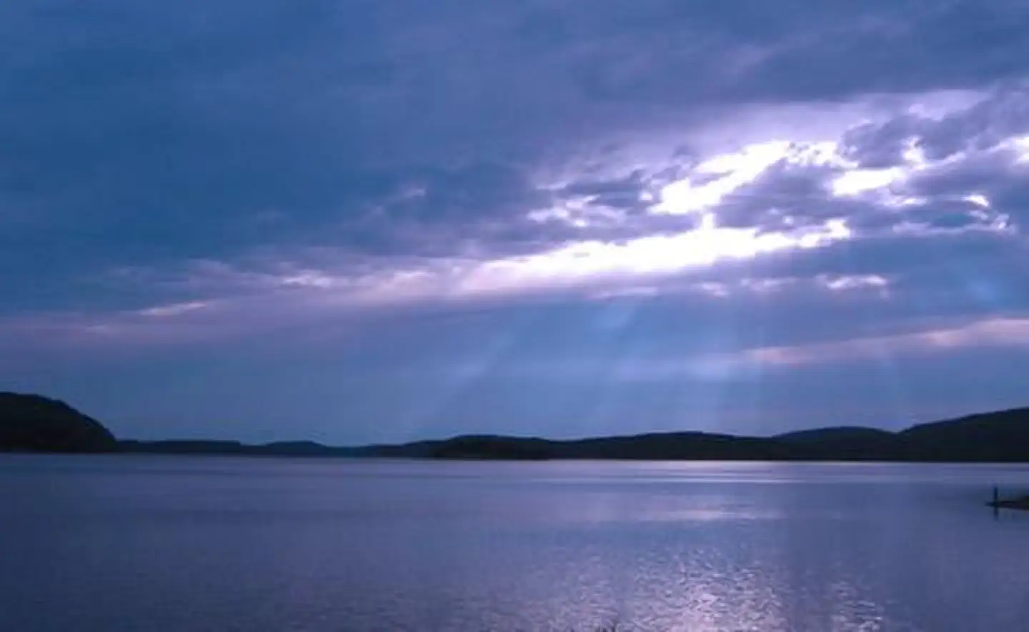
Blue Mountain Lake
Arkansas
Located in the shadow of Mt. Magazine, Arkansas? highest mountain, Blue Mountain Lake offers many recreational…
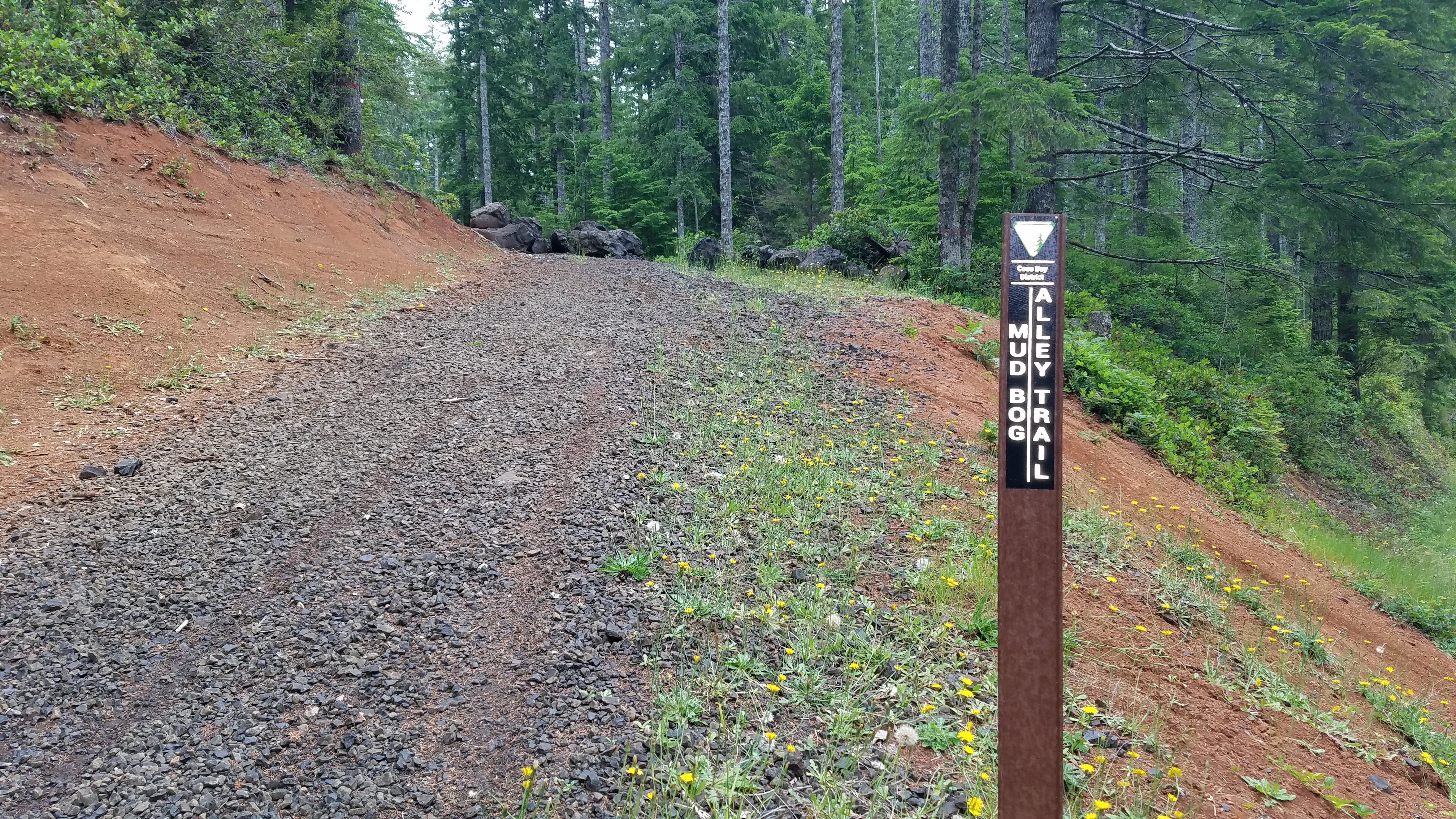
Blue Ridge Trail System
Oregon
Ten miles of Easiest to More Difficult trails and gravel roads open to Class III (motorcycles) vehicles with O…

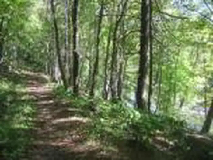
Blue River Lake
Oregon
This scenic 1,240 acre lake with its many miles of forested shoreline provides multiple outdoor recreational o…

Bluestem Lake
Kansas
Bluestem Lake, NE is a State Recreation Area located just 2.5 miles west of Sprague, Nebraska and about 20 mil…

Bluestone Lake
West Virginia
Bluestone Dam spans the New River, forming Bluestone Lake, the third largest lake in West Virginia. With a 2,0…
Bluestone National Scenic River
West Virginia
The Bluestone River and the rugged and ancient gorge it has carved is a richly diverse and scenic area of the …
Blythe Intaglios
Arizona
There are a total of six distinct figures in three locations, including a human figure at each location and an…
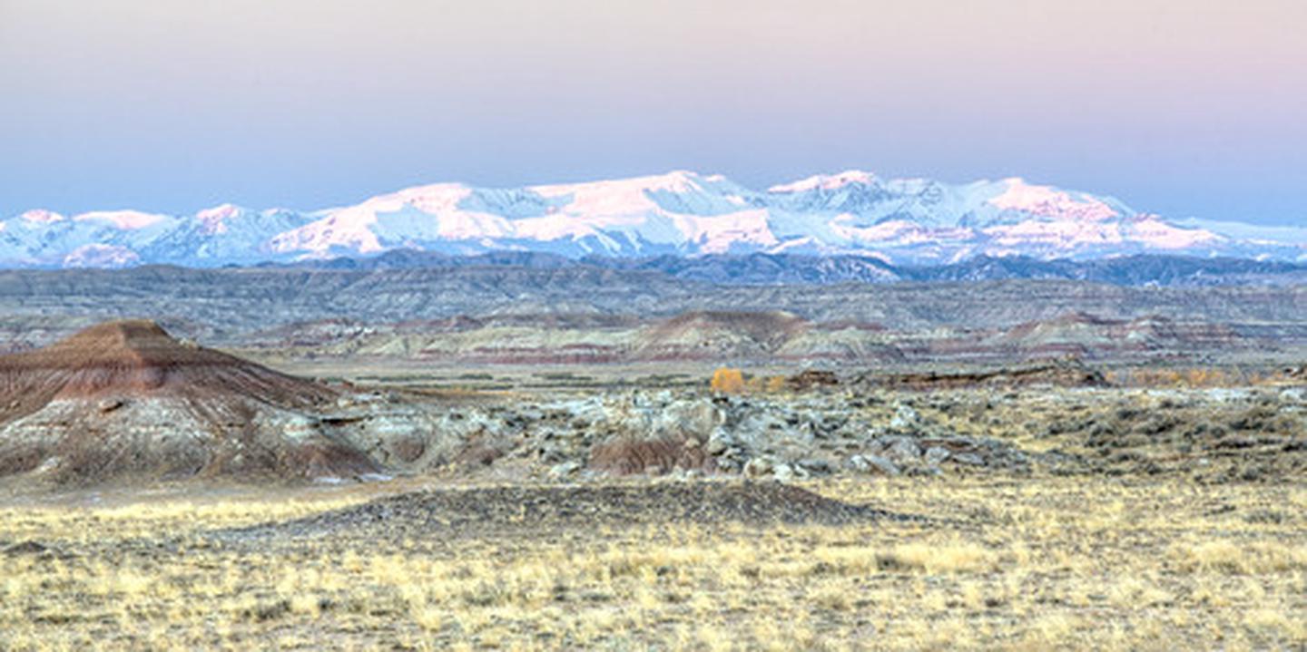
Bobcat Draw Badlands WSA
Wyoming
The Bobcat Draw Badlands Wilderness Study Area (WSA) encompasses 17,150 acres of BLM-administered land and 1,3…
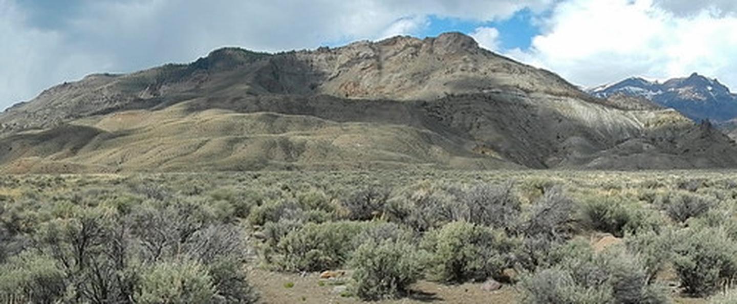
Bobcat-Houlihan Trail
Wyoming
The picturesque Bobcat/Houlihan Trailhead is a popular trailhead surrounded by the magnificent Absaroka Mounta…

Boca Reservoir
California
Boca Dam and Reservoir are features of the Truckee Storage Project. The reservoir is on the Little Truckee Riv…
Bocco Mountain
Colorado
Bocco Mountain Recreation Area is a small upland riding area with fantastic scenery.There are 18 miles of sing…
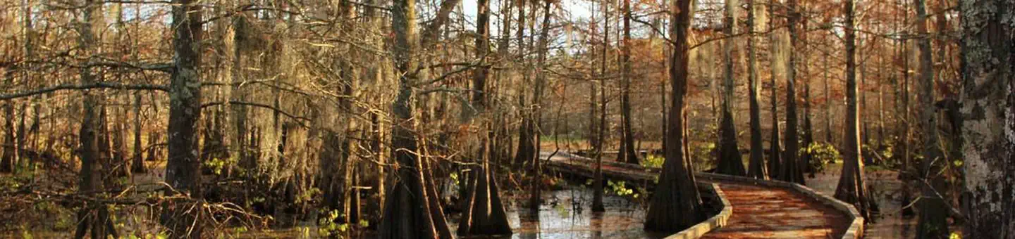
Bogue Chitto National Wildlife Refuge
Mississippi
Bogue Chitto National Wildlife Refuge, established in 1980, straddles the borders of Louisiana and Mississippi…
Bolivar Dam
Ohio
Near the Football Hall of Fame in Canton, a state-operated historical facility, Fort Laurens, is nearby.
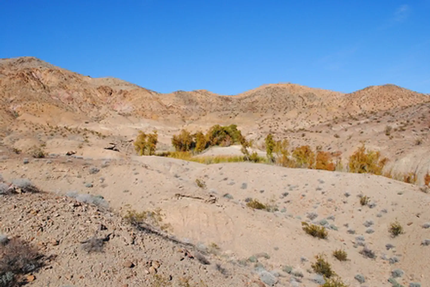
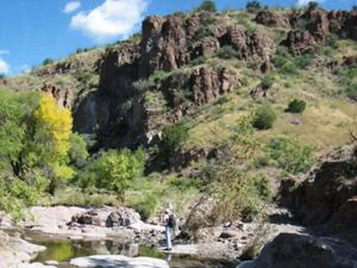
Bonanza Springs Watchable Wildlife Area
Arizona
This is one of the few natural watering areas for wildlife within the Mojave Desert. It is tucked into a beau…
Bonnet Carre Spillway
Louisiana
Over the years, the Bonnet Carre Spillway has developed into an extensively used outdoor recreation area with …
Bonneville Point
Idaho
Stand in the same spot where Captain Benjamin Bonneville and his expedition party overlooked the valley he nam…
Bonneville Salt Flats Special Recreation Management Area (SRMA)
Idaho
The Bonneville Salt Flats are one of Earth's most unique landforms. The salt flats are about 12 miles long and…
Book Cliffs Mountain Browse
Utah
The topography is a gentle rolling ridge top which gradually slopes downhill to the northeast.

Booker T Washington National Monument
Virginia
Booker T. Washington was born a slave in April 1856 on the 207-acre farm of James Burroughs. After the Civil W…
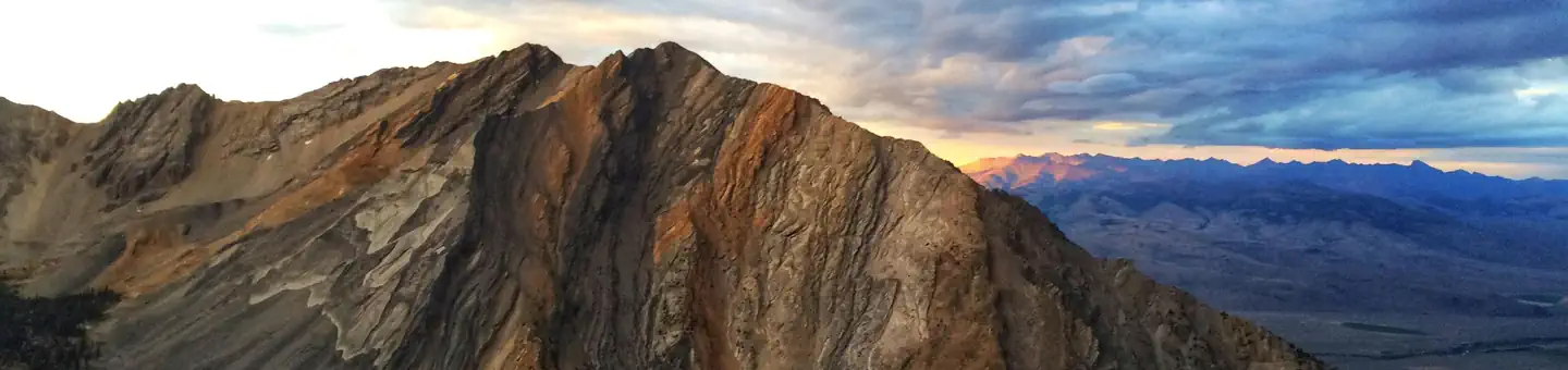
Borah Peak Wilderness Study Area
Idaho
In Idaho, BLM manages over 3,000 acres of public lands in the Borah Peak Wilderness Study Area. This steep wes…
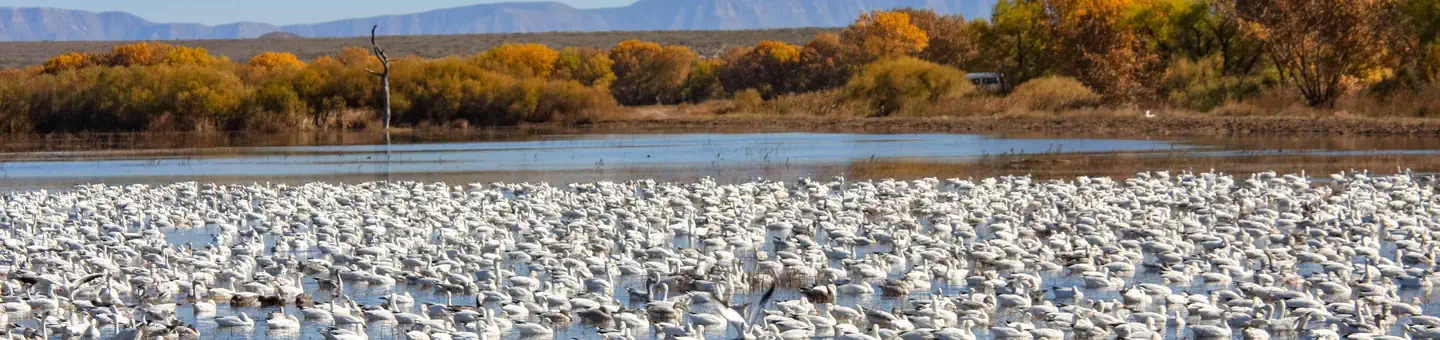
Bosque del Apache National Wildlife Refuge
New Mexico
Bosque del Apache National Wildlife Refuge, located in San Antonio, Socorro County, New Mexico, is one of over…