


Official sources & verification
Managed by National Recreation Area
Source of truth
- Agency source page
The page our published rules and notes are derived from.
Managing agency
- National Recreation Area
Find offices, alerts, and current orders for this agency.
Verify by phone or mail
- Operator:(508) 278-2511
- Address:MA
About
Imported descriptionSource: recreation.gov
From Wikipedia
Source: Wikipedia — text licensed CC BY-SA 4.0. Verify alerts and operational details with the managing agency below.
Reviews
No reviews yet
Be the first to share your experience and help others plan their visit.
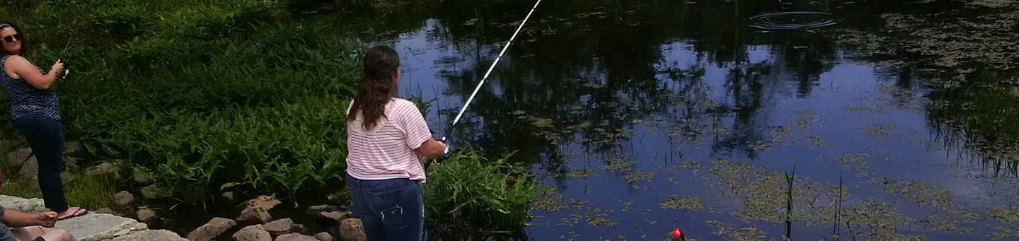
Hunting in this park
Hunting is generally prohibited in this National Park Service unit
Verify current park-specific rules with the National Park Service before planning any hunt. See NPS regulations
Within ~100 miles
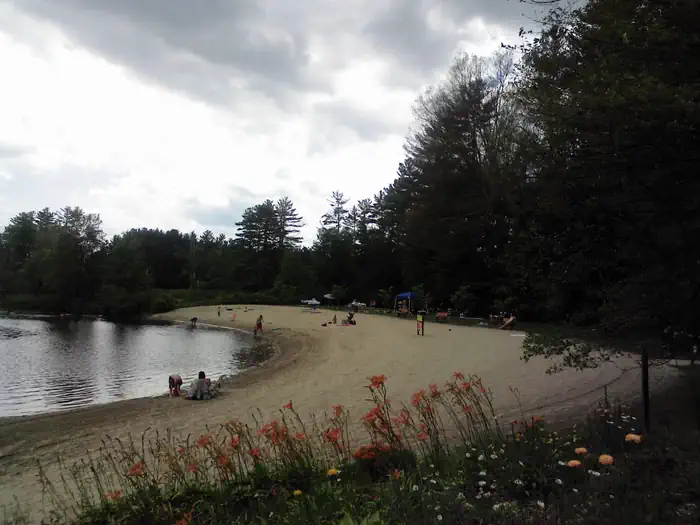
Parks near West Hill Dam
John H. Chafee Blackstone River Valley National Heritage Corridor
Massachusetts

Hodges Village Dam
Massachusetts
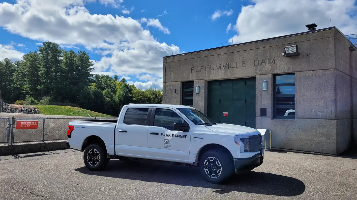
Buffumville Lake
Massachusetts
West Thompson Lake
Rhode Island
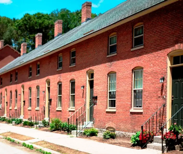
Blackstone River Valley National Historical Park
Rhode Island
Roger Williams National Memorial
Rhode Island
Same state
More parks in Massachusetts
Adams National Historical Park
Massachusetts
Assabet River National Wildlife Refuge
Massachusetts

Barre Falls Dam
Massachusetts

Birch Hill Dam
Massachusetts
Boston African American National Historic Site
Massachusetts
Boston Harbor Islands National Recreation Area
Massachusetts
Boston National Historical Park
Massachusetts
Cape Cod National Seashore
Massachusetts