No photos yet
Official sources & verification
Managed by National Recreation Area
Source of truth
- Agency source page
The page our published rules and notes are derived from.
Managing agency
- National Recreation Area
Find offices, alerts, and current orders for this agency.
Verify by phone or mail
- Operator:530-257-0456
- Email:BLM_CA_Web_EL@blm.gov
- Address:OR
About
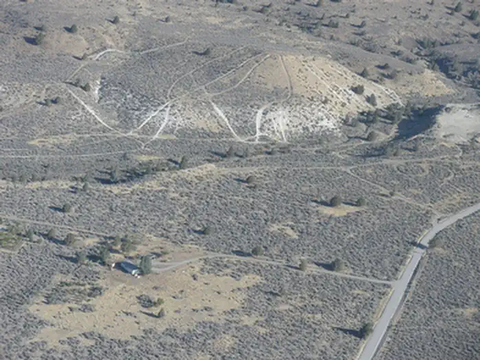
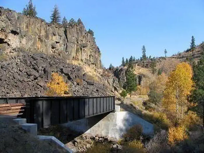
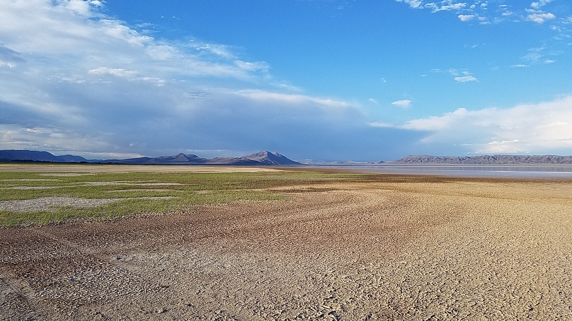
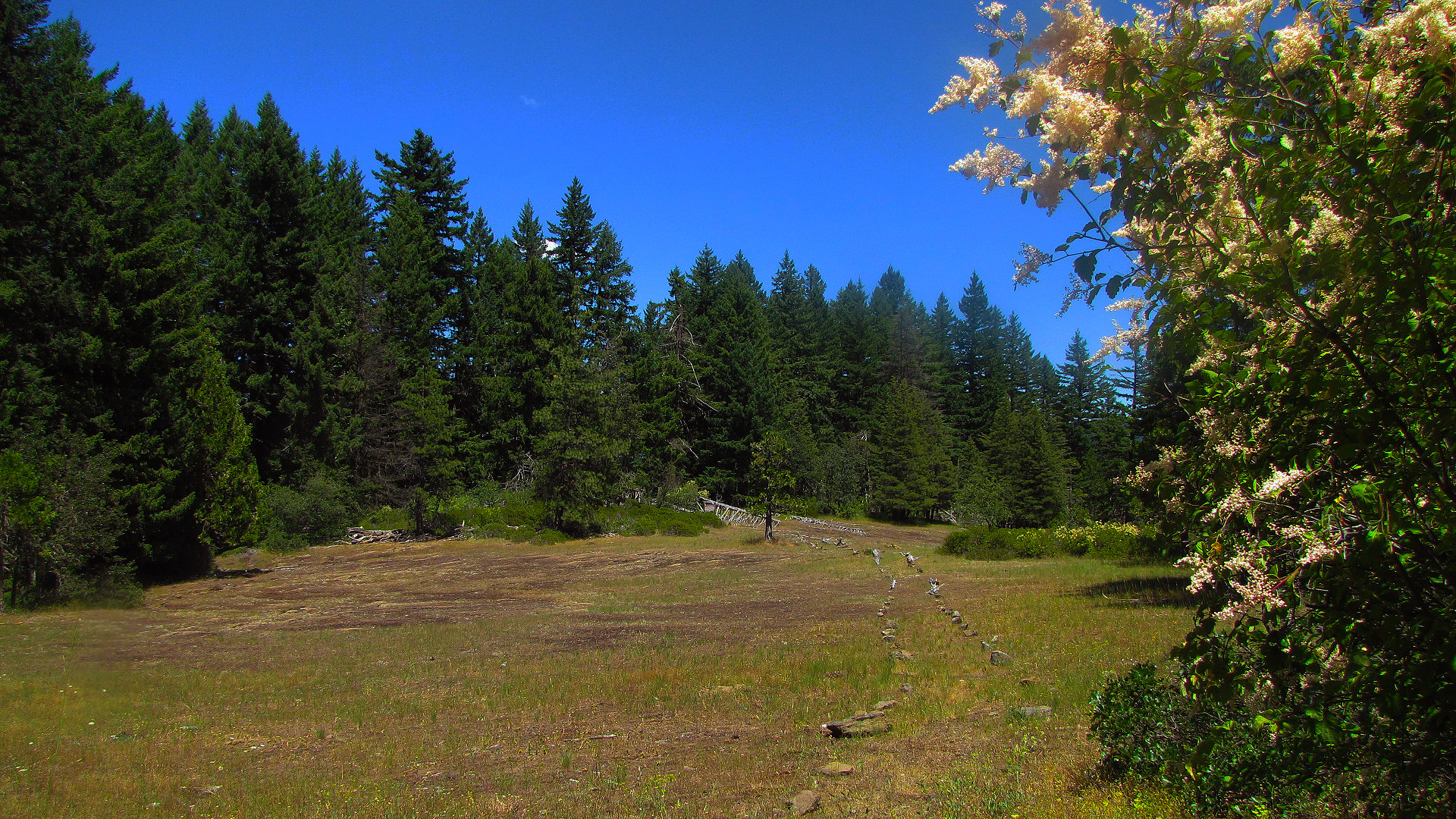
Imported descriptionThe Tunnison Mountain WSA is located in Lassen County, California. The WSA contains 19,884 acres of BLM-administered land and 553 acres of private land that is located in 13 parcels, varying in size from 10 to 160 acres.
The WSA is located on the eastern edge of the transition area between the wooded slopes of the Cascade Range and the western edge of the more arid Great Basin. It is approximately 3.5 miles wide by 10 miles long. Elevations vary from 4,200 to 6,400 feet. Three topographical features dominate the WSA: Horse Lake Mountain, a 5.5-mile-long north-south ridge in the northern half of the WSA; Tunnison Mountain, a 4.5-mile-long northwest-southeast ridge in the southern half of the WSA; and Willow Creek Canyon, a 50- to 200-foot-deep canyon that flows 6.5 miles west to east through the WSA. Ponderosa and Jeffery pines grow in the southern end of the WSA south of Willow Creek, while the majority of the WSA is dominated by shrubs, grasses, and scattered juniper. Vegetation also includes isolated patches of mountain mahogany at the higher elevations. The riparian vegetation along Willow Creek includes sedges, grasses, and occasional willows.
Source: recreation.gov
Reviews
No reviews yet
Be the first to share your experience and help others plan their visit.
Hunting in this park
Hunting is generally prohibited in this National Park Service unit
Verify current park-specific rules with the National Park Service before planning any hunt. See NPS regulations
Within ~100 miles
Parks near Tunnison Mountain
Nat'l Recreation Area
Park
Hwy 139 Antelope Pit
Oregon
recreation area
Park
Rice Canyon Off-Highway Vehicle Area
Oregon
recreation area
Park
Eagle Lake Field Office
Oregon
Nat'l Recreation Area
Park
Bizz Johnson National Recreation Trail
Oregon
recreation area
Park
Hobo Camp Day Use Area
Oregon
Nat'l Recreation Area
Park
Byers Pass
Oregon
Same state
More parks in Oregon

Featured
National Park
Park
Crater Lake National Park
Oregon
286 sq mi
Featured
National Forest
Park
Mt. Hood National Forest
Oregon
1,667 sq mi
Nat'l Recreation Area
Park
Agate Reservoir
Oregon
recreation area
Park
Agency Lake Ranch
Oregon
Nat'l Recreation Area
Park
Alvord Desert
Oregon

wildlife refuge
Park
Ankeny National Wildlife Refuge
Oregon
Nat'l Recreation Area
Park
Baker Cypress Trail
Oregon
Nat'l Recreation Area
Park
Bandon Marsh National Wildlife Refuge
Oregon
Spot an error in our data on Tunnison Mountain?