Nat'l Recreation Area
Official sources & verification
Managed by National Recreation Area
Source of truth
- Agency source page
The page our published rules and notes are derived from.
Managing agency
- National Recreation Area
Find offices, alerts, and current orders for this agency.
Verify by phone or mail
- Operator:(575) 525-4300
- Email:BLM_NM_LCDO_Mail@blm.gov
- Address:NM
About
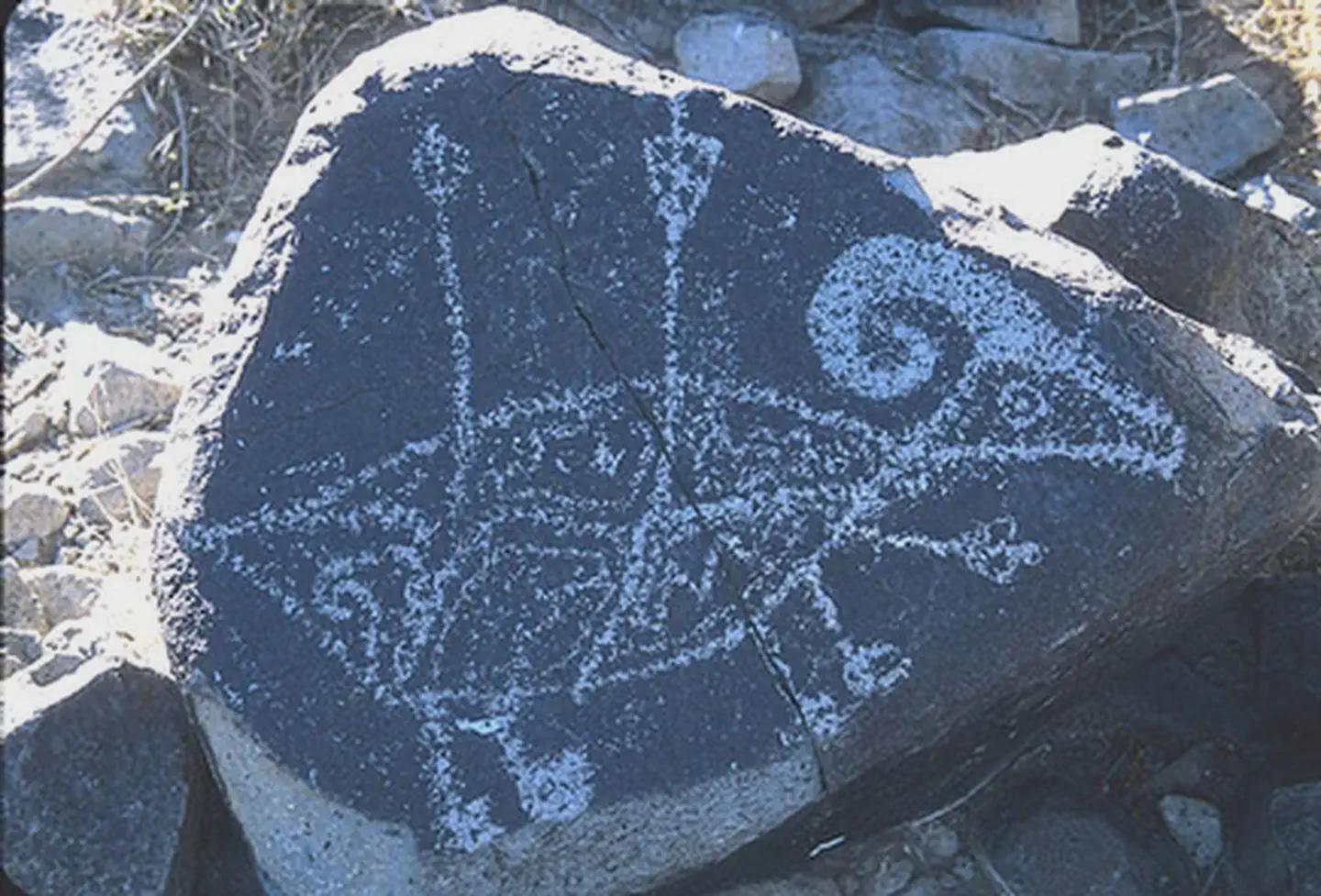
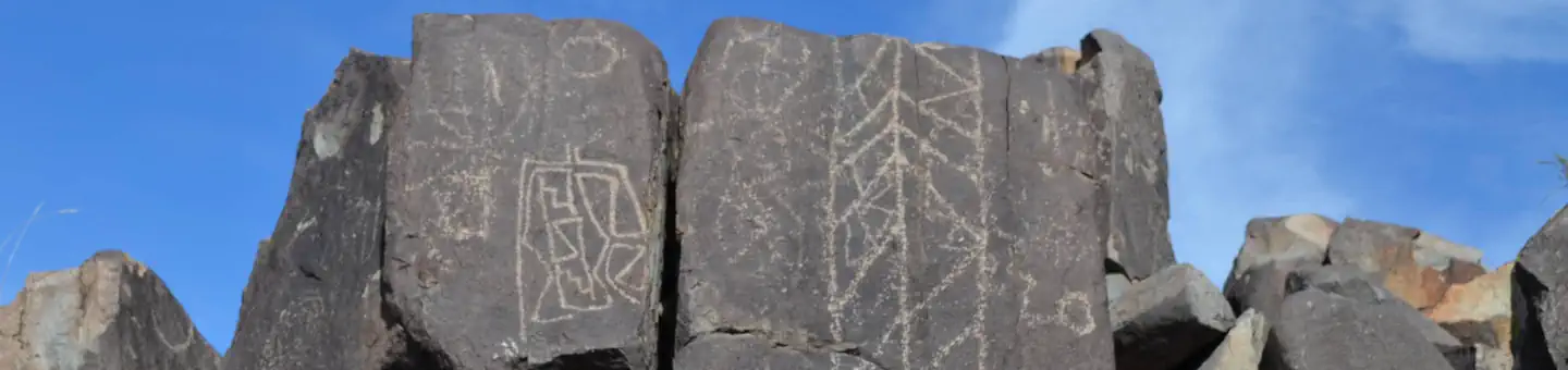
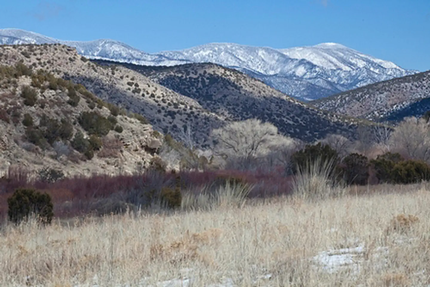
Imported descriptionOverviewThe Three Rivers Petroglyphs are outstanding examples of prehistoric Jornada Mogollon rock art. The basaltic ridge rising above the Three Rivers Valley contains over 21,000 petroglyphs, including masks, sunbursts, wildlife, handprints, and geometric designs. The number and concentration of petroglyphs make this one of the largest and most interesting rock art sites in the Southwest. A rugged 0.5-mile trail (Petroglyph Trail) begins at the visitor shelter and links many of the most interesting petroglyphs. Another short trail (Village Trail) begins on the east side of the picnic area and leads to a partially excavated prehistoric village.The Three Rivers Petroglyph Site is one of the few locations in the Southwest set aside solely because of its rock art. It is also one of the few sites giving visitors such direct access to petroglyphs. The number and concentration of petroglyphs here make it one of the largest and most interesting petroglyphs sites in the Southwest. More than 21,000 glyphs of birds, humans, animals, fish, insects and plants, as well as numerous geometric and abstract designs are scattered over 50 acres of New Mexico's northern Chihuahuan Desert. The petroglyphs at Three Rivers, dating back to between about 200-1450 AD, were created by Jornada Mogollon people who used stone tools to remove the dark patina on the exterior of the rock. A small pithouse is nearby and Sierra Blanca towers above to the east. A detailed petroglyph guide is available at the Three Rivers Petroglyph Site.
Source: recreation.gov
From Wikipedia
There are over 21,000 petroglyphs at the Three Rivers Petroglyph Site at Three Rivers, New Mexico, located midway between Tularosa and Carrizozo in Otero County on Highway 54. Many of the petroglyphs can be easily viewed from a trail open to the public which winds through the rocks for about one mile. The petroglyphs are thought to be the product of the Jornada Mogollon people between about 1000 and 1400 AD. The site is protected and maintained by the Bureau of Land Management.
Source: Wikipedia — text licensed CC BY-SA 4.0. Verify alerts and operational details with the managing agency below.
Reviews
No reviews yet
Be the first to share your experience and help others plan their visit.
Hunting in this park
Hunting is generally prohibited in this National Park Service unit
Verify current park-specific rules with the National Park Service before planning any hunt. See NPS regulations
Within ~100 miles
Parks near Three Rivers Petroglyph Site
Nat'l Recreation Area
Park
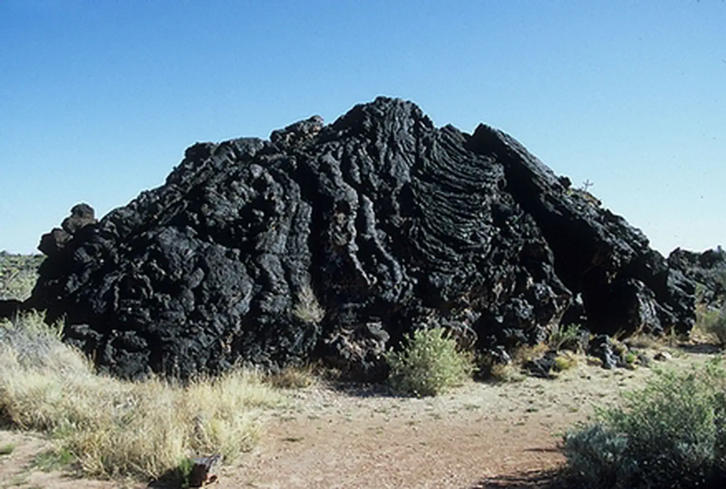
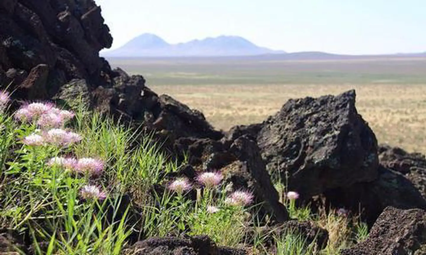
Carrizozo Lava Flow Wilderness Study Area
New Mexico
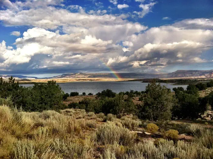
Nat'l Recreation Area
Park
Valley of Fires
New Mexico
National Forest
Park
Lincoln National Forest
New Mexico
1,725 sq mi
Nat'l Recreation Area
Park
Little Black Peak Wilderness Study Area
New Mexico
Nat'l Recreation Area
Park
Fort Stanton-Snowy River Cave National Conservation Area
New Mexico
Nat'l Recreation Area
Park
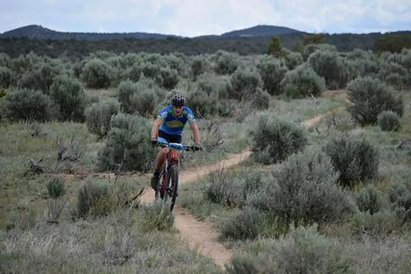
Rio Bonito Petroglyph National Recreation Trail
New Mexico
Same state
More parks in New Mexico
Featured
National Forest
Park
Gila National Forest
New Mexico
5,190 sq mi
Nat'l Recreation Area
Park
Abiquiu Lake
New Mexico
Nat'l Recreation Area
Park
Aden Hills Off-Highway Vehicle Area
New Mexico
Nat'l Recreation Area
Park
Aden Lava Flow Wilderness
New Mexico
Nat'l Recreation Area
Park
Aden Lava Flow Wilderness Study Area
New Mexico
Nat'l Recreation Area
Park
Ah-Shi-Sle-Pah Wilderness
New Mexico
Nat'l Recreation Area
Park
Alien Run Mountain Bike Trail
New Mexico
Nat'l Recreation Area
Park
Alkali Lake OHV Area
New Mexico
Spot an error in our data on Three Rivers Petroglyph Site?