No photos yet
Official sources & verification
Managed by National Recreation Area
Source of truth
- Rio Bonito Petroglyph National Recreation Trail — official page
Operator-published page with current visitor information.
- Agency source page
The page our published rules and notes are derived from.
Managing agency
- National Recreation Area
Find offices, alerts, and current orders for this agency.
Verify by phone or mail
- Operator:575-627-0272
- Address:NM
About
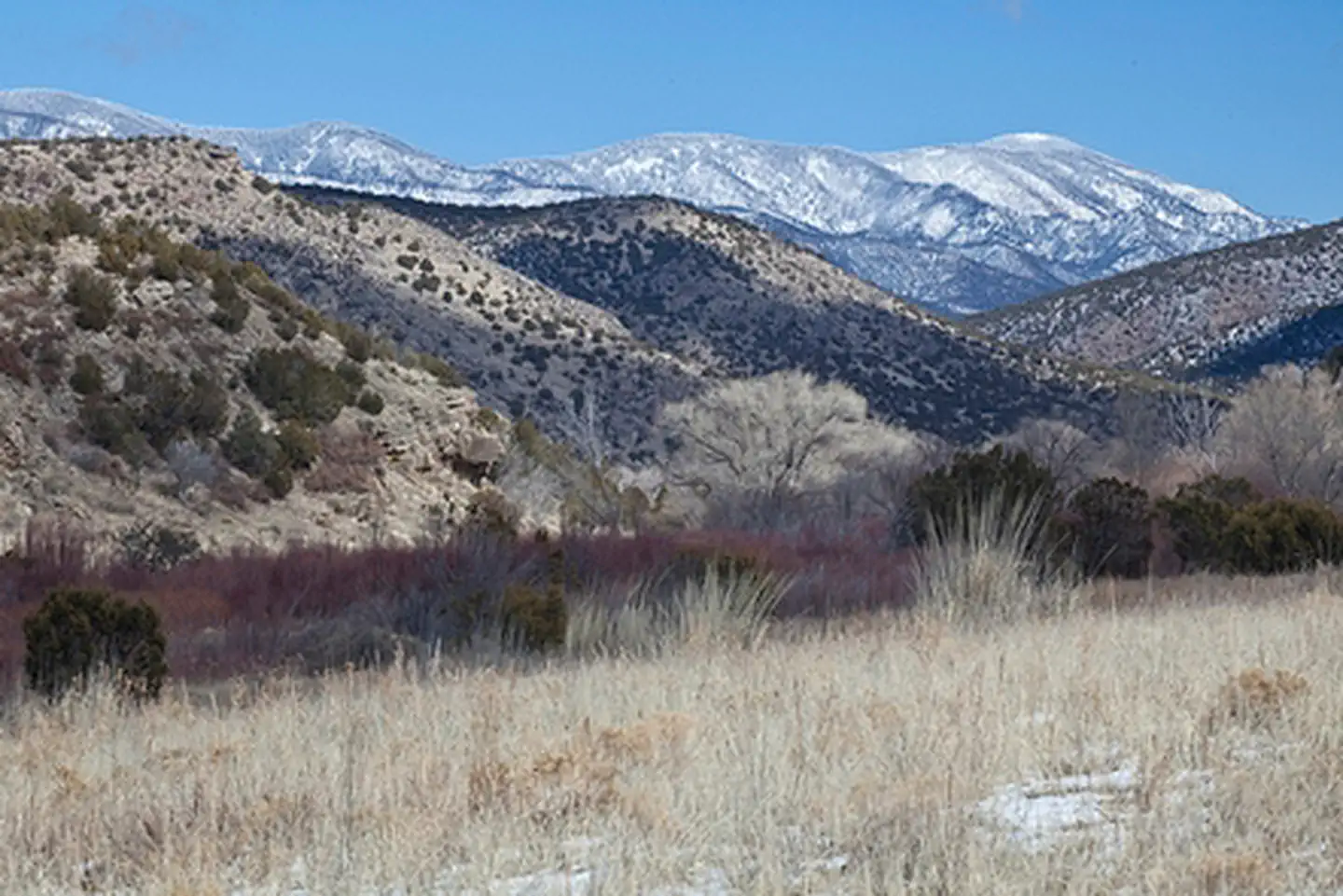
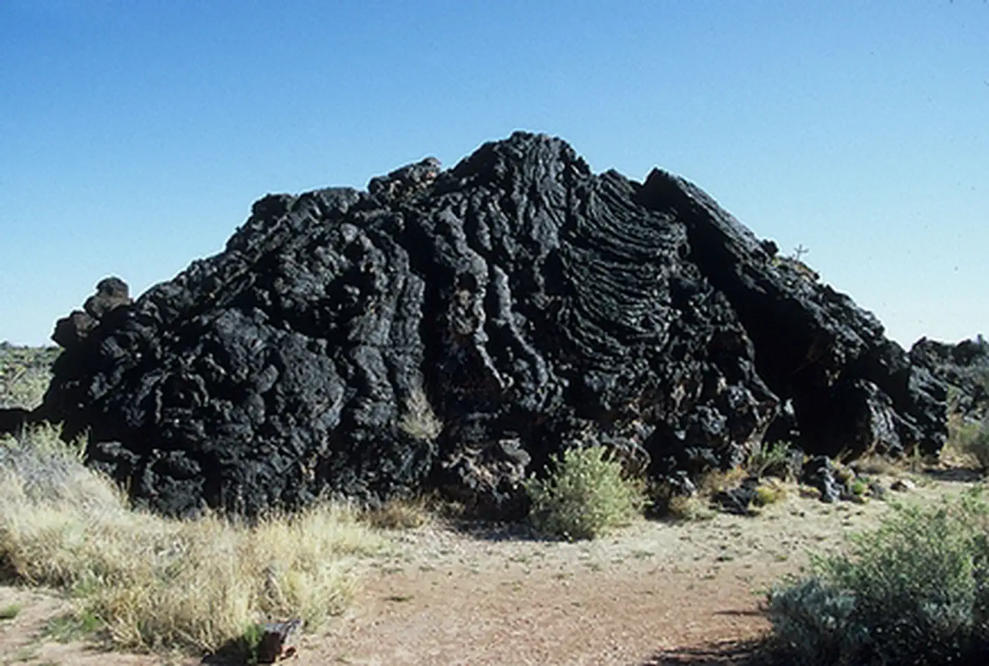
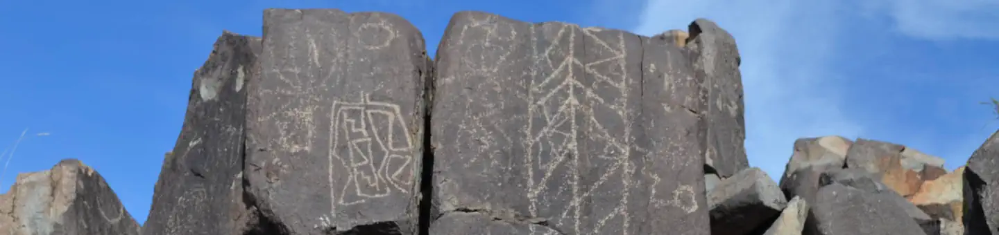
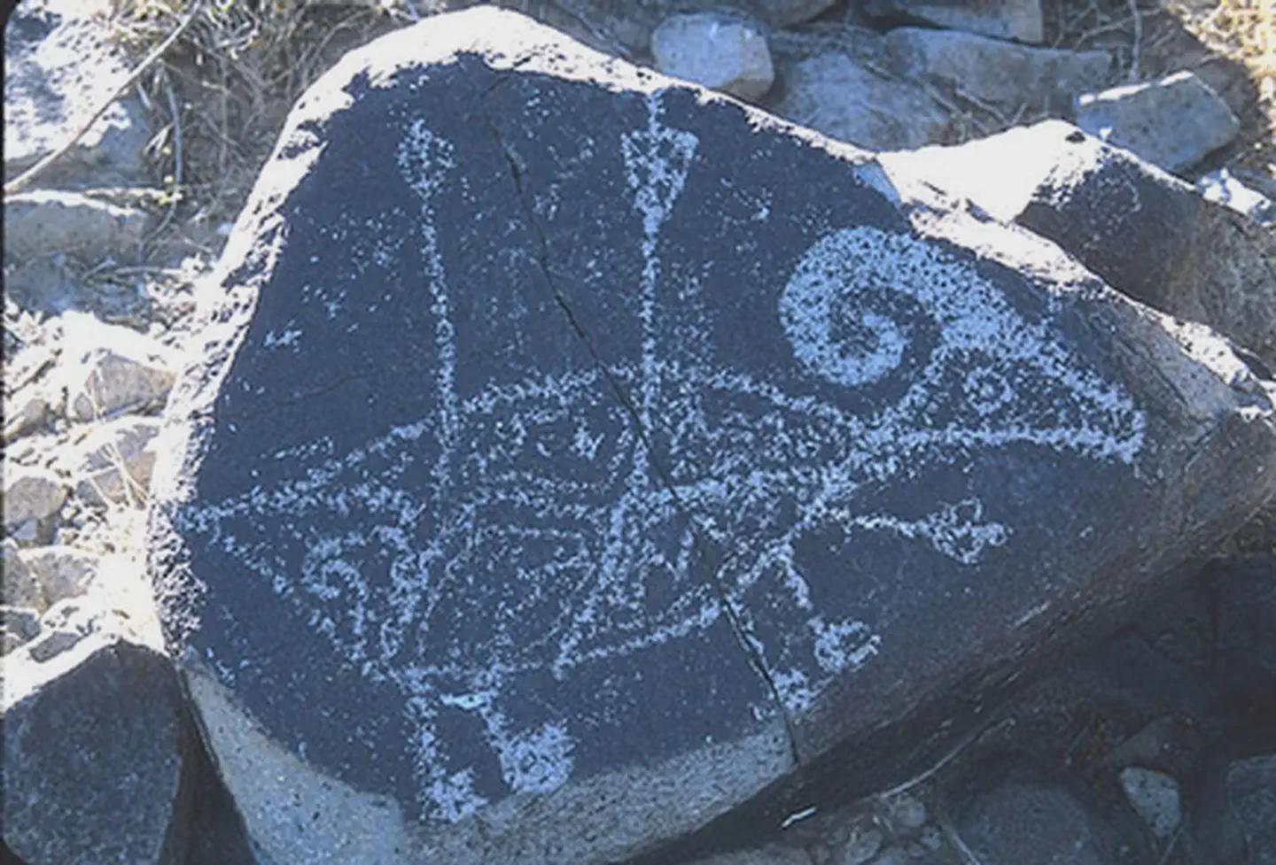
Imported descriptionThe Rio Bonito Petroglyph National Recreation Trail is an easy-to-moderate excursion on a 2 1/2 mile loop running up the river from the trailhead to the Petroglyph Rock where visitors of another time left images of their Water God. Easy river access to Bonito Creek and its towering cottonwood, walnut, and oak trees. Trout fishing is good in the spring but creek dries up in summer. The trail can be reached from NM 220, west of the Sierra Blanca Regional Airport. Follow the highway signs stating "Upper Rio Bonito" to the bottom of the hill and turn left for approximately one mile until you reach the trailhead (high-clearance vehicles are recommended). The loop trail is approximately 2.1 miles in total length and is easy to moderate hiking with a few hills and areas with loose footing. Plan to spend approximately one hour on the trail.
Source: recreation.gov
Reviews
No reviews yet
Be the first to share your experience and help others plan their visit.
Hunting in this park
Hunting is generally prohibited in this National Park Service unit
Verify current park-specific rules with the National Park Service before planning any hunt. See NPS regulations
Within ~100 miles
Parks near Rio Bonito Petroglyph National Recreation Trail
Nat'l Recreation Area
Park
Fort Stanton-Snowy River Cave National Conservation Area
New Mexico
Nat'l Recreation Area
Park
Valley of Fires
New Mexico
Nat'l Recreation Area
Park
Carrizozo Lava Flow Wilderness Study Area
New Mexico
Nat'l Recreation Area
Park
Little Black Peak Wilderness Study Area
New Mexico
Nat'l Recreation Area
Park
Three Rivers Petroglyph Site
New Mexico
recreation area
Park
Two Rivers Dam
New Mexico
Same state
More parks in New Mexico
Featured
National Forest
Park
Gila National Forest
New Mexico
5,190 sq mi
Nat'l Recreation Area
Park
Abiquiu Lake
New Mexico
Nat'l Recreation Area
Park
Aden Hills Off-Highway Vehicle Area
New Mexico
Nat'l Recreation Area
Park
Aden Lava Flow Wilderness
New Mexico
Nat'l Recreation Area
Park
Aden Lava Flow Wilderness Study Area
New Mexico
Nat'l Recreation Area
Park
Ah-Shi-Sle-Pah Wilderness
New Mexico
Nat'l Recreation Area
Park
Alien Run Mountain Bike Trail
New Mexico
Nat'l Recreation Area
Park
Alkali Lake OHV Area
New Mexico
Spot an error in our data on Rio Bonito Petroglyph National Recreation Trail?