Nat'l Recreation Area
Official sources & verification
Managed by National Recreation Area
Source of truth
- Agency source page
The page our published rules and notes are derived from.
Managing agency
- National Recreation Area
Find offices, alerts, and current orders for this agency.
Verify by phone or mail
- Operator:602-867-5400
- Email:blm_az_pdoweb@blm.gov
- Address:AZ
About
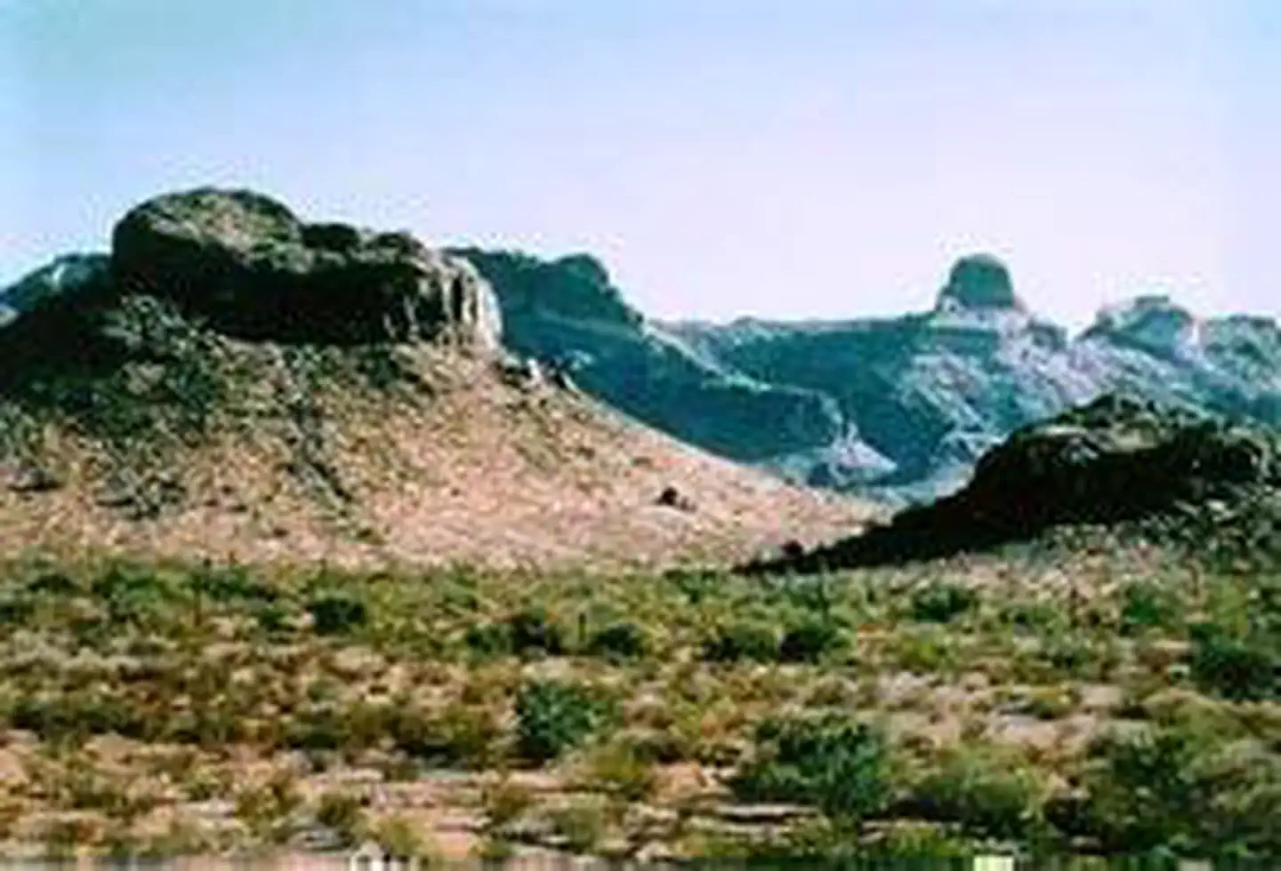
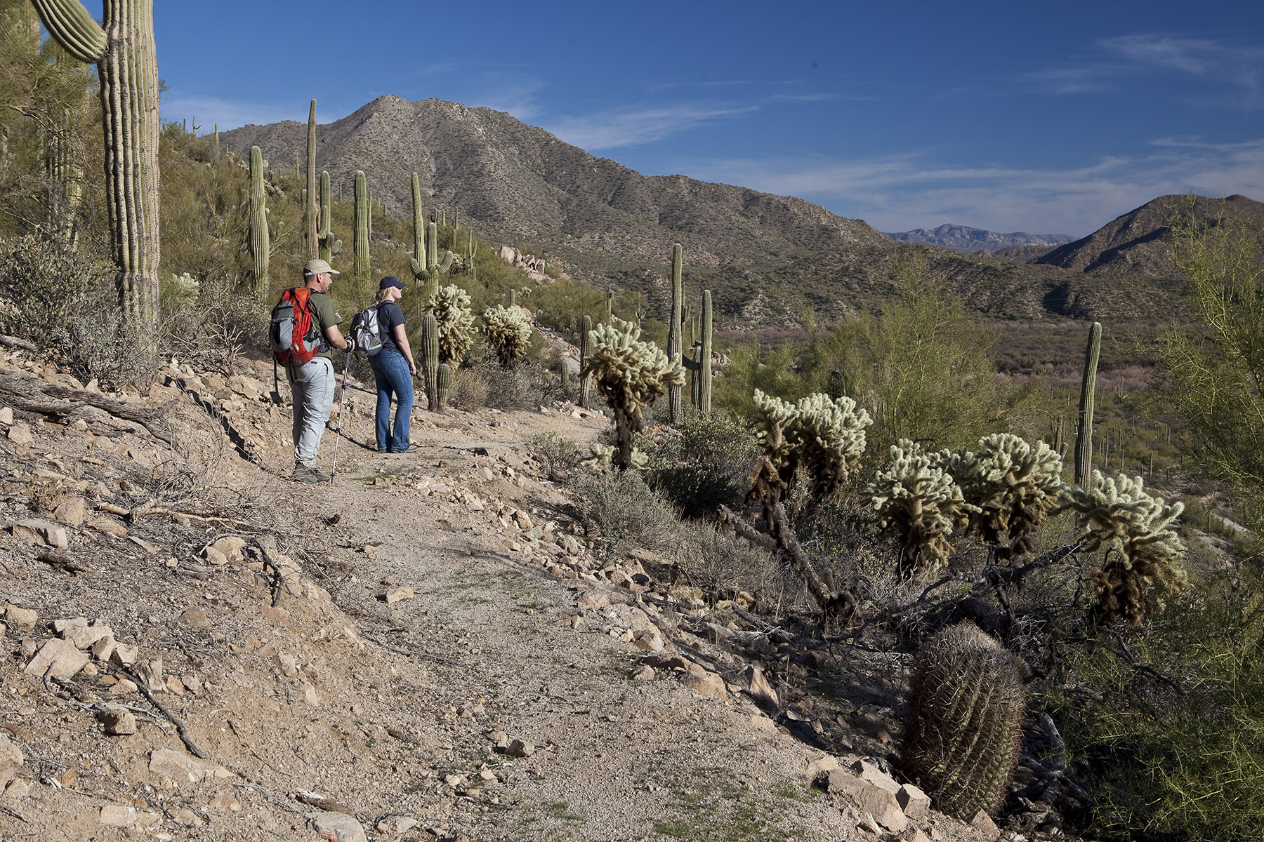
Imported descriptionThe 34,400-acre Table Top Wilderness lies in the southeastern Sonoran Desert National Monument. Table Top Mountain is the highest peak in the area and its flat-topped summit of 4,373 ft is a familiar landmark, easily recognized from Phoenix and Casa Grande. Steeply rising flat-top mesas, ridges, lava flows, wide canyons and mesquite-and ironwood-lined washes surround Table Top Peak.Hikers, backpackers, horseback riders and others venturing into the wilderness are rewarded with solitude. The four-mile-long Table Top Trail leads to the summit of Table Top, with the trailhead at the southwest corner of the wilderness (equestrian use not recommended on this trail due to steep conditions). The view from atop the peak provides a panorama of mountains ranges and desert plains. The abundant desert vegetation includes an unusual 40-acre island of desert grassland on the summit of Table Top and dense saguaro forests on the southwest side. The Lava Flow Trail meanders through the lowlands of the wilderness area. Desert bighorn sheep, coyote, quail, javelina, giant spotted whiptail lizard and the Ajo Mountain whipsnake, and numerous birds, reptiles and raptors abound.Your SafetyThis is a remote area and access roads are not maintained. Cell phones do not work in many areas of the monument.Heat and SunThe monument's elevation ranges from 1,000 to 4,400 feet (304-1,215 m), so summer is rough on visitors. It's best to enjoy the monument from late October to mid-April. If you are visiting in summer, take extra precautions to drink plenty of water, as temperatures may exceed 110°F (43°C). We recommend sunscreen, sunglasses and a hat. Weather forecastWaterBring all the water you will need. There is no drinking water available on the monument. Plan on drinking one gallon (4 liters) per person per day—more if you're engaged in strenuous activities.Your vehicleMake sure your gasoline tank is full, carry additional water and full-size spare tires in your vehicle, and make sure your vehicle is in good working condition. Winter is the most popular time to visit.WildlifeThe desert sun stirs up rattlesnakes and other reptiles as early as February.Flash floodsFlash floods caused by sudden storms can be dangerous in washes, so it is best to have a survival plan to prevent emergency situations. Have good maps with you and know how to use them.Border ConcernsThe southern part of the monument is a corridor for drug and human smugglers. Be alert for illegal activities and law enforcement operations.Respect and ProtectThe area is home to many species of wildlife. Please remember to practice outdoor ethics and recreate responsibly. Help us protect this unique environment by leaving no trace during your visit.Check for fire restrictions before your visit. Using exploding targets, fireworks, sky lanterns, tracer ammunition and other incendiary devices is prohibited on BLM-managed public land in Arizona.Report resource crimes including vandalism, dumping and suspicious activity at 1-800-637-9152.Know Before You GoMotorized equipment and equipment used for mechanical transport are generally prohibited on all federal lands designated as wilderness. This includes the use of motor vehicles (including OHVs), motorboats, bicycles, hang gliders, wagons, carts, portage wheels, and the landing of aircraft including helicopters. Contact the agency for more information about regulations.Road conditions to the wilderness vary with high-clearance and four-wheel-drive vehicle requirements. Roads are primitive and not maintained. Have a full tank of gas, full-size spare tires, a vehicle tool kit, and first aid kit. The main access routes and washes are prone to heavy seasonal rains and flash floods. Do not cross flooding streams or washes!Motorized and mechanized vehicles, including bicycles must remain on existing routes.Drinking water is not available, so you should bring plenty of your own water.
Source: recreation.gov
Reviews
No reviews yet
Be the first to share your experience and help others plan their visit.
Hunting in this park
Hunting is generally prohibited in this National Park Service unit
Verify current park-specific rules with the National Park Service before planning any hunt. See NPS regulations
Within ~100 miles
Parks near Table Top Wilderness
other
Park
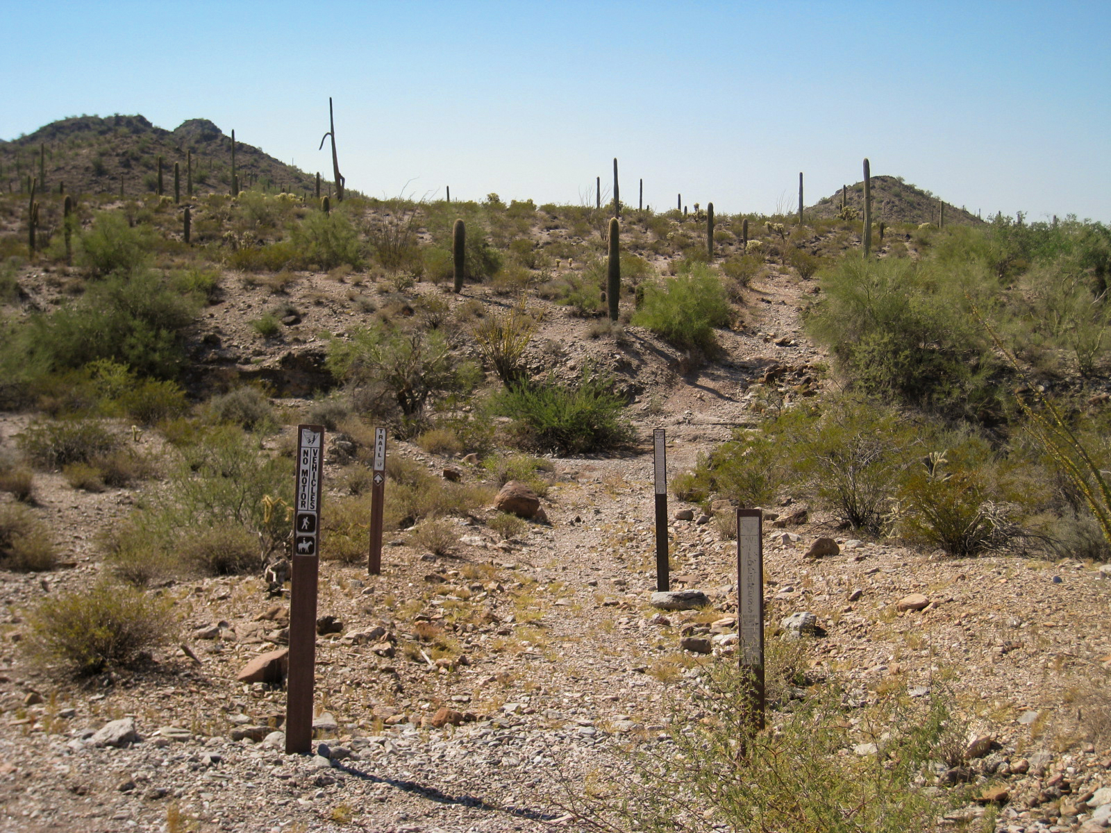
Table Top Trail
Arizona
Nat'l Recreation Area
Park
Lava Flow Trail
Arizona
National Monument
Park
Sonoran Desert National Monument
Arizona
Nat'l Recreation Area
Park
Estrella Wayside Recreation Area
Arizona
Nat'l Recreation Area
Park
Quartz Peak Trail
Arizona

National Monument
Park
Casa Grande Ruins National Monument
Arizona
Same state
More parks in Arizona
Featured
National Park
Park
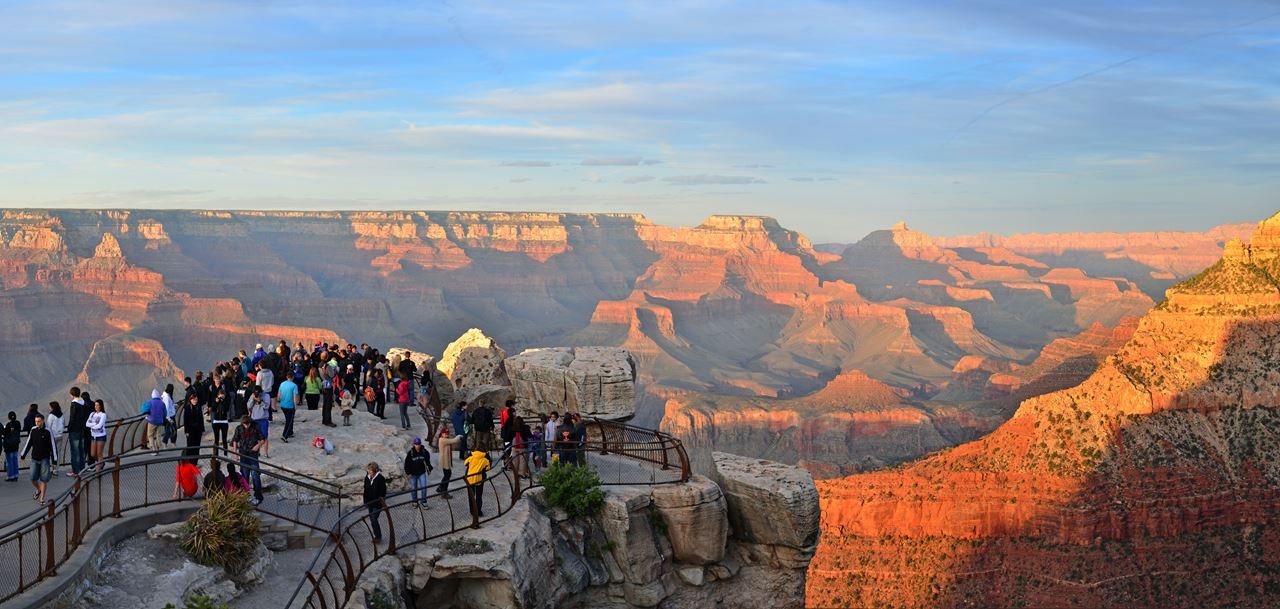
Grand Canyon National Park
Arizona
1,878 sq mi
Nat'l Recreation Area
Park
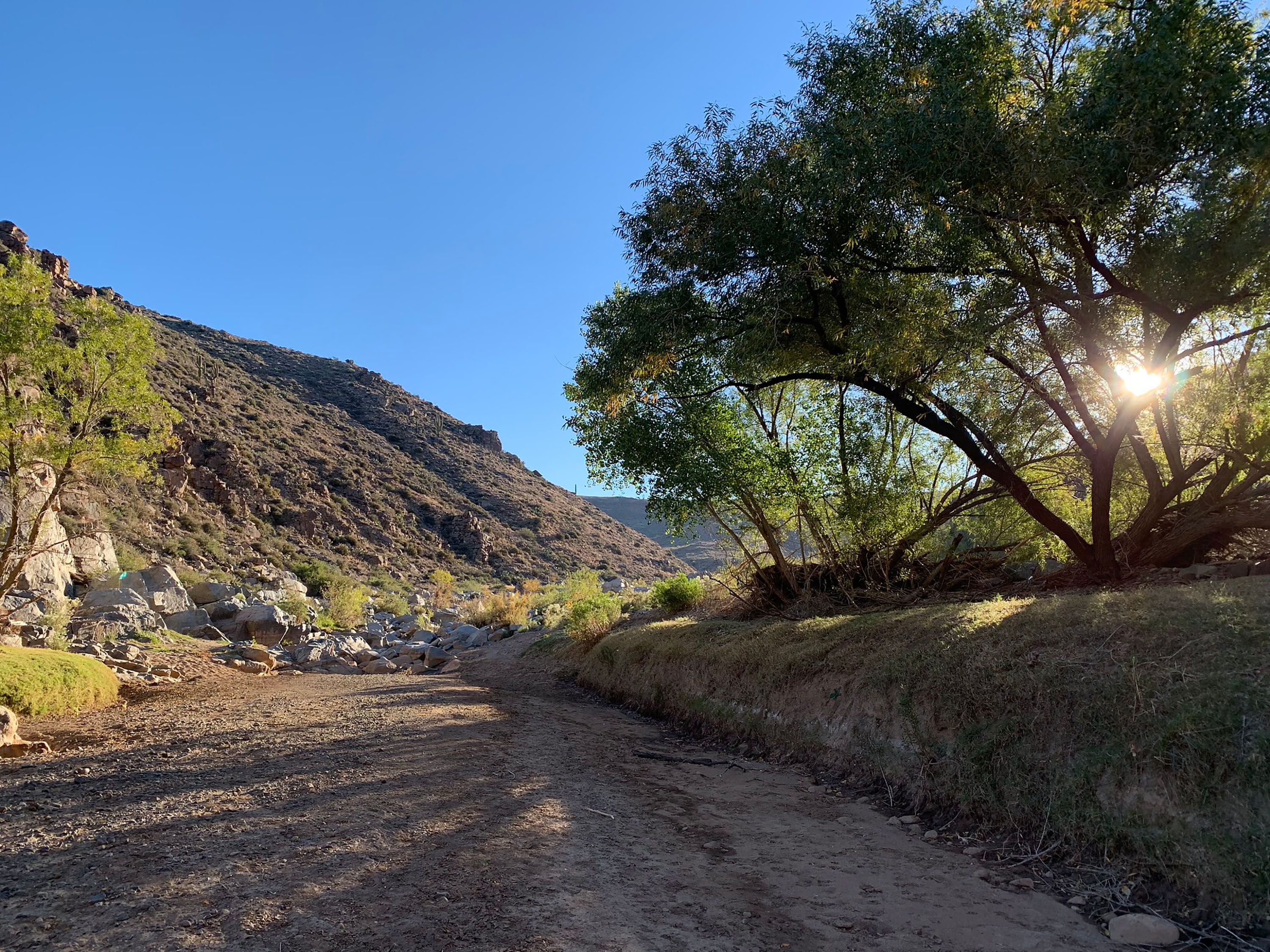
Agua Fria National Monument
Arizona
Nat'l Recreation Area
Park
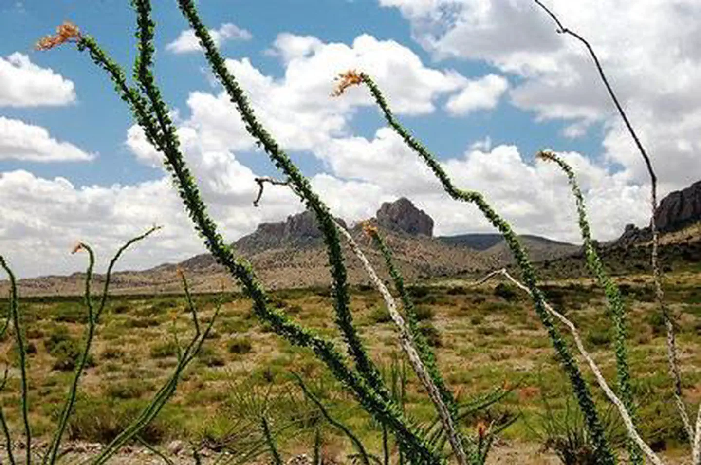
Alamo Hueco Mountains Wilderness Study Area
Arizona
Nat'l Recreation Area
Park
Alamo Lake
Arizona
Nat'l Recreation Area
Park
Apache Box Wilderness Study Area
Arizona
Nat'l Recreation Area
Park
Apache-Sitgreaves National Forest
Arizona
National Forest
Park
Apache-Sitgreaves National Forests
Arizona
4,313 sq mi
Nat'l Recreation Area
Park
Arizona National Scenic Trail
Arizona
Spot an error in our data on Table Top Wilderness?