No photos yet
Official sources & verification
Managed by National Recreation Area
Source of truth
- Agency source page
The page our published rules and notes are derived from.
Managing agency
- National Recreation Area
Find offices, alerts, and current orders for this agency.
Verify by phone or mail
- Operator:435-587-1500
- Email:utmtmail@blm.gov
- Address:UT
About
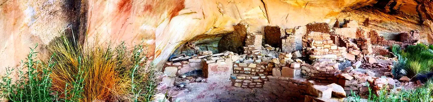
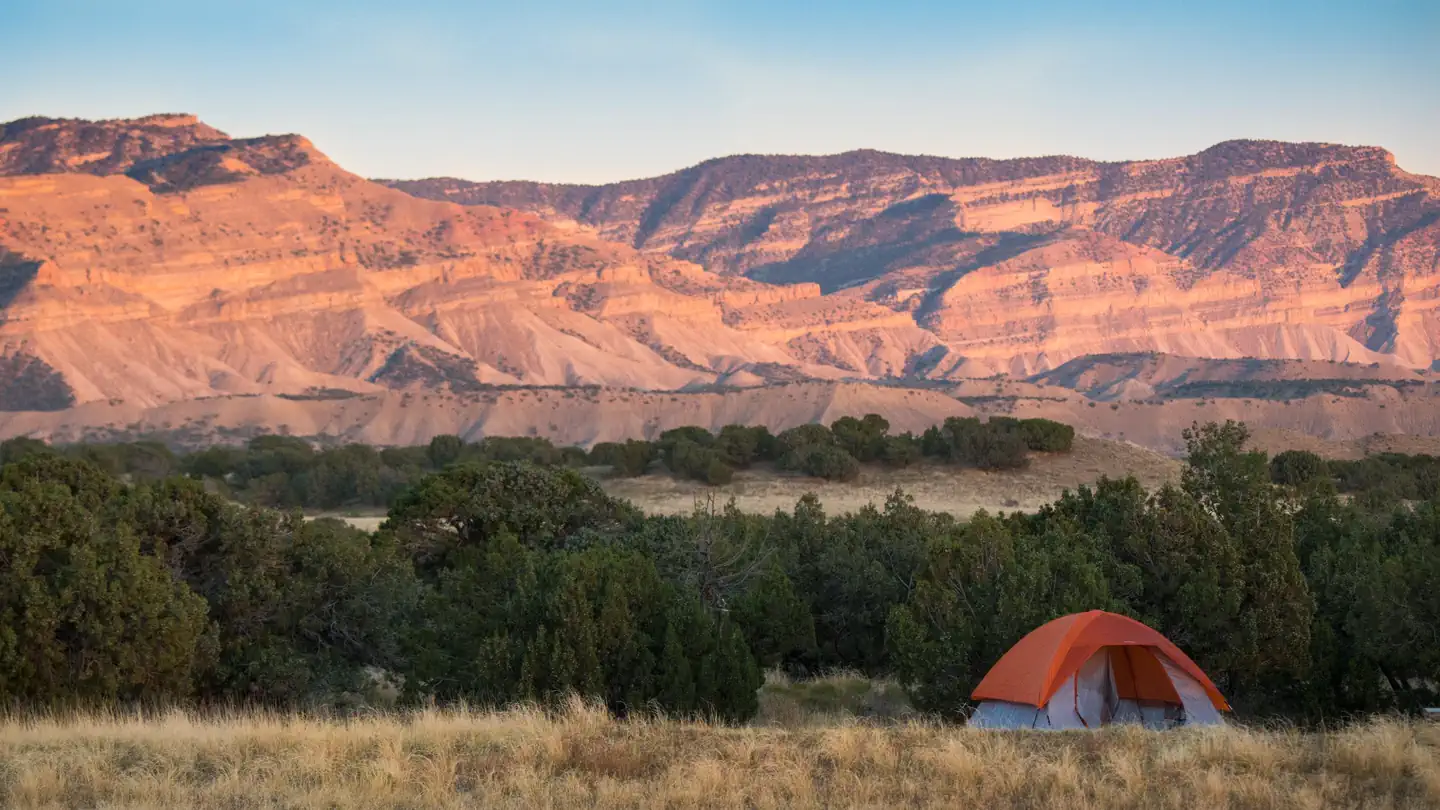
Imported descriptionThe North and South Forks of Mule Canyon are two fairly easy hiking areas on Cedar Mesa, north of U.S. Highway 95. The two canyons run roughly parallel to each other. They are similar in appearance, being relatively shallow at the trailhead near the road, and gradually deepening as they wind toward the west. Alternating band of red and white sandstone typify the canyon walls, which become increasingly sheer at the upper ends of the forks. Although there is no constructed, maintained trail, the route follows the creek bottom and a commonly used foot path. Boulders and evergreen trees crowd the canyon bottoms in the upper ends, while the lower stretches are wider and more open. The hike is in the canyon bottom and only gains a few hundred feet over the course of seven miles. A permit to hike or backpack is required.
Source: recreation.gov
Reviews
No reviews yet
Be the first to share your experience and help others plan their visit.
Hunting in this park
Hunting is generally prohibited in this National Park Service unit
Verify current park-specific rules with the National Park Service before planning any hunt. See NPS regulations
Within ~100 miles
Parks near South Mule Canyon
Nat'l Recreation Area
Park
North Mule Canyon
Utah
Nat'l Recreation Area
Park
Mule Canyon
Utah
National Monument
Park
Bears Ears National Monument - Shash Jaa SRMA
Utah
Nat'l Recreation Area
Park
Butler Wash Ruins
Utah
Nat'l Recreation Area
Park
Fish Creek Canyon
Utah
National Monument
Park
Bears Ears National Monument
Utah
2,125 sq mi
Same state
More parks in Utah

Featured
National Park
Park
Arches National Park
Utah
120 sq mi

Featured
National Park
Park
Bryce Canyon National Park
Utah
56 sq mi

Featured
National Park
Park
Zion National Park
Utah
230 sq mi
Nat'l Recreation Area
Park
18 Road - North Fruita Desert
Utah

Nat'l Recreation Area
Park
Anasazi State Park Museum
Utah

Nat'l Recreation Area
Park
Antelope Island State Park
Utah
recreation area
Park
Armijo Route
Utah
National Forest
Park
Ashley National Forest
Utah
2,160 sq mi
Spot an error in our data on South Mule Canyon?