No photos yet
Official sources & verification
Managed by National Recreation Area
Source of truth
- Agency source page
The page our published rules and notes are derived from.
Managing agency
- National Recreation Area
Find offices, alerts, and current orders for this agency.
Verify by phone or mail
- Operator:602-867-5400
- Email:blm_az_pdoweb@blm.gov
- Address:AZ
About
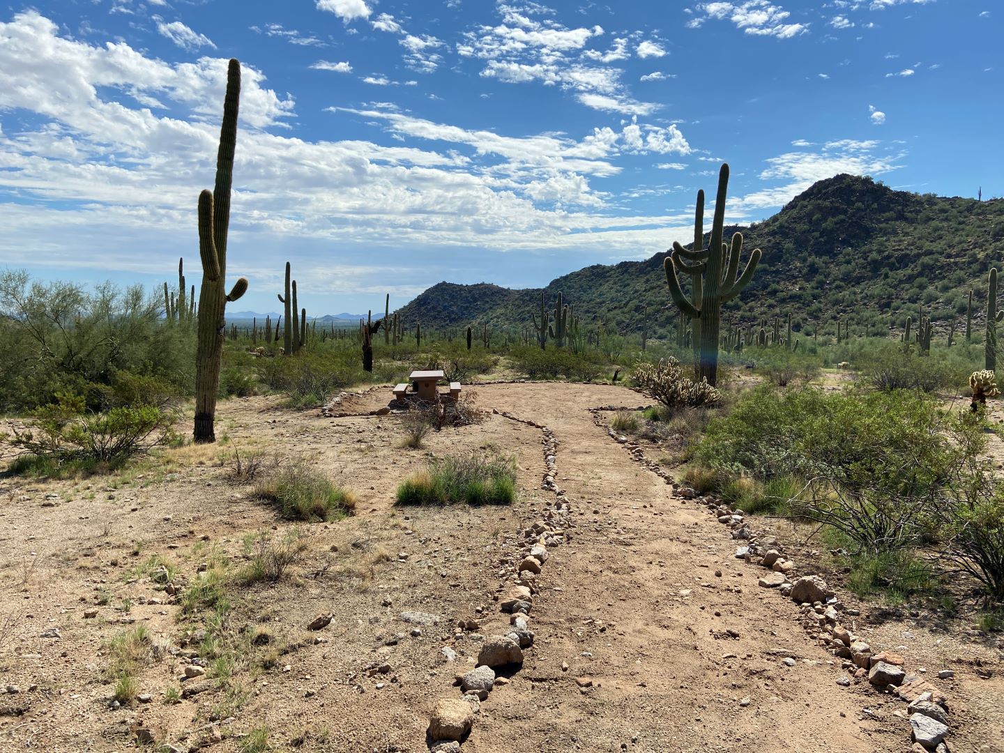
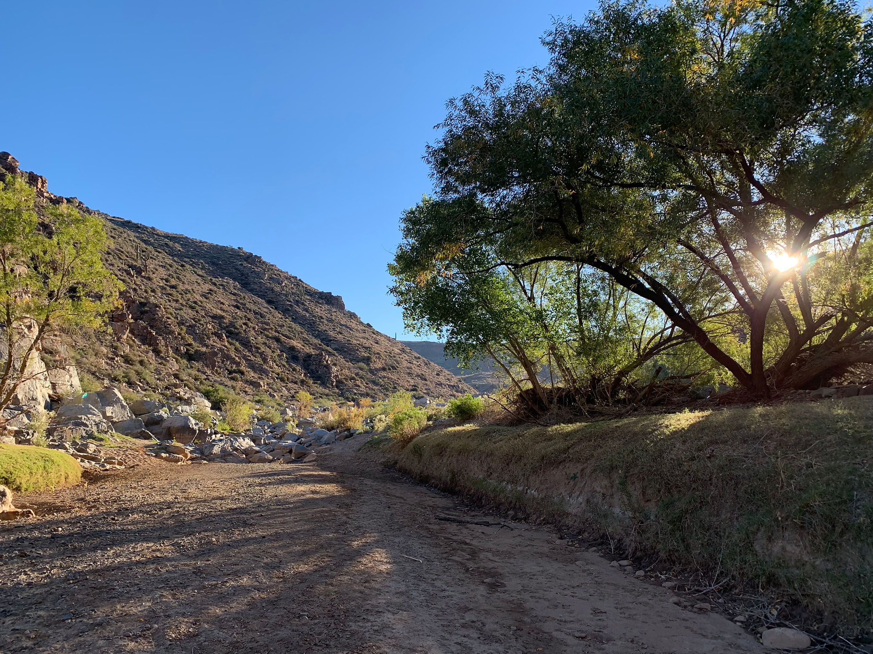
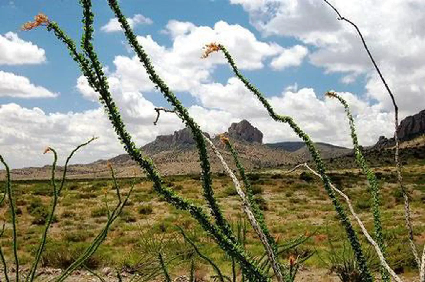
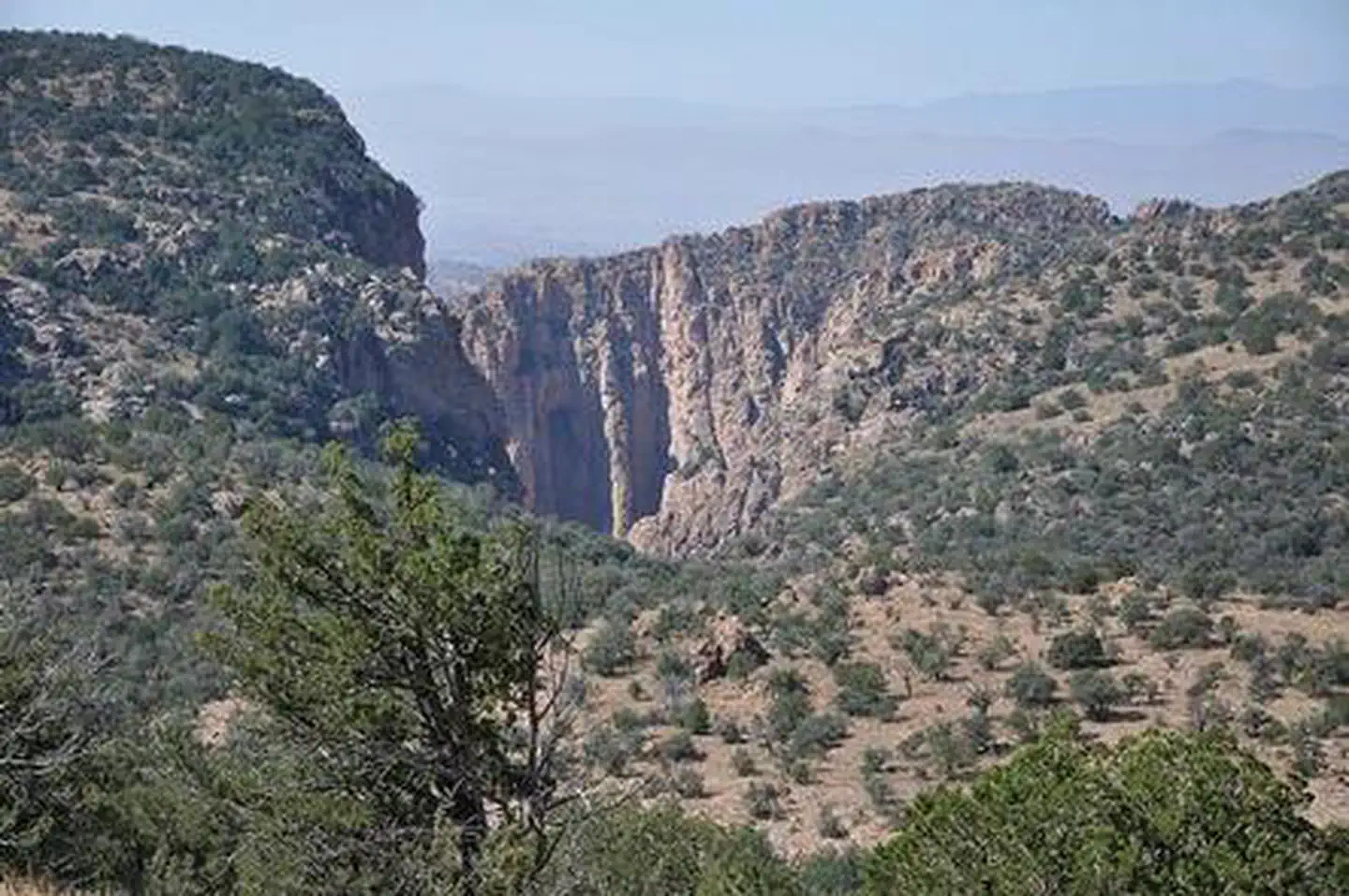
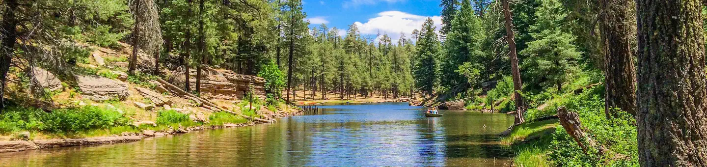
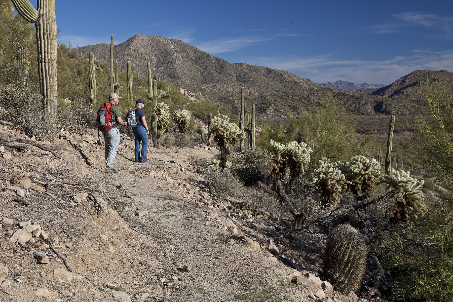
Imported descriptionThe 13,350-acre Signal Mountain Wilderness is in southwest Maricopa County, 18 miles northwest of Gila Bend and 35 miles southwest of Phoenix. This wilderness is adjacent to the 64,000-acre Woolsey Peak Wilderness just to the southeast, separated by a four-wheel-drive road.This wilderness offers a variety of scenery, including sharp volcanic peaks, steep-walled canyons, arroyos, craggy ridges and outwash plains. Signal Mountain, at the area's center, rises 1,200 feet above the desert floor to an elevation of 2,182 feet. Paloverde-saguaro and creosote bush bursage plant communities are found throughout bajada and upland areas, while washes are lined with mesquite, ironwood, acacia and paloverde.This wilderness provides several primitive recreation opportunities, such as rock climbing in the canyons and valleys around Signal Mountain, day and overnight hiking, rock collecting, and deer and quail hunting. Fortunate visitors may observe desert bighorn sheep, desert tortoise, mule deer and various raptors.Know Before You GoIn wilderness, you can enjoy challenging recreational activities and extraordinary opportunities for solitude. Please follow the regulations in place for this area, and use Leave No Trace techniques when visiting to ensure protection of its unique natural and experiential qualities.Motorized equipment and equipment used for mechanical transport are generally prohibited on all federal lands designated as wilderness. This includes the use of motor vehicles (including OHVs), motorboats, bicycles, hang gliders, wagons, carts, portage wheels, and the landing of aircraft including helicopters Contact the agency for more information about regulations.High-clearance vehicles are needed, and four-wheel drive vehicles are recommended, except for portions of the Enterprise Road south of Gillespie Dam.Some lands around and within the wilderness are not federally administered. Please respect the property rights of the owners and do not cross or use these lands without their permission.
Source: recreation.gov
From Wikipedia
Signal Mountain Wilderness is a protected wilderness area centered around its namesake Signal Mountain, rising 1,200 feet (370 m) to a summit at 2,057 feet (627 m) in the Gila Bend Mountains in the U.S. state of Arizona. Established in 1990 under the Arizona Desert Wilderness Act, the area is managed by the Bureau of Land Management. The desert wilderness is made up of steep canyons, winding arroyos, and volcanic peaks within a Sonoran Desert ecosystem.
Source: Wikipedia — text licensed CC BY-SA 4.0. Verify alerts and operational details with the managing agency below.
Reviews
No reviews yet
Be the first to share your experience and help others plan their visit.
Hunting in this park
Hunting is generally prohibited in this National Park Service unit
Verify current park-specific rules with the National Park Service before planning any hunt. See NPS regulations
Within ~100 miles
Parks near Signal Mountain Wilderness
Nat'l Recreation Area
Park
Woolsey Peak Wilderness
Arizona

Nat'l Recreation Area
Park
Eagletail Mountains Wilderness
Arizona
Nat'l Recreation Area
Park
Big Horn Mountains Wilderness
Arizona
Nat'l Recreation Area
Park
Hummingbird Springs Wilderness
Arizona
Nat'l Recreation Area
Park
Estrella Wayside Recreation Area
Arizona
Nat'l Recreation Area
Park
Quartz Peak Trail
Arizona
Same state
More parks in Arizona

Featured
National Park
Park
Grand Canyon National Park
Arizona
1,878 sq mi
Nat'l Recreation Area
Park
Agua Fria National Monument
Arizona
Nat'l Recreation Area
Park
Alamo Hueco Mountains Wilderness Study Area
Arizona
Nat'l Recreation Area
Park
Alamo Lake
Arizona
Nat'l Recreation Area
Park
Apache Box Wilderness Study Area
Arizona
Nat'l Recreation Area
Park
Apache-Sitgreaves National Forest
Arizona
National Forest
Park
Apache-Sitgreaves National Forests
Arizona
4,313 sq mi
Nat'l Recreation Area
Park
Arizona National Scenic Trail
Arizona
Spot an error in our data on Signal Mountain Wilderness?