No photos yet
Official sources & verification
Managed by National Recreation Area
Source of truth
- Agency source page
The page our published rules and notes are derived from.
Managing agency
- National Recreation Area
Find offices, alerts, and current orders for this agency.
Verify by phone or mail
- Operator:530-224-2100
- Email:blm_ca_web_re@blm.gov
- Address:OR
About
Imported descriptionThe Sacramento River Rail Trail is a historic and scenic non-motorized paved path running 11 miles north-south along the western shore of the Keswick Reservoir from just below Shasta Dam to Keswick Dam Road. Access is available from five BLM-managed trailheads including Coram Road, Matheson, Keswick Boat Launch, Rock Creek, and Keswick Dam trailheads. Hundreds of miles of trail connect to the Sacramento River Rail Trail, including the motorized off highway vehicle trails of Chappie-Shasta at the northern terminus of the trail.There are two lanes for travel in either direction and sweeping views of the Keswick Reservoir and surrounding landscape. River access is available at multiple sites including a paved boat launch at Keswick Boat Launch and several undeveloped areas where kayaks or other smaller craft can be launched. Shoreline fishing is also accessible at several locations, notably along the Fishermen's Trail, accessible from the Keswick Dam Trailhead.Traveling south from Keswick Dam Trailhead, users can continue along a sister trail managed by the City of Redding, the Sacramento River Trail, to a variety of other trails and ultimately arrive at the Sundial Bridge. A paved trail outing could extend from Sundial Bridge to Shasta Dam and back, a 38-mile adventure. The most adventurous users could ride a combination of paved and dirt trails from the Sundial Bridge to Shasta Dam and back, a loop of over 40 miles along the western and eastern shores of the Sacramento River and Keswick Reservoir, and across the top of Shasta Dam.You can visit the Rails to Trails Conservancy online to learn about these trails’ 2024 inclusion in Rails to Trails Conservancy’s Hall of Fame. The trails are loaded with natural and cultural history. Between Keswick Dam Trailhead to Matheson Trailhead, users will find a series of plaques identifying trees and shrubs common throughout the region. The Upper Sac Ditch Trail has several historic signs about mining and railroad development. Middle Creek Trail, a few miles south of Keswick Dam Road, has information about the Ruggles brothers who robbed a stagecoach there in 1892. Middle Creek Trail is also a paved, 2 lane route, that travels up and away from the Sacramento River to the terminus of the town of Shasta.
Source: recreation.gov
Reviews
No reviews yet
Be the first to share your experience and help others plan their visit.
Hunting in this park
Hunting is generally prohibited in this National Park Service unit
Verify current park-specific rules with the National Park Service before planning any hunt. See NPS regulations
Within ~100 miles
Parks near Sacramento River Rail Trail
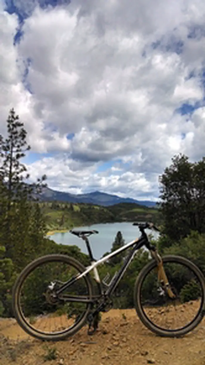
Nat'l Recreation Area
Park
Eastside Keswick Trails
Oregon
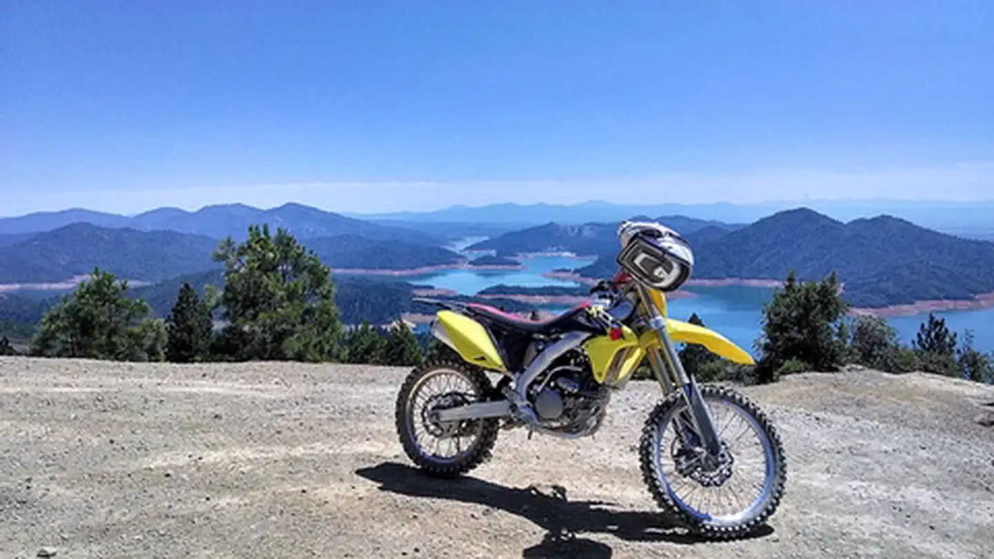
recreation area
Park
Chappie/Shasta Off-Highway Vehicle Recreation Area
Oregon
Nat'l Recreation Area
Park
Shasta National Rec. Area
Oregon
Nat'l Recreation Area
Park
Whiskeytown National Recreation Area
California
recreation area
Park
Trinity River Fish Hatchery
Oregon
Nat'l Recreation Area
Park
Lewiston National Recreation Area
Oregon
Same state
More parks in Oregon
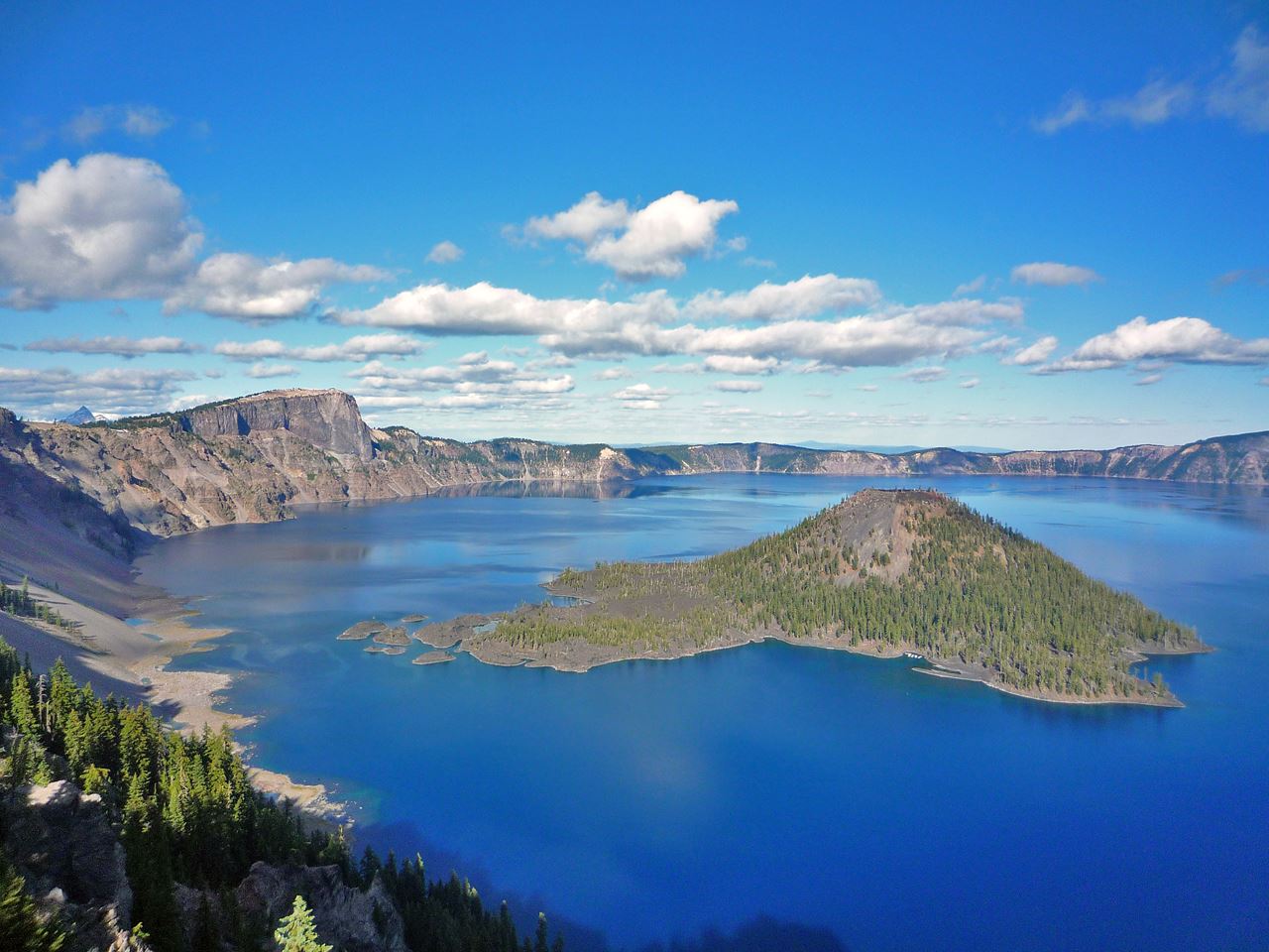
Featured
National Park
Park
Crater Lake National Park
Oregon
286 sq mi
Featured
National Forest
Park
Mt. Hood National Forest
Oregon
1,667 sq mi
Nat'l Recreation Area
Park
Agate Reservoir
Oregon
recreation area
Park
Agency Lake Ranch
Oregon
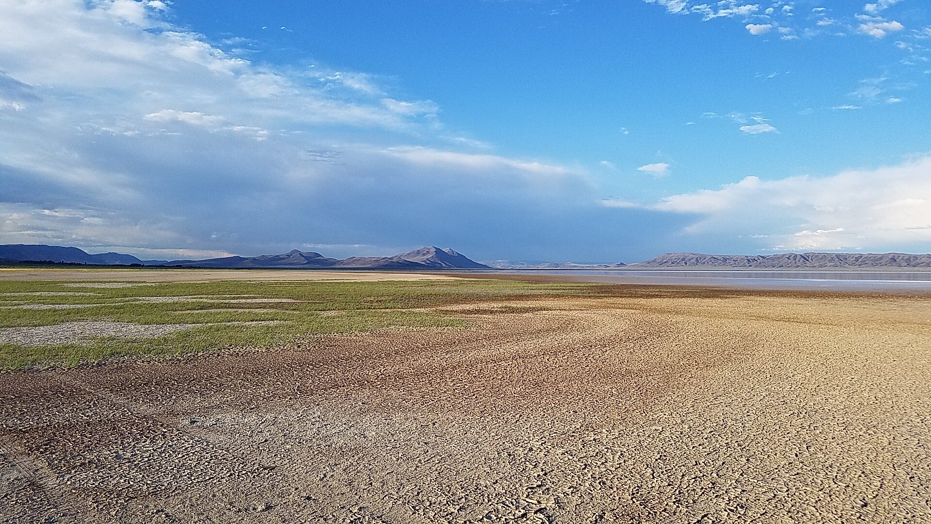
Nat'l Recreation Area
Park
Alvord Desert
Oregon

wildlife refuge
Park
Ankeny National Wildlife Refuge
Oregon
Nat'l Recreation Area
Park
Baker Cypress Trail
Oregon

Nat'l Recreation Area
Park
Bandon Marsh National Wildlife Refuge
Oregon
Spot an error in our data on Sacramento River Rail Trail ?