No photos yet
Official sources & verification
Managed by National Recreation Area
Source of truth
- Road Canyon — official page
Operator-published page with current visitor information.
- Agency source page
The page our published rules and notes are derived from.
Managing agency
- National Recreation Area
Find offices, alerts, and current orders for this agency.
Verify by phone or mail
- Operator:435-587-1500
- Email:utmtmail@blm.gov
- Address:UT
About
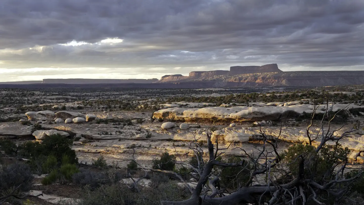
Imported descriptionRoad Canyon is accessed from the Cigarette Springs Road on Cedar Mesa. The elevation in the upper ends of Road Canyon begins at approximately 6,200 feet and drops to 4,900 feet at the lower ends. The walls of the canyon vary from 100 feet in the upper ends to over 500 feet in the lower ends. Erosion of the colorful Cedar Mesa Sandstone has created a layer cake effect of multiple tiers, especially in the middle and lower sections of the canyon. There are numerous archaeological sites present. Please take care when visiting these fragile sites. There are no maintained trails. Routes generally follow the mostly dry creek bed. There are long stretches of slickrock, with several pour-offs to negotiate. The canyon bottom is not as luch as some of the other Cedar Mesa canyons, and shade is at a minimum. A permit to hike or backpack is required.
Source: recreation.gov
Reviews
No reviews yet
Be the first to share your experience and help others plan their visit.
Hunting in this park
Hunting is generally prohibited in this National Park Service unit
Verify current park-specific rules with the National Park Service before planning any hunt. See NPS regulations
Within ~100 miles
Parks near Road Canyon
Same state
More parks in Utah

Featured
National Park
Park
Arches National Park
Utah
120 sq mi

Featured
National Park
Park
Bryce Canyon National Park
Utah
56 sq mi

Featured
National Park
Park
Zion National Park
Utah
230 sq mi
Nat'l Recreation Area
Park
18 Road - North Fruita Desert
Utah

Nat'l Recreation Area
Park
Anasazi State Park Museum
Utah

Nat'l Recreation Area
Park
Antelope Island State Park
Utah
recreation area
Park
Armijo Route
Utah
Nat'l Recreation Area
Park
Ashley National Forest
Utah
Spot an error in our data on Road Canyon?