No photos yet
Official sources & verification
Managed by National Recreation Area
Source of truth
- Agency source page
The page our published rules and notes are derived from.
Managing agency
- National Recreation Area
Find offices, alerts, and current orders for this agency.
Verify by phone or mail
- Operator:208-478-6340
- Email:BLM_ID_PocatelloOffice@blm.gov
- Address:ID
About
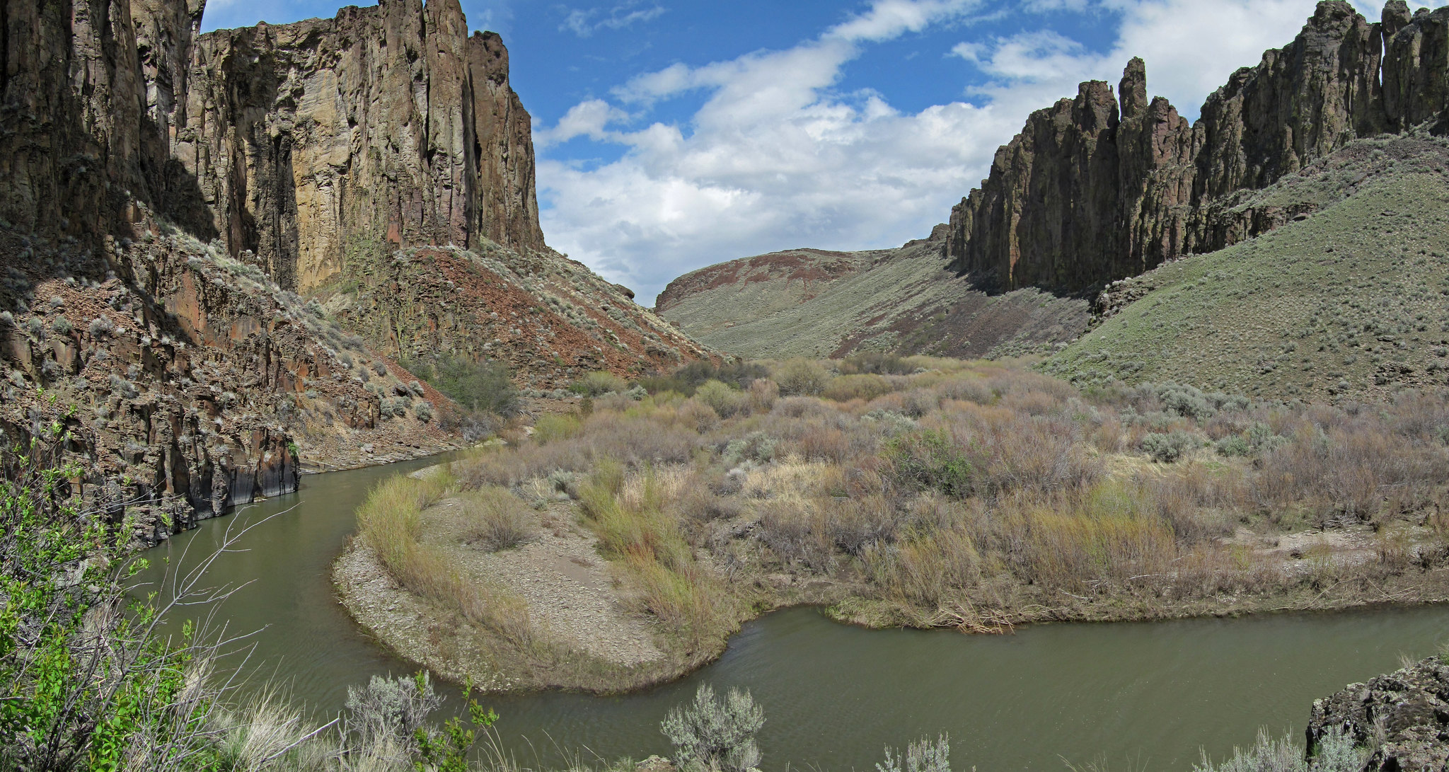
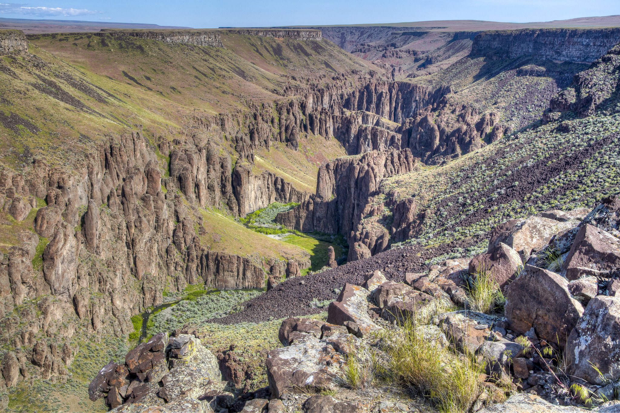
Imported descriptionIn Idaho, BLM manages over 11,000 acres of public lands in Petticoat Peak Wilderness Study Area. The topography around Petticoat Peak (8,000 feet) within the Fish Creek Mountain Range is steep and mountainous. Canyons and ridges radiate in all directions from the mountain peak. Dominant vegetation on the western slopes include juniper, mountain shrubs and sagebrush.
Source: recreation.gov
Reviews
No reviews yet
Be the first to share your experience and help others plan their visit.
Hunting in this park
Hunting is generally prohibited in this National Park Service unit
Verify current park-specific rules with the National Park Service before planning any hunt. See NPS regulations
Within ~100 miles
Parks near Petticoat Peak Wilderness Study Area
Nat'l Recreation Area
Park
Blackrock Canyon Recreation Site
Idaho
Nat'l Recreation Area
Park
Heart Mountain Springs Recreation Site
Utah
Nat'l Recreation Area
Park
Blackfoot River
Idaho
recreation area
Park
Oxford Slough Waterfowl Production Area
Utah

wildlife refuge
Park
Grays Lake National Wildlife Refuge
Utah
Nat'l Recreation Area
Park
Worm Creek Wilderness Study Area
Utah
Same state
More parks in Idaho
Nat'l Recreation Area
Park
Anderson Ranch Reservoir Boat Ramps
Idaho
Wilderness Area
Park
Appendicitis Hill Wilderness Study Area
Idaho

recreation area
Park
Arrowrock Reservoir
Idaho
Nat'l Recreation Area
Park
Balanced Rock
Idaho
Nat'l Recreation Area
Park
Battle Creek Wild and Scenic River
Idaho
Nat'l Recreation Area
Park
Bear Den Butte Wilderness Study Area
Idaho

Nat'l Recreation Area
Park
Beaverhead-Deerlodge National Forest
Idaho
Nat'l Recreation Area
Park
Big Jacks Creek Wild and Scenic River
Idaho
Spot an error in our data on Petticoat Peak Wilderness Study Area?