
Official sources & verification
Managed by Recreation Area
Source of truth
- Agency source page
The page our published rules and notes are derived from.
Verify by phone or mail
- Operator:208-587-7961
- Email:pninfo@usbr.gov
- Address:ID
About
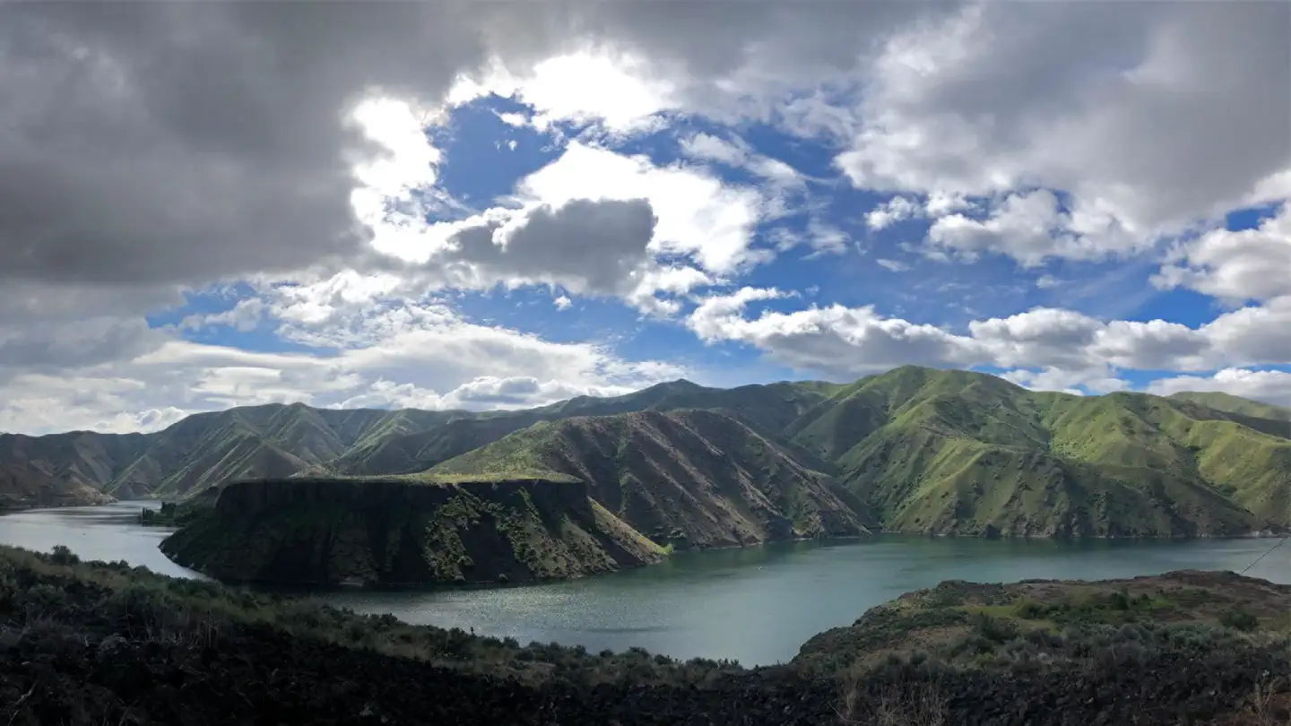
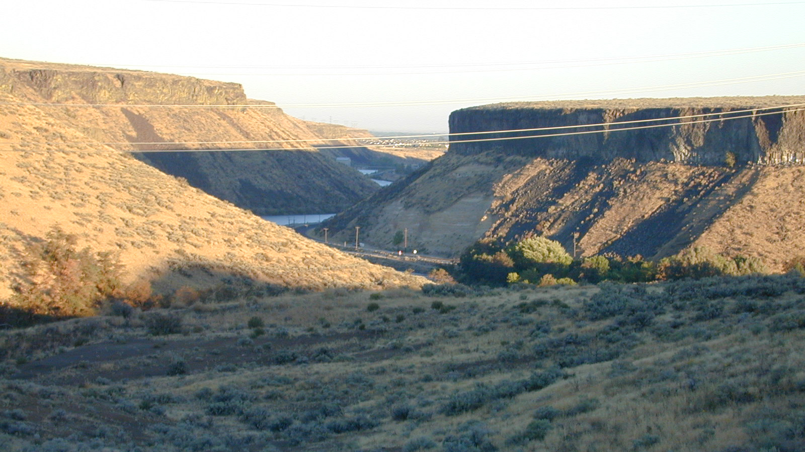
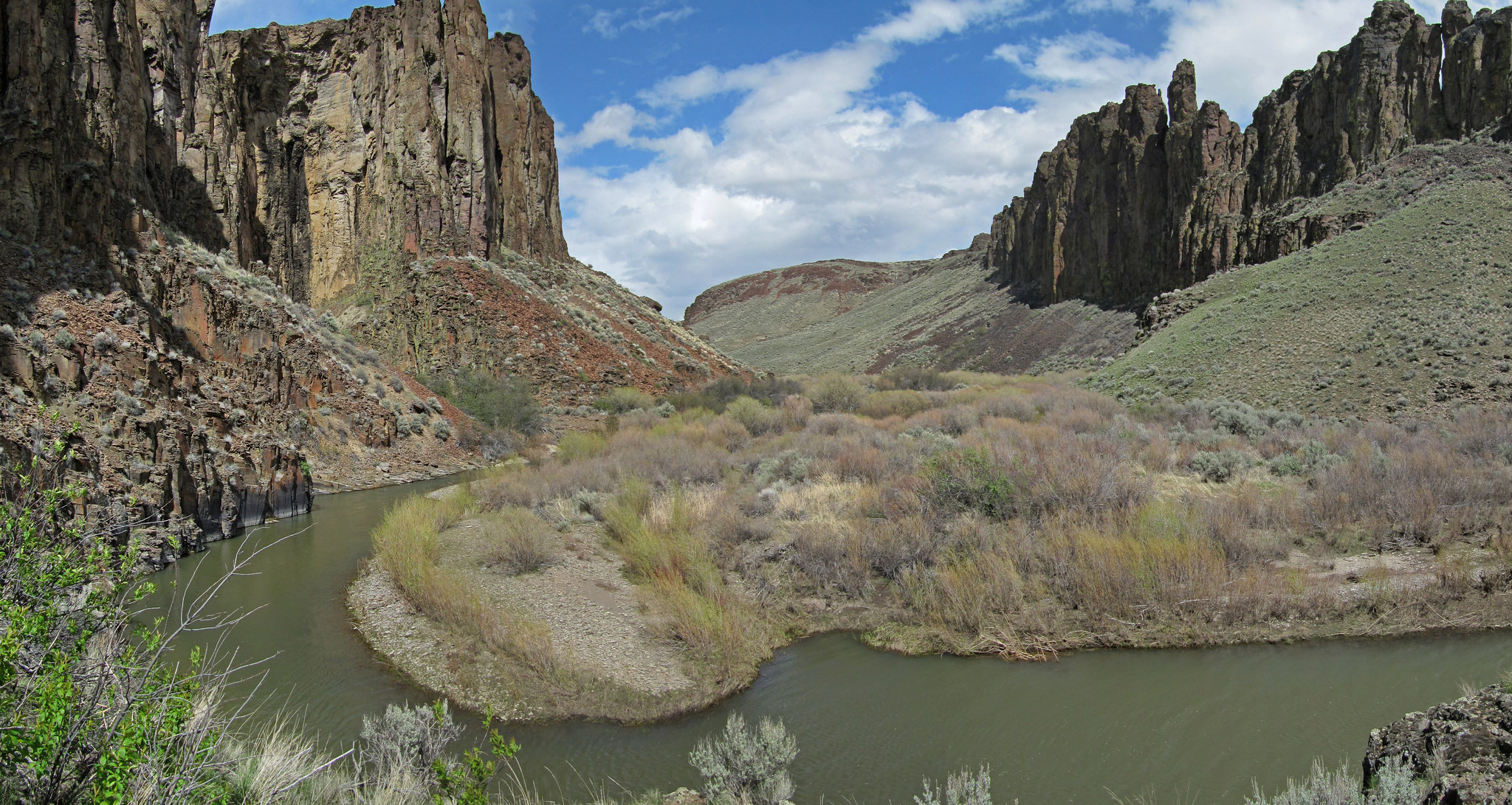
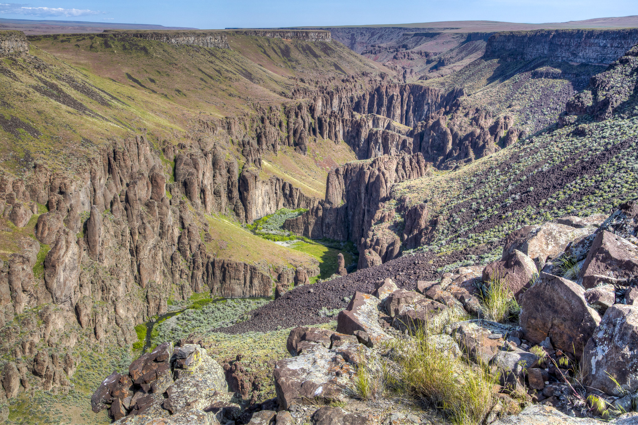
Arrowrock Dam is a concrete arch dam in the western United States, on the Boise River in southwestern Idaho, east of Boise. Opened 111 years ago in 1915, it is located on the border of Boise and Elmore counties, upstream of the Lucky Peak Dam and reservoir. The spillway elevation for Arrowrock is 3,219 feet (981 m) above sea level and its primary purpose is to provide irrigation water for agriculture.
Source: Wikipedia — text licensed CC BY-SA 4.0. Verify alerts and operational details with the managing agency below.
Reviews
No reviews yet
Be the first to share your experience and help others plan their visit.
Hunting in this park
This park overlaps hunting units
During hunting seasons, wear blaze orange and check regulations — see the Idaho hunting page
Within ~100 miles
Parks near Arrowrock Reservoir
Lucky Peak Lake
Idaho
Parkrecreation area
Bonneville Point
Idaho
ParkNat'l Recreation Area
Ridge to Rivers Trail System
Idaho
ParkNat'l Recreation Area
Anderson Ranch Reservoir Boat Ramps
Idaho
ParkNat'l Recreation Area
Montour Wildlife/Recreation Management Area
Idaho
ParkNat'l Recreation Area
Payette River Corridor
Idaho
ParkNat'l Recreation Area
Same state
More parks in Idaho
Appendicitis Hill Wilderness Study Area
Idaho
ParkWilderness Area
Balanced Rock
Idaho
ParkNat'l Recreation Area
Battle Creek Wild and Scenic River
Idaho
ParkNat'l Recreation Area
Bear Den Butte Wilderness Study Area
Idaho
ParkNat'l Recreation Area

Beaverhead-Deerlodge National Forest
Idaho
ParkNat'l Recreation Area
Big Jacks Creek Wild and Scenic River
Idaho
ParkNat'l Recreation Area
Big Jacks Creek Wilderness Area
Idaho
ParkNat'l Recreation Area
Big Sheep Creek Back Country Byway
Idaho
ParkNat'l Recreation Area
Spot an error in our data on Arrowrock Reservoir?