No photos yet
Official sources & verification
Managed by National Recreation Area
Source of truth
- Agency source page
The page our published rules and notes are derived from.
Managing agency
- National Recreation Area
Find offices, alerts, and current orders for this agency.
Verify by phone or mail
- Operator:208-384-3300
- Email:BLM_ID_FourRiversOffice@blm.gov
- Address:ID
About
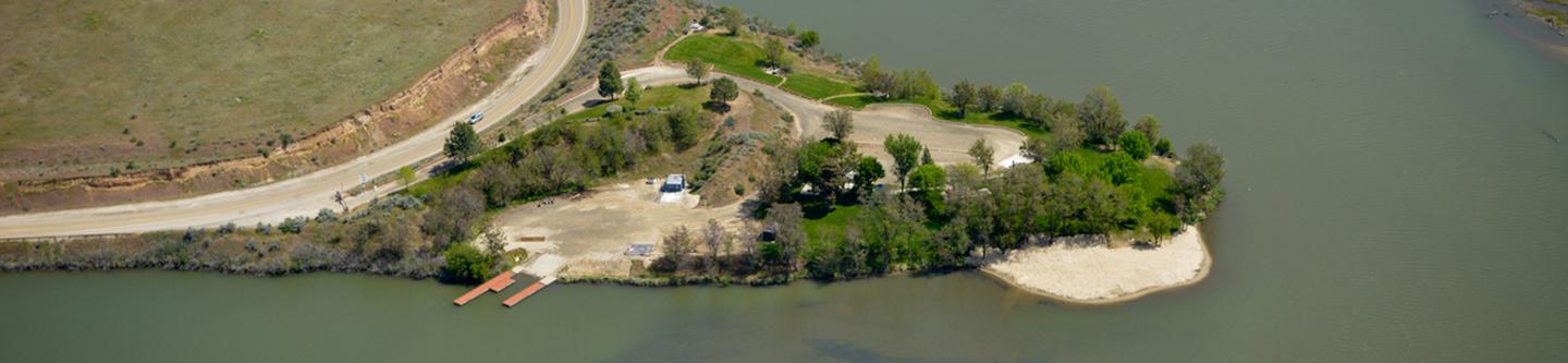
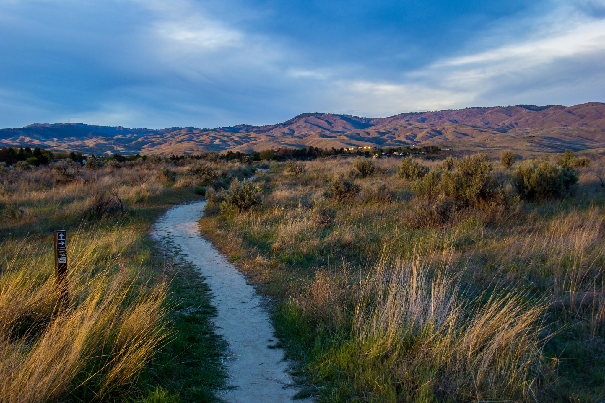
Imported descriptionFlowing from the central Idaho mountains, the Payette River and its various forks offers a variety of river related recreational opportunities. The BLM and Forest Service jointly manage the Main Payette and South Fork Payette Rivers to provide public river access primarily for white-water boating. For the beginner, the Main Payette, from Banks to Beehive Bend, offers Class II-III rapids. The "Staircase" section of the South Fork (Confluence or Deer Creek to Banks) will provide a little more challenging Class II-III options, and the "Canyon" stretch (Deadwood to Danskin) will test your Class III-V rapids skills.Payette River Maps (Boater's Guide)
Source: recreation.gov
Reviews
No reviews yet
Be the first to share your experience and help others plan their visit.
Hunting in this park
Hunting is generally prohibited in this National Park Service unit
Verify current park-specific rules with the National Park Service before planning any hunt. See NPS regulations
Within ~100 miles
Parks near Payette River Corridor
Nat'l Recreation Area
Park
Montour Wildlife/Recreation Management Area
Idaho

Nat'l Recreation Area
Park
Payette River
Idaho
Nat'l Recreation Area
Park
Black Canyon Reservoir
Idaho
Nat'l Recreation Area
Park
Ridge to Rivers Trail System
Idaho

recreation area
Park
Arrowrock Reservoir
Idaho
National Forest
Park
Boise National Forest
Idaho
3,443 sq mi
Same state
More parks in Idaho
Nat'l Recreation Area
Park
Anderson Ranch Reservoir Boat Ramps
Idaho
Wilderness Area
Park
Appendicitis Hill Wilderness Study Area
Idaho
Nat'l Recreation Area
Park
Balanced Rock
Idaho
Nat'l Recreation Area
Park
Battle Creek Wild and Scenic River
Idaho
Nat'l Recreation Area
Park
Bear Den Butte Wilderness Study Area
Idaho

Nat'l Recreation Area
Park
Beaverhead-Deerlodge National Forest
Idaho
Nat'l Recreation Area
Park
Big Jacks Creek Wild and Scenic River
Idaho
Nat'l Recreation Area
Park
Big Jacks Creek Wilderness Area
Idaho
Spot an error in our data on Payette River Corridor?